


Why visit Vellmar
Townapedia lists 23 museums and landmarks, 40 parks and trails, 97 places to eat, 2 places to stay and 24 attractions in and around town.
Highlights include Ottoneum, Staatstheater Kassel, Fridericianum and Gemäldegalerie Alte Meister.
Weather in Vellmar
Forecast from MET Norway (CC BY 4.0). Full forecast
About Vellmar
Vellmar (German pronunciation: [ˈfɛlmaʁ] ) is a town in the Kassel district, in Hesse, Germany. It is located on the Ahne river.
From the Wikipedia article Vellmar (this version), under CC BY-SA 4.0.
Things to do24

Ottoneum
Cinema and theater · 5.2 km
Museum and former theatre in Kassel, Germany

Staatstheater Kassel
Cinema and theater · 5.2 km
Theatre and opera house in Kassel, Germany

Häuschensberg-Blick
Scenic view · 2.0 km
Mit steinerner Platte neben dem Weg beschriftet.
Rohrbachtal-Blick
Scenic view · 2.2 km
Mit steinerner Platte neben dem Weg beschriftet.
12 more on the map.
Museums and landmarks23


Gemäldegalerie Alte Meister
Museum · 6.5 km
Art gallery housed in the Schloss Wilhelmshöhe in Kassel in Germany




Zuschlagsruh
Monument and historic site · 3.7 km
Gedenkstein, an die hier im Jahr 1900 geplanten nationalen Festpiele
11 more on the map.
Parks, trails and playgrounds40


Park Lilienweg
Park · 3.4 km
Schöner kleiner Park mit einem Spielplatz
10 Lilienweg, Kassel

Hauptfriedhof
Park · 3.4 km
Der Hauptfriedhof dient mit seinen alten Baumbeständen den Menschen in der Nordstadt auch als Park und Ort der Muße. Die Kasseler...
28 more on the map.
Restaurants and cafes97
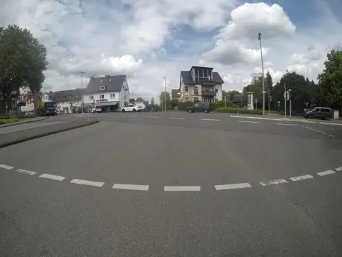
Uhrtürmchen
Bar and pub · Steak House · 3.7 km
134 Harleshäuser Straße, Kassel
Mo 16:00+, Tu-Fr 17:00+, Sa 18:00+, Su,PH off

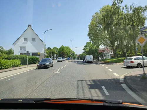
Alte Schmiede
Restaurant · Burger · 3.6 km
366 Wolfhager Straße, Kassel
Mo, We-Sa 16:00-22:00; Su 11:30-22:00

Da Lillo
Restaurant · Italian · 3.3 km
96 Veckerhagener Straße, Fuldatal
Mo 17:30-22:00; Tu,We 17:30-22:30; Th 12:00-14:00,17:30-22:30;...
Hopfengärtchen
Restaurant · German · 3.2 km
25A Frasenweg, Kassel
Tu-Sa 17:00-22:00; Su 11:00-14:00, 17:00-22:00
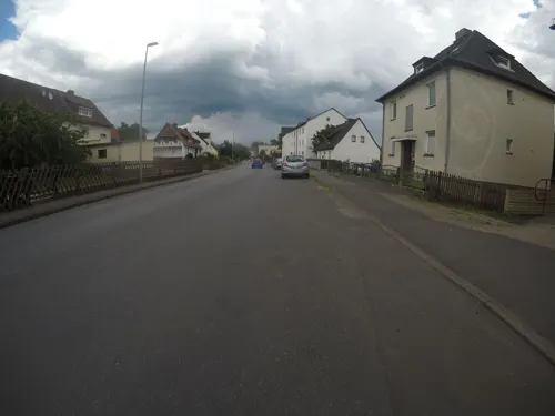
Malê Food & Bar
Restaurant · Mediterranean · 3.1 km
19 Niedervellmarsche Straße
Mo-Th 17:00-22:00, Fr-Su 16:00-22:00
Restaurant Schönewald
Restaurant · Regional · 2.9 km
17 Wilhelmstraße, Fuldatal
Mo-Fr 18:00-21:00; Su 12:00-14:00; We off
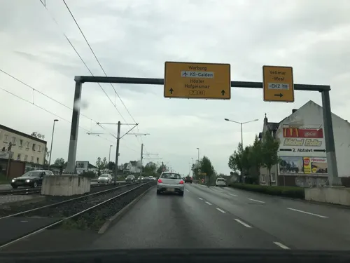
Thai Restaurant Si Surin
Restaurant · Thai · 1.1 km
103 Triftstraße, Vellmar
Tu-Sa 17:00-21:30; Su 12:00-14:30,17:00-21:30; Mo off
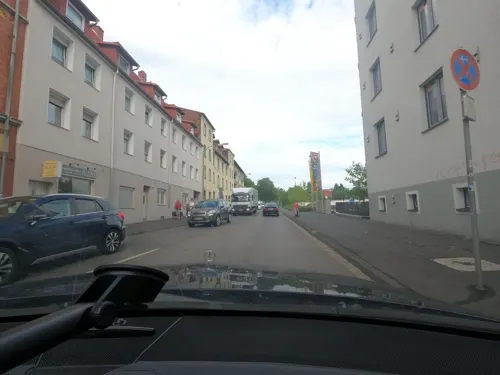


Bürgerstuben Vellmar-West
Restaurant · 1.8 km
10 Lüneburger Straße, Vellmar
Mo-We,Fr 17:00-23:00; Sa 17:00-22:00; Su 11:00-14:00,17:00-23:00; Th off
85 more on the map.
History
Vellmar gained city rights on August 30, 1975, to mark its 1200th anniversary, becoming, together with Baunatal, the youngest city in the district of Kassel. Between 1975 and the mid-1980s, the centre of the city with the town hall, shops and medical-centre, and the residential area of Musikerviertel, was built. The river Ahne that runs through the city is the namesake for the Ahnepark local recreation area, built in 1986.
Vellmar consists of four districts: Obervellmar, Niedervellmar, Frommershausen and Vellmar-West.
From the History section of Vellmar on Wikipedia, under CC BY-SA 4.0.
Where to stay2
Churches and places of worship33
Shopping37
Gas and EV charging16
Schools, colleges and libraries17
Healthcare13
Map of Vellmar
250 places. The map loads OpenStreetMap tiles when you open it.
Getting there and nearby towns
Kassel Airport (KSF) is the nearest airport with scheduled flights listed in OpenStreetMap, 9 km away.
- Kassel 5 km south, about 5 min by car
- Fuldatal 7 km northeast, about 7 min by car
- Lohfelden 11 km south, about 11 min by car
- Baunatal 13 km southwest, about 13 min by car
- Kaufungen 13 km southeast, about 13 min by car
- Hofgeismar 17 km northwest, about 17 min by car
- Wolfhagen 22 km west, about 22 min by car
- Hessisch Lichtenau 24 km southeast, about 24 min by car
- Felsberg 25 km south, about 25 min by car
- Melsungen 26 km south, about 26 min by car
Drive times are estimates from straight-line distance, not routes.
Local news
Headlines from INDB.
Reviews, tips and questions
Loading what members have shared...
Sources and licences
- GeoNames (CC BY 4.0): population, coordinates, regions and time zone
- Mapillary (see each image): photos
- OpenStreetMap contributors (ODbL 1.0): places, airports, map data
- Wikidata (CC0 1.0): elevation, founding date, time zone, website, landmarks and historic places
- Wikimedia Commons (see each image): photos
- Wikipedia (CC BY-SA 4.0): overview and history text
Photo credits
- Alte Mühle Ahnepark Vellmar, Feuermond16, CC BY-SA 3.0
- Bushaltestelle Sechsäcker, 2, Frommershausen, Vellmar, Landkreis Kassel, GeorgDerReisende, CC BY-SA 4.0
- Bushaltestelle Sechsäcker, 1, Niedervellmar, Vellmar, Landkreis Kassel, GeorgDerReisende, CC BY-SA 4.0
- Bushaltestelle Fontanestraße, 2, Frommershausen, Vellmar, Landkreis Kassel, GeorgDerReisende, CC BY-SA 4.0
- Bushaltestelle Fontanestraße, 1, Frommershausen, Vellmar, Landkreis Kassel, GeorgDerReisende, CC BY-SA 4.0
- Bushaltestelle Friedhof, 1, Frommershausen, Vellmar, Landkreis Kassel, GeorgDerReisende, CC BY-SA 4.0
- Eco Pfad Ahne "Weideweg Niedervellmar", Feuermond16, CC BY-SA 4.0
- Bushaltestelle Adalbert-Stifter-Straße, 1, Niedervellmar, Vellmar, Landkreis Kassel, GeorgDerReisende, CC BY-SA 4.0
- Tramhaltestelle Stadtmitte, 1, Vellmar, Landkreis Kassel, GeorgDerReisende, CC BY-SA 4.0
- Kämperbrücke 3, 1, Niedervellmar, Vellmar, Landkreis Kassel, GeorgDerReisende, CC BY-SA 4.0
- Bushaltestelle Hessenring, 2, Vellmar, Landkreis Kassel, GeorgDerReisende, CC BY-SA 4.0
- Bushaltestelle Hessenring, 1, Vellmar, Landkreis Kassel, GeorgDerReisende, CC BY-SA 4.0
- Bushaltestelle Espenauer Straße, 1, Vellmar, Landkreis Kassel, GeorgDerReisende, CC BY-SA 4.0
- Bushaltestelle Lüneburger Straße, 1, Vellmar, Landkreis Kassel, GeorgDerReisende, CC BY-SA 4.0
- Bushaltestelle Vellmar Nord, 1, Vellmar, Landkreis Kassel, GeorgDerReisende, CC BY-SA 4.0
- Bushaltestelle Lüneburger Straße, 2, Vellmar, Landkreis Kassel, GeorgDerReisende, CC BY-SA 4.0
- 18-09-19-Kassel-DJI 0096, Ralf Roletschek, GFDL 1.2
- Schloss Wilhelmshöhe 001, Nikanos, CC BY-SA 2.5
- Hessisches landesmuseum kassel, User Hafenbar on de.wikipedia, CC BY-SA 3.0
- 18-09-27-Kassel-RalfR-DJI 0377, Ralf Roletschek, GFDL 1.2
- Kassel Karlskirche, Eistreter, CC BY-SA 3.0
- 2020 06 02 Glaskasten Foto Uni Kasselq, Mönch K36, CC BY-SA 4.0
- AhneparkVellmar, Creando, CC BY-SA 3.0
- Grundschule Bossental, Hauptgebäude, Herbert Bonn, CC BY-SA 4.0
- Evangelische Kirche Obervellmar - DSCF2506, Johann H. Addicks - [email protected], GFDL 1.2
- Friedhofskapelle, 1, Ihringshausen, Fuldatal, Landkreis Kassel, GeorgDerReisende, CC BY-SA 4.0
- Evangelische Kirche, 3, Ihringshausen, Fuldatal, Landkreis Kassel, GeorgDerReisende, CC BY-SA 4.0
- Marienskulptur Marienkrankenhaus Kassel, Prof-konermann, CC BY-SA 3.0
- Eco Pfad Ahne (10), Feuermond16, CC BY-SA 4.0
- Eco Pfad Ahne (9), Feuermond16, CC BY-SA 4.0
- Eco Pfad Ahne (8), Feuermond16, CC BY-SA 4.0
- Grundschule Frommershausen - panoramio, kasselatze, CC BY-SA 3.0
- DCB, Kenny McFly and Sebastian Wallroth on the train to AdminCon, User:Wnme, CC0
- Eco Pfad "Ahnepark", Feuermond16, CC BY-SA 4.0
- Eco Pfad Ahne (7), Feuermond16, CC BY-SA 4.0
- Bushaltestelle Bundespolizei, 1, Ihringshausen, Fuldatal, Landkreis Kassel, GeorgDerReisende, CC BY-SA 4.0
- Bushaltestelle Warteberg, 1, Philippinenhof-Warteberg, Kassel, GeorgDerReisende, CC BY-SA 4.0
- Bushaltestelle Udenhäuser Straße, 1, Philippinenhof-Warteberg, Kassel, GeorgDerReisende, CC BY-SA 4.0
- Bushaltestelle West, 2, Ihringshausen, Fuldatal, Landkreis Kassel, GeorgDerReisende, CC BY-SA 4.0
- Bushaltestelle West, 1, Ihringshausen, Fuldatal, Landkreis Kassel, GeorgDerReisende, CC BY-SA 4.0
- Papin Denkmal Ottoneum Kassel, Eva K., CC BY 2.5
- Museum Fridericianum Kassel, Leafnode, CC BY-SA 3.0
- Kassel, Neue Galerie, Dguendel, CC BY 3.0
- Street-level photo, mfa, CC BY-SA 4.0
- Street-level photo, saschahaberkorn, CC BY-SA 4.0
- Street-level photo, saschahaberkorn, CC BY-SA 4.0
- Street-level photo, mfa, CC BY-SA 4.0
- Street-level photo, saschahaberkorn, CC BY-SA 4.0
- Street-level photo, mfa, CC BY-SA 4.0
- Street-level photo, mfa, CC BY-SA 4.0
- Street-level photo, Eteif, CC BY-SA 4.0
- Street-level photo, RWK60, CC BY-SA 4.0
- Street-level photo, frankvival, CC BY-SA 4.0
- Street-level photo, mfa, CC BY-SA 4.0
- Street-level photo, miguel_andrade, CC BY-SA 4.0
- Street-level photo, zuse, CC BY-SA 4.0
- Street-level photo, miguel_andrade, CC BY-SA 4.0
- Street-level photo, saschahaberkorn, CC BY-SA 4.0
- Street-level photo, mfa, CC BY-SA 4.0
- Street-level photo, mfa, CC BY-SA 4.0
- Street-level photo, mfa, CC BY-SA 4.0
- Street-level photo, saschahaberkorn, CC BY-SA 4.0


Page built November 8, 2026. Spotted a mistake? Tell us or suggest a place.