


Why visit Werneck
Townapedia lists 24 museums and landmarks, 14 parks and trails, 43 places to eat, 3 places to stay and 6 attractions in and around town.
Highlights include Balthasar-Neumann-Schloss Werneck, Beichtmarterl am Galgenwasen, Alter Main bei Bergrheinfeld und Grafenrheinfeld and Erweiterung des Vogelschutzgebietes Garstadt.
Weather in Werneck
Forecast from MET Norway (CC BY 4.0). Full forecast
About Werneck
Werneck is a market town in the district of Schweinfurt in Lower Franconia, Bavaria, Germany. It has a population of around 10,000 and is best known for its Baroque palace, Schloss Werneck.
From the Wikipedia article Werneck (this version), under CC BY-SA 4.0.
Things to do6

Museums and landmarks24

Balthasar-Neumann-Schloss Werneck
Monument and historic site
1 Balthasar-Neumann-Platz, Werneck
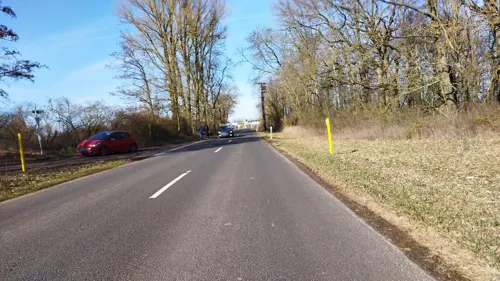



12 more on the map.
Parks, trails and playgrounds14

Alter Main bei Bergrheinfeld und Grafenrheinfeld
Hiking and trails · 6.6 km

Erweiterung des Vogelschutzgebietes Garstadt
Hiking and trails · 6.4 km


Sportboothafen Garstadt
Marina and boat launch · 5.6 km
Sportboothafen des SYWC (Schweinfurter Yacht- und Wassersport Club)




2 more on the map.
Restaurants and cafes43

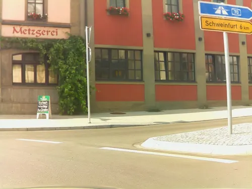
Gasthof Zum Weißen Roß
Restaurant · Regional · 6.4 km
65 Hauptstraße, Bergrheinfeld
Mo 16:00-23:00; Tu-Su 10:00-23:00
Ristorante & Pizzeria Arcobaleno
Restaurant · Pizza · 6.8 km
11 Holderhecke, Bergrheinfeld
Mo-Su 17:00-23:30, Tu-Fr,Su 11:00-14:00

BALTHASAR Café
Cafe
1 Balthasar-Neumann-Platz, Werneck
Mo-Fr 10:00-16:00; PH,Sa,Su 09:00-17:00; May-Sep Mo-Fr...
Weltkind Bistro
Cafe
11 Julius-Echter-Straße, Werneck
Tu, Th 11:00-18:00; We, Fr 11:00-22:00; Sa 10:00-17:00; Su 14:00-17:00

Riedener Wald Ost
Restaurant · 7.0 km
Max. power output: Type2 43kW, CHAdeMO 50kW, CCS 50kW
Riedener Wald Ost / BAB 7, Hausen bei Würzburg
24/7
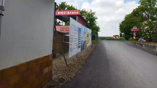
Berger Stuben
Restaurant · Greek · 6.0 km
9 Jahnstraße, Bergrheinfeld
Mo off; Tu-Fr 11:30-14:00,17:00-24:00; Sa 17:00-24:00; Su,PH 09:00-24:00
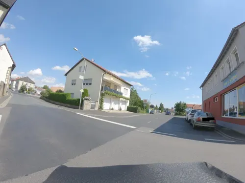
Höreder Beck
Bakery · 2.5 km
17 Hauptstraße, Waigolshausen
Mo - Sa 06:00 - 12:00


31 more on the map.
History
The first written record of Werneck is dated 10 August 1223, as a fief granted by Bodo of Ravensburg, confirmed by the Pope on 9 April 1223. Between 1224 and 1250, possession of the fief was shared between first the Teutonic Knights and later Conrad of Reichenberg and Conrad of Schmiedefeld, until it finally passed to the Bishopric of Würzburg. A fort located there was sacked in the Peasants' War in 1525 and then seized and burnt down by Albert Alcibiades, Margrave of Brandenburg-Kulmbach in 1553. It was rebuilt in 1601 under Prince-Bishop Julius Echter von Mespelbrunn, but was again destroyed by fire in 1723 and merely patched up in 1724.
The current baroque palace, Schloss Werneck, designed by Balthasar Neumann, was built in 1733–45 by Prince Bishop Friedrich Karl von Schönborn. For half a century it was, with Veitshöchheim, a summer residence of the Bishops of Würzburg. On 28 November 1802, the last Prince-Bishop of Würzburg, Georg Karl von Fechenbach, released his vassals there from their oaths of service and recommended them to the new regional overlord, Maximilian, Prince-Elector of Bavaria.
In 1803, following secularisation, Werneck became a Bavarian possession. In 1805 it was transferred to Ferdinand III, Grand Duke of Tuscany as part of the formation of the Grand Duchy of Würzburg. The Treaty of Paris in 1814 returned it to Bavaria.
From the History section of Werneck on Wikipedia, under CC BY-SA 4.0.
Where to stay3
Churches and places of worship28
St. Bartholomäus
Church · Catholic · 7.0 km
5 Sankt-Georgen-Straße, Bergrheinfeld
St. Ottilia
Church · Roman Catholic · 5.9 km
10 Kirchbergstraße, Hausen bei Würzburg
Shopping18
Gas and EV charging8
Schools, colleges and libraries9
Healthcare8
Krankenhaus für Psychiatrie, Psychotherapie und Psychosomatische Medizin Schloss Werneck
Hospital
1 Balthasar-Neumann-Platz, Werneck
Map of Werneck
161 places. The map loads OpenStreetMap tiles when you open it.
Getting there and nearby towns
Sonderlandeplatz Kitzingen (KZG) is the nearest airport with scheduled flights listed in OpenStreetMap, 28 km away.
- Würzburg 23 km southwest, about 23 min by car
- Wertheim 49 km southwest, about 49 min by car
- Tauberbischofsheim 51 km southwest, about 51 min by car
- Lauda-Königshofen 54 km southwest, about 54 min by car
- Bad Mergentheim 59 km southwest, about 59 min by car
- Walldürn 69 km southwest, about 1 h 15 min by car
- Erlangen 78 km southeast, about 1 h 15 min by car
- Künzelsau 83 km south, about 1 h 30 min by car
- Fürth 85 km southeast, about 1 h 30 min by car
- Zirndorf 86 km southeast, about 1 h 30 min by car
Drive times are estimates from straight-line distance, not routes.
Local news
Headlines from INDB.
Reviews, tips and questions
Loading what members have shared...
Sources and licences
- GeoNames (CC BY 4.0): population, coordinates, regions and time zone
- Mapillary (see each image): photos
- OpenStreetMap contributors (ODbL 1.0): places, airports, map data
- Wikidata (CC0 1.0): elevation, founding date, time zone, website
- Wikimedia Commons (see each image): photos
- Wikipedia (CC BY-SA 4.0): overview and history text
Photo credits
- Werneck-Schloss 02, Bbb, CC BY-SA 1.0
- Schloss Werneck, 4, Rainer Lippert, CC BY-SA 4.0
- Werneck, Blick von der Schönbornstraße zum Schloss, Dguendel, CC BY 3.0
- Werneck Markt, Andy king50, CC BY-SA 3.0
- Werneck Tor, Andy king50, CC BY-SA 3.0
- Werneck, der Balthasar-Neumann-Platz, Dguendel, CC BY 3.0
- Werneck, der Graben vor dem Schloss, Dguendel, CC BY 3.0
- Werneck, schmiedeeisernes Tor vor dem Schloss, Dguendel, CC BY 3.0
- Schloss Werneck courtyard 370, Jacquesverlaeken, CC BY-SA 4.0
- Wern Schloss Werneck, Freak-Line-Community, CC BY-SA 4.0
- Werneck, der Brunnen im Schlosshof, Dguendel, CC BY 3.0
- Werneck, Schlosskirche, die Kanzel, Dguendel, CC BY 3.0
- Werneck, Schlosskirche, Nebenaltar, Dguendel, CC BY 3.0
- Werneck, Schlosskirche, der Hauptaltar, Dguendel, CC BY 3.0
- Werneck, Nebengebäude des Schlosses, Dguendel, CC BY 3.0
- Werneck, das Schloss, Dguendel, CC BY 3.0
- Werneck, das Mahnmal gegen Euthanasie, Dguendel, CC BY 3.0
- Weisses Kreuz Werneck11022020, Zonk43, CC BY-SA 3.0
- Werneck, Schlosspark, am Teich, Dguendel, CC BY 3.0
- Schloss Werneck, 5, Rainer Lippert, CC BY-SA 4.0
- Schloss Werneck, 2, Rainer Lippert, CC BY-SA 3.0
- Schloss Werneck, 3, Rainer Lippert, CC BY-SA 3.0
- Werneck, im Schlosspark, Dguendel, CC BY 3.0
- Schloss Werneck, vom Schlosspark aus gesehen, Dguendel, CC BY-SA 3.0
- Schloss Werneck Gesamtanlage, Sigismund von Dobschütz, CC BY-SA 3.0
- Hausen b. Würzburg, Rieden, St. Ottilia, 003, Tilman2007, CC BY-SA 3.0
- Garstadt St. Michael-003, Tilman2007, CC BY 3.0
- Krautmartel Rafeld, Andy king50, CC BY-SA 3.0
- Kirche Theilheim 2016 (02), andy_king50, CC BY-SA 3.0
- Kapelle Eckartshausen 4, Andy_king50, CC BY-SA 3.0
- Kirche Ettleben 2014 3, Andy_king50, CC BY-SA 3.0
- Kirche Rundelshausen 2014 1, Andy_king50, CC BY-SA 3.0
- Werneck, Schnackenwerth, kath. Pfarrkirche-004, Tilman2007, CC BY-SA 3.0
- Kirche Vasbühl 2014 2, Andy_king50, CC BY-SA 3.0
- Werneck, Zeuzleben, Katholische Pfarrkirche St. Bartholomäus, 001, Tilman2007, CC BY-SA 3.0
- Tümpel auf der Westseite des NSG Wernaue bei Ettleben 3, Stephan van Helden, CC BY-SA 4.0
- Kapelle Garstadt 2014 2, Andy_king50, CC BY-SA 3.0
- Zum Guten Hirten Bergrheinfeld 2016 (01), andy_king50, CC BY-SA 3.0
- Blick auf die andere Seite des Alten Mains, Frank Becker, CC BY-SA 4.0
- Vogelschutzgebiet Garstadt 5190731, Ermell, CC BY-SA 4.0
- Im NSG Garstadter Holz 3, Stephan van Helden, CC BY-SA 4.0
- NSG-00329.01 Vogelschutzgebiet Garstadt, Ribka, CC BY-SA 3.0
- Werneck, Schönbornstraße 2, 001, Tilman2007, CC BY-SA 3.0
- Bildstock Jakobusmarter, Michael Bemmerl, CC BY 3.0 de
- Street-level photo, ramap, CC BY-SA 4.0
- Street-level photo, kopra, CC BY-SA 4.0
- Street-level photo, ramap, CC BY-SA 4.0
- Street-level photo, ramap, CC BY-SA 4.0
- Street-level photo, netzplanungmapillary, CC BY-SA 4.0
- Street-level photo, ramap, CC BY-SA 4.0
- Street-level photo, kopra, CC BY-SA 4.0
- Street-level photo, netzplanungmapillary, CC BY-SA 4.0
- Street-level photo, ente, CC BY-SA 4.0
- Street-level photo, nakaner, CC BY-SA 4.0
- Street-level photo, nrailuj, CC BY-SA 4.0
- Street-level photo, kopra, CC BY-SA 4.0
- Street-level photo, nrailuj, CC BY-SA 4.0
- Street-level photo, saschahaberkorn, CC BY-SA 4.0
- Street-level photo, changchun1, CC BY-SA 4.0
- Street-level photo, changchun1, CC BY-SA 4.0
- Street-level photo, AndyKing, CC BY-SA 4.0
- Street-level photo, ente, CC BY-SA 4.0


Page built November 8, 2026. Spotted a mistake? Tell us or suggest a place.