


Why visit Wickede
Townapedia lists 30 museums and landmarks, 20 parks and trails, 32 places to eat, 2 places to stay and 10 attractions in and around town.
Highlights include Hofladen Bauer Korte, Wildwald Vosswinkel, Haus Füchten and Haus Echthausen.
Weather in Wickede
Forecast from MET Norway (CC BY 4.0). Full forecast
About Wickede
Wickede (German pronunciation: [ˈvɪkədə]), officially Wickede (Ruhr), is a municipality in the district of Soest, in North Rhine-Westphalia, Germany. Wickede lists the town of Jemielnica in Poland as its twin city and enjoys the cultural exchange and relationship.
From the Wikipedia article Wickede (this version), under CC BY-SA 4.0.
Things to do10

Hofladen Bauer Korte
Farm and orchard · 4.3 km
44a Dentern, Menden (Sauerland)
Mo-Fr 09:00-12:30, Tu-Fr 15:00-18:30, Sa 09:00-13:00


Hofladen für Eierprodukte
Farm and orchard · 2.2 km
Eier , Kartoffeln, Honig u. Eierlikör
24/7
Museums and landmarks30


Haus Echthausen
Monument and historic site · 1.9 km
87 Ruhrstraße, Wickede (Ruhr)

Rittergut Schafhausen
Monument and historic site · 3.4 km
28 Schafhauser Weg, Wickede (Ruhr)

Schloss Höllinghofen
Monument and historic site · 3.7 km
1 Höllinghofen, Arnsberg
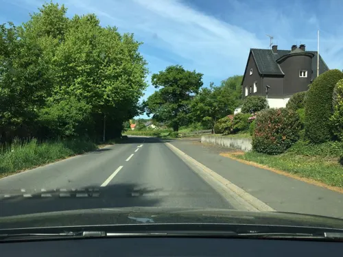


Hofstelle Nadermann
Monument and historic site · 2.8 km
17 Wiesenstraße, Wickede (Ruhr)
Möhne-Gedenkstätte
Monument and historic site · 0.9 km
1943 - Den Toten zur Ehre, den Lebenden zur Mahnung
Wohnhaus Schröder
Monument and historic site · 2.4 km
2 Arnsberger Straße, Wickede (Ruhr)
18 more on the map.
Parks, trails and playgrounds20






8 more on the map.
Restaurants and cafes32
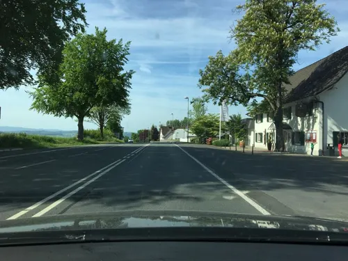
Haus Gerbens
Restaurant · International · 1.5 km
Tu-Fr 12:00-14:00,18:00-22:00, Sa 18:00-22:00, Su 17:30-20:30

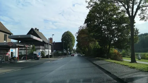

Waldgasthaus
Restaurant · Regional · 4.5 km
5 Bellingsen, Arnsberg
Mo-Su,PH 09:00-17:00, Tu-Su,PH 12:00-17:00
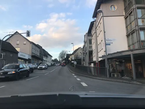
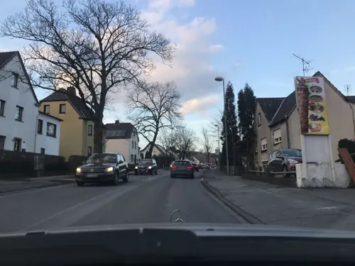
Akropolis-Grill Wickede (Ruhr)
Restaurant · Greek
87 Hauptstraße, Wickede (Ruhr)
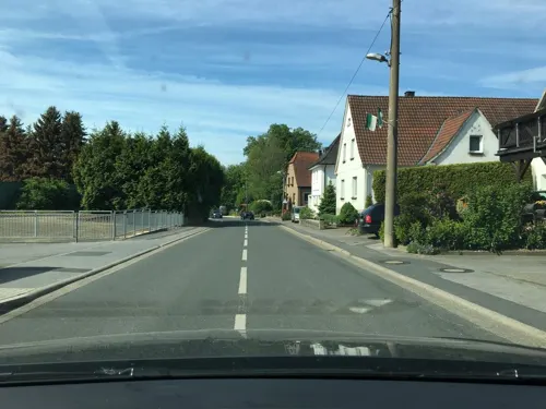
Astare Grill Pizzeria
Restaurant · Pizza
64 Hauptstraße, Wickede (Ruhr)
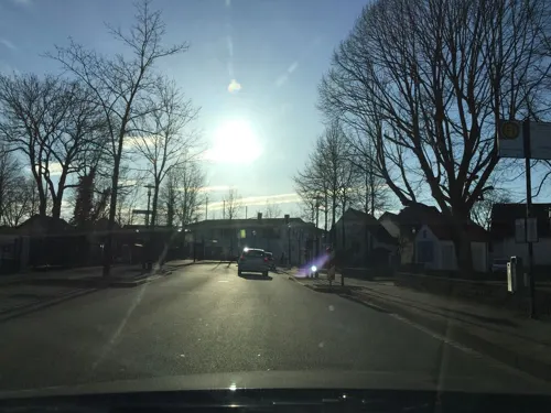
Bäckerei Konditorei Jens Klein
Bakery · 3.5 km
43 Landstraße, Fröndenberg/Ruhr


20 more on the map.
Where to stay2
Churches and places of worship16
St. Urbanus
Church · Catholic · 4.5 km
11 Voßwinkeler Straße, Arnsberg
Shopping6
Gas and EV charging6
Freie Tankstelle Kree-Lange
Gas station · 1.7 km
14 Otto-Hahn-Straße, Wickede (Ruhr)
Schools, colleges and libraries6
Healthcare2
Map of Wickede
130 places. The map loads OpenStreetMap tiles when you open it.
Getting there and nearby towns
Dortmund Airport (DTM) is the nearest airport with scheduled flights listed in OpenStreetMap, 18 km away.
- Wickede 18 km west, about 18 min by car
- Hamm 21 km north, about 21 min by car
- Dortmund 28 km west, about 28 min by car
- Hagen 31 km southwest, about 31 min by car
- Witten 36 km west, about 36 min by car
- Bochum 45 km west, about 45 min by car
- Herne 45 km west, about 45 min by car
- Recklinghausen 48 km west, about 48 min by car
- Gelsenkirchen 53 km west, about 53 min by car
- Münster 54 km north, about 54 min by car
Drive times are estimates from straight-line distance, not routes.
Local news
Headlines from INDB.
Reviews, tips and questions
Loading what members have shared...
Sources and licences
- GeoNames (CC BY 4.0): population, coordinates, regions and time zone
- Mapillary (see each image): photos
- OpenStreetMap contributors (ODbL 1.0): places, airports, map data
- Wikidata (CC0 1.0): elevation, founding date, time zone, website, landmarks and historic places
- Wikimedia Commons (see each image): photos
- Wikipedia (CC BY-SA 4.0): overview and history text
Photo credits
- Echthausen-Dorfplatz1-Asio, Asio otus, CC BY-SA 3.0
- Wickede (Ruhr)-8353, Wuselig, CC BY-SA 4.0
- Naturdenkmal Eiche und Buche im Kreis Soest in Wickede auf dem Parkplatz Kirchstraße u. Christian-Liebrecht Straße 2, Matthias Böhm, CC BY-SA 3.0
- Naturdenkmal Eiche und Buche im Kreis Soest in Wickede auf dem Parkplatz Kirchstraße u. Christian-Liebrecht Straße 1, Matthias Böhm, CC BY-SA 3.0
- Wickede chapel at St Antonius, Arnoldius, CC BY-SA 4.0
- Wickede Melanchthon school, Arnoldius, CC BY-SA 4.0
- Wickede St Antonius of Padua tower, Arnoldius, CC BY-SA 4.0
- Wickede-katholischer-friedhof-und-kirche, Pimvantend, CC BY-SA 3.0
- Wickede skulptur by Enrique Asensi, Arnoldius, CC BY-SA 4.0
- Wickede fountain stone, Arnoldius, CC BY-SA 4.0
- Wickede (Ruhr)-8358, Wuselig, CC BY-SA 4.0
- Wickede (Ruhr)-8357, Wuselig, CC BY-SA 4.0
- Wickede chimes, Arnoldius, CC BY-SA 4.0
- Wickede memorial to the dead, Arnoldius, CC BY-SA 4.0
- Wickede (Ruhr)-8326, Wuselig, CC BY-SA 4.0
- Wickede (Ruhr)-8325, Wuselig, CC BY-SA 4.0
- Wickede (Ruhr)-8324, Wuselig, CC BY-SA 4.0
- Wickede glassblowing monument, Arnoldius, CC BY-SA 4.0
- Wickede (Ruhr)-8356, Wuselig, CC BY-SA 4.0
- Wickede goose fountain, Arnoldius, CC BY-SA 4.0
- Wickede (Ruhr)-8355, Wuselig, CC BY-SA 4.0
- Wickede cities partnership sculptur, Arnoldius, CC BY-SA 4.0
- Bahnhof Wickede 120907, Clic, CC BY-SA 4.0
- Wickede Ruhr Bahnhof 70 20220710 1339, Karlunun, CC BY-SA 4.0
- Wickede (Ruhr)-8329, Wuselig, CC BY-SA 4.0
- Wickede (Ruhr)-8327, Wuselig, CC BY-SA 4.0
- Wickede (Ruhr)-8330, Wuselig, CC BY-SA 4.0
- Wickede Protestant Church, Arnoldius, CC BY-SA 4.0
- Wickede-bahnhof, Pimvantend, CC BY-SA 3.0
- Bahnhof Wickede 2024, Tohma ( talk ), CC BY-SA 4.0
- Wickede (Ruhr)-8332, Wuselig, CC BY-SA 4.0
- Wickede (Ruhr)-8333, Wuselig, CC BY-SA 4.0
- Wickeder-westfalenstahl, Pimvantend, CC BY-SA 3.0
- Wickede train station, Arnoldius, CC BY-SA 4.0
- Wickeder Westfalenstahl, Arnoldius, CC BY-SA 4.0
- Wickede (Ruhr)-8334, Wuselig, CC BY-SA 4.0
- Germany Rail 064 Wickede, Brooksbank, CC BY-SA 4.0
- Wickede (Ruhr)-8335, Wuselig, CC BY-SA 4.0
- Werl Basilika Westportal IMGP7135, Smial, CC BY-SA 2.0 de
- Alte Wallfahrtskirche Werl 20220609 0260, Tilman2007, CC BY-SA 4.0
- Urbanuskirche 01 Vosswinkel, Calluna, Public domain
- Wickede (Ruhr) Kloster Scheda FFSN-1159, Petra Klawikowski, CC BY-SA 3.0
- Haus echthausen imgp8723, Smial, CC BY-SA 2.0 de
- Ense Haus Füchten FFSN-6472, Petra Klawikowski, CC BY-SA 3.0
- Wickede-HausSchafhausen2-Bubo, Bubo, CC BY-SA 3.0
- Arnsberg Schloss Höllinghofen FFSW-1075, Michael Kramer, CC BY-SA 3.0
- Benediktus-Kapelle Hoellinghofen, Calluna, Public domain
- Kirche, Ostseite, JörgHSK, CC BY-SA 4.0
- Menden-StJohannesBaptist1-Bubo, Bubo, CC BY-SA 3.0
- NSG UN-042 Obergraben westlich Wickede (1), Lotte76, CC BY-SA 4.0
- P4280126Wickede Ruhrwehr, Arnoldius, CC BY-SA 4.0
- Arnsberg-Voßwinkel FFSN-5293, Petra Klawikowski, CC BY-SA 3.0
- Wildwald Vosswinkel - 2008-07-15 (2672526272), Axel Schwenke from Meschede, Deutschland, CC BY-SA 2.0
- Street-level photo, heetENkoel, CC BY-SA 4.0
- Street-level photo, cuspis, CC BY-SA 4.0
- Street-level photo, cuspis, CC BY-SA 4.0
- Street-level photo, saschahaberkorn, CC BY-SA 4.0
- Street-level photo, saschahaberkorn, CC BY-SA 4.0
- Street-level photo, heetENkoel, CC BY-SA 4.0
- Street-level photo, heetENkoel, CC BY-SA 4.0
- Street-level photo, toho, CC BY-SA 4.0
- Street-level photo, TillSiter, CC BY-SA 4.0
- Street-level photo, cuspis, CC BY-SA 4.0


Page built November 8, 2026. Spotted a mistake? Tell us or suggest a place.