


Why visit Hambühren
Townapedia lists 22 museums and landmarks, 15 parks and trails, 51 places to eat, 9 places to stay and 5 attractions in and around town.
Highlights include Schlosstheater Celle, Hahnenberg, Circular rampart of Burg and Winsen Museum Farm.
Weather in Hambühren
Forecast from MET Norway (CC BY 4.0). Full forecast
About Hambühren
Hambühren (German pronunciation: [hamˈbyːʁən]) is a municipality in the district of Celle, in Lower Saxony, Germany. It is situated approximately 7 km (4.3 mi) west of Celle.
From the Wikipedia article Hambühren (this version), under CC BY-SA 4.0.
Things to do5

Schlosstheater Celle
Cinema and theater · 7.2 km
Theatre in Celle Castle, Celle, Lower Saxony, Germany


Museums and landmarks22

Circular rampart of Burg
Monument and historic site · 9.5 km
Defensive work in Germany





10 more on the map.
Parks, trails and playgrounds15



Allerniederung bei Klein Hehlen und Celle
Hiking and trails · 6.2 km



3 more on the map.
Restaurants and cafes51

Gasthaus zur Riete
Restaurant · Breakfast, Regional · 6.3 km
1 Riete, Celle
We-Th 09:00-11:00, 17:00-21:00; Fr-Su 09:00-12:00, 17:00-21:00
Mediterrano
Restaurant · German, Greek, Italian · 4.0 km
10 Winsener Straße
Sa,Su,PH 12:00-14:30, Tu-Th,Su,PH 17:30-22:00, Fr,Sa 17:30-22:30
Syrtaki
Restaurant · Greek, Mediterranean · 6.5 km
43 Celler Straße, Celle
Mo-Tu, Th-Sa 17:00-23:00; Su 12:00-14:30, 17:00-23:00
Achenbach Weingut
Brewery and winery · 4.8 km
181 Fuhrberger Straße, Celle
Fr 14:00-19:00; Sa 09:00-14:00; PH off
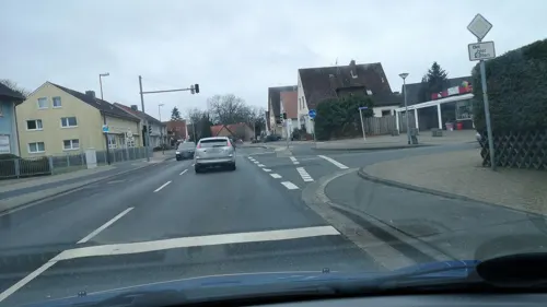
Eis Café Dal Cin Wietzenbruch
Ice cream · 4.3 km
1 Distelkamp, Celle
Feb-Oct: Mo-Su 12:00-20:30; Feb-Oct: We off
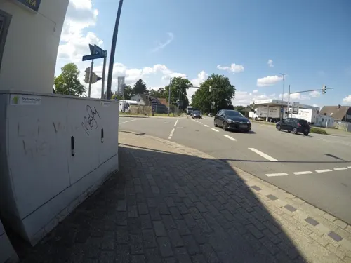
Mai Thai
Restaurant · Thai · 5.9 km
169 Bremer Weg, Celle
Tu-Su 11:30-15:00,18:00-23:00
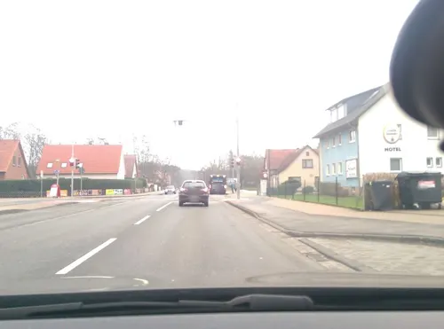
Fadi´s Kebab
Restaurant · Turkish · 4.3 km
Mo-Th 11:30-22:00; Fr-Sa 11:30-23:00; Su 13:00-21:00
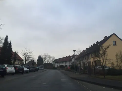


Kiess & Krause
Bakery · 5.5 km
11A Marienwerderallee, Celle
Mo-Fr 06:30-18:00; Sa 07:00-15:00; Su 08:00-17:00

39 more on the map.
History
From the summer of 1944 to February 1945, a satellite camp of Bergen-Belsen concentration camp was in operation at Hambühren. Guarded by SS staff, around 400 female prisoners were forced to expand the former potash mine and to lay train tracks to it, work carried out by the company Hochtief. The tunnels were intended as an underground production site for Bremen plane manufacturer Focke-Wulf.
From the History section of Hambühren on Wikipedia, under CC BY-SA 4.0.
Where to stay9
Stellplatz am Strandbad Ovelgönne - 7 Stellpl., kostenlos
Campground · 3.0 km
5 Am Strandbad
Churches and places of worship18
Shopping23
Gas and EV charging9
Schools, colleges and libraries20
Healthcare6
Map of Hambühren
178 places. The map loads OpenStreetMap tiles when you open it.
Getting there and nearby towns
Hannover Airport (HAJ) is the nearest airport with scheduled flights listed in OpenStreetMap, 27 km away.
- Hannover 33 km southwest, about 33 min by car
- Wendeburg 44 km southeast, about 44 min by car
- Visselhövede 48 km northwest, about 48 min by car
- Hildesheim 53 km south, about 53 min by car
- Braunschweig 55 km southeast, about 55 min by car
- Rehburg-Loccum 55 km west, about 55 min by car
- Kirchlinteln 56 km northwest, about 56 min by car
- Wolfsburg 59 km southeast, about 59 min by car
- Salzgitter 61 km southeast, about 1 h by car
- Salzhemmendorf 68 km southwest, about 1 h 15 min by car
Drive times are estimates from straight-line distance, not routes.
Local news
Headlines from INDB.
Reviews, tips and questions
Loading what members have shared...
Sources and licences
- GeoNames (CC BY 4.0): population, coordinates, regions and time zone
- Mapillary (see each image): photos
- OpenStreetMap contributors (ODbL 1.0): places, airports, map data
- Wikidata (CC0 1.0): elevation, founding date, time zone, website, landmarks and historic places
- Wikimedia Commons (see each image): photos
- Wikipedia (CC BY-SA 4.0): overview and history text
Photo credits
- Gedenkstein Hambühren IMG 3960, losch, CC BY-SA 3.0
- Hambühren 20180723 090621 (ubt), Tomasz Sienicki [user: tsca , mail: tomasz.sienicki at gmail.com], CC BY 4.0
- Auferstehungskirche Hambühren IMG 3963, losch, CC BY-SA 3.0
- Auferstehungskirche Hambühren IMG 3966, losch, CC BY-SA 3.0
- Auferstehungskirche Hambühren IMG 3967, losch, CC BY-SA 3.0
- Auferstehungskirche Hambühren IMG 3961, losch, CC BY-SA 3.0
- Auferstehungskirche Hambühren IMG 3964, losch, CC BY-SA 3.0
- Auferstehungskirche Hambühren IMG 3962, losch, CC BY-SA 3.0
- Pfarrkirche Hambühren IMG 3968, losch, CC BY-SA 3.0
- Pfarrkirche Hambühren IMG 3969, losch, CC BY-SA 3.0
- Pfarrkirche Hambühren IMG 3971, losch, CC BY-SA 3.0
- Pfarrkirche Hambühren IMG 3970, losch, CC BY-SA 3.0
- Pfarrkirche Hambühren IMG 3972, losch, CC BY-SA 3.0
- Ortsblick Hambühren IMG 3958, losch, CC BY-SA 3.0
- Düker Hambühren IMG 3953, losch, CC BY-SA 3.0
- Düker Hambühren IMG 3954, losch, CC BY-SA 3.0
- Hambühren Fuhsekanalbrücke, Hajotthu, CC BY-SA 3.0
- Hambühren Fuhsekanal 02, Hajotthu, CC BY-SA 3.0
- Celle Schlosstheater 01, Hajotthu, CC BY 3.0
- Ringwall von Burg Mauer, Benutzer:AxelHH, Public domain
- Winsenmuseum Brunnen, Benutzer:AxelHH, Public domain
- Aerial image of French Garden in Celle (view from the southeast), Carsten Steger, CC BY-SA 4.0
- MKr14222 Ludwigs-Kirche (Celle), Martin Kraft, CC BY-SA 4.0
- 2023-08-11 Hunt Bottrop 01, Bärbel Miemietz, CC BY-SA 4.0
- Landesfeuerwehrschule Celle IMG 5335, losch, Attribution
- Sandtrockenrasen und Sumpfgelände bei Boye 7594, NobbiP, CC BY-SA 3.0
- Celle Neustädter Kirche 2896, NobbiP, CC BY-SA 3.0
- St. Cyriacus-Kirche Groß Hehlen (Celle) IMG 5728, losch, Attribution
- Bonifatiuskirche Celle-Klein Hehlen IMG 5710, losch, Attribution
- Karte Allerniederung bei Klein Hehlen und Celle, Hajotthu at de.wikipedia, CC BY-SA 3.0
- Luftbrueckendenkmal Celle, It wasn't me at German Wikipedia ( Original text: ( It wasn't me ) ), Public domain
- Stolperstein Celle Birkenstr 19 Paul Hartmann 7569, NobbiP, CC BY-SA 3.0
- Hambuehren Kirche Schutzengel neu, Kirchenfan, CC0
- Celle Kirche Hedwig 1, Kirchenfan, CC0
- Spurnagelhunt links, Photograph: wdwd, CC BY-SA 4.0
- HBG Celle 0669, NobbiP, CC BY-SA 3.0
- Street-level photo, hotteliene, CC BY-SA 4.0
- Street-level photo, mfa, CC BY-SA 4.0
- Street-level photo, hotteliene, CC BY-SA 4.0
- Street-level photo, live, CC BY-SA 4.0
- Street-level photo, hotteliene, CC BY-SA 4.0
- Street-level photo, hotteliene, CC BY-SA 4.0
- Street-level photo, hotteliene, CC BY-SA 4.0
- Street-level photo, Langfahrer, CC BY-SA 4.0
- Street-level photo, cageythree, CC BY-SA 4.0
- Street-level photo, thomersch, CC BY-SA 4.0
- Street-level photo, mfa, CC BY-SA 4.0
- Street-level photo, thomersch, CC BY-SA 4.0
- Street-level photo, hotteliene, CC BY-SA 4.0
- Street-level photo, Hightower-, CC BY-SA 4.0
- Street-level photo, hotteliene, CC BY-SA 4.0
- Street-level photo, hotteliene, CC BY-SA 4.0
- Street-level photo, live, CC BY-SA 4.0
- Street-level photo, hotteliene, CC BY-SA 4.0
- Street-level photo, thomersch, CC BY-SA 4.0
- Street-level photo, cageythree, CC BY-SA 4.0
- Street-level photo, thomersch, CC BY-SA 4.0
- Street-level photo, mfa, CC BY-SA 4.0
- Street-level photo, thomersch, CC BY-SA 4.0


Page built November 8, 2026. Spotted a mistake? Tell us or suggest a place.