


Why visit Arundel
Townapedia lists 11 museums and landmarks, 14 parks and trails, 51 places to eat, 11 places to stay and 3 attractions in and around town.
Highlights include Climping Beach, Harbour Park, Arundel Castle and Arundel Museum & Heritage Centre.
Weather in Arundel
Forecast from MET Norway (CC BY 4.0). Full forecast
About Arundel
Arundel is a market town and civil parish in the Arun District of the South Downs, West Sussex, England.
From the Wikipedia article Arundel (this version), under CC BY-SA 4.0.
Travel tips from other travellers: Arundel on Wikivoyage (CC BY-SA 4.0).
Photos of Arundel


Things to do3


Harbour Park
Monument and historic site · 3.6 mi
Amusement park in England
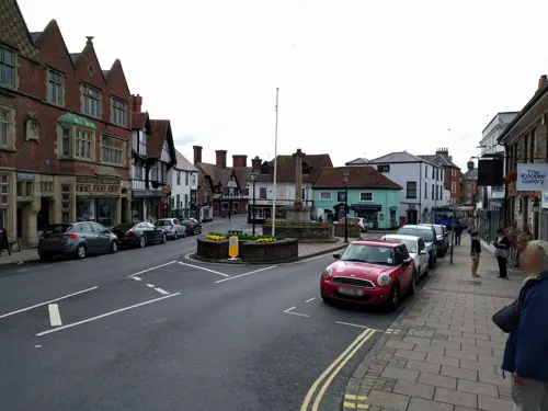
Museums and landmarks11


Amberley Museum
Museum · 3.1 mi
Open-air industrial museum in West Sussex, United Kingdom
Arundel Museum
Museum
Local museum in Arundel, England, United Kingdom



Duff Gallery
Museum
Established in 1968 by Derek Davis, the Internationally renowned potter & painter. The Gallery exhibits Ceramics by Josse Davis & other...
Seasonal
Parks, trails and playgrounds14



Arundel Park
Park · 1.4 mi
Biological Site of Special Scientific Interest north of Arundel in West Sussex



2 more on the map.
Restaurants and cafes51
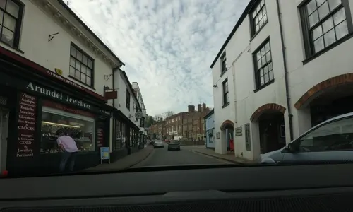
The Burger Shop
Restaurant · Burger
14-16 High Street, Arundel
Mo-Th 12:00-21:00; Fr,Sa 12:00-22:00; Su 12:00-20:00
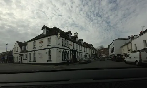
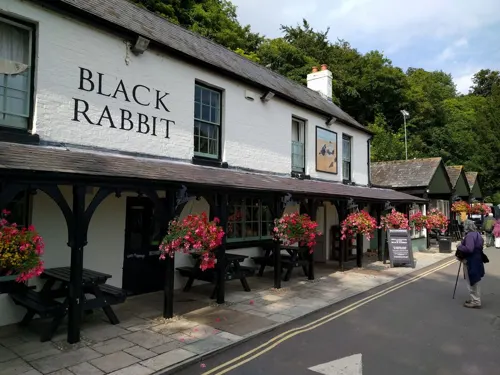

The Locomotive
Bar and pub · 2.1 mi
74 Lyminster Road, Littlehampton
Mo-Th 12:00-23:00; Fr,Sa 12:00-00:00; Su 12:00-22:00

39 more on the map.
More about Arundel
Geography
Arundel civil parish occupies an area somewhat larger than its built-up clusters, with the old town towards the north and the new to the south, separated by a main road.
Arundel town is a major bridging point over the River Arun as it was the lowest road bridge until the opening of the Littlehampton swing bridge in 1908. Arundel Castle was built by the Normans to protect that vulnerable fairly wooded plain to the north of the valley through the South Downs. The town later grew up on the slope below the castle to the south. The river was previously called the Tarrant and was renamed after the town by antiquarians in a back-formation.
Arundel includes meadows to the south but is clustered north of the A27 road, which narrowly avoids the town centre by a short and congested single carriageway bypass. Plans for a more extensive, high-quality dual carriageway bypass were debated intensely between 1980 and 2010 and a junction was built for it at Crossbush. In 2018 Highways England published their preferred route for the new bypass. During 2018–19 there was a further period of consultation when views on a more detailed design for the four-mile (six-kilometre) dual carriageway were sought.
From the Wikipedia article Arundel, under CC BY-SA 4.0.
Notable people from Arundel
 William FitzAlan, 18th Earl of ArundelEnglish EarlPhoto: Rs-nourse, CC BY-SA 3.0
 William d'Aubigny, 3rd Earl of ArundelEnglish Earl of Arundel (died 1221)Photo: Rs-nourse, CC BY-SA 4.0
 Thomas FitzAlan, 17th Earl of ArundelEnglish noblePhoto: Rs-nourse, CC BY-SA 3.0
- Judy GeesonEnglish actress
- Henry FitzAlan, 12th Earl of ArundelChancellor of the University of Oxford; English earl (1512-1580)
- William FitzAlan, 16th Earl of ArundelEnglish Earl
- John, 3rd Earl of KentBritish Earl
- Kenneth Howard, 1st Earl of EffinghamBritish general
- Alice FitzAlanBritish noble
- Humphrey FitzAlan, 15th Earl of ArundelEnglish noble
- William MitchellEnglish cricketer, born 1859 (1859–1929)
- Michael DavisBritish rower
Born in Arundel, according to Wikidata (CC0). Each name links to its Wikipedia article.
Where to stay11
Maynards Caravan & Camping Park
Campground · 0.9 mi
Lyminster Road, Crossbush, Gloucestershire
Churches and places of worship21
Our Lady and Saint Philip Howard (Arundel Cathedral)
Church · Catholic
Shopping18
Gas and EV charging1
Schools, colleges and libraries3
Healthcare2
Map of Arundel
135 places. The map loads OpenStreetMap tiles when you open it.
Getting there and nearby towns
Goodwood Aerodrome (QUG) is the nearest airport with scheduled flights listed in OpenStreetMap, 9 miles away.
- Littlehampton 3 mi south, about 5 min by car
- Walberton 3 mi west, about 5 min by car
- Rustington 4 mi southeast, about 6 min by car
- Barnham 4 mi southwest, about 6 min by car
- Fontwell 4 mi west, about 7 min by car
- Findon 6 mi east, about 10 min by car
- Goring-by-Sea 6 mi southeast, about 10 min by car
- Bognor Regis 7 mi southwest, about 12 min by car
- Boxgrove 7 mi west, about 11 min by car
- Worthing 8 mi east, about 13 min by car
Drive times are estimates from straight-line distance, not routes.
Towns near Arundel


Keep exploring
Local news
Headlines from INDB.
Reviews, tips and questions
Loading what members have shared...
Sources and licences
- GeoNames (CC BY 4.0): population, coordinates, regions and time zone
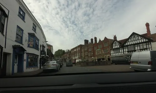
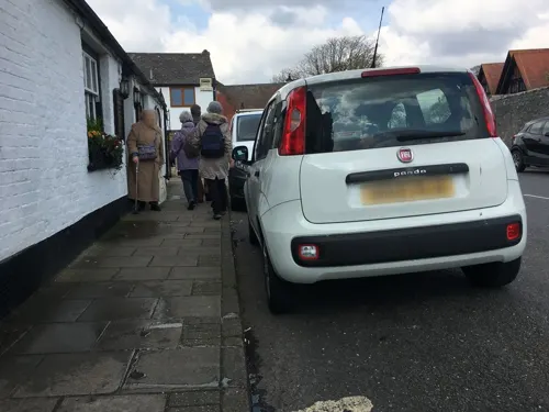
- Mapillary (see each image): photos
- OpenStreetMap contributors (ODbL 1.0): places, airports, map data
- Wikidata (CC0 1.0): elevation, founding date, time zone, website, landmarks and historic places
- Wikimedia Commons (see each image): photos
- Wikipedia (CC BY-SA 4.0): overview and history text
Photo credits
- Bagels and Coffee, Arundel, Tim Sheerman-Chase, CC BY 4.0
- Cockburn's Tea Rooms, Red Lion, Arundel, Tim Sheerman-Chase, CC BY 4.0
- 14-20 High Street, Arundel, Tim Sheerman-Chase, CC BY 4.0
- West Beach Nature Reserve, Littlehampton 08, Simon Burchell, CC BY-SA 4.0
- Formula one circuit ride at Harbour Park Littlehampton, Technonath, CC0
- Winter at Mewsbrook Park, Jimmybobby1985, CC BY-SA 4.0
- Fitzalan Chapel, Bigup sim, CC BY-SA 3.0
- Angmering Baptist Church, Angmering, The Voice of Hassocks, CC0
- Arundel, Arundel Cathedral Arun 1248090 20230815 0201, Tilman2007, CC BY-SA 4.0
- Bailiffscourt Chapel, Atherington (NHLE Code 1233450), The Voice of Hassocks, CC0
- St Nicholas' Church, London Road, Arundel (NHLE Code 1027914) (April 2011) (5), User:Hassocks5489, CC0
- St Catherine's RC Church, Littlehampton (NHLE Code 1027807), The Voice of Hassocks, CC0
- Arundel Museum, James brigden, CC BY-SA 3.0
- St Mary Magdalene's Church, Tortington (NHLE Code 1222209), The Voice of Hassocks, CC0
- Arundel Castle 7, Tim Sheerman-Chase, CC BY 4.0
- Cathedral of Our Lady and St Philip Howard, Arundel (NHLE Code 1248090), The Voice of Hassocks, CC0
- Church of St. Mary Magdalene, Lyminster 02, Simon Burchell, CC BY-SA 4.0
- St Nicholas' Church, Arundel (NHLE Code 1027914), The Voice of Hassocks, CC0
- 1 castle arundel aerial pano 2017, Chensiyuan, CC BY-SA 4.0
- Arundel Cathedral Exterior, West Sussex, UK - Diliff, Diliff, CC BY-SA 3.0
- Mitsubishi Shogun Pinin GDI Elegance (2006) (54527371002), Charles from Port Chester, New York, CC BY 2.0
- Amberley Museum (26417061830), Peter Trimming from Croydon, England, CC BY 2.0
- Bridge Gates and Blackfriars, Arundel Castle, Tim Sheerman-Chase, CC BY 4.0
- Cygnus olor WWT Arundel, Peter Trimming, CC BY 2.0
- Street-level photo, tallguy, CC BY-SA 4.0
- Street-level photo, tallguy, CC BY-SA 4.0
- Street-level photo, chris_debian, CC BY-SA 4.0
- Street-level photo, tallguy, CC BY-SA 4.0
- Street-level photo, janvanbekkum, CC BY-SA 4.0
- Street-level photo, tallguy, CC BY-SA 4.0
- Street-level photo, gness, CC BY-SA 4.0
- Street-level photo, southglos, CC BY-SA 4.0
- Street-level photo, southglos, CC BY-SA 4.0
- Street-level photo, gness, CC BY-SA 4.0
- Street-level photo, tallguy, CC BY-SA 4.0
- Street-level photo, tallguy, CC BY-SA 4.0
- Street-level photo, andreste96, CC BY-SA 4.0
- Street-level photo, janvanbekkum, CC BY-SA 4.0
- Street-level photo, janvanbekkum, CC BY-SA 4.0


Page built November 10, 2026. Spotted a mistake? Tell us or suggest a place.