


Walberton, United Kingdom
Walberton is a town of 1,778 people in England, United Kingdom.
Why visit Walberton
Townapedia lists 5 museums and landmarks, 10 parks and trails, 31 places to eat, 6 places to stay and 1 attraction in and around town.
Highlights include Arundel Museum, The Brooks Local Nature Reserve and WWT Arundel.
Weather in Walberton
Forecast from MET Norway (CC BY 4.0). Full forecast
About Walberton
Walberton is a village and civil parish in the Arun District of West Sussex, England, 5 miles (8 km) north-west of Littlehampton, and south of the A27 road. The land rises from 33–115 feet (10–35 m) above sea level, a quarter of the height of Nore Hill, the nearest foothill of the South Downs, which is to the north of the parish. The parish includes the smaller village of Binsted to the east and the larger neighbourhood of Fontwell, less than two-thirds of a mile (1 km) to the north-west. Walberton has a medieval church next to its clustered centre.
From the Wikipedia article Walberton (this version), under CC BY-SA 4.0.
Things to do1

Museums and landmarks5

Arundel Museum
Museum · 2.9 mi
Local museum in Arundel, England, United Kingdom


Parks, trails and playgrounds10



Arundel Park
Park · 3.1 mi
Biological Site of Special Scientific Interest north of Arundel in West Sussex


Restaurants and cafes31
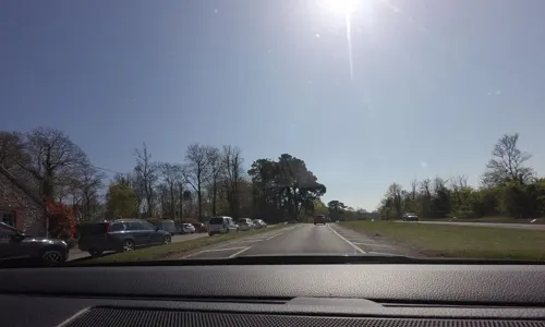
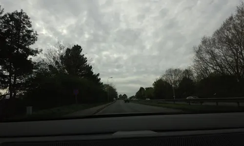
The Old Stables
Bar and pub · 1.6 mi
Fontwell Avenue, Fontwell
Mo-Th 11:30-22:00; Fr 11:30-22:30; Sa 09:00-22:30; Su 09:00-22:00
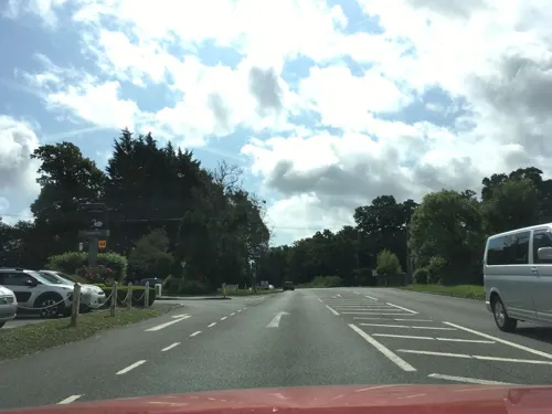



The Edge (Edgcumbes Coffee Roasters & Tea Merchants)
Cafe · Coffee Shop · 1.8 mi
Ford Lane, Arundel
Mo-Su 09:00-16:00
Willow Tea Rooms
Cafe · British, Cafe, Cake · 1.3 mi
Unit 2 Yapton Road, Barnham
Tu-Sa 09:30-15:30; Su 10:00-15:00

The Murrell Arms
Bar and pub · 1.3 mi
Yapton Road, Bognor Regis
Mo-Th 12:00-22:00; Fr-Sa 12:00-23:00; Su 12:00-22:30
The Forge
Cafe · Coffee Shop, Sandwich · 1.3 mi
Reynolds Lane, Slindon
Mo-Su 09:00-16:00
Interchange Cafe
Cafe · 1.3 mi
Barnham Road, Barnham, Bognor Regis
Mo-Su 08:00-18:00
19 more on the map.
History
The two churchyards have yielded archaeological evidence that there was settlement during the Bronze Age, about 3,500 years ago. Some fragments of brick and tile were discovered at Binsted during excavations in 1992.
Walberton is listed in the Domesday Book of 1086 under the Hundred of Binsted (also called Avisford; called Binsted in 1086 but had its later name by 1166). It comprised 22 villagers, 17 cottagers and six slaves, plough land, woodland and meadows, as well as a church. Binsted itself was also listed as having 8 households.
The timber lychgate to the churchyard was installed as a war memorial in 1920.
From the History section of Walberton on Wikipedia, under CC BY-SA 4.0.
Notable people from Walberton
- Sir William Anson, 3rd BaronetBritish politician (1843-1914)
- William BarberEnglish cricketer (1734-1805)
- John Standing(born 1943)
Born in Walberton, according to Wikidata (CC0). Each name links to its Wikipedia article.
Where to stay6
Churches and places of worship20
Shopping6
Gas and EV charging3
Schools, colleges and libraries10
Healthcare4
Five Villages Pharmacy
Clinic and pharmacy · 1.3 mi
49 Barnham Road, Bognor Regis
Map of Walberton
96 places. The map loads OpenStreetMap tiles when you open it.
Getting there and nearby towns
Goodwood Aerodrome (QUG) is the nearest airport with scheduled flights listed in OpenStreetMap, 6 miles away.
- Barnham 1 mi southwest, about 2 min by car
- Littlehampton 4 mi southeast, about 7 min by car
- Bognor Regis 5 mi southwest, about 8 min by car
- Rustington 5 mi southeast, about 9 min by car
- Chichester 7 mi west, about 11 min by car
- Goring-by-Sea 9 mi east, about 14 min by car
- Worthing 11 mi east, about 17 min by car
- Selsey 11 mi southwest, about 17 min by car
- Lancing 13 mi east, about 21 min by car
- Emsworth 14 mi west, about 22 min by car
Drive times are estimates from straight-line distance, not routes.
Towns near Walberton


Keep exploring
Local news
Headlines from INDB.
Reviews, tips and questions
Loading what members have shared...
Sources and licences
- GeoNames (CC BY 4.0): population, coordinates, regions and time zone
- Mapillary (see each image): photos
- OpenStreetMap contributors (ODbL 1.0): places, airports, map data
- Wikidata (CC0 1.0): elevation, founding date, time zone, website, landmarks and historic places
- Wikimedia Commons (see each image): photos
- Wikipedia (CC BY-SA 4.0): overview and history text
Photo credits
- Arundel Museum, James brigden, CC BY-SA 3.0
- The Brooks Local Nature Reserve (6), Dudley Miles, CC BY-SA 4.0
- St George's Church, Eastergate (From Southeast), The Voice of Hassocks, CC0
- Arundel, Arundel Cathedral Arun 1248090 20230815 0201, Tilman2007, CC BY-SA 4.0
- Bailiffscourt Chapel, Atherington (NHLE Code 1233450), The Voice of Hassocks, CC0
- Former Bilsham Chapel, Bilsham (NHLE Code 1222544), The Voice of Hassocks, CC0
- St Nicholas' Church, London Road, Arundel (NHLE Code 1027914) (April 2011) (5), User:Hassocks5489, CC0
- Fitzalan Chapel, Bigup sim, CC BY-SA 3.0
- St Mary's Church, Walberton (NHLE Code 1274629), The Voice of Hassocks, CC0
- Former Trinity Congregational Chapel (now Nineveh House), Arundel (NHLE Code 1277924), The Voice of Hassocks, CC0
- St Mary Magdalene's Church, Tortington (NHLE Code 1222209), The Voice of Hassocks, CC0
- St Mary's Church, Slindon (NHLE Code 1027563), The Voice of Hassocks, CC0
- St Mary the Virgin Church, Barnham (NHLE Code 1027690), The Voice of Hassocks, CC0
- Wilkes Head Inn, Church Lane, Eastergate (NHLE Code 1276546) (April 2025) (2), User:Hassocks5489, CC0
- Cygnus olor WWT Arundel, Peter Trimming, CC BY 2.0
- Street-level photo, tallguy, CC BY-SA 4.0
- Street-level photo, tallguy, CC BY-SA 4.0
- Street-level photo, tallguy, CC BY-SA 4.0
- Street-level photo, tallguy, CC BY-SA 4.0
- Street-level photo, southglos, CC BY-SA 4.0


Page built November 10, 2026. Spotted a mistake? Tell us or suggest a place.