


Why visit Dunbar
Townapedia lists 22 museums and landmarks, 19 parks and trails, 28 places to eat, 11 places to stay and 1 attraction in and around town.
Highlights include Barns Ness Lighthouse, Dunbar Town House Museum and Gallery, John Muir Birthplace and John Muir Country Park.
Weather in Dunbar
Forecast from MET Norway (CC BY 4.0). Full forecast
About Dunbar
Dunbar is a coastal town and former royal burgh on the North Sea coast in East Lothian in the south-east of Scotland, approximately 30 miles (48 km) east of Edinburgh and 30 miles (48 km) from the English border north of Berwick-upon-Tweed. It had a population of 10,777 in 2022.
From the Wikipedia article Dunbar (this version), under CC BY-SA 4.0.
Travel tips from other travellers: Dunbar on Wikivoyage (CC BY-SA 4.0).
Things to do1

Barns Ness Lighthouse
Lighthouse · 2.8 mi
Lighthouse in Dunbar, Scotland
Museums and landmarks22

John Muir's Birthplace
Museum
Museum in East Lothian, Scotland, United Kingdom


10 more on the map.
Parks, trails and playgrounds19

John Muir Country Park
Park · 2.1 mi
Country park in East Lothian, Scotland, UK


Monks' Croft
Park · 1.0 mi
Description=Privately owned garden contributing to the public landscape
The Priory
Park
Description=Privately owned garden contributing to the public landscape
The Rectory
Park
Description=Privately owned garden contributing to the public landscape

7 more on the map.
Restaurants and cafes28
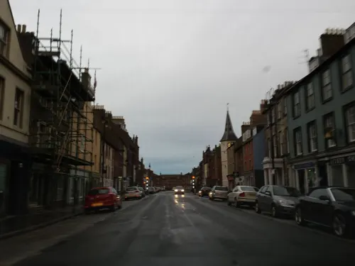
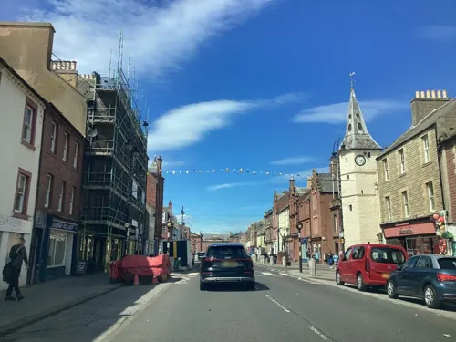
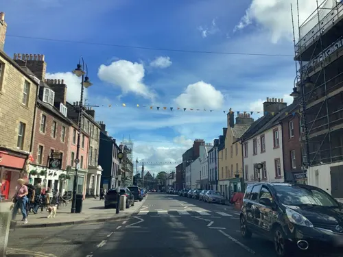
Parkers
Cafe · Coffee Shop
144 High Street
Su 10:00-16:00; Mo-We 09:00-16:00; Fr,Sa 09:00-16:00

The Station Yard
Bar and pub
Station Road, Dunbar
Mo-Th 15:00-23:00; Fr,Sa 12:00-24:00; Su 12:00-23:00


16 more on the map.
History
In its present form, the name Dunbar is derived from its Gaelic equivalent (modern Scottish Gaelic: Dùn Barra), meaning "summit fort". That itself is probably a Gaelicisation of the Cumbric form din-bar, with the same meaning. This form seems to be attested as Dynbaer in the seventh-century Vita Sancti Wilfrithi.
Excavations in advance of a housing development by CFA Archaeology, in 2003, found the remains of a later Bronze Age/early Iron Age (800–540 BC) person, indicating that people were living in the area during that time.
To the north of the present High Street, an area of open ground called Castle Park preserves almost exactly the hidden perimeter of an Iron Age promontory fort. The early settlement was a principal centre of the people known to the Romans as Votadini.
Dunbar was subsumed into Anglian Northumbria, as that kingdom expanded in the 6th century, and is believed to be synonymous with the Dynbaer of Eddius around 680, the first time that it appears in the written record.
The 2003 archaeological excavation also found a cemetery comprising 32 long-cist burials. Cemeteries of this type date from the early Christian period (AD 4th–8th centuries) and have been found in several areas around Dunbar, including to the east of Spott roundabout and at the swimming pool, which indicates a settlement existed during this time.
Read more of the history
The influential Northumbrian monk and scholar St Cuthbert, born around 630, was probably from around Dunbar: while still a boy, and employed as a shepherd, one night he had a vision of the soul of Saint Aidan being carried to heaven by angels and thereupon went to the monastery of Old Melrose and became a monk.
It was then a king's vill and prison to Bishop Wilfrid. As a royal holding of the kings of Northumbria, the economy centred on the collecting of food renders and the administration of the northern (now Scottish) portion of that kingdom. It was the base of a senior royal official, a reeve (later sheriff).
Danish and Norse attacks on southern Northumbria caused its power to falter and the northern portion became equally open to annexation by Scotland. Dunbar was burnt by Kenneth MacAlpin in the ninth century. Scottish control was consolidated in the next century and when Lothian was ceded to Malcolm II after the battle of Carham in 1018, Dunbar was finally an acknowledged part of Scotland.
Throughout these turbulent centuries, Dunbar's status must have been preserved because it next features as part of a major land grant and settlement by Malcolm III in favour of the exiled earl Gospatric of Northumbria (to whom he may have been full cousin) during 1072. Malcolm needed to fill a power vacuum on his south-eastern flank; Gospatric required a base from which to plot the resumption of his Northumbrian holding. The grant included Dunbar and, it can be deduced, an extensive swath of East Lothian and Berwickshire or Merse (hence March). Gospatric founded the family of Dunbar. The head of the House of Dunbar filled the position of Earls of Dunbar and March until the 15th century.
The town became successively a baronial burgh and royal burgh (1370). Cultivated rabbit warrens on the links to the east and west of the town supplied food to the royal household. In 1589, storms and windblown sand destroyed the warren on the west links.
Major battles were fought nearby in 1296 and 1650. The latter was fought during the Wars of the Three Kingdoms between a Scottish Covenanter army and English Parliamentarians led by Oliver Cromwell. The Scots were routed, leading to the overthrow of the monarchy and the occupation of Scotland.
A permanent military presence was established in the town with the completion of Castle Park Barracks in 1855.
The local band, Dunbar Royal British Legion Pipe Band, which was founded in 1976, has competed with success in national competitions.
On 3 January 1987, a devastating fire destroyed much of the town's historic parish church: though the fire practically destroyed the monument and left only the outer walls remaining, the church has since been rebuilt with a modern interior.
From the History section of Dunbar on Wikipedia, under CC BY-SA 4.0.
More about Dunbar
Geography
Dunbar has two promenades, forming part of the John Muir Way. These provide an ideal viewpoint to see Dunbar's geological features including volcanic deposits and dykes seen from a high vantage point on the western clifftop promenade which passes the town's Public and Winterfield parks.
There are two local beaches, the smaller East Beach next to the town featuring rock pools and the expansive Belhaven Beach on the outskirts.
Lochend Woods are a community resource owned and managed by the Dunbar Community Woodland Group.
As with most of the British Isles, Dunbar has an oceanic climate (Köppen: Cfb) with cool summers and mild winters. It is one of the sunniest and driest places in Scotland, with around 1,450 hours of sunshine and 600 mm (24 in) of rainfall annually. Temperature extremes range from 31.0 °C (87.8 °F) in August 1990 to −12.0 °C (10.4 °F) in January 1982.
Economy
The town centre has several independent, locally-owned retail businesses, including gift shops, salons, cafes, a community-owned bakery, grocer, fishmonger, traditional sweet shop, chocolatiere, florists, garden centre and pet shop. The town also has a zero waste shop, as well as several vintage and antique stores, and two charity shops. There are two RNLI shops reflecting the town's maritime connection. On the periphery of the town is a garden centre with cafe, an Asda supermarket, a restaurant and hotel owned by Marston's, named the Pine Marten.
Tourism is part of the economy. Agriculture remains important but fishing has declined, although the harbour is still active, mainly landing shellfish. The main manufacturers are Tarmac, producing cement at Oxwell Mains (the only integrated cement plant in Scotland), and Belhaven Brewery, producing Scottish Ale.
By 1913, fishing from Dunbar was mainly focused on shellfish. The Annual Report of the Fishery Board for 1913 states: "The principal earnings are from crabs and lobsters. The other fisheries are not now of much importance.".
Education
The town itself is served by two primary schools: West Barns Primary School and Dunbar Primary School, It is split between two campuses: the original building which is now referred to as John Muir Campus taking Primary 1–3s along with nursery pupils, with the newer-built "Lochend Campus" taking Primary 4–7s.
Dunbar Grammar School is a non-denominational state secondary school, with a wide catchment area including the surrounding areas and villages of East Linton, Stenton and Oldhamstocks. The school currently has a roll of 1,006 pupils.
From the Wikipedia article Dunbar, under CC BY-SA 4.0.
Notable people from Dunbar
 John MuirScottish-American naturalist (1838–1914)Photo: Carlton E. Watkins, Public domain
 Sandy SmithBritish artistPhoto: Sandy Smith, CC BY 3.0
- John TurnbullBritish film actor (1880-1956)
- Sam FrancisAmerican football player and coach, shot putter (1913-2002)
- Maria LyleBritish para-athletics competitor (2000-)
- Mellis NapierAustralian judge
- Charlie DicksonkScottish footballer (1934-2013)
- Robert GrayScottish banker and amateur ornithologist (1825-1887)
- Anthony Dickson HomeScottish military surgeon (1826–1914); recipient of the Victoria Cross
- James KirkwoodChurch of Scotland minister
- William TrenchCanadian mayor
- Malcolm SmithBritish climber
Born in Dunbar, according to Wikidata (CC0). Each name links to its Wikipedia article.
Where to stay11
Churches and places of worship6
Shopping8
Gas and EV charging2
Schools, colleges and libraries6
Healthcare2
Map of Dunbar
105 places. The map loads OpenStreetMap tiles when you open it.
Getting there and nearby towns
Leuchars Station (ADX) is the nearest airport with scheduled flights listed in OpenStreetMap, 29 miles away.
- Tranent 17 mi west, about 28 min by car
- Musselburgh 21 mi west, about 34 min by car
- Methil 23 mi northwest, about 38 min by car
- Berwick-Upon-Tweed 25 mi southeast, about 41 min by car
- Kirkcaldy 26 mi west, about 42 min by car
- Saint Andrews 26 mi northwest, about 42 min by car
- Edinburgh 27 mi west, about 43 min by car
- Glenrothes 29 mi northwest, about 46 min by car
- Galashiels 29 mi southwest, about 47 min by car
- Penicuik 30 mi southwest, about 48 min by car
Drive times are estimates from straight-line distance, not routes.
Towns near Dunbar


Keep exploring
Local news
Headlines from INDB.
Reviews, tips and questions
Loading what members have shared...
Sources and licences
- GeoNames (CC BY 4.0): population, coordinates, regions and time zone
- Mapillary (see each image): photos
- OpenStreetMap contributors (ODbL 1.0): places, airports, map data
- Wikidata (CC0 1.0): elevation, founding date, time zone, website, landmarks and historic places
- Wikimedia Commons (see each image): photos
- Wikipedia (CC BY-SA 4.0): overview and history text
Photo credits
- Tolbooth, Dunbar High Street, Kim Traynor, CC BY-SA 3.0
- John Muir's Birthplace, Dunbar Scotland, Kim Traynor, CC BY-SA 3.0
- Dunbar Harbour and Castle, 1987, Phillip Capper from Wellington, New Zealand, CC BY 2.0
- Belhaven Hill School, Dunbar, Blaithnaid, CC0
- Dunbar-John Muir beach, Original uploader was Jasco at en.wikipedia, Public domain
- John Muir birthplace, scanned and cropped by Jim Heaphy, Public domain
- Street-level photo, rudolfmayer, CC BY-SA 4.0
- Street-level photo, lucagm, CC BY-SA 4.0
- Street-level photo, lucagm, CC BY-SA 4.0
- Street-level photo, southglos, CC BY-SA 4.0
- Street-level photo, lucagm, CC BY-SA 4.0
- Street-level photo, smsm1, CC BY-SA 4.0
- Street-level photo, smsm1, CC BY-SA 4.0
- Street-level photo, lucagm, CC BY-SA 4.0
- Street-level photo, southglos, CC BY-SA 4.0
- Street-level photo, zuse, CC BY-SA 4.0
- Street-level photo, lucagm, CC BY-SA 4.0
- Street-level photo, lucagm, CC BY-SA 4.0
- Street-level photo, southglos, CC BY-SA 4.0
- Street-level photo, lucagm, CC BY-SA 4.0
- Street-level photo, smsm1, CC BY-SA 4.0
- Street-level photo, lucagm, CC BY-SA 4.0
- Street-level photo, zuse, CC BY-SA 4.0
- Street-level photo, lucagm, CC BY-SA 4.0
- Street-level photo, lucagm, CC BY-SA 4.0
- Street-level photo, smsm1, CC BY-SA 4.0
- Street-level photo, southglos, CC BY-SA 4.0
- Street-level photo, southglos, CC BY-SA 4.0
- Street-level photo, southglos, CC BY-SA 4.0
- Street-level photo, zuse, CC BY-SA 4.0
Page built November 10, 2026. Spotted a mistake? Tell us or suggest a place.