


Penicuik, United Kingdom
Penicuik is a town of 16,150 people in Scotland, United Kingdom.
Why visit Penicuik
Townapedia lists 13 museums and landmarks, 4 parks and trails, 30 places to eat, 4 places to stay and 2 attractions in and around town.
Highlights include Penicuik House, Penicuik Tower and Roslin Glen Country Park.
Weather in Penicuik
Forecast from MET Norway (CC BY 4.0). Full forecast
About Penicuik
Penicuik ( PEN-ee-kuuk; Scottish Gaelic: Ceann na Cuthaige) is a town and former burgh in Midlothian, Scotland, lying on the west bank of the River North Esk. It lies on the A701 midway between Edinburgh and Peebles, east of the Pentland Hills.
From the Wikipedia article Penicuik (this version), under CC BY-SA 4.0.
Travel tips from other travellers: Penicuik on Wikivoyage (CC BY-SA 4.0).
Things to do2

Museums and landmarks13



1 more on the map.
Parks, trails and playgrounds4
Penicuik Pétanque Club piste
Park
Compact gravel surface
Cranston Street, Penicuik

Roslin Glen Country Park
Park · 2.9 mi
Country park in Midlothian, Scotland, UK
Restaurants and cafes30


18 more on the map.
History
In 1296, Thomas Rymer's Foedera mentions a "Walter Edgar a person of Penicok south of Edenburgh", which logically can only be what is now called Penicuik. Penycook appears as the name on John Adair's map of 1682 and the ruined old parish church, in the centre of the graveyard, dates from the late 17th century.
Penicuik became home to an early paper mill, Valleyfield Mill, which was established by Agnes Campbell in 1709.
The Pomathorn Bridge was a toll bridge across the River Esk and the main route between Edinburgh to the north and the Scottish Borders to the south. "The Young Pretender", Charles Edward Stuart, is recorded as having crossed the River Esk on his march south on 8 November 1745.
The town was expanded as a planned village, roughly based on Edinburgh's New Town, by Sir James Clerk, 3rd Baronet of Penicuik in 1770.
Read more of the history
Glencorse Barracks, which is home to the Royal Highland Fusiliers, 2nd Battalion The Royal Regiment of Scotland, was established as a facility for incarcerating French prisoners of war during the Napoleonic Wars and was originally known as Greenlaw Military Prison when it was completed in 1803. Charles Cowan, who acquired Valleyfield Mill in 1779, sold it to the War Office in order to create additional prisoner of war facilities in 1811. In 1830, Alexander Cowan erected a monument, designed by Thomas Hamilton, to the memory of 309 prisoners who died in the prisoner of war camps.
Penicuik hosted the inaugural Grand Match in curling, between the north and the south of Scotland, in 1847. This took place on the "high pond" on the estate of Penicuik House, not the "low pond" which is still used for curling on rare occasions.
The town, whilst generally architecturally undistinguished, contains two masterpieces by Frederick Thomas Pilkington: the South Church (originally the United Free Church, of 1862; and the flamboyant "Park End" houses on Bridge Street also of 1862.
Following population growth, largely associated with the paper mills, the town became a burgh in 1866.
In 1889, a fire at the Mauricewood Colliery resulted in the death of 63 men and boys, with only seven survivors. Its owners, The Shotts Iron Company, closed the pit following the disaster.
The Cowan Institute, now known as Penicuik Town Hall, was funded by the Cowan family and designed by Campbell Douglas in 1893.
The Penicuik war memorial was designed by Sir Robert Lorimer and dates from 1920.
The Dalmore paper mill on the North Esk river at Auchendinny closed in 2004.
From the History section of Penicuik on Wikipedia, under CC BY-SA 4.0.
Notable people from Penicuik
 Alexander Keith JohnstonScottish geographer (1804–1871)Photo: Stephencdickson, CC BY-SA 4.0
 James Cossar EwartBritish zoologist (1851–1933)Photo: Unknown author Unknown author, Public domain
 John Clerk of EldinScottish merchant, naval author, artist, geologist and landowner; (1728-1812)Photo: James Saxon, Public domain
 Colin NobleScottish racing driverPhoto: United Autosports, CC BY-SA 2.0
 Alexander Cowan(1775-1859)Photo: Stephencdickson, CC BY-SA 4.0
- Tom Walkinshawracecar driver (1946-2010)
- Cargill Gilston KnottBritish mathematician and physicist
- James FinlaysonBritish businessman
- David EwartCanadian architect (1841-1921)
- Jim Aitkenrugby union player from Scotland
- Jock MorganScottish footballer (1889-1983)
- David SherlawScottish professional footballer (born 1901)
Born in Penicuik, according to Wikidata (CC0). Each name links to its Wikipedia article.
Where to stay4
Churches and places of worship5
Shopping6
Schools, colleges and libraries8
Healthcare2
Map of Penicuik
74 places. The map loads OpenStreetMap tiles when you open it.
Getting there and nearby towns
Edinburgh Airport (EDI) is the nearest airport with scheduled flights listed in OpenStreetMap, 10 miles away.
- Edinburgh 8 mi north, about 14 min by car
- Tranent 13 mi northeast, about 21 min by car
- Rosyth 16 mi northwest, about 26 min by car
- Whitburn 18 mi west, about 29 min by car
- Wishaw 27 mi west, about 44 min by car
- Stirling 34 mi northwest, about 55 min by car
- Rutherglen 38 mi west, about 1 h by car
- Saint Andrews 39 mi northeast, about 1 h by car
- Glasgow 40 mi west, about 1 h by car
- Dundee 45 mi north, about 1 h 15 min by car
Drive times are estimates from straight-line distance, not routes.
Towns near Penicuik


Keep exploring
Local news
Headlines from INDB.
Reviews, tips and questions
Loading what members have shared...
Sources and licences
- GeoNames (CC BY 4.0): population, coordinates, regions and time zone
- Mapillary (see each image): photos
- OpenStreetMap contributors (ODbL 1.0): places, airports, map data
- Wikidata (CC0 1.0): elevation, founding date, time zone, website, landmarks and historic places
- Wikimedia Commons (see each image): photos
- Wikipedia (CC BY-SA 4.0): overview and history text
Photo credits
- Penicuik, M J Richardson, CC BY-SA 2.0
- Penicuik High School, Front, west of building, Dawatters, CC BY-SA 4.0
- Penicuik High School, Front elevation of school, Dawatters, CC BY-SA 4.0
- Penicuik High School, Detail of front elevation, Dawatters, CC BY-SA 4.0
- Penicuik High School, Front, east of building, Dawatters, CC BY-SA 4.0
- Penicuik High School,Front close-up, Dawatters, CC BY-SA 4.0
- Penicuik House restoration, 2011, kim traynor, CC BY-SA 3.0
- Penicuik South Kirk, front view, Dawatters, CC BY-SA 4.0
- Tower, Penicuik House, ToyHorse, CC BY-SA 4.0
- Portico of St Mungo's, Dawatters, CC BY-SA 4.0
- Midlothian - St James The Less Episcopal Church, Broomhill Road, Penicuik DSCN0181, AlasdairW, CC BY-SA 4.0
- Midlothian - Navaar House Hotel, 25 Bog Road, Penicuik DSCN0156, AlasdairW, CC BY-SA 4.0
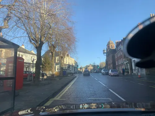
- Street-level photo, lucagm, CC BY-SA 4.0
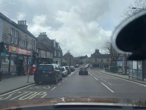
- Street-level photo, lucagm, CC BY-SA 4.0
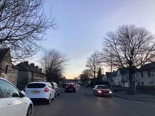
- Street-level photo, lucagm, CC BY-SA 4.0
- Street-level photo, lucagm, CC BY-SA 4.0
- Street-level photo, lucagm, CC BY-SA 4.0
- Street-level photo, lucagm, CC BY-SA 4.0
- Street-level photo, lucagm, CC BY-SA 4.0
- Street-level photo, lucagm, CC BY-SA 4.0
- Street-level photo, lucagm, CC BY-SA 4.0
- Street-level photo, lucagm, CC BY-SA 4.0
- Street-level photo, lucagm, CC BY-SA 4.0
- Street-level photo, lucagm, CC BY-SA 4.0
- Street-level photo, lucagm, CC BY-SA 4.0
- Street-level photo, lucagm, CC BY-SA 4.0
- Street-level photo, lucagm, CC BY-SA 4.0
- Street-level photo, lucagm, CC BY-SA 4.0
- Street-level photo, lucagm, CC BY-SA 4.0
- Street-level photo, lucagm, CC BY-SA 4.0
- Street-level photo, lucagm, CC BY-SA 4.0
- Street-level photo, lucagm, CC BY-SA 4.0
- Street-level photo, lucagm, CC BY-SA 4.0
- Street-level photo, lucagm, CC BY-SA 4.0
- Street-level photo, lucagm, CC BY-SA 4.0


Page built November 10, 2026. Spotted a mistake? Tell us or suggest a place.