


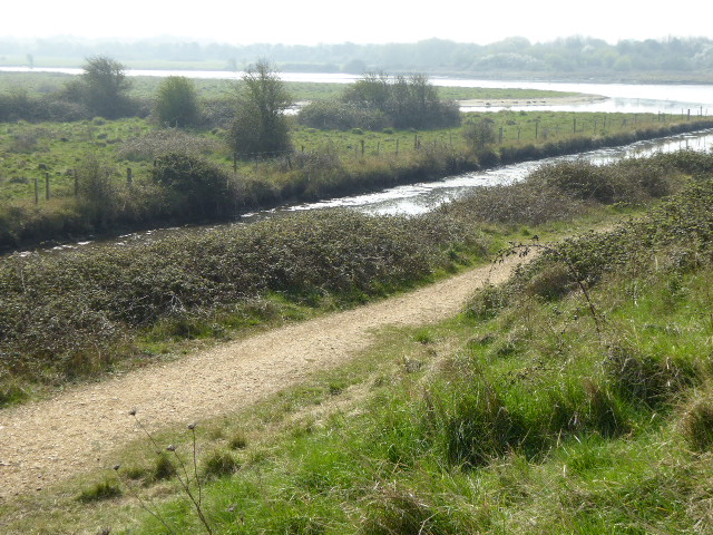

Why visit Havant
Townapedia lists 38 museums and landmarks, 25 parks and trails, 181 places to eat, 10 places to stay and 3 attractions in and around town.
Highlights include Langstone Bridge, Storey Garden, Emsworth Museum and Spring Arts and Heritage Centre.
Weather in Havant
Forecast from MET Norway (CC BY 4.0). Full forecast
About Havant
Havant is a town in the south-east corner of Hampshire, England. Nearby places include Portsmouth to the south-west, Southampton to the west, Waterlooville to north, Chichester to the east and Hayling Island to the south. The wider borough comprises the town (45,826), the resort of Hayling Island, the town of Waterlooville, and the town of Emsworth.
From the Wikipedia article Havant (this version), under CC BY-SA 4.0.
Travel tips from other travellers: Havant on Wikivoyage (CC BY-SA 4.0).
Things to do3


Storey Garden
Farm and orchard · 1.4 mi
This produce stand sells Plants & Produce.
Petersfield road, Havant
Mo-Fr 10:00-15:00

Museums and landmarks38


Spring Arts and Heritage Centre
Museum · 0.5 mi
Arts centre in Hampshire, United Kingdom

Wadeway
Monument and historic site · 1.4 mi
Only accessible at low tide



Sample House (site of)
Monument and historic site · 2.5 mi
Structure relocated to Bursledon Brickworks museum.
26 more on the map.
Parks, trails and playgrounds25

Farlington Marshes
Park · 2.5 mi
Nature reserve in Hampshire, England, UK


Staunton Country Park
Park · 1.6 mi
Parkland and forest in Hampshire, England, UK


Stansted Park
Park · 3.6 mi
Park in Stoughton, Chichester, West Sussex, England, UK

Hazleton Common
Park · 3.2 mi
Local nature reserve in Horndean, Hampshire, England, UK


13 more on the map.
Restaurants and cafes181
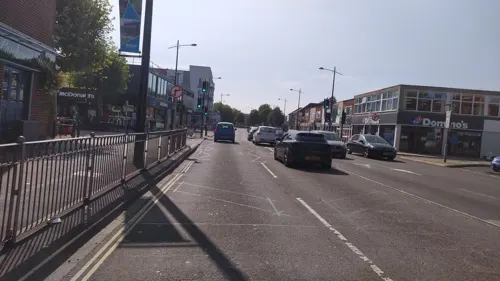
The Parchment Makers
Bar and pub
1 Park Road North, Havant
Mo,Tu,We,Th,Su 08:00-23:00; Fr 08:00-25:15; Sa 08:00-25:00
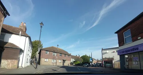
Darbar
Restaurant · Indian · 2.2 mi
36 North Street, Emsworth
Su-Th 17:30-22:00; Mo-Su 12:00-14:00; Fr-Sa 17:30-22:30
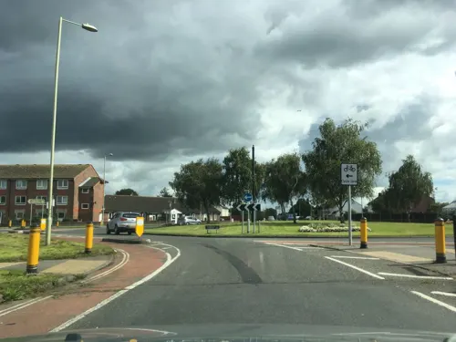
Khan's Balti House
Restaurant · Indian · 0.8 mi
5 Middle Park Way, Havant
Su-Th 16:30-23:00; Fr-Sa 16:30-23:30

Massalla Hut
Restaurant · Curry, Indian · 2.6 mi
Free delivery minimum order £15.
244B London Road, Waterlooville
17:00-23:00
Red Rose Lounge
Restaurant · Bangladeshi, Indian · 2.6 mi
Free home deliveries on orders over £12 within 4 miles. This restaurant has a Sundat buffet. You can also order food online.
258 London Road, Waterlooville
Tu-Su 17:30-22:30; Fr,Sa 17:30-23:00

Jade Garden
Restaurant · Chinese · 2.6 mi
123 London Road, Waterlooville
Mo-Th 17:00-23:00; Fr-Sa 12:00-14:30,17:00-23:00; Su 12:30-21:30

Red Chilli
Restaurant · Bangladeshi
51 North Street, Havant
Su-Th 12:00-14:30,17:30-23:30; Fr-Sa 12:00-14:30,17:30-24:00
Spice Village
Restaurant · Indian · 2.3 mi
47 High Street, Emsworth
Su-Mo 17:00-23:30; We-Th 17:00-23:30; Fr-Sa 17:00-24:00
169 more on the map.
History
Archeological digs in the 19th and 20th centuries uncovered evidence of Roman buildings – near St Faith's Church and in Langstone Avenue, along with Neolithic and Mesolithic remains.
Havant was known around 935 CE as 'Hamanfunta' (the spring of Hama), referring to the spring to the south-west of St Faith's Churchyard and a settlement was made at the crossing point of tracks from the Downs to the coast and another east–west along the coast.
In 1086 (at the time of the Domesday Book), Havant was a village with a population of around 100. In 1200, the monks of Winchester Cathedral were granted the right to hold a market at Haveunte. Around 1450, an annual fair was held on the feast of Saint Faith.
For much of its history water played a vital part in local commerce, with many water mills, and parchment manufacture and brewing.
Read more of the history
Much of Havant was destroyed by fire in 1760, leaving only the church and the adjacent late 16th or early 17th century cottages. The cottages are now known collectively as "The Old House at Home", and are used as a pub. It is claimed that the two main beams in the lounge bar were recovered from the Spanish Armada, and that the "Bear Post" within once had the last dancing bear in England tethered to it. The fire allowed widening of roads and easier passage of stagecoaches through the town: the Bear Hotel and Dolphin Hotel were notable coaching inns. In the early hours of 25 October 1784 Havant suffered a minor earthquake, and a similar event occurred on 30 November 1811.
Hall Place, on South Street is a grade II-listed house, larger than others in the four main streets. It was rebuilt in 1796 by John Butler, replacing a seventeenth-century house reputed to have been built with stone from the slighted Warblington Castle. The classically Georgian house, of buff colour bricks from Dorset, passed in the 1820s into the ownership of Mr Charles Beare Longcroft, solicitor of established civic fame, whose wife's grandfather, John Cressweller (or Crassweller), had purchased the house from John Butler in 1803 and whose family parted with it in the middle of the 20th century.
Early English in style, the oldest undisturbed parts of the church of St Faith, such as the chancel, date from the early 13th century. Some of the foundations are believed to date from Roman times. The vestry is 14th century and there is a monumental brass to William Aylward, 1413.
By 1768 Havant had its first postmaster trading from various offices until the present post office in East Street opened in 1936 (one of a handful in the UK with the cypher of King Edward VIII above the entrance). In 1976 a Royal Mail Christmas postage stamp depicted an angel design from a medieval embroidery in the Victoria and Albert Museum owned by the Victorian-established Catholic Mission in the Brockhampton neighbourhood.
In 1847 Havant was connected with a station on the railway to Portsmouth and Brighton via Chichester and this was followed by the Portsmouth Direct Line to London in 1859. The branch line to Hayling Island ran from 1867 until the mid-1960s rationalisation.
The first hospital in the town opened in 1894 in Potash Terrace as a fever hospital, closing in 1939. A war memorial hospital opened in 1929 in Crossway; in 1935 a fine frieze of Royal Doulton tiles depicting nursery rhymes was added to the children's ward.
The resident population rose in 'Havant and Waterloo Urban District' from 26,367 in 1939 to 74,552 for this direct predecessor to the borough in 1961. The rate of population increase has decreased since 1961 but population approximately doubled in the 50 years to 2011, with less cultivated land and fewer housing schemes and little non-hillside or direct coastal land available for development.
Under upcoming local government reform plans the district will be merged with nearby districts including Portsmouth to form a new South East Hampshire unitary authority in 2028.
From the History section of Havant on Wikipedia, under CC BY-SA 4.0.
More about Havant
Geography
The old centre of the town is on a classic crossroad configuration, with the four streets being named North Street, East Street, South Street and West Street, and St Faith's Church at the crossing. One axis is a known Roman road and a few artefacts along the route point to the other also being so.
The major A27 road with various crossings sections off the coastal village suburbs of Langstone and the south of Bedhampton. Its north is Leigh Park, a three-ward suburb originally of council housing laid out before 1960 through the co-operation of the local and Portsmouth authorities (the other designated area being Paulsgrove occupying west Cosham), beyond which is Staunton Country Park in the South Downs National Park. To the east is Emsworth, another town which is contiguous with Havant. To the west is Portsdown Hill and part of Bedhampton. The A3(M) passes to the west.
There are several natural springs in the area, including one a short distance south-west of the church on West Street at the end of Homewell. This used to be the home of the premier parchment making facility in Southern England (closing in 1936) which later became a glove making factory and leather processing plant. The Treaty of Versailles was written on Havant parchment.
Economy
The town's commerce, retired and commuter population swelled after World War II so as to be usually considered economically part of the Portsmouth conurbation, its part closest to the Brighton-Worthing-Littlehampton conurbation, as at the 2011 census, in population, within the 20 largest conurbations in the UK.
The main shopping centre is called Meridian Shopping (formerly known as the Meridian Centre), as well as a pedestrianised section of West Street. The old town hall now houses The Spring Arts & Heritage Centre (formerly known as Havant Arts Centre). Havant is home to the local community radio station, Angel Radio which specialises in music of the pre-1960s era.
Education
Although there had been private schools before, it was not until the Elementary Education Act 1870 that Havant gained its first state schools – one in Brockhampton Lane, followed by one in West Street and then in Fairfield Road. The town gained another school in the form of Bosmere Junior School in 1985.
In 2017 Havant College and South Downs College merged to form Havant and South Downs College.
From the Wikipedia article Havant, under CC BY-SA 4.0.
Notable people from Havant
 Tiff NeedellBritish racing driver and television presenterPhoto: Brian Snelson, CC BY 2.0
- Ernest Cribbsailor (1885-1957)
- David Blakecricketer (1925-2015)
- Rosemary MurrayBritish chemist and academic
- Francis FosterEnglish cricketer (1848-1931)
- Garth HudsonBritish association football player (1923-2014)
- David GormanEnglish cricketer (born 1955)
- George TaylorEnglish cricketer (1909-1986)
- Thomas SheppardEnglish cricketer (1873-1954)
- Richard UtleyEnglish cricket player (1906-1968)
- Okeover LongcroftEnglish cricketer (1850-1871)
- John BulbeckEnglish cricketer (1818-1888)
Born in Havant, according to Wikidata (CC0). Each name links to its Wikipedia article.
Where to stay10
Churches and places of worship38
St John the Baptist, Westbourne
Church · Anglican · 2.5 mi
Westbourne Road, Emsworth
St Clare's Church
Church · Anglican · 1.5 mi
St Clares Avenue, Warren Park, Havant
Shopping33
Gas and EV charging12
Schools, colleges and libraries43
Rowlands Castle St John's Church of England Controlled Primary School
School · Anglican · 2.0 mi
Whichers Gate Road, Rowland's Castle
St James Church of England Controlled Primary School
School · Anglican · 2.0 mi
Bellevue Lane, Emsworth
Healthcare21
Map of Havant
250 places. The map loads OpenStreetMap tiles when you open it.
Getting there and nearby towns
Goodwood Aerodrome (QUG) is the nearest airport with scheduled flights listed in OpenStreetMap, 10 miles away.
- Emsworth 2 mi east, about 4 min by car
- Waterlooville 3 mi northwest, about 4 min by car
- Cosham 3 mi west, about 6 min by car
- South Hayling 5 mi south, about 8 min by car
- Hayling Island 5 mi south, about 8 min by car
- Portsmouth 6 mi southwest, about 10 min by car
- Chichester 9 mi east, about 15 min by car
- Petersfield 10 mi north, about 17 min by car
- Ryde 12 mi southwest, about 19 min by car
- Selsey 12 mi southeast, about 19 min by car
Drive times are estimates from straight-line distance, not routes.
Towns near Havant


Keep exploring
Local news
Headlines from INDB.
Reviews, tips and questions
Loading what members have shared...
Sources and licences
- GeoNames (CC BY 4.0): population, coordinates, regions and time zone
- Mapillary (see each image): photos
- OpenStreetMap contributors (ODbL 1.0): places, airports, map data
- Wikidata (CC0 1.0): elevation, founding date, time zone, website, landmarks and historic places
- Wikimedia Commons (see each image): photos
- Wikipedia (CC BY-SA 4.0): overview and history text
Photo credits
- Langstone harbour bridgeside view 2011, Geni, CC BY-SA 4.0
- The Spring Arts and Heritage Centre, Geni, CC BY-SA 4.0
- Farlington marshes april 2011, Geni, CC BY-SA 4.0
- Southmoor Nature Reserve, Havant 01, Simon Burchell, CC BY-SA 4.0
- Eames Farm (5), Dudley Miles, CC BY-SA 4.0
- Stansted Park 11, Simon Burchell, CC BY-SA 4.0
- Waterlooville Baptist Church, London Road, Waterlooville (May 2019) (5), Hassocks5489, CC0
- St John the Baptist's Church, The Grove, Westbourne (NHLE Code 1026167), The Voice of Hassocks, CC0
- Warblington castle tower from churchyard, Geni, CC BY-SA 4.0
- Hayling Island - St Peter's Church 04, Paweł 'pbm' Szubert ( talk ), CC BY-SA 3.0
- St Andrew's Church, Havant Road, Farlington (NHLE Code 1333214) (August 2017) (1), Hassocks5489, CC0
- St James's Church, North Street, Emsworth (NHLE Code 1340210) (March 2012) (9), Hassocks5489, CC0
- Bosmere Junior School, Havant, Tim Sheerman-Chase, CC BY 2.0
- Leigh water from the site of the old house, geni, CC BY-SA 4.0
- 091319LBNW, Macspite, CC BY-SA 4.0
- St Alban's Church, Martin Road, Leigh Park (May 2019) (1), Hassocks5489, CC0
- Emsworth Museum 20210418 114557, Dcs57, CC BY-SA 4.0
- The Beacon, Staunton Country Park 2, Tim Sheerman-Chase, CC BY 2.0
- Street-level photo, noid, CC BY-SA 4.0
- Street-level photo, noid, CC BY-SA 4.0
- Street-level photo, randomhacks, CC BY-SA 4.0
- Street-level photo, benscottrobinson, CC BY-SA 4.0
- Street-level photo, tallguy, CC BY-SA 4.0
- Street-level photo, tallguy, CC BY-SA 4.0
- Street-level photo, noid, CC BY-SA 4.0


Page built November 10, 2026. Spotted a mistake? Tell us or suggest a place.