


Lofthouse, United Kingdom
Lofthouse is a town of 23,458 people in England, United Kingdom.
Why visit Lofthouse
Townapedia lists 6 museums and landmarks, 19 parks and trails, 67 places to eat, 2 places to stay and 2 attractions in and around town.
Highlights include Theatre Royal, Wakefield, Rhubarb Triangle Farm Shop, The Art House and Wakefield Museum.
Weather in Lofthouse
Forecast from MET Norway (CC BY 4.0). Full forecast
About Lofthouse
Lofthouse is a village between the cities of Wakefield and Leeds in West Yorkshire, England. The village falls within the Ardsley and Robin Hood ward of the City of Leeds Council. It is in the City of Leeds metropolitan borough but with a Wakefield postal address (WF3). It is mentioned as Locthuse, also as Loftose in the 1086 Domesday Book.
From the Wikipedia article Lofthouse, West Yorkshire (this version), under CC BY-SA 4.0.
Things to do2

Theatre Royal, Wakefield
Cinema and theater · 3.3 mi
Theatre in Wakefield, England

Rhubarb Triangle Farm Shop
Farm and orchard · 0.5 mi
Ouzlewell Green, Wakefield
Mo-Sa 08:30-17:00; Su 10:00-16:00; PH 10:00-16:00
Museums and landmarks6


Wakefield Museum
Museum · 3.2 mi
Museum in Wakefield, West Yorkshire, United Kingdom

Rothwell Castle
Monument and historic site · 1.5 mi
Rothwell Castle was originally an 11th century timber castle or fortified manor house,

Thwaite Watermill
Museum · 3.2 mi
Museum in Leeds, West Yorkshire, England, UK
Parks, trails and playgrounds19

Gateway 45
Park · 3.2 mi
Mixed use business park in Leeds, West Yorkshire, England


Leeds Valley Park
Park · 2.3 mi
Business park in Leeds, West Yorkshire, UK
Riding's Way Park
Park · 0.9 mi
Park containing large area of grass, along with a section for children to play with swings and a slide. Open to everyone
7 more on the map.
Restaurants and cafes67
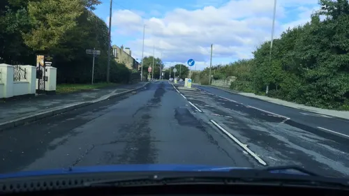
The Gardeners Arms
Bar and pub · 0.5 mi
383 Leeds Road, Wakefield
Mo-We 12:00-23:00; Th-Sa 12:00-24:00; Su 12:00-22:30
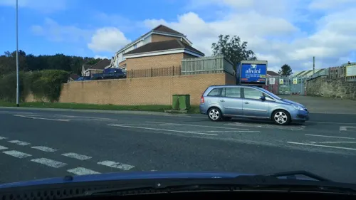
The Old Halfway House
Bar and pub · 0.9 mi
452 Leeds Road, Wakefield
Mo 14:00-23:00, Tu-Th 12:00-23:00, Fr,Sa 12:00-24:00, Su 12:00-22:30
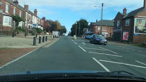

The British Oak
Bar and pub · 1.4 mi
7 Marsh Street, Leeds
Mo-We 18:30-00:00; Th-Fr 16:30-00:00; Sa 12:00-00:00; Su...
The Angel
Bar and pub · 1.4 mi
Wakefield Road, Leeds
Mo-Th 11:00-23:00; Fr,Sa 11:00-24:00; Su 11:00-22:30
Carlton Social Club
Bar and pub · 0.9 mi
Main Street, Wakefield
Mo-Th 14:00-20:00; Fr 14:00-23:00; Sa 12:00-23:30; Su 12:00-20:00
Hare and Hounds Inn
Bar and pub · 1.5 mi
Commercial Street, Leeds
Mo-Th 12:00-23:30, Fr 12:00-00:30, Sa 11:00-00:30, Su 11:00-23:30
The White Swan
Bar and pub · 1.6 mi
Church Street, Leeds
Tu-Sa 12:00-23:00; Su 12:00-20:30

55 more on the map.
History
The name Lofthouse derives from the Old Norse lopt-hús meaning 'a house with a loft'.
Lofthouse was formerly a township and chapelry in the parish of Rothwell. On 1 April 1937 Lofthouse became a civil parish, being formed from Lofthouse with Carlton and Thorpe, on 1 April 1974 the parish was abolished. In 1951 the parish had a population of 7115.
From the History section of Lofthouse, West Yorkshire on Wikipedia, under CC BY-SA 4.0.
Notable people from Lofthouse
- Graham Atkinsoncricketer (1938-2015)
Born in Lofthouse, according to Wikidata (CC0). Each name links to its Wikipedia article.
Where to stay2
Churches and places of worship15
Shopping8
Gas and EV charging3
Schools, colleges and libraries12
Stanley St Peters Church of England Voluntary Controlled Primary School
School · Anglican · 1.3 mi
Lake Lock Road, Wakefield
Healthcare7
Map of Lofthouse
141 places. The map loads OpenStreetMap tiles when you open it.
Getting there and nearby towns
Leeds Bradford Airport (LBA) is the nearest airport with scheduled flights listed in OpenStreetMap, 12 miles away.
- Wakefield 3 mi south, about 5 min by car
- Leeds 5 mi northwest, about 8 min by car
- Ossett 5 mi southwest, about 8 min by car
- Pudsey 8 mi northwest, about 13 min by car
- Mirfield 9 mi southwest, about 15 min by car
- Bradford 11 mi northwest, about 18 min by car
- Huddersfield 13 mi southwest, about 21 min by car
- South Elmsall 13 mi southeast, about 21 min by car
- Shipley 13 mi northwest, about 21 min by car
- Wetherby 14 mi north, about 23 min by car
Drive times are estimates from straight-line distance, not routes.
Towns near Lofthouse


Keep exploring
Local news
Headlines from INDB.
Reviews, tips and questions
Loading what members have shared...
Sources and licences
- GeoNames (CC BY 4.0): population, coordinates, regions and time zone
- Mapillary (see each image): photos
- OpenStreetMap contributors (ODbL 1.0): places, airports, map data
- Wikidata (CC0 1.0): elevation, founding date, time zone, website, landmarks and historic places
- Wikimedia Commons (see each image): photos
- Wikipedia (CC BY-SA 4.0): overview and history text
Photo credits
- RIMG11316, Stan walker, CC BY-SA 3.0
- Former Public Library, Wakefield, Anne Burgess, CC BY-SA 2.0
- Wakefield Museum 2015, Jill Jennings, CC BY-SA 4.0
- Lake In Middleton Park, J3Mrs ( talk ), CC BY-SA 3.0
- RIMG11191 1, Stan walker, CC BY-SA 3.0
- Temple Green Park and Ride, The joy of all things, CC BY-SA 4.0
- Street-level photo, cuttlebug, CC BY-SA 4.0
- Street-level photo, cuttlebug, CC BY-SA 4.0
- Street-level photo, cuttlebug, CC BY-SA 4.0
- Street-level photo, cuttlebug, CC BY-SA 4.0
- Street-level photo, cuttlebug, CC BY-SA 4.0
- Street-level photo, cuttlebug, CC BY-SA 4.0
- Street-level photo, cuttlebug, CC BY-SA 4.0
- Street-level photo, cuttlebug, CC BY-SA 4.0
- Street-level photo, cuttlebug, CC BY-SA 4.0
Page built November 10, 2026. Spotted a mistake? Tell us or suggest a place.