


Long Crendon, United Kingdom
Long Crendon is a town of 2,335 people in England, United Kingdom.
Why visit Long Crendon
Townapedia lists 4 museums and landmarks, 7 parks and trails, 8 places to eat and 1 place to stay in and around town.
Highlights include Long Crendon Courthouse, Thame Museum and Snakemoor.
Weather in Long Crendon
Forecast from MET Norway (CC BY 4.0). Full forecast
About Long Crendon
Long Crendon is a village and civil parish in west Buckinghamshire, England, about 3 miles (5 km) west of Haddenham and 2 miles (3 km) north-west of Thame in neighbouring Oxfordshire.
From the Wikipedia article Long Crendon (this version), under CC BY-SA 4.0.
Museums and landmarks4

Long Crendon Courthouse
Museum · 0.4 mi
15th-century building in Aylesbury, Buckinghamshire, England, UK
We 14:00-18:00; Sa,Su 11:00-18:00; Oct-Mar off
Thame Museum
Museum · 1.8 mi
Museum in Thame, England, United Kingdom

Haddenham War Memorial
Monument and historic site · 3.0 mi
War Memorial located in Church End, Haddenham, Buckinghamshire, England, UK
Parks, trails and playgrounds7

Snakemoor
Park · 2.2 mi
Local nature reserve in Buckinghamshire, England




Restaurants and cafes8




Where to stay1

History
"Crendon" was the caput of the feudal honour held by Walter Giffard (died 1102), created Earl of Buckingham by William the Conqueror. The Manor in Long Crendon was once a great building that housed the later Earls of Buckingham and over the years the various manorial estates in the village have passed through the hands of the Crown, Oxford University, the Earls of March and the Marquis of Buckingham. The latter is now the Lord of the manor of Long Crendon.
In 1162, an order of Augustinian (see Arrouaise) monks was founded in the village at nearby Notley Abbey. The park in which the abbey stood was donated to the abbey itself by the incumbent of the manor, the Earl of Buckingham. At the time of the dissolution of the monasteries the annual income was calculated as over £437, an immense amount of money for the time. The abbey still stands, but as a secular manor house. In the 20th century it was the marital home of actors Sir Laurence Olivier and Vivien Leigh.
Read more of the history
In 1218, Long Crendon was granted a royal charter to hold a weekly market; the monies from which were to be collected by William Earl Marshal who owned the manor at that time. The town was certainly important in this period as it shared the distinction with Aylesbury as being the only places in the whole of England where needles were made. The royal charter was later rescinded and the market moved and joined with the existing one in nearby Thame.
The Church of England parish church of St Mary dates from the 12th century. The building has undergone several major renovations and refurbishments since 2007. The village has also a Baptist church and a Catholic church.
Long Crendon Courthouse is a 15th-century timber-frame building. Manorial courts were held here from the reign of King Henry V until the Victorian era. The National Trust bought the courthouse in 1900. The lower floor is residential; the upper floor can be visited.
From the History section of Long Crendon on Wikipedia, under CC BY-SA 4.0.
Churches and places of worship4
Gas and EV charging1
Schools, colleges and libraries2
Map of Long Crendon
27 places. The map loads OpenStreetMap tiles when you open it.
Getting there and nearby towns
RAF Benson (BEX) is the nearest airport with scheduled flights listed in OpenStreetMap, 12 miles away.
- Thame 2 mi southeast, about 3 min by car
- Brill 4 mi northwest, about 6 min by car
- Oakley 4 mi northwest, about 6 min by car
- Stone 6 mi east, about 9 min by car
- Waddesdon 6 mi northeast, about 10 min by car
- Longwick 7 mi southeast, about 10 min by car
- Aylesbury 8 mi east, about 13 min by car
- Garsington 8 mi southwest, about 13 min by car
- Cowley 9 mi west, about 15 min by car
- Oxford 11 mi west, about 18 min by car
Drive times are estimates from straight-line distance, not routes.
Towns near Long Crendon


Keep exploring
Local news
Headlines from INDB.
Reviews, tips and questions
Loading what members have shared...
Sources and licences
- GeoNames (CC BY 4.0): population, coordinates, regions and time zone
- Mapillary (see each image): photos
- OpenStreetMap contributors (ODbL 1.0): places, airports, map data
- Wikidata (CC0 1.0): elevation, founding date, time zone, website, landmarks and historic places
- Wikimedia Commons (see each image): photos
- Wikipedia (CC BY-SA 4.0): overview and history text
Photo credits
- LongCrendonCourthouse(DavidHawgood)Aug2005, David Hawgood, CC BY-SA 2.0
- Snakemoor 6, Dudley Miles, CC BY-SA 4.0
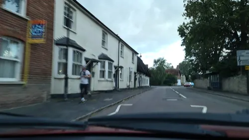
- Street-level photo, alexanderar, CC BY-SA 4.0
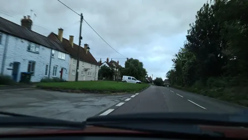
- Street-level photo, alexanderar, CC BY-SA 4.0
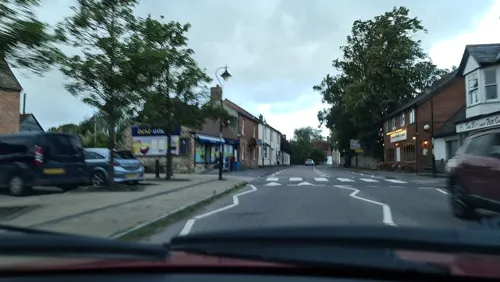
- Street-level photo, alexanderar, CC BY-SA 4.0
- Street-level photo, alexanderar, CC BY-SA 4.0
- Street-level photo, alexanderar, CC BY-SA 4.0
- Street-level photo, alexanderar, CC BY-SA 4.0
- Street-level photo, alexanderar, CC BY-SA 4.0
- Street-level photo, alexanderar, CC BY-SA 4.0
Page built November 10, 2026. Spotted a mistake? Tell us or suggest a place.