


Why visit Thame
Townapedia lists 6 museums and landmarks, 12 parks and trails, 35 places to eat, 3 places to stay and 1 attraction in and around town.
Highlights include The Players Theatre, Long Crendon Courthouse, Thame Museum and Snakemoor.
Weather in Thame
Forecast from MET Norway (CC BY 4.0). Full forecast
About Thame
Thame is a market town and civil parish in Oxfordshire, England. It is located about 13 miles (21 km) east of the city of Oxford, 10 miles (16 km) south-west of Aylesbury and 40 miles (64 km) north-west of London. It derives its name from the River Thame, which flows along the north side of the town and forms part of the county border with Buckinghamshire. The parish includes the hamlet of Moreton, just south of the town.
From the Wikipedia article Thame (this version), under CC BY-SA 4.0.
Travel tips from other travellers: Thame on Wikivoyage (CC BY-SA 4.0).
Things to do1

Museums and landmarks6

Long Crendon Courthouse
Museum · 2.0 mi
15th-century building in Aylesbury, Buckinghamshire, England, UK
We 14:00-18:00; Sa,Su 11:00-18:00; Oct-Mar off

Haddenham War Memorial
Monument and historic site · 2.4 mi
War Memorial located in Church End, Haddenham, Buckinghamshire, England, UK
Parks, trails and playgrounds12




Long Crendon Play Area
Park · 1.7 mi
Has a basketball court and some play equipment


Restaurants and cafes35
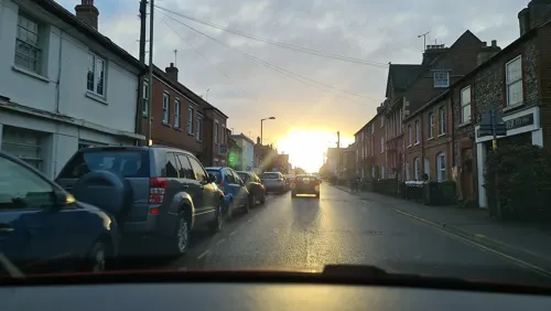
The Cross Keys
Bar and pub
East Street, Thame
Mo-Fr 12:00-14:00,17:00-23:00; Sa 12:00-23:00; Su 12:00-22:30; PH...
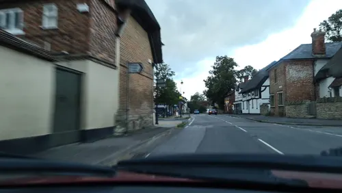
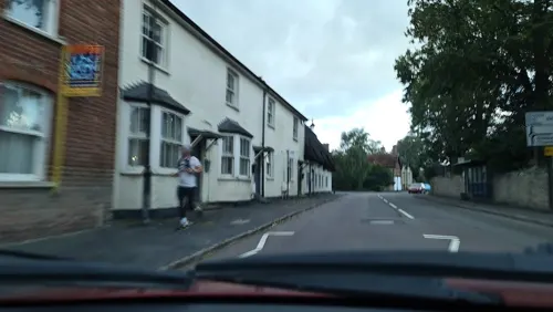
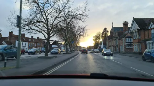
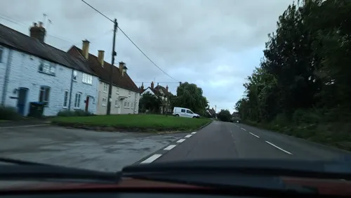
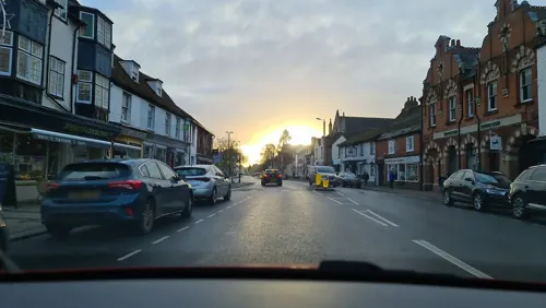
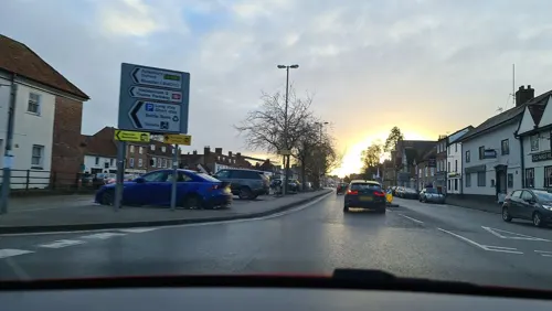
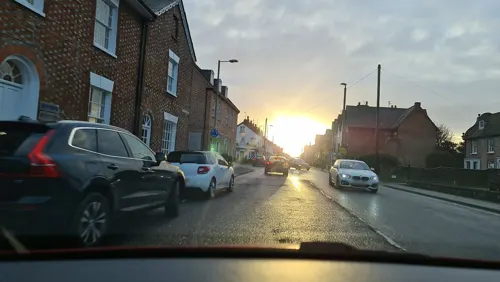
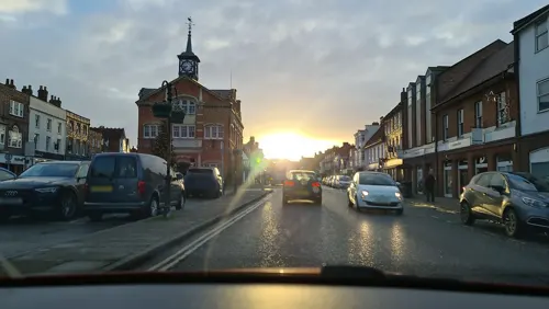


23 more on the map.
History
Thame Abbey was founded in 1138 for the Cistercian Order; the abbey church was consecrated in 1145. In the 16th century Dissolution of the Monasteries, the abbey was suppressed and the church demolished. Thame Park (the house) was built on the site, incorporating parts of the abbey including the early-16th century abbot's house. Its interior is one of the earliest examples of the Italian Renaissance in England. A Georgian west wing was added in the 18th century. In about 1840, parts of the foundations of the abbey church were excavated; it was 77 yards (70 m) long and 23 yards (21 m) wide, with a Lady Chapel extending a further 15 yards (14 m) at the east end.
Read more of the history
The earliest feature of the Church of England parish church of Mary the Virgin is the 12th century base of the font. The font's octagonal bowl was recut in the 13th century. The present church is a cruciform building that was built in the 13th century. The chancel is Early English Gothic and was built in about 1220, with six lancet windows in its north wall and presumably a similar arrangement in the south wall. It was altered twice in the next few decades; a three-light plate tracery window was inserted in its north wall in the mid-13th century and the five-light east window with geometrical tracery was inserted in about 1280. Whatever lancet windows may have been in the chancel south wall were replaced with three two-light Decorated Gothic windows with reticulated tracery, and a double piscina was added at the same time.
The transepts and tower arches are also early 13th century. The nave has five-bay north and south aisles, whose arcades were built in about 1260. The aisles were widened in the 14th century, when they acquired their Decorated Gothic windows and doors. The Decorated Gothic south porch has two storeys and a two-bay quadripartite vault.
The Perpendicular Gothic clerestory is 14th or early 15th century; during the latter, the tower piers were strengthened and the two upper stages of the tower were built. In 1442, the north transept was rebuilt with five-light Perpendicular Gothic north and east windows with panel tracery. At about the same time, the south transept acquired similar windows and was extended eastwards to form a chapel with a 15th-century piscina. The Perpendicular Gothic nave west window was inserted in 1672–73, making it an example of Gothic survival. In 1838 the north aisle north wall was rebuilt under the direction of George Wilkinson. The tower has a ring of eight bells, all cast by Mears and Stainbank of the Whitechapel Bell Foundry in 1876.
The Prebendal House is known to have existed by 1234 and the Early English Gothic chapel was built in about 1250. The solar is also 13th century but was enlarged in the 14th, when the present crown-post roof was added. The rest of the Prebendal House is dated from the 15th century. The hall is 14th century in plan, but was later divided and one part now has a fine 15th century roof. In 1661, the antiquary Anthony Wood reported that the house was ruinous and, early in the 19th century, the remains were in use as a farmhouse and barns. It was restored in 1836. The prebendal houses and the Church of St. Mary were both attacked repeatedly in the early 1290s, during a violent conflict between the bishop of Lincoln, Oliver Sutton, and a knight of King Edward I, Sir John St. John. The Prebendal House was the home of singer/songwriter and member of the Bee Gees, Robin Gibb, and his wife Dwina from 1984; Gibb is buried in St Mary's parish churchyard.
In 1550, the courtier John Williams, 1st Baron Williams of Thame built the almshouses in Church Lane. He died in 1559 and his will established the local grammar school. Its original building, completed in 1569, stands next to the almshouses. In 1880 the school moved to its current premises in Oxford Road. In 1971, it became a comprehensive school under the name Lord Williams's School.
The Civil War in the 1640s saw Thame occupied in turn by Royalists and by Parliamentarians. After the Battle of Chalgrove Field in 1643, Colonel John Hampden, who had been educated at the grammar school, died of his wounds at the house of Ezekiel Browne, later to become the Greyhound Inn.
The champion bare-knuckle boxer James Figg was born in Thame in the late 17th century and had his early prize-fights at the Greyhound Inn. In the 21st century the Greyhound Inn was renamed the James Figg and in April 2011 the Oxfordshire Blue Plaques Board unveiled a blue plaque there to commemorate him.
In the 18th century, many of the buildings in the boat-shaped High Street were refaced with modern facades, built of locally produced salt glazed bricks. Late in the 18th century, John Wesley preached in Thame. The congregation on that occasion was so large that the floor of the building gave way and the crowd fell to the lower floor.
By 1813, Thame had a workhouse in Wellington Street. In 1826, John Boddington, a miller who had been the proprietor of Thame Mill, became master of the workhouse. In 1831, his son, also John Boddington, became a clerk at Strangeways Brewery in Manchester. A younger son, Henry Boddington, who had been born at Thame Mill in 1813, followed his brother and joined the same brewery in 1832. Henry became a partner in the business in 1847 and sole proprietor in 1853, after which its beers were called Boddingtons. In April 2011, the Oxfordshire Blue Plaques Board unveiled a blue plaque at the address of the former workhouse commemorating its association with Henry Boddington.
Thame Poor Law Union was established in 1835 and the following year a new workhouse designed by George Wilkinson was built on Oxford Road. In the 20th century, the building became the premises of Rycotewood College of further education. In 2003, it merged with two other colleges of further education to form Oxford and Cherwell College, now City of Oxford College.
From the History section of Thame on Wikipedia, under CC BY-SA 4.0.
More about Thame
Economy
The town's two largest employers, CPM Group and Travelodge, both have their head offices on the edge of the town. W. Lucy & Co. moved its base from Oxford to Thame in 2005.
Education
Thame has three primary schools: Barley Hill Primary School, John Hampden Primary School and St Joseph's Catholic Primary School. It has one county secondary school, Lord Williams's School.
Both the Army Cadets and the Air Training Corps have units in the town. 594 (Thame) Air Training Corps was formed in 1994, originally as a detached flight of 966 (Wallingford) Squadron. It became an independent unit in 1997, taking the number 594 Squadron.
From the Wikipedia article Thame, under CC BY-SA 4.0.
Notable people from Thame
 James FiggBritish boxerPhoto: John Faber Jr, after John Ellys, Public domain
 George H. NelmsCanadian politicianPhoto: Unknown author Unknown author, Public domain
- Michael YeatsIrish politician and barrister (1921–2007)
- Rex CorbettEnglish footballer (1878–1967)
- Bertie CorbettEnglish footballer (1875-1967)
- John CorbettEnglish cricketer (1883-1944)
- Frederick George LeeEnglish priest (1832-1902)
- Joe Baileyassociation football player (1890-1974)
- Frederick Marshcricketer (1875-1927)
- Philip Burnard AyresBritish physician, botanist and plant collector (1813-1863)
- Stewart Leecricketer (1885-1960)
- Frank Howard KirbyBritish military officer (1871–1956); recipient of the Victoria Cross
Born in Thame, according to Wikidata (CC0). Each name links to its Wikipedia article.
Where to stay3
Churches and places of worship8
Shopping10
Gas and EV charging2
Schools, colleges and libraries7
Healthcare3
Map of Thame
87 places. The map loads OpenStreetMap tiles when you open it.
Getting there and nearby towns
RAF Benson (BEX) is the nearest airport with scheduled flights listed in OpenStreetMap, 11 miles away.
- Oxford 12 mi west, about 19 min by car
- Wallingford 12 mi southwest, about 19 min by car
- High Wycombe 13 mi southeast, about 21 min by car
- Tring 14 mi east, about 22 min by car
- Reading 20 mi south, about 32 min by car
- Milton Keynes 22 mi northeast, about 36 min by car
- Witney 22 mi west, about 35 min by car
- Wantage 22 mi southwest, about 36 min by car
- Slough 23 mi southeast, about 37 min by car
- Luton 26 mi east, about 41 min by car
Drive times are estimates from straight-line distance, not routes.
Towns near Thame


Keep exploring
Local news
Headlines from INDB.
Reviews, tips and questions
Loading what members have shared...
Sources and licences
- GeoNames (CC BY 4.0): population, coordinates, regions and time zone
- Mapillary (see each image): photos
- OpenStreetMap contributors (ODbL 1.0): places, airports, map data
- Wikidata (CC0 1.0): elevation, founding date, time zone, website, landmarks and historic places
- Wikimedia Commons (see each image): photos
- Wikipedia (CC BY-SA 4.0): overview and history text
Photo credits
- Thame Town Hall, Tom Bastin uploaded and derivative work: MrPanyGoff, CC BY 2.0
- LongCrendonCourthouse(DavidHawgood)Aug2005, David Hawgood, CC BY-SA 2.0
- Oxfordshire, TOWERSEY, St Catherine (35873234471), The National Churches Trust, CC BY 2.0
- Snakemoor 6, Dudley Miles, CC BY-SA 4.0
- Street-level photo, alexanderar, CC BY-SA 4.0
- Street-level photo, alexanderar, CC BY-SA 4.0
- Street-level photo, alexanderar, CC BY-SA 4.0
- Street-level photo, alexanderar, CC BY-SA 4.0
- Street-level photo, alexanderar, CC BY-SA 4.0
- Street-level photo, alexanderar, CC BY-SA 4.0
- Street-level photo, alexanderar, CC BY-SA 4.0
- Street-level photo, alexanderar, CC BY-SA 4.0
- Street-level photo, alexanderar, CC BY-SA 4.0
- Street-level photo, alexanderar, CC BY-SA 4.0
- Street-level photo, alexanderar, CC BY-SA 4.0
- Street-level photo, alexanderar, CC BY-SA 4.0
- Street-level photo, alexanderar, CC BY-SA 4.0
- Street-level photo, alexanderar, CC BY-SA 4.0
- Street-level photo, alexanderar, CC BY-SA 4.0
- Street-level photo, alexanderar, CC BY-SA 4.0
- Street-level photo, alexanderar, CC BY-SA 4.0
- Street-level photo, alexanderar, CC BY-SA 4.0
- Street-level photo, alexanderar, CC BY-SA 4.0
- Street-level photo, alexanderar, CC BY-SA 4.0
- Street-level photo, alexanderar, CC BY-SA 4.0
- Street-level photo, alexanderar, CC BY-SA 4.0
Page built November 10, 2026. Spotted a mistake? Tell us or suggest a place.