


Newtownards, United Kingdom
Newtownards is a town of 29,363 people in Northern Ireland, United Kingdom.
Why visit Newtownards
Townapedia lists 25 museums and landmarks, 9 parks and trails, 34 places to eat, 1 place to stay and 4 attractions in and around town.
Highlights include Scrabo Hill, IMC, Scrabo Tower and Somme Museum.
Weather in Newtownards
Forecast from MET Norway (CC BY 4.0). Full forecast
About Newtownards
Newtownards (), is a town in County Down, Northern Ireland. It lies at the most northern tip of Strangford Lough, 10 miles (16 km) east of Belfast, on the Ards Peninsula. It is in the civil parish of Newtownards and the historic baronies of Ards Lower and Castlereagh Lower. Newtownards is in the Ards and North Down Borough.
From the Wikipedia article Newtownards (this version), under CC BY-SA 4.0.
Travel tips from other travellers: Newtownards on Wikivoyage (CC BY-SA 4.0).
Things to do4



Museums and landmarks25

Scrabo Tower
Monument and historic site · 1.3 mi
Tower in County Down, Northern Ireland

Somme Museum
Museum · 1.2 mi
Military museum in Northern Ireland, United Kingdom
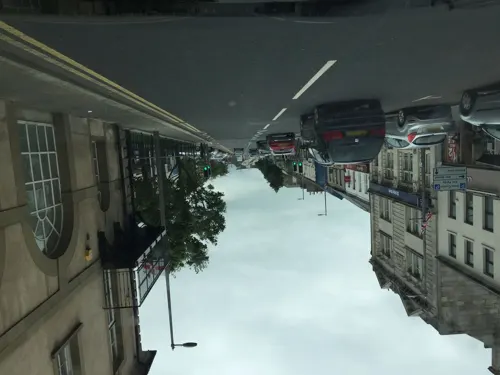
Ards Arts Centre
Museum
The Arts Service of Ards and North Down Borough Council provides an extensive programme of arts events, creative classes and workshops,...
Conway Square, Newtownards

Priory of Saint Columba
Monument and historic site
Founded by Walter De Burgh, Earl of Ulster. A monastery of the Dominican or 'Black' Friars. In ruins but in State care.
Court Street, Newtownards

Scrabo Railway Bridge
Monument and historic site · 1.3 mi
The public path ends at the western face of the bridge, beyond that is privaete property ( incuding the bridge itself ).
13 more on the map.
Parks, trails and playgrounds9




Restaurants and cafes34
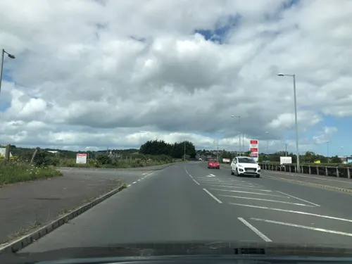
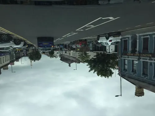



The Spirit Merchant
Bar and pub · 0.4 mi
54-56 Regent Street, Newtownards
Mo,Tu,We,Th,Su 08:00-24:00; Fr,Sa 08:00-25:00

TLC Coffee House
Cafe · Coffee Shop, Tea · 0.8 mi
Mo-Sa 08:00-17:00; We-Fr 17:00-22:00


22 more on the map.
History
In 540 AD, St. Finian founded Movilla Abbey, a monastery, on a hill overlooking Strangford Lough about a mile northeast of present-day Newtownards town centre. "Movilla" (Magh Bhile) means "the plain of the sacred tree" in Irish, which suggests that the land had previously been a sacred pagan site. It became a significant Christian settlement – a centre for worship, study, mission and commercial trade, well known throughout Ireland. It was sacked by the Vikings sometime after AD 824, though survived for a thousand years as a monastic settlement (becoming part of the Augustinian Order in 1135), until the dissolution of the monasteries in 1542.
The Normans conquered east Ulster in the 1170s, founding the Earldom of Ulster. Around 1226, they established a new town around Movilla, which became known as the "New Town of Blathewic", after the Irish territory of Uí Blathmhaic. A Dominican priory was built in 1244 by Walter de Burgh and was also dissolved in 1542.
In 1572, both monasteries were burned by the Clannaboy O'Neills under Sir Brian McPhelim O'Neill to deny buildings to the English, who were attempting to colonize the Ards. After this the urban settlement at Movilla disappeared and the area around it became known as "Ballylisnevin" ("the town of Nevin's fort").
Read more of the history
In 1605 (prior to the official Plantation of Ulster in 1610), Hugh Montgomery was granted the lands and set about rebuilding what was by then known as Newtown, later expanded to Newtownards. Official records show the town was established in 1606. Montgomery built a residence in the ruins of the old priory, the tower of which remains. Scottish Protestant settlers, particularly from Ayr, and to a lesser extent Irvine, in Ayrshire, arrived in large numbers and the town grew quickly.
Due to the shallow mud of Strangford Lough, Newtown never developed as a port, with goods instead transported from the nearby town of Donaghadee on the Irish Sea coast of the Ards Peninsula. Instead, it became a market town, with the Market House in Conway Square constructed in 1771.
North Down and the Ards were briefly held by United Irish insurgents in the Irish Rebellion of 1798. On the morning of 9 June, "Pike Sunday", United Irishmen, mainly from Bangor, Donaghadee, Greyabbey and Ballywalter, under the command of the Presbyterian licentiate (later American diplomat) David Bailie Warden, marched on the town. They were driven off with musket fire from the Market House, but the garrison, consisting of troops from the York Fencible Regiment of Foot subsequently withdrew, allowing the rebels to establish a French revolutionary-style Committee of Public Safety. The "Republic" in Newtownards did not survive the rout two days later of the main rebel force at Ballynahinch.
During the Great Famine, which resulted from the dependence of small tenants and cottiers on a blighted potato crop, the largest local landowner, Lord Londonderry, rejected the call for rent reductions on grounds of "personal inconvenience". By 1847 the 800 inhabitants of the town were witness to "emaciated and half-famished souls" queuing at soup kitchens and overflowing the newly built workhouse. Despite Lord Londonderry's objection, several public works programs for famine relief were initiated beginning with the upgrading of the road to Donaghadee. In general, with tenant holdings not as acutely subdivided as in western districts of Ireland, and with the availability of weaving and other employments, the town was saved from the worst.
The early 19th century saw the reclamation of the marshlands south of the town. At the same time, its growth was accelerated by integration into the Belfast and Lagan Valley industrial region and market. The Belfast and County Down Railway connected Newtownards to Belfast, via Comber and Dundonald, in 1850 (closed in 1950), and to Donaghadee in 1861. By the same year, the town's population had risen to 9,500. On 12 July 1867, despite the Party Processions Acts, the Orange Order paraded from Bangor to Newtownards. The parade, in which upwards of 30,000 took part, led to the short-term imprisonment of its principal organiser William Johnston, and to his subsequent election as an MP for Belfast.
As the nineteenth century progressed the economy became increasingly tied to the growth of Belfast. From mid-20th century it increasingly became a commuter town. Newtownards' population reached 13,100 in 1961 and had doubled to 28,000 by 2011.
During the Troubles, Newtownards was the scene of a car bomb attack on 5 July 1993, when Roma's Bar in Regent Street was targeted. The pub was destroyed, but has since been rebuilt. The attack was carried out by the Provisional Irish Republican Army (PIRA) with a 700 kg (1,500 lb) device. There were no fatalities. Police said the 10-minute warning, telephoned to a local radio station, was "totally inadequate." The warning said the bomb contained 1,500 pounds of explosives.
On 1 November 2021, a bus in the town was hijacked and set on fire by two masked assailants allegedly protesting the Northern Ireland Protocol.
From the History section of Newtownards on Wikipedia, under CC BY-SA 4.0.
Notable people from Newtownards
 Rhys McClenaghanIrish artistic gymnast (1999-)Photo: Norman Seibert, CC BY-SA 4.0
 Martyn IrvineIrish racing cyclistPhoto: Nicola, CC BY-SA 4.0
 Ricky WarwickNorthern Irish singer and guitaristPhoto: Velvet8772, CC BY 4.0
 Steven KaneNorthern Irish racing driverPhoto: Robk23oxf, CC BY-SA 3.0
 H. B. HigginsAustralian politician (1851–1929)Photo: John Hubert Newman, Public domain
 Kerry O'FlahertyIrish athletePhoto: C messier, CC BY-SA 4.0
 Josh DohertyNorthern Irish association football player (born 1996)Photo: SFletcher06, CC BY-SA 4.0
 Alan FettisNorthern Irish footballer and coach (born 1971)Photo: Timmy96, CC0
- Eddie IrvineBritish racecar driver
- Paddy MayneBritish Soldier (1915-1955)
- Muriel DayIrish singer
- Christine BleakleyNI television presenter


Born in Newtownards, according to Wikidata (CC0). Each name links to its Wikipedia article.
Where to stay1
Churches and places of worship26
Newtownards Reformed Presbyterian Church
Church · Presbyterian
Regent Street, Newtownards
2nd Newtownards Presbyterian Church
Church · Presbyterian
Mary Street, Newtownards
Greenwell Street Presbyterian Church
Church · Presbyterian
Greenwell Street, Newtownards
Movilla Presbyterian Church
Church · Presbyterian · 1.2 mi
Movilla Road, Newtownards
Shopping15
Gas and EV charging11
Schools, colleges and libraries13
West Winds Primary School and Nursery Unit
School · 0.9 mi
Sunderland Park, Newtownards
South Eastern Regional College (Newtownards Campus)
School · 0.4 mi
Victoria Avenue, Newtownards
Healthcare9
Map of Newtownards
147 places. The map loads OpenStreetMap tiles when you open it.
Getting there and nearby towns
George Best Belfast City Airport (BHD) is the nearest airport with scheduled flights listed in OpenStreetMap, 7 miles away.
- Comber 4 mi southwest, about 6 min by car
- Dundonald 4 mi west, about 7 min by car
- Bangor 5 mi north, about 8 min by car
- Holywood 6 mi northwest, about 10 min by car
- Donaghadee 7 mi northeast, about 11 min by car
- Millisle 7 mi east, about 10 min by car
- Greyabbey 7 mi southeast, about 11 min by car
- Castlereagh 8 mi west, about 13 min by car
- Belfast 9 mi west, about 15 min by car
- Portadown 32 mi west, about 52 min by car
Drive times are estimates from straight-line distance, not routes.
Keep exploring
Local news
Headlines from INDB.
Reviews, tips and questions
Loading what members have shared...
Sources and licences
- GeoNames (CC BY 4.0): population, coordinates, regions and time zone
- Mapillary (see each image): photos
- OpenStreetMap contributors (ODbL 1.0): places, airports, map data
- Wikidata (CC0 1.0): elevation, founding date, time zone, website, landmarks and historic places
- Wikimedia Commons (see each image): photos
- Wikipedia (CC BY-SA 4.0): overview and history text
Photo credits
- CIMG1481 ScraboViewNewtownardsTown, Guliolopez ( Wikipedia:en:User:Guliolopez ), CC BY-SA 3.0
- Scrabo - Scrabo Tower (Londonderry Monument) - 20240820110149, Elkay62, CC BY-SA 4.0
- Secretary of State visits the Somme Heritage Centre in Newtownards. (45119406404), Northern Ireland Office, CC BY 2.0
- When is a cross not a cross - Flickr - National Library of Ireland on The Commons, National Library of Ireland on The Commons, No restrictions
- Northern Ireland - Scrabo Tower (londonderry Monument) Scrabo Hill Scrabo Newtownards Co Down Bt23 - 20200905132714, Dieglop, CC BY-SA 4.0
- Street-level photo, laye, CC BY-SA 4.0
- Street-level photo, laye, CC BY-SA 4.0
- Street-level photo, laye, CC BY-SA 4.0
- Street-level photo, laye, CC BY-SA 4.0
- Street-level photo, laye, CC BY-SA 4.0
- Street-level photo, laye, CC BY-SA 4.0
- Street-level photo, laye, CC BY-SA 4.0
- Street-level photo, laye, CC BY-SA 4.0
- Street-level photo, laye, CC BY-SA 4.0
- Street-level photo, laye, CC BY-SA 4.0
- Street-level photo, laye, CC BY-SA 4.0
- Street-level photo, laye, CC BY-SA 4.0
Page built November 10, 2026. Spotted a mistake? Tell us or suggest a place.