


Portadown, United Kingdom
Portadown is a town of 32,926 people in Northern Ireland, United Kingdom.
Why visit Portadown
Townapedia lists 2 museums and landmarks, 5 parks and trails, 41 places to eat, 1 place to stay and 3 attractions in and around town.
Highlights include Town Hall Theatre, Portadown and Portadown Football Club.
Weather in Portadown
Forecast from MET Norway (CC BY 4.0). Full forecast
About Portadown
Portadown (From Irish: Port an Dúnáin, 'landing place of the little fort' pronounced [pɔɾˠt̪ˠ ə ˈd̪ˠuːnˠaːnʲ]) is a town in County Armagh, Northern Ireland. The town stands on the River Bann in the north of the county, about 24 miles (39 km) southwest of Belfast. It is in the Armagh City, Banbridge and Craigavon Borough Council area and had a population of about 22,000 at the 2021 Census. For some purposes, Portadown is treated as part of the "Craigavon Urban Area", alongside Craigavon and Lurgan.
From the Wikipedia article Portadown (this version), under CC BY-SA 4.0.
Travel tips from other travellers: Portadown on Wikivoyage (CC BY-SA 4.0).
Things to do3

Town Hall Theatre, Portadown
Cinema and theater
Town hall in Portadown, County Armagh, Northern Ireland
Museums and landmarks2


Parks, trails and playgrounds5


Restaurants and cafes41
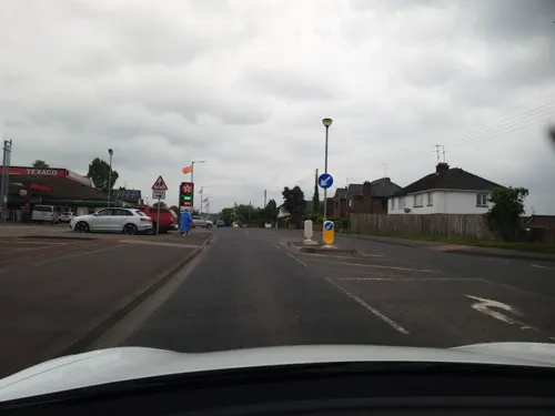
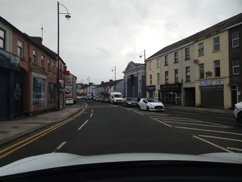
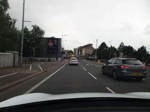
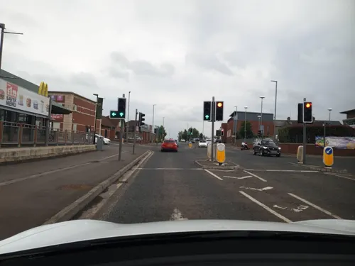






29 more on the map.
History
At the beginning of the 1600s, this area was within the district of Clancann (Clann Chana), which was part of the larger territory of Oneilland (Uí Nialláin). This district was named after the dominant local clan—the McCanns (Mac Cana)—who had occupied the area since before the 13th century. The McCanns were then a vassal sept of the O'Neills (Uí Néill). On the eastern banks of the River Bann was the district of Clanbrasil (Clann Bhreasail).
The town's name comes from the Irish Port a' Dúnáin (or, more formally, Port an Dúnáin), meaning the port or landing place of the small fort. This was likely a fort of the McCanns.
From 1594 until 1603, the O'Neills and an alliance of other clans fought in the Nine Years' War against the English Tudor conquest of Ireland. This ended in defeat for the Irish clans, and the Crown seized and redistributed much of their land.
In 1608, King James VI and I began the Plantation of Ulster – the organised colonisation of the region by Protestant settlers from Britain, known as 'planters'.
Read more of the history
In 1610, as part of the Plantation, the lands of Portadown were granted to William Powell. In 1611, he sold his grant of land to Reverend Richard Rolleston, who in turn sold it in two portions to Richard Cope and Michael Obins. Obins built a large Elizabethan-style mansion for himself and his family, and a number of houses nearby for English tenants. This mansion was in the area of the present-day Woodside estate.
The present-day People's Park was part of its grounds. The park is now bounded on either side by Obins Street and Castle Street, both of which are references to "Obins' Castle". In 1631, Obins was granted a licence for a "fair and market". He built the first bridge across the River Bann shortly thereafter.
During the Irish Rebellion of 1641, Obins Castle was captured by a force of dispossessed Irish led by the McCanns, Magennises and O'Neills. In November 1641, Irish rebels—likely under the command of Toole McCann—killed about 100 captured British settlers by forcing them off the Bann bridge and shooting those who swam ashore.
This was one of the worst atrocities of the rebellion. It fuelled revenge killings by the English during the conflict that followed and was used to justify the Cromwellian conquest of Ireland. The Irish Confederate troops abandoned Obins Castle during the Cromwellian conquest. Hamlet Obins (who had survived its capture) repossessed it in 1652. It was later passed to his son, Anthony Obins.
In 1741, Anthony Obins was involved with development of the Newry Canal. He was succeeded by Michael Obins in 1750. The latter set up a linen market in Portadown in 1762, which laid the foundations of Portadown's major industry.
Michael Obins died in 1798 and left a son, Michael Eyre Obins, to succeed him. In 1814, Eyre Obins took holy orders; he sold the estate to the Sparrow family of Tandragee.
George Montagu, 6th Duke of Manchester (known as Viscount Mandeville) married Millicent Sparrow in 1822 and came into possession of the estate. This family's legacy in the town includes such street names as Montagu Street, Millicent Crescent and Mandeville Street, and buildings such as the Fergus Hall (formerly the Duke's School and Church Street PS), and the Carleton Home. (Formerly the Duke's townhouse, this was later used as a maternity hospital/nurses accommodation. It has since been adapted as private apartments).
The Blacker family, descended from Danes who had invaded and settled in Ireland in the 9th century, founded an estate at Carrick, on the Portadown–Gilford road. The land had been bought by Colonel Valentine Blacker from Sir Anthony Cope of Loughgall. It became known as Carrickblacker, and is now the site of Portadown Golf Club. One of the notables in the Blacker family, Colonel William Blacker, High Sheriff of Armagh, took part in the "Battle of the Diamond" and was a founding member of the Orange Order. In August 1796, Portadown District LOL No. 1 was formed, becoming the first Orange District.
This, and subsequent events such as the founding of a 'provisional' Grand Lodge in the town after the 'voluntary' dissolution of the Order in 1825, led to the town being known as 'The Orange Citadel'. It was a center of sectarian strife for two centuries. Many of the Blacker family were soldiers or churchmen. The family estate was purchased in 1937 by Portadown Golf Club. In 1988 the club demolished Carrickblacker House to make way for a new clubhouse.
A large prisoner-of-war (POW) camp was built at Portadown during World War II. It was at the site of a former sports facility on what was then the western edge of town. This area is now covered by housing from Fitzroy Street and the Brownstown Estates. The camp housed (mostly) German POWs. For a time these POWs were guarded by Welsh servicemen (known as "Bluecaps") who had been transferred from assignments with troops in Germany. They were billeted at St Patrick's Hall in Thomas Street.
The local newspaper carried a story of another POW camp, adjacent to Killicomaine Castle (also known as Irwin's Castle), in what was then known as "Cullen's Lane" but is now called "Princess Way". That area was later part of the Killicomaine estate, housing built in 1954 and largely contemporary with other estates built by the then Portadown Borough Council and the former Northern Ireland Housing Trust (now called the Northern Ireland Housing Executive).
A third camp was built on the Carrickblacker estate towards the end of World War II, possibly as an overflow for the nearby Elmfield Camp in Gilford. It was used as accommodation for Allied troops and no Axis POWs were ever imprisoned there.
In 2005, a public air-raid shelter was uncovered during excavation works near the riverbank just outside the town centre. One of ten built by the council during World War II, it is one of only two now remaining. The other is at the new roundabout on the Gilford Road. These are rare examples of public air raid shelters in Northern Ireland.
From the History section of Portadown on Wikipedia, under CC BY-SA 4.0.
More about Portadown
Geography
Portadown is located in a relatively flat part of Northern Ireland, near the southern shore of Lough Neagh. Two small wetland areas are on the outskirts of the town; one at Selshion in the west and another at Annagh in the south. The Ballybay River flows into the town from the west before joining the River Bann.
Most of the town is built on the western side of the River Bann, which supported its industry and prosperity. Construction in 1740 of the Newry Canal (linking Carlingford Lough with Lough Neagh) enabled Portadown to become a hub for the water traffic between Newry and Belfast.
There are three bridges across the river at Portadown. Bridge Street and Northway are both road bridges, and there is a railway bridge beside the Northway. The 'Bann Bridge' on Bridge Street is the oldest. It was unusual in that it was built over dry earth. After the bridge was completed, the course of the River Bann was diverted by some 100 yards to straighten a meander and run under the bridge. The old riverbed was then built upon.
In the 21st century, an archaeological dig in the area of the old riverbed uncovered the bones of some of those who were drowned in the 1641 massacre in the town.
Economy
Irwin's Bakery was established in 1912 as a grocery retailer by William David Irwin, grandfather of the existing joint managing directors. It expanded into Great Britain and the Republic of Ireland in the 1980s.
Wade (Ireland) Ltd. Wade Ceramics had a substantial plant in Portadown in Watson Street, Edenderry, adjacent to the Victorian Railway Station. The factory closed in 2002.
Ulster Carpets Ltd was established in the town in 1938 and was the major employer producing woolen Axminster.
Henry Denny & Sons (NI) Ltd. meat processors were originally established in Obins Street. It moved to Corcrain after being acquired in 1982 by the Kerry Group.
Much of the town's industry in the 19th and 20th centuries was centred on the linen trade. The 1881 edition of Slater's Directory (a comprehensive listing of Irish towns) listed 15 manufacturing employers in Portadown at that time.
Education
Portadown has (or had) a large selection of academic institutions, past and present. Today, schools in Portadown operate under the Dickson Plan, a transfer system in north Armagh that allows pupils at age 11 the option of taking the 11-plus exam to enter grammar schools. Pupils in comprehensive junior high schools are sorted into grammar and non-grammar streams. Pupils can get promoted to or demoted from the grammar stream during their time in those schools, depending on the development of their academic performance. At age 14 they can take subject-based exams across the syllabus to qualify for entry into a dedicated grammar school to pursue GCSEs and A-levels.
The state-run Thomas Street Primary School, and Church Street Primary School, formerly the "Duke's School", were both incorporated into Millington Primary School in 1970. Other state-run primary schools include Ballyoran Primary School, Bocombra Primary School, Edenderry Primary School, Hart Memorial Primary School, Moyallan Primary School, Portadown Primary School, Richmount Primary School, and the Anglican Seagoe Primary School. Derrycarne Primary School is now used as an Orange Hall by the Orange Order.
From the Wikipedia article Portadown, under CC BY-SA 4.0.
Notable people from Portadown
 Michael O'NeillNorthern Irish association football manager (born 1969)Photo: Tadeáš Bednarz, CC BY-SA 4.0
 Paul MuldoonIrish poet (born 1951)Photo: Elmoledro, CC BY-SA 4.0
 Adam CarrollBritish racing driverPhoto: Mustangnick78, Public domain
 Sir Robert Hart, 1st BaronetBritish consular official in China (1835–1911)Photo: Bain News Service, publisher, Public domain
 Stephen FerrisIrish rugby union playerPhoto: National Lottery Good Causes, CC BY 3.0
 Gloria HunnifordNorthern Irish television and radio presenter and singerPhoto: Bosents, CC BY-SA 4.0
 Phillip McCallenBritish motorcycle racerPhoto: Christof Berger, CC BY-SA 3.0
- Luke McCulloughNorthern Irish footballer (born 1994)
- Les BinksNorthern Irish drummer
- John O'HanlonIrish chess master (1876-1960)
- Keith RowlandNorthern Irish footballer (born 1971)
- Aaron McCuskerNorthern Irish actor (born 1978)


Born in Portadown, according to Wikidata (CC0). Each name links to its Wikipedia article.
Where to stay1
Churches and places of worship20
St John the Baptist Church
Church · Roman Catholic · 1.0 mi
Garvaghy Road, Portadown
First Portadown Presbyterian Church
Church · Presbyterian · 0.4 mi
Watson Street, Portadown
Saint Columba's Parish Church
Church · Anglican · 0.6 mi
Loughgall Road, Craigavon
Shopping10
Gas and EV charging9
Schools, colleges and libraries16
Presentation Primary School
School · Roman Catholic · 0.4 mi
Thomas Street, Portadown
St John the Baptist College
School · Roman Catholic · 0.9 mi
4 Moy Road, Portadown
St John the Baptist Primary School
School · Roman Catholic · 1.0 mi
250 Garvaghy Road, Portadown
Healthcare4
Map of Portadown
111 places. The map loads OpenStreetMap tiles when you open it.
Getting there and nearby towns
Belfast International Airport (BFS) is the nearest airport with scheduled flights listed in OpenStreetMap, 19 miles away.
- Craigavon 3 mi northeast, about 5 min by car
- Tandragee 5 mi south, about 8 min by car
- Gilford 5 mi southeast, about 8 min by car
- Waringstown 6 mi east, about 9 min by car
- Lawrencetown 6 mi southeast, about 10 min by car
- Donaghcloney 7 mi east, about 12 min by car
- Banbridge 8 mi southeast, about 13 min by car
- Magheralin 8 mi east, about 13 min by car
- Belfast 24 mi northeast, about 39 min by car
- Strabane 49 mi northwest, about 1 h 15 min by car
Drive times are estimates from straight-line distance, not routes.
Keep exploring
Local news
Headlines from INDB.
Reviews, tips and questions
Loading what members have shared...
Sources and licences
- GeoNames (CC BY 4.0): population, coordinates, regions and time zone
- Mapillary (see each image): photos
- OpenStreetMap contributors (ODbL 1.0): places, airports, map data
- Wikidata (CC0 1.0): elevation, founding date, time zone, website, landmarks and historic places
- Wikimedia Commons (see each image): photos
- Wikipedia (CC BY-SA 4.0): overview and history text
Photo credits
- Drumcree Church 2018-07-26 - 1, August Schwerdfeger, CC BY 4.0
- ShamrockParkSep089, Pfcfan, Public domain
- Drumcree Church 2018-07-26 - 2, August Schwerdfeger, CC BY 4.0
- Sticking up posters on the gate piers of Portadown Railway Station, National Library of Ireland on The Commons, Public domain
- Street-level photo, yannakis, CC BY-SA 4.0
- Street-level photo, yannakis, CC BY-SA 4.0
- Street-level photo, bct, CC BY-SA 4.0
- Street-level photo, yannakis, CC BY-SA 4.0
- Street-level photo, yannakis, CC BY-SA 4.0
- Street-level photo, bct, CC BY-SA 4.0
- Street-level photo, bct, CC BY-SA 4.0
- Street-level photo, yannakis, CC BY-SA 4.0
- Street-level photo, yannakis, CC BY-SA 4.0
- Street-level photo, yannakis, CC BY-SA 4.0
- Street-level photo, yannakis, CC BY-SA 4.0
- Street-level photo, yannakis, CC BY-SA 4.0
- Street-level photo, bct, CC BY-SA 4.0
- Street-level photo, yannakis, CC BY-SA 4.0
- Street-level photo, yannakis, CC BY-SA 4.0
Page built November 10, 2026. Spotted a mistake? Tell us or suggest a place.