

Omagh, United Kingdom
Omagh is a town of 21,056 people in Northern Ireland, United Kingdom.
Why visit Omagh
Townapedia lists 5 museums and landmarks, 6 parks and trails, 26 places to eat, 1 place to stay and 1 attraction in and around town.
Highlights include Omniplex, Strule Arts Centre and Healy Park.
Weather in Omagh
Forecast from MET Norway (CC BY 4.0). Full forecast
About Omagh
Omagh (; from Irish: An Ómaigh [ənˠ ˈoːmˠiː], meaning 'the virgin plain') is the county town of County Tyrone, Northern Ireland. It is situated where the rivers Drumragh and Camowen meet to form the Strule. Northern Ireland's capital city, Belfast, is 68 miles (109.5 km) to the east of Omagh, and Derry is 34 miles (55 km) to the north.
From the Wikipedia article Omagh (this version), under CC BY-SA 4.0.
Travel tips from other travellers: Omagh on Wikivoyage (CC BY-SA 4.0).
Things to do1
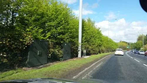
Museums and landmarks5
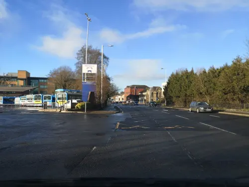


Parks, trails and playgrounds6



Restaurants and cafes26
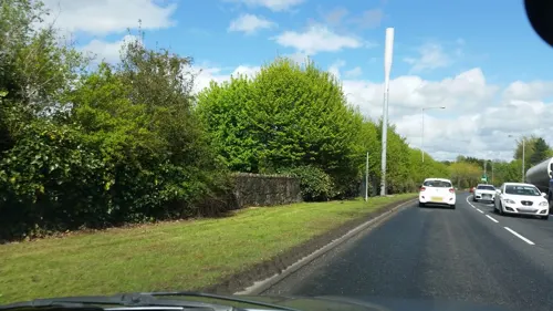
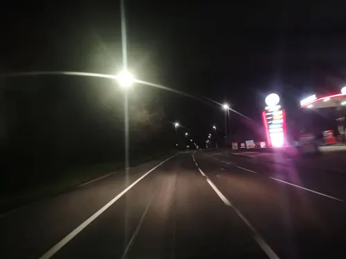
Culmore Diner
Restaurant · Regional · 0.9 mi
51 Dromore Road, Omagh
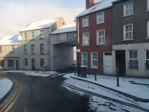
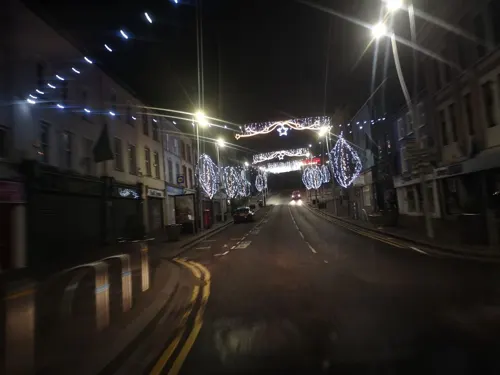
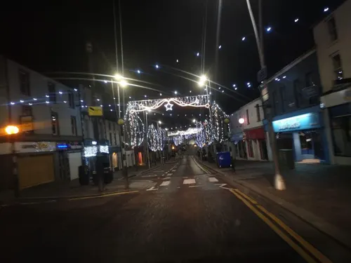




14 more on the map.
History
The name Omagh is an anglicisation of the Irish name An Óghmaigh (modern Irish An Ómaigh), meaning "the virgin plain". A monastery was apparently established on the site of the town about 792, and a Franciscan friary was founded in 1464. Omagh was founded as a town in 1610. It served as a refuge for fugitives from the east of County Tyrone during the 1641 Rebellion. In 1689, James II arrived at Omagh, en route to Derry. Supporters of William III, Prince of Orange, later burned the town.
In 1768, Omagh replaced Dungannon as the county town of County Tyrone. Omagh acquired railway links to Londonderry with the Londonderry and Enniskillen Railway in 1852, Enniskillen in 1853 and Belfast in 1861. St Lucia Barracks were completed in 1881. In 1899, Tyrone County Hospital was opened. The Government of Northern Ireland made the Great Northern Railway Board close the Omagh – Enniskillen railway line in 1957. In accordance with the Benson Report submitted to the Northern Ireland Government in 1963, the Ulster Transport Authority closed the Portadown – Omagh – Londonderry main line in 1965, leaving Tyrone with no rail service. St Lucia Barracks closed in August 2007.
Read more of the history
On 30 December 1942, a Consolidated Catalina Ib of No. 240 Squadron RAF that was operating from RAF Killadeas crashed into the town. The crash killed all eleven occupants, however no one on the ground was killed or injured. The cause of the crash was never ascertained.
Omagh Town Hall, which opened on 29 September 1915, hosted a number of notable performers, including the actors Anew McMaster, Micheál Mac Liammóir and Jimmy O'Dea, before it was demolished to make way for the Strule Arts Centre in 1997.
Omagh became the focus of international media attention when, on 15 August 1998, the Real Irish Republican Army exploded a car bomb in the town centre. 29 people were killed in the blast – 14 women (including one pregnant with twins), 9 children and 6 men. Hundreds more were injured as a result of the blast.
In April 2011, a car bomb killed police constable Ronan Kerr. A group of former Provisional IRA members calling itself the Irish Republican Army made its first public statement later that month claiming responsibility for the killing.
In February 2023, an off-duty senior police officer was shot and critically injured at a sports complex in the town. Police stated they were focusing on the New IRA.
From the History section of Omagh on Wikipedia, under CC BY-SA 4.0.
More about Omagh
Geography
Omagh has a history of flooding and suffered major floods in 1909, 1929, 1954, 1969, 1987, 1999 and, most recently, 12 June 2007. Flood-walls have been built to keep the water in the channel (River Strule) and to prevent it from overflowing into the flood plain. Large areas of land, mainly around the meanders, are unsuitable for development and were developed into large, green open areas, walking routes and parks. The Köppen Climate Classification subtype for this climate is "Cfb" (Marine West Coast Climate/Oceanic climate).
The central urban area south of River Strule forms the townland of Omagh in the civil parish of Drumragh, the adjacent area north of the river forms the townland of Lisnamllard in the civil parish of Cappagh (Upper Strabane portion).
Both civil parishes comprise also outskirts of Omagh and some surrounding countryside.
The town sprang up within the townland of Omagh, in the parish of Drumragh. Over time, the urban area has spread into the surrounding townlands. They include:
Coolnagard Lower, Coolnagard Upper (from Irish Cúil na gCeard 'nook/corner of the craftsmen' or from Irish Cúl na gCeard 'hill-back of the craftsmen')
Dergmoney Lower, Dergmoney Upper (from Irish Deargmhuine 'red thicket')
Gortrush (from Irish Gort an Rois 'field of the wood or promontory')
Killyclogher (from Irish Coillidh Chlochair 'wood of the stony place')
Economy
Omagh is the main retail centre for Tyrone, as well as the West of Ulster (behind Derry and Letterkenny), due to its central location. In the period 2000–2003, over £80 million was invested in Omagh, and 60,960 m2 (656,200 ft2) of new retail space was created. Shopping areas in Omagh include the Main Street, Great Northern Road Retail Park and the Showgrounds Retail Park on Sedan Avenue in the town centre. Market Street/High Street is also a prominent shopping street, which includes high street stores such as DV8 and Primark.
Strule Arts Centre is an example of urban renewal in Omagh town centre. Opened in 2007, this civic building is located in a newly created public space which was reclaimed from a formerly disused area between the River Strule and High Street.
The Mid Ulster Film Festival, established in 2004, took place in Omagh until its cancellation in 2010.
The Ulster American Folk Park, near Omagh, includes the cottage where Thomas Mellon was born (in 1813) before his family emigrated to Pennsylvania in the United States. His son, Andrew W. Mellon, became secretary of the US Treasury. The park is an open-air museum that explores the journey made by the Irish (specifically those from Ulster) to America during the 1800s. The park is used to host seasonal events and also hosts a Bluegrass festival every year. Over 127,000 people visited the park in 2003.
Education
Omagh has a number of educational institutions at different levels. These include at least 10 primary schools.
The town was previously the headquarters of the Western Education and Library Board (WELB), located at Campsie House on the Hospital Road, before all local education boards in Northern Ireland were combined into the Education Authority in 2015.
Grammar and secondary schools in the area include Christian Brothers Grammar School, Drumragh Integrated College, Loreto Grammar School, Omagh Academy, Omagh High School and Sacred Heart College.
The Department for Education proposed to co-locate Omagh's six existing secondary schools on the former 190-acre St Lucia Army Barracks, as one large shared educational campus. In April 2009, at the inaugural Lisanelly Shared Educational Campus Steering Group meeting held in Arvalee School and Resource Centre, the Education Minister, Caitríona Ruane announced that funding had been allocated for exemplar designs and associated technical work for a shared educational campus. The construction was expected to cost in excess of £120 million. As of March 2022, the shared education campus was scheduled to open in 2026.
A campus of South West College, known until 2007 as the Omagh College of Further Education, is located in the town centre.
From the Wikipedia article Omagh, under CC BY-SA 4.0.
Notable people from Omagh
 Sam NeillNew Zealand actor (1947–2026)Photo: sean.koo, CC BY-SA 2.0
 Linda MartinNorthern Irish singerPhoto: Albin Olsson, CC BY-SA 3.0
 Gerald Grosvenor, 6th Duke of WestminsterBritish billionaire landowner, businessman and Territorial Army officer (1951-2016)Photo: Allan warren, CC BY-SA 3.0
 Kieran DonaghyIrish basketball player (born 1983)Photo: DaHuzyBru, CC BY-SA 4.0
 Hugh HamiltonBritish racing driver (1905–1934)Photo: neznámý (unknown), CC BY 4.0
 Patrick McAlinneyactor (1913-1990)Photo: TV episode screenshot (ABC), Public domain
- Brian FrielIrish dramatist, author and theatre director (1929–2015)
- Vicky FordBritish politician (born 1967)
- Gerard McSorleyIrish actor
- David BatesIrish Physicist (1916-1994)
- Francis Dominic MurnaghanIrish mathematician (1893-1976)
- Jimmy KennedyNorthern Irish songwriter, lyricist (1902-1984)


Born in Omagh, according to Wikidata (CC0). Each name links to its Wikipedia article.
Where to stay1
Churches and places of worship7
Omagh Evangelical Presbyterian Church
Church · Evangelical Presbyterian · 0.7 mi
27 Old Mountfield Road, Omagh
Omagh Independent Methodist Church
Church · Methodist · 0.9 mi
Queen's Parade, Omagh
Shopping16
Gas and EV charging6
Schools, colleges and libraries16
St Mary's Primary School
School · Roman Catholic · 1.4 mi
122 Old Mountfield Road, Omagh
St Conor's Primary School
School · Roman Catholic · 1.1 mi
109 Brookmount Road, Omagh
Healthcare5
Map of Omagh
89 places. The map loads OpenStreetMap tiles when you open it.
Getting there and nearby towns
Enniskillen Airport (ENK) is the nearest airport with scheduled flights listed in OpenStreetMap, 20 miles away.
- Fintona 7 mi south, about 11 min by car
- Dromore 9 mi southwest, about 14 min by car
- Newtownstewart 9 mi north, about 14 min by car
- Castlederg 14 mi northwest, about 22 min by car
- Ballygawley 14 mi southeast, about 23 min by car
- Sion Mills 15 mi northwest, about 24 min by car
- Fivemiletown 15 mi south, about 24 min by car
- Irvinestown 16 mi southwest, about 26 min by car
- Strabane 17 mi northwest, about 27 min by car
- Portadown 36 mi east, about 59 min by car
Drive times are estimates from straight-line distance, not routes.
Keep exploring
Local news
Headlines from INDB.
Reviews, tips and questions
Loading what members have shared...
Sources and licences
- GeoNames (CC BY 4.0): population, coordinates, regions and time zone
- Mapillary (see each image): photos
- OpenStreetMap contributors (ODbL 1.0): places, airports, map data
- Wikidata (CC0 1.0): elevation, founding date, time zone, website, landmarks and historic places
- Wikimedia Commons (see each image): photos
- Wikipedia (CC BY-SA 4.0): overview and history text
Photo credits
- Healy Park, Omagh, Gordondunn at English Wikipedia, CC BY-SA 3.0
- Street-level photo, g360tours, CC BY-SA 4.0
- Street-level photo, g360tours, CC BY-SA 4.0
- Street-level photo, mcda, CC BY-SA 4.0
- Street-level photo, mcda, CC BY-SA 4.0
- Street-level photo, g360tours, CC BY-SA 4.0
- Street-level photo, g360tours, CC BY-SA 4.0
- Street-level photo, g360tours, CC BY-SA 4.0
- Street-level photo, g360tours, CC BY-SA 4.0
- Street-level photo, g360tours, CC BY-SA 4.0
- Street-level photo, g360tours, CC BY-SA 4.0
- Street-level photo, g360tours, CC BY-SA 4.0
- Street-level photo, g360tours, CC BY-SA 4.0
- Street-level photo, g360tours, CC BY-SA 4.0
- Street-level photo, g360tours, CC BY-SA 4.0
- Street-level photo, g360tours, CC BY-SA 4.0
- Street-level photo, g360tours, CC BY-SA 4.0
- Street-level photo, g360tours, CC BY-SA 4.0
- Street-level photo, g360tours, CC BY-SA 4.0
Page built November 10, 2026. Spotted a mistake? Tell us or suggest a place.