


Why visit Takeley
Townapedia lists 4 museums and landmarks, 1 park or trail, 27 places to eat and 8 places to stay in and around town.
Highlights include Stane Street and Dunmow Road.
Weather in Takeley
Forecast from MET Norway (CC BY 4.0). Full forecast
About Takeley
Takeley is a village and civil parish in the Uttlesford district of Essex, England. It lies 4 miles (6 km) east of Bishop's Stortford, its post town, which is over the county boundary in Hertfordshire. The parish includes part of London Stansted Airport within its boundaries.
From the Wikipedia article Takeley (this version), under CC BY-SA 4.0.
Museums and landmarks4

Stane Street
Monument and historic site · 0.9 mi
Former platform has been preserved
Parks, trails and playgrounds1

Restaurants and cafes27
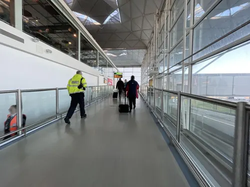

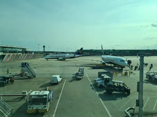
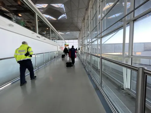



15 more on the map.
Where to stay8


History
A number of theories have arisen over the origin of the village's name. One believes the village's name was a corruption from the "Teg-Ley" of sheep clearing. Another theory is that Takeley is derived from the Saxon lord Taecca, who owned land in Essex and Oxfordshire, the latter of which has a village named Tackley. In more recent times, Takeley is thought to have derived from "settlement next to open forest" in reference to the Forest of Essex.
When Takeley was first recorded by the Normans in 1086–87 its boundaries were approximately 8 miles (13 km) in length, with a total area of 3,000 acres (12 km2).
Takeley parish church, dating from the 12th century, is dedicated to the Holy Trinity, and was Grade I listed by English Heritage in 1967.
The hamlet of Cooper's End was demolished to make way for the cargo area of Stansted Airport. Cooper's End roundabout was constructed as part of the new airport, and is just west of the terminal. The airport's main passenger facilities, including Stansted Airport railway station, lie within the parish of Takeley.
From the History section of Takeley on Wikipedia, under CC BY-SA 4.0.
More about Takeley
Geography
The village is situated approximately halfway between Bishop's Stortford and Great Dunmow, and on Stane Street, the Roman road from Braughing to Colchester. The A120 road and Stansted Airport is at the north.
Takeley consists of a number of 'Ends' and 'Greens', namely Brewer's End (John le Brewer, 1327), The Street, Smith's Green, Bamber's Green (Bambrose Green, from the Banbury family at Sheering Hall), Molehill Green (Morrell's Green), and Mill End.
The Office for National Statistics defines a built up area called "Takeley and Little Canfield" which covers Takeley village and extends into the neighbouring parish of Little Canfield. At the 2021 census, this built up area had a population of 5,550. In 2021 the parish had a population of 5,331.
From the Wikipedia article Takeley, under CC BY-SA 4.0.
Churches and places of worship4
Shopping8
Gas and EV charging2
Schools, colleges and libraries2
Map of Takeley
56 places. The map loads OpenStreetMap tiles when you open it.
Getting there and nearby towns
London Stansted Airport (STN) is the nearest airport with scheduled flights listed in OpenStreetMap, 1 miles away.
- Elsenham 3 mi northwest, about 5 min by car
- Little Hallingbury 4 mi southwest, about 7 min by car
- Bishops Stortford 5 mi west, about 7 min by car
- Hatfield Heath 5 mi southwest, about 7 min by car
- Thaxted 7 mi northeast, about 11 min by car
- Newport 8 mi north, about 13 min by car
- Much Hadham 8 mi west, about 13 min by car
- Harlow 9 mi southwest, about 15 min by car
- Great Bardfield 9 mi northeast, about 15 min by car
- Saffron Walden 11 mi north, about 17 min by car
Drive times are estimates from straight-line distance, not routes.
Towns near Takeley


Keep exploring
Local news
Headlines from INDB.
Reviews, tips and questions
Loading what members have shared...
Sources and licences
- GeoNames (CC BY 4.0): population, coordinates, regions and time zone
- Mapillary (see each image): photos
- OpenStreetMap contributors (ODbL 1.0): places, airports, map data
- Wikidata (CC0 1.0): elevation, founding date, time zone, website, landmarks and historic places
- Wikimedia Commons (see each image): photos
- Wikipedia (CC BY-SA 4.0): overview and history text
Photo credits
- War Memorial Takeley Essex England, Unknown photographer, Public domain
- Bush End, Essex, England ~ St John Evangelist exterior ~ from northwest, Acabashi, CC BY-SA 4.0
- At London 2025 025, Photograph by Mike Peel ( www.mikepeel.net )., CC BY-SA 4.0
- Cranberry sauce at Green Man pub, Takeley Street, Essex, England, Acabashi, CC BY-SA 4.0
- Church of the Holy Trinity at Takeley (close), The Rambling Man, CC BY-SA 4.0
- Street-level photo, Semir_Mapillary, CC BY-SA 4.0
- Street-level photo, asturksever, CC BY-SA 4.0
- Street-level photo, dsmm, CC BY-SA 4.0
- Street-level photo, Semir_Mapillary, CC BY-SA 4.0
- Street-level photo, asturksever, CC BY-SA 4.0
- Street-level photo, asturksever, CC BY-SA 4.0
- Street-level photo, IpswichEdits, CC BY-SA 4.0
- Street-level photo, IpswichEdits, CC BY-SA 4.0
- Street-level photo, IpswichEdits, CC BY-SA 4.0
Page built November 10, 2026. Spotted a mistake? Tell us or suggest a place.