


Little Hallingbury, United Kingdom
Little Hallingbury is a town of 1,352 people in England, United Kingdom.
Why visit Little Hallingbury
Townapedia lists 3 museums and landmarks, 8 parks and trails, 3 places to eat and 5 places to stay in and around town.
Highlights include Bishop's Stortford Museum, Thorley Wash Nature Reserve and Gibberd Garden.
Weather in Little Hallingbury
Forecast from MET Norway (CC BY 4.0). Full forecast
About Little Hallingbury
Little Hallingbury is a village and a civil parish in the Uttlesford district of Essex, England. It lies 2 miles (3 km) south of the centre of Bishop's Stortford, its post town, which is over the county boundary in Hertfordshire. At the 2021 census the parish had a population of 1,664.
From the Wikipedia article Little Hallingbury (this version), under CC BY-SA 4.0.
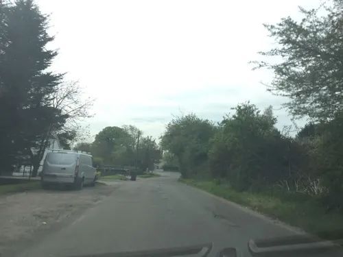
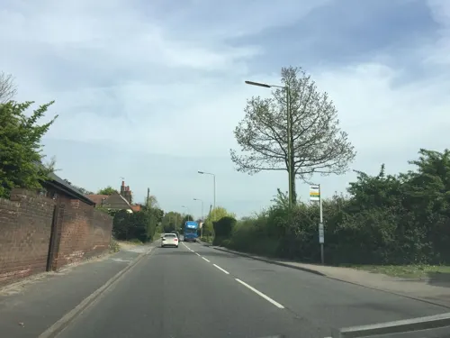
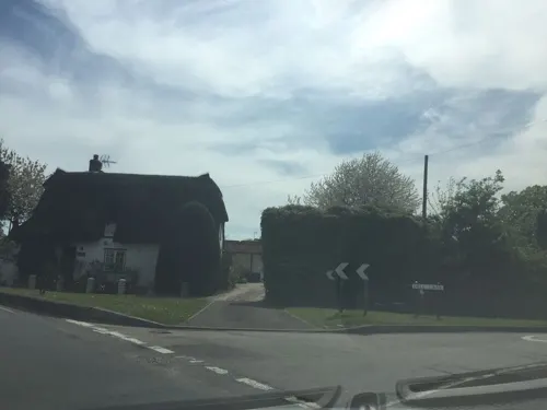
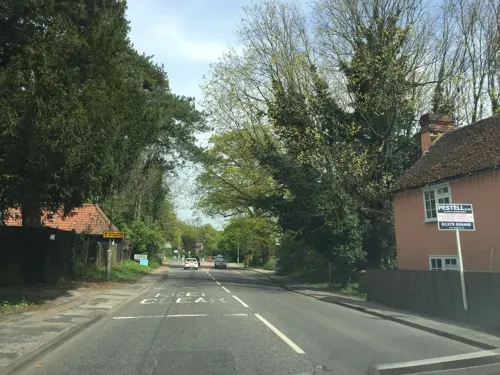
Photos of Little Hallingbury


Museums and landmarks3

Bishop's Stortford Museum
Museum · 2.2 mi
Local museum in Bishop's Stortford, Hertfordshire, England incorporating the Rhodes birthplace

Parks, trails and playgrounds8





Restaurants and cafes3
Where to stay5
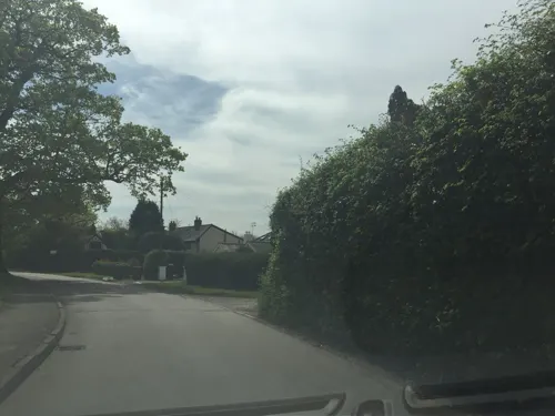


More about Little Hallingbury
Geography
Little Hallingbury parish is on a high rise of ground and contains the small settlements of Gaston Green, Wright's Green and Mott's Green to the south of Little Hallingbury village. It is bordered at the west by the River Stort over which are the Hertfordshire parishes of Sawbridgeworth and Thorley. The parish of Hatfield Broad Oak borders the east, Hatfield Heath and Sheering the south, and Great Hallingbury the north. The M11 motorway runs north to south through the parish.
From the Wikipedia article Little Hallingbury, under CC BY-SA 4.0.
Churches and places of worship3
Schools, colleges and libraries3
Spellbrook Church of England Primary School
School · Anglican · 1.1 mi
London Road, Bishop's Stortford
Little Hallingbury Church of England Voluntary Aided Primary School
School · Anglican
Wrights Green Lane, Bishop's Stortford
Map of Little Hallingbury
25 places. The map loads OpenStreetMap tiles when you open it.
Getting there and nearby towns
London Stansted Airport (STN) is the nearest airport with scheduled flights listed in OpenStreetMap, 4 miles away.
- Hatfield Heath 2 mi southeast, about 3 min by car
- Bishops Stortford 3 mi north, about 4 min by car
- Harlow 5 mi southwest, about 8 min by car
- Roydon 7 mi southwest, about 12 min by car
- Ware 9 mi west, about 15 min by car
- Great Amwell 9 mi west, about 14 min by car
- High Ongar 9 mi south, about 15 min by car
- Hoddesdon 10 mi southwest, about 15 min by car
- Epping 10 mi south, about 16 min by car
- Broxbourne 10 mi southwest, about 17 min by car
Drive times are estimates from straight-line distance, not routes.
Towns near Little Hallingbury


Keep exploring
Local news
Headlines from INDB.
Reviews, tips and questions
Loading what members have shared...
Sources and licences
- GeoNames (CC BY 4.0): population, coordinates, regions and time zone
- Mapillary (see each image): photos
- OpenStreetMap contributors (ODbL 1.0): places, airports, map data
- Wikidata (CC0 1.0): elevation, founding date, time zone, website, landmarks and historic places
- Wikimedia Commons (see each image): photos
- Wikipedia (CC BY-SA 4.0): overview and history text
Photo credits
- St. Mary's Church, Little Hallingbury, The Rambling Man, CC BY-SA 3.0
- St Mary the Virgin's Church, Little Hallingbury, Acabashi, CC BY-SA 4.0
- GOC Sawbridgeworth 149 Little Hallingbury Free Church, Little Hallingbury (30745905941), Peter O'Connor aka anemoneprojectors, CC BY-SA 2.0
- Gaston House, Little Hallingbury, Essex, Robert Edwards, CC BY-SA 2.0
- GOC Sawbridgeworth 150 Hop Poles, Little Hallingbury (30532645460), Peter O'Connor aka anemoneprojectors, CC BY-SA 2.0
- Thorley Wash 9, Dudley Miles, CC BY-SA 4.0
- Rushy Mead nature reserve 7, Dudley Miles, CC BY-SA 4.0
- All Saints' Hockerill west front, Michael-thorpe, CC BY-SA 3.0
- St Giles church in Great Hallingbury, The Rambling Man, CC BY-SA 3.0
- Wikimania 2014 Flug London-Pescara 2014 by-RaBoe 066, © Ra Boe / Wikipedia, CC BY-SA 3.0 de
- Wikimania 2014 Flug London-Pescara 2014 by-RaBoe 065, © Ra Boe / Wikipedia, CC BY-SA 3.0 de
- Wikimania 2014 Flug London-Pescara 2014 by-RaBoe 067, © Ra Boe / Wikipedia, CC BY-SA 3.0 de
- Birthplace of Cecil Rhodes at Bishop's Stortford Museum, Hertfordshire, England, Acabashi, CC BY-SA 4.0
- "Rudbeckia hirta" Black-eyed Susan Gibberd Garden Essex England, Acabashi, CC BY-SA 4.0
- Street-level photo, essexboy, CC BY-SA 4.0
- Street-level photo, essexboy, CC BY-SA 4.0
- Street-level photo, essexboy, CC BY-SA 4.0
- Street-level photo, essexboy, CC BY-SA 4.0
- Street-level photo, essexboy, CC BY-SA 4.0


Page built November 10, 2026. Spotted a mistake? Tell us or suggest a place.