


Why visit Turriff
Townapedia lists 3 museums and landmarks, 2 parks and trails, 6 places to eat, 3 places to stay and 1 attraction in and around town.
Highlights include Delgatie Castle.
Weather in Turriff
Forecast from MET Norway (CC BY 4.0). Full forecast
About Turriff
Turriff (from Scottish Gaelic Torraibh 'place of round hills') is a town and civil parish in Aberdeenshire in Scotland. It lies on the River Deveron, about 166 feet (51 m) above sea level, and has a population of 5,708. In everyday speech it is often referred to by its Scots name Turra, which is derived from the Scottish Gaelic pronunciation.
From the Wikipedia article Turriff (this version), under CC BY-SA 4.0.
Things to do1

Museums and landmarks3

Delgatie Castle
Museum · 1.8 mi
Castle and museum in Aberdeenshire, Scotland, UK
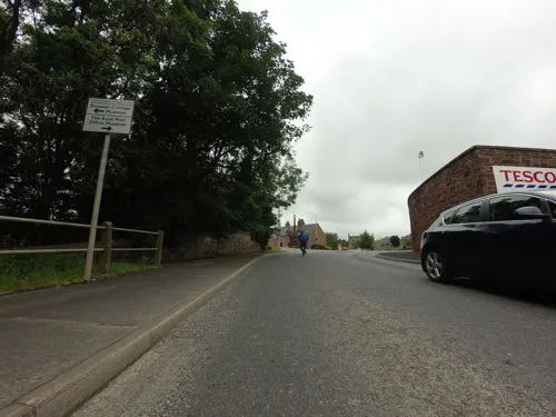
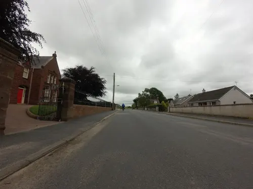
Parks, trails and playgrounds2


Restaurants and cafes6
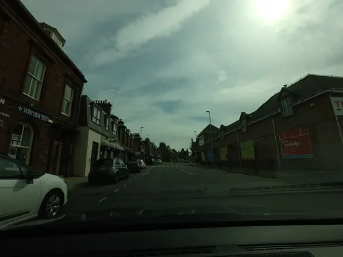
Cinnamon @ Home
Restaurant · Indian
43 High Street
Mo-Su 12:00-14:00,17:00-23:00
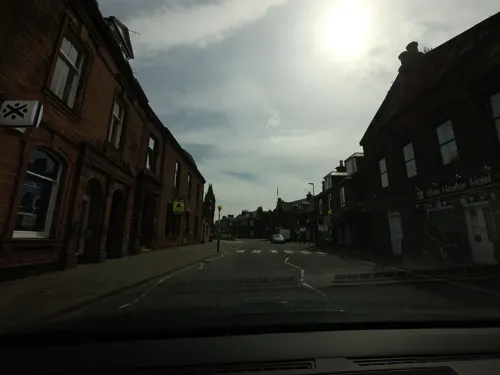
Skippers Fish & Chips
Fast food · Fish And Chips
8 Duff Street
Mo-Su 16:00-21:00

History
The Knights Templar appear to have had a base in the area, and a nearby site is still known as "Temple Brae".
In 1273, the Earl of Buchan founded the Hospital of St Congan for a master, six chaplains and thirteen poor husbandmen of Buchan, though it is believed to have been in ruins before the time of the Reformation. These can be seen in the east gable of today's Episcopal church.
In 1512, Turriff became Burgh of Barony with two fairs — Lammas Fair and St Congan's Fair — and founded a grammar school.
Turriff's mercat cross, a red sandstone octagonal pillar, was built before 1557. Its base was widened by James Duncan in 1865, with sculpture by Thomas Goodwillie. It had an iron railing around it in the 19th century.
An earlier St Congan's church, now ruined, is medieval in date. Its eastern tower remains, capped with a richly-carved 1635 double bellcote. The kirk's bell is dated 1556, and the clock (made in Carnoustie) dates from 1797. It was still working as of 1990. Demolition in the 19th century exposed a brightly coloured fresco of St Ninian on a white background in the splay of a window in the southern wall of the church.
There is a record of a courtyard house (probably of the 17th century), known as Castle Rainy, which was used for a time as the town hall, in Castlegate until the late 19th century.
Read more of the history
Turriff was notable as the scene of the first engagements of the Wars of the Three Kingdoms (1639–51). Early in 1639, the Marquis of Huntly assembled his forces here, and thereafter went to Kintore in lower Aberdeenshire, eventually marching from there to Aberdeen itself. The Marquis — being informed shortly after his arrival in Aberdeen that a meeting of Covenanters was to be held in Turriff on the fourteenth of February — resolved to disperse them, by occupying the town with 2000 men. The incident was known as the "Raid of Turriff" and was followed a few days later by a minor engagement at nearby Towie Barclay Castle known as the "Trot of Turriff".
By 1796, said historian Charles McKean, "the character of the town was set". "There were over double the number of ale and whisky houses than there were butchers," he added.
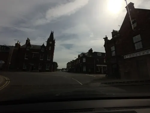
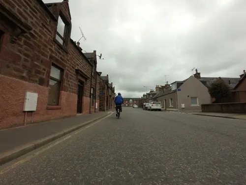
Turriff prospered in the Victorian era through agriculture, as evidenced by its solid red sandstone suburbs, and became known for its role as the centre of feeing for Buchan farm labourers.
More recently, the 1913 Turra Coo incident in the parish was the result of a local refusal to pay National Insurance when this was introduced by Lloyd George's government. Sheriff's officers seized a cow from a local farmer who refused to pay National Insurance contributions for his workers. The officers had difficulty selling the cow, as locals were sympathetic toward the farmer. Eventually they brought in an outside auctioneer, but the auction was disrupted by protesters and the cow escaped. A statue of the "coo" was erected in 2010 in the town centre at the junction of High Street and Main Street and has become a popular emblem for the town.
Historically, Turriff was an important centre for agricultural trade, with its mart being mentioned in the mid-19th century Second Statistical Account of Scotland as one of the largest in the country. The mart finally ceased operation in December 1989, having been eclipsed by the newer Thainstone Mart at Inverurie. At one time the town was served by Turriff station on Banff, Macduff and Turriff Junction Railway.
From the History section of Turriff on Wikipedia, under CC BY-SA 4.0.
Notable people from Turriff
 Beauchamp DuffBritish Army generalPhoto: The Library of Congress, Public domain
 David DuguidScottish politician (born 1970)Photo: Richard Townshend, CC BY 3.0
 Adam WatsonScottish biologist (1930-2019)Photo: Allan Cameron, CC BY-SA 3.0
- Gordon DuncanScottish musician (1964–2005)
- James WillBritish association football player (born 1972)
- Sir John Rose, 1st BaronetCanadian politician (1820-1888)
- George RiddochAustralian pastoralist and politician (1842-1919)
- Ally ShewanScottish footballer (1940–2024)
- Willie WisemanScottish footballer (1896-1979)
- George FindlaterBritish Army piper and Victoria Cross recipient
- William Still LittlejohnAustralian headmaster (1859-1933)
- John RiddochAustralian pastoralist and politician (1827-1901)
Born in Turriff, according to Wikidata (CC0). Each name links to its Wikipedia article.
Where to stay3
Shopping5
Gas and EV charging1
Schools, colleges and libraries2
Healthcare3
Map of Turriff
26 places. The map loads OpenStreetMap tiles when you open it.
Getting there and nearby towns
Aberdeen International Airport (ABZ) is the nearest airport with scheduled flights listed in OpenStreetMap, 25 miles away.
- Portsoy 13 mi northwest, about 21 min by car
- Cullen 17 mi northwest, about 27 min by car
- Pitmedden 17 mi southeast, about 28 min by car
- Inverurie 18 mi south, about 29 min by car
- Ellon 19 mi southeast, about 30 min by car
- Fraserburgh 19 mi northeast, about 31 min by car
- Cruden Bay 24 mi east, about 39 min by car
- Peterhead 25 mi east, about 40 min by car
- Westhill 27 mi south, about 44 min by car
- Aberdeen 30 mi southeast, about 49 min by car
Drive times are estimates from straight-line distance, not routes.
Towns near Turriff


Keep exploring
Local news
Headlines from INDB.
Reviews, tips and questions
Loading what members have shared...
Sources and licences
- GeoNames (CC BY 4.0): population, coordinates, regions and time zone
- Mapillary (see each image): photos
- OpenStreetMap contributors (ODbL 1.0): places, airports, map data
- Wikidata (CC0 1.0): elevation, founding date, time zone, website, landmarks and historic places
- Wikimedia Commons (see each image): photos
- Wikipedia (CC BY-SA 4.0): overview and history text
Photo credits
- The Turra Coo - panoramio, tormentor4555, CC BY-SA 3.0
- Th Turra Coo - panoramio, tormentor4555, CC BY-SA 3.0
- The Turra Coo. - panoramio, tormentor4555, CC BY-SA 3.0
- Turra Coo statue 2017-05-26 - 2, August Schwerdfeger, CC BY 4.0
- Turra Coo statue 2017-05-26 - 1, August Schwerdfeger, CC BY 4.0
- Delgatie Castle 2017-05-26, August Schwerdfeger, CC BY 4.0
- Street-level photo, tallguy, CC BY-SA 4.0
- Street-level photo, tallguy, CC BY-SA 4.0
- Street-level photo, tallguy, CC BY-SA 4.0
- Street-level photo, hobgoblin, CC BY-SA 4.0
- Street-level photo, tallguy, CC BY-SA 4.0
- Street-level photo, tallguy, CC BY-SA 4.0
- Street-level photo, tallguy, CC BY-SA 4.0
- Street-level photo, tallguy, CC BY-SA 4.0
- Street-level photo, tallguy, CC BY-SA 4.0
- Street-level photo, tallguy, CC BY-SA 4.0
- Street-level photo, tallguy, CC BY-SA 4.0
- Street-level photo, tallguy, CC BY-SA 4.0
Page built November 10, 2026. Spotted a mistake? Tell us or suggest a place.