


Valley, United Kingdom
Valley is a town of 2,361 people in Wales, United Kingdom, founded in April 1, 1974.
Why visit Valley
Townapedia lists 4 museums and landmarks, 6 parks and trails, 11 places to eat, 11 places to stay and 4 attractions in and around town.
Highlights include Holyhead Breakwater Lighthouse, Holyhead Mail Pier Lighthouse, HMS Nimrod and Holyhead Maritime Museum.
Weather in Valley
Forecast from MET Norway (CC BY 4.0). Full forecast
About Valley
Valley (Welsh: Y Fali ) is a village, community, and former electoral ward near Holyhead on the west coast of Anglesey, North Wales. The population during the 2001 census was 2,413, decreasing to 2,361 at the 2011 census.
From the Wikipedia article Valley, Anglesey (this version), under CC BY-SA 4.0.
Travel tips from other travellers: Valley on Wikivoyage (CC BY-SA 4.0).
Things to do4

Holyhead Breakwater Lighthouse
Lighthouse · 3.9 mi
Lighthouse at Holyhead, Anglesey, Wales

Holyhead Mail Pier Lighthouse
Lighthouse · 3.0 mi
Lighthouse, Grade II listed building in Holyhead, Wales; at the E end of Admiralty Pier


Holyhead Breakwater and Lighthouse
Lighthouse · 3.8 mi
The longest breakwater in the United Kingdom
Museums and landmarks4

HMS Nimrod
Monument and historic site · 2.4 mi
1812 Cruizer-class brig-sloop

Holyhead Maritime Museum
Museum · 3.9 mi
Maritime museum in Holyhead, North Wales, United Kingdom

Presaddfed Chambered Tomb
Monument and historic site · 3.7 mi
Neolithic burial chamber in Anglesey, Wales

Parks, trails and playgrounds6

Valley Wetlands
Park · 2.3 mi
RSPB nature reserve in the United Kingdom

Penrhos Country Park
Park · 1.5 mi
Country park near Penrhos, Anglesey


Restaurants and cafes11
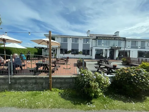
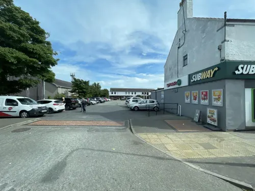
Sergio's Fish and Chips
Fast food · Fish And Chips
Station Road, Y Fali / Valley
Mo-Sa 11:30-21:00
Lee's Garden
Fast food · Chinese · 1.2 mi
Ffordd Caergybi, Caergeiliog


Catch 22
Restaurant
London Road, Holyhead
We-Fr 10:30-14:00,17:00-21:00; Sa 10:30-14:30,17:00-21:00; Su 10:30-20:00


Enochs Fish and Chips
Fast food · Fish And Chips
London Road, Holyhead
Su-Th 12:00-20:30; Fr,Sa 12:00-21:00
History
The origin of the name has been the subject of much debate for more than a century. Thomas Morgan derived the name as a corruption of "Mael-dy" (house of trade). Morgan links the name with the writings of Tacitus, who stated that trade with Ireland was conducted from here in the time of Julius Agricola.
Gwilym T. Jones and Tomos Roberts state that early accounts name the area as Glan Môr Tŷ Coch and Glan Môr Castell Llyfaint. They offer two further possible derivations of the name Valley; firstly that the name derives from the Irish word Baile (a settlement) and secondly that it developed when the Stanley Embankment (known by locals as 'The Cob') was built in the 1820s and a depression (or valley) was dug to yield rubble for its construction. The cluster of dwellings nearby was then given the name by these labourers.
In Modern Welsh the name is usually rendered as Y Fali. However for a time until the early 2000s it was officially known as Y Dyffryn in Welsh.
A workhouse was opened in the village in 1870. The building was later converted into a hospital, which was demolished as a result of the Stanley Hospital in Holyhead beginning to serve the village.
From the History section of Valley, Anglesey on Wikipedia, under CC BY-SA 4.0.
Where to stay11
Churches and places of worship16
Shopping2
Schools, colleges and libraries3
Healthcare1
Map of Valley
58 places. The map loads OpenStreetMap tiles when you open it.
Getting there and nearby towns
RAF Valley - Anglesey Airport (VLY) is the nearest airport with scheduled flights listed in OpenStreetMap, 3 miles away.
- Holyhead 3 mi northwest, about 5 min by car
- Bodedern 3 mi east, about 4 min by car
- Rhosneigr 4 mi southeast, about 7 min by car
- Gwalchmai 6 mi east, about 10 min by car
- Bangor 18 mi east, about 30 min by car
- Llandudno 30 mi east, about 49 min by car
- Colwyn Bay 35 mi east, about 56 min by car
- Abergele 41 mi east, about 1 h by car
- Rhyl 44 mi east, about 1 h 15 min by car
- Prestatyn 48 mi east, about 1 h 15 min by car
Drive times are estimates from straight-line distance, not routes.
Towns near Valley


Keep exploring
Local news
Headlines from INDB.
Reviews, tips and questions
Loading what members have shared...
Sources and licences
- GeoNames (CC BY 4.0): population, coordinates, regions and time zone
- Mapillary (see each image): photos
- OpenStreetMap contributors (ODbL 1.0): places, airports, map data
- Wikidata (CC0 1.0): elevation, founding date, time zone, website, landmarks and historic places
- Wikimedia Commons (see each image): photos
- Wikipedia (CC BY-SA 4.0): overview and history text
Photo credits
- Breakwater Lighthouse, Holyhead, Holy Island (507266) (33070276475), Robert Linsdell from St. Andrews, Canada, CC BY 2.0
- Holyhead Mail Pier Light (2), Talsarnau Times, CC BY-SA 3.0
- HolyheadMuseumAndHarbour, Cls14, CC BY-SA 3.0
- Both Presaddfed chambers, Beep boop beep, CC BY-SA 4.0
- LlynPenrhyn, Porius1, CC BY-SA 3.0
- Saint Mary's Church Holyhead, Stephen Milburn, CC BY-SA 3.0
- Eglwys St Mihangel's Church, Stephen Elwyn RODDICK, CC BY-SA 2.0
- Ucheldre Centre 2, Mx. Granger, CC0
- Log of HMS Nimrod 13-15 January 1827 (1), Samuel Sparshott (died 1851), Public domain
- Y Porth Celtaidd, Celtic Gateway Bridge, Holyhead, Isle of Anglesey, Talsarnau Times, CC BY-SA 3.0
- Street-level photo, debigc, CC BY-SA 4.0
- Street-level photo, debigc, CC BY-SA 4.0
- Street-level photo, debigc, CC BY-SA 4.0
- Street-level photo, debigc, CC BY-SA 4.0
- Street-level photo, debigc, CC BY-SA 4.0
- Street-level photo, debigc, CC BY-SA 4.0
- Street-level photo, debigc, CC BY-SA 4.0


Page built November 10, 2026. Spotted a mistake? Tell us or suggest a place.