


Why visit Bangor
Townapedia lists 21 museums and landmarks, 18 parks and trails, 116 places to eat, 20 places to stay and 6 attractions in and around town.
Highlights include Britannia Bridge, Menai Suspension Bridge, Storiel and Thomas Telford Centre.
Weather in Bangor
Forecast from MET Norway (CC BY 4.0). Full forecast
About Bangor
Bangor ( , ; Welsh: [ˈbaŋɡɔr] ) is a cathedral city and community in Gwynedd, Wales. Historically part of Caernarfonshire, the community had a population of 15,060 at the 2021 census, and the built-up area had a population of 16,990. Landmarks include Bangor Cathedral, Bangor University and Garth Pier. The Britannia and Menai Suspension bridges connect the city to the Isle of Anglesey.
From the Wikipedia article Bangor, Gwynedd (this version), under CC BY-SA 4.0.
Travel tips from other travellers: Bangor on Wikivoyage (CC BY-SA 4.0).
Photos of Bangor


Things to do6


Menai Suspension Bridge
Bridge · 1.5 mi
Bridge between Anglesey and mainland Wales



Museums and landmarks21
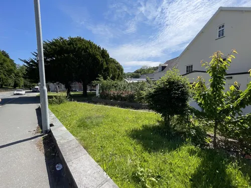


Marquess of Anglesey's Column
Monument and historic site · 2.8 mi
Monument in Anglesey, Wales
Menai Heritage
Museum · 1.5 mi
Local history and technology museum in Anglesey, Wales, United Kingdom

The Cambria
Monument and historic site · 1.4 mi
Ffordd Cambria, Porthaethwy / Menai Bridge


HMS Conway
Monument and historic site · 1.7 mi
Royal Navy training school

9 more on the map.
Parks, trails and playgrounds18

Spinnies Nature Reserve
Park · 2.1 mi
Nature reserve at Aberogwen, Wales





6 more on the map.
Restaurants and cafes116
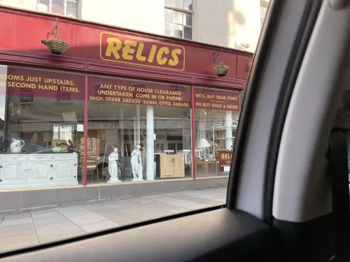
The Castle
Bar and pub
Glanrafon, Bangor
Mo-Th 10:00-23:00, Fr 10:00-00:30, Sa 10:00-01:00, Su 11:00-23:00
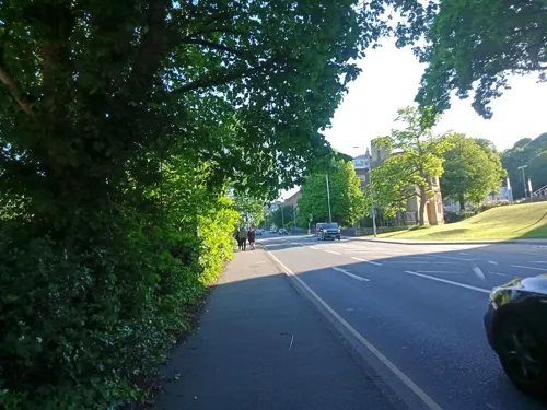
Cafe Siabod@Storiel
Cafe · Coffee Shop, Sandwich, Soup, Breakfast
Ffordd Gwynedd, Bangor
Tu-Sa 10:00-16:00
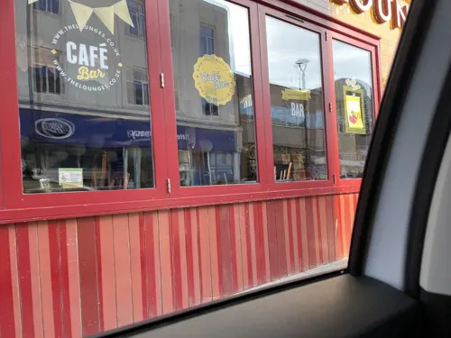
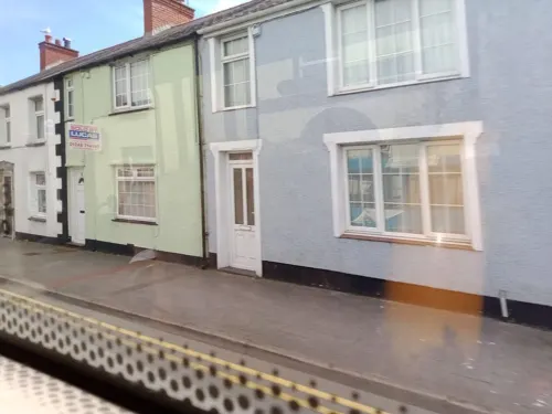
Our Little Kitchen
Restaurant · Regional · 1.4 mi
49 High Street, Porthaethwy / Menai Bridge
Tu-Sa 17:00-20:30
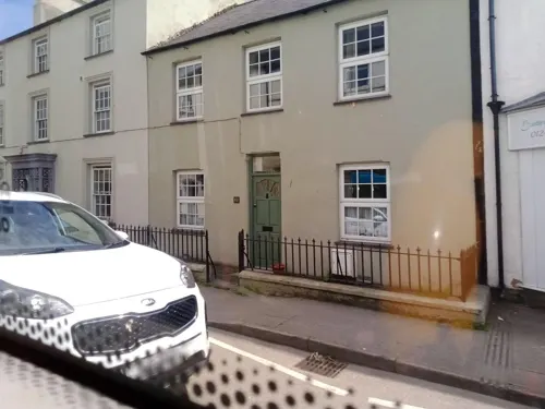
Spice Island Menai Bridge
Restaurant · Indian · 1.4 mi
13 High Street, Porthaethwy / Menai Bridge
Fr,Sa 17:00-23:00; Su-Th 17:00-22:30
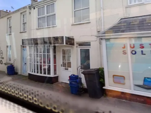
Taste of India
Restaurant · Indian · 1.4 mi
27 to 29 High Street, Porthaethwy / Menai Bridge
Mo-Su 17:00-22:30
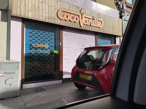

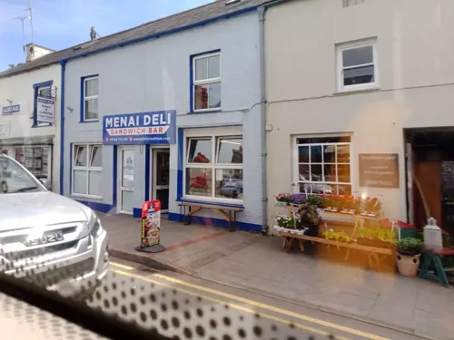


104 more on the map.
History
The origins of the city date back to the founding of a monastic establishment on the site of Bangor Cathedral by the Celtic saint Deiniol in the early 6th century AD. 'Bangor' itself is an old Welsh word for a wattled enclosure, such as the one that originally surrounded the cathedral site. The present cathedral is a somewhat more recent building and has been extensively modified throughout the centuries. While the building itself is not the oldest, and certainly not the biggest, the bishopric of Bangor is one of the oldest in the UK.
In 973, Iago, ruler of the Kingdom of Gwynedd, was usurped by Hywel, and requested help from Edgar, King of England, to restore his position. Edgar, with an army, went to Bangor and encouraged both Iago and Hywel to share the leadership of the realm. Asserting overall control however, Edgar confirmed liberties and endowments of the Bishop of Bangor, granting land and gifts. From 1284 until the 15th century, Bangor bishops were granted several charters permitting them to hold fairs and govern the settlement, later ones also confirming them as Lord of the manor.
Read more of the history
Bangor remained a small settlement until the start of the 18th century. The main mail coach route from London to Dublin via Holyhead passed to the east of Bangor, crossing the Lavan Sands to reach a ferry across the Menai Strait to Beaumaris. In 1718, a sub-postmaster was appointed based in Bangor and the mail coach route was diverted to pass through Bangor on its way to the alternative Porthaethwy ferry. Being on the mail coach route considerably increased the trade passing through Bangor and encouraged its growth. Development was further spurred by slate mining at nearby Bethesda, beginning in the 1770s by Richard Pennant, becoming one of the largest slate quarries in the world. The route between London and Holyhead was much improved by Thomas Telford building the A5 road; it runs through the centre of the city and over the Menai Suspension Bridge, which was also completed to his designs in 1826. Bangor railway station opened in 1848.
Bangor's status grew due to further industry, such as shipbuilding, as well as travel, not just from Telford's road, but through tourism mainly from Liverpool via steamboat.
Friars School was founded as a free grammar school in 1557 and the University College of North Wales (now Bangor University) was founded in 1884. In 1877, the former HMS Clio became a school ship, moored on the Menai Strait at Bangor and had 260 pupils. Closed after the end of hostilities of World War I, she was sold for scrap and broken up in 1919.
In World War II, parts of the BBC evacuated to Bangor during the worst of the Blitz. The BBC continue to maintain facilities in the city (see Media).
From the History section of Bangor, Gwynedd on Wikipedia, under CC BY-SA 4.0.
More about Bangor
Geography
Bangor lies on the coast of North Wales near the Menai Strait, which separates the island of Anglesey from Gwynedd, the town of Menai Bridge lying just over the strait. The combined population of the two amounted to 22,184 at the 2011 census. Bangor Mountain at 117 metres (384 ft) lies to the east of the main part of the city, but the large housing estate of Maesgeirchen, originally built as council housing, is to the east of the mountain near Port Penrhyn. Another ridge rises to the north of the High Street, dividing the city centre from the south shore of the Menai Strait; this area is known as Upper Bangor (Bangor Uchaf).
The Bangor community area includes the suburbs of Garth and Hirael both immediately north of the city centre; Upper Bangor north west of the centre; West End, Glan-adda, Bryn Llwyd and Coed Mawr to the south west; Y Maes to the south; Glantraeth, Tan-y-bryn and Maesgeirchen are to the east. The suburbs of Penhros-garnedd, Treborth and Minffordd are within the community of Pentir adjoining the city to the south and south west. Port Penrhyn and the tiny estate of Plas-y-coed, adjoin the city within the Llandygai community.
Arts and culture
The head office of Gwynedd Archaeological Trust is located on Garth Road. The Trust was established in 1974 and carries out surveys, outreach and education, and excavations across Gwynedd and Anglesey.
The North Wales Wildlife Trust is also based on Garth Road, and manages the nature reserves at Eithinog and Nantporth.
Classical music is performed regularly in Bangor, with concerts given in the Powis and Prichard-Jones Halls as part of the university's Music at Bangor concert series. The city is also home to Storiel (the new name for the Gwynedd Museum and Art Gallery), which is located in Bangor Town Hall. A new arts centre complex, Pontio, the replacement for Theatr Gwynedd, was scheduled for completion in the summer of 2014, but the opening was delayed until November 2015.
Bangor hosted the National Eisteddfod in 1890, 1902, 1915, 1931, 1940 (through the medium of radio), 1943, 1971 and 2005, as well as an unofficial National Eisteddfod event in 1874.
Garth Pier is the second longest pier in Wales and the ninth longest in the British Isles, at 1,500 feet (460 m) in length. It was opened in 1893 and was a promenade pier for the amusement of holiday-makers, who could stroll among the pinnacle-roofed kiosks.
Education
Bangor University and Coleg Menai are located in the city. There are a few secondary schools, these include Ysgol Friars, Ysgol Tryfan and St. Gerard's School. There are also a number of primary and infant schools. Ysgol Y Faenol, Ysgol Y Garnedd and Ysgol Cae Top are all primary schools. As of 2019, the Coleg Menai sight in Bangor has closed but a new site known as Coleg Menai Parc Menai has opened just off the A55 motorway.
From the Wikipedia article Bangor, Gwynedd, under CC BY-SA 4.0.
Notable people from Bangor
 Wayne HennesseyWelsh association football player (born 1987)Photo: Steindy ( talk ) 16:09, 10 November..., CC BY-SA 3.0
 MJ WilliamsWelsh association football playerPhoto: Fleets, CC BY-SA 4.0
 SashaWelsh DJPhoto: Lazz R, CC0
 Ian WhyteWelsh actor, stuntman, and basketball playerPhoto: Raboe001, CC BY-SA 3.0
 Gwenllian of WalesWelsh royal Princess; daughter of Llywelyn IIPhoto: Hogyn Lleol, CC0
 RenWelsh Musician, singer, songwriter, producer, rapper, multi-instrumentalistPhoto: BenLPhoto, CC BY 4.0
 Richard DeaconBritish artist (born 1949)Photo: Jindřich Nosek (NoJin), CC BY-SA 4.0
- DuffyWelsh singer (born 1984)
- Charles WarrenBritish army officer, archaeologist, and photographer (1840-1927)
- Aled JonesBritish singer and TV presenter
- Charlotte MasonWelsh educator, editor
- Iwan RobertsWelsh footballer (born 1968)
Born in Bangor, according to Wikidata (CC0). Each name links to its Wikipedia article.
Where to stay20
Churches and places of worship25
Shopping21
Dylan's Menai Bridge - Baked Goods & General Store
Shop · 1.4 mi
4 High Street, Porthaethwy / Menai Bridge
Evans Bros
Hardware store · 1.4 mi
4 to 6 High Street, Porthaethwy / Menai Bridge
Gas and EV charging5
Schools, colleges and libraries24
Healthcare5
Map of Bangor
250 places. The map loads OpenStreetMap tiles when you open it.
Getting there and nearby towns
RAF Valley - Anglesey Airport (VLY) is the nearest airport with scheduled flights listed in OpenStreetMap, 17 miles away.
- Llandudno 14 mi northeast, about 23 min by car
- Colwyn Bay 17 mi east, about 28 min by car
- Holyhead 21 mi west, about 35 min by car
- Rhyl 27 mi east, about 44 min by car
- Prestatyn 31 mi east, about 50 min by car
- Flint 41 mi east, about 1 h by car
- Buckley 43 mi east, about 1 h 15 min by car
- Heswall 43 mi east, about 1 h 15 min by car
- Birkenhead 47 mi east, about 1 h 15 min by car
- Liverpool 49 mi east, about 1 h 15 min by car
Drive times are estimates from straight-line distance, not routes.
Towns near Bangor


Keep exploring
Local news
Headlines from INDB.
Reviews, tips and questions
Loading what members have shared...
Sources and licences
- GeoNames (CC BY 4.0): population, coordinates, regions and time zone
- Mapillary (see each image): photos
- OpenStreetMap contributors (ODbL 1.0): places, airports, map data
- Wikidata (CC0 1.0): elevation, founding date, time zone, website, landmarks and historic places
- Wikimedia Commons (see each image): photos
- Wikipedia (CC BY-SA 4.0): overview and history text
Photo credits
- Bangor from Bangor-mountain, Unknown author, Public domain
- New refrectory and students union at Bangor on Glanrafon Hill (1465595), Geoff Charles, CC BY-SA 4.0
- Spring fair to raise money for the Bangor Eisteddfod 1971 fund (1547289), Geoff Charles, CC BY-SA 4.0
- Eglwys Gadeiriol Bangor and Theatr Gwynedd (1552292), Geoff Charles, CC BY-SA 4.0
- Spring fair to raise money for the Bangor Eisteddfod 1971 fund (1547285), Geoff Charles, CC BY-SA 4.0
- Spring fair to raise money for the Bangor Eisteddfod 1971 fund (1547316), Geoff Charles, CC BY-SA 4.0
- Bangor monument - panoramio, Tanya Dedyukhina, CC BY 3.0
- Eglwys Gadeiriol Bangor and Theatr Gwynedd (1552290), Geoff Charles, CC BY-SA 4.0
- Plas yr Esgob (Bangor, Gwynedd), Deri Tomos, CC BY-SA 4.0
- Bangor Memorial Arch - panoramio, Tanya Dedyukhina, CC BY 3.0
- Brittania Bridge, Anglesey, Cymru (Wales); June 2023, Llywelyn2000, CC BY-SA 4.0
- Pont y Borth (Menai Suspension Bridge) a godwyd gan Telford, rhwng Ynys Mon a Gwynedd; Mehefin 2023 12, Llywelyn2000, CC BY-SA 4.0
- Traeth Lafan, myself, Public domain
- Porthaethwy - Eglwys y Santes Fair Gradd II gan Cadw 04, Monsyn, CC BY-SA 4.0
- Eglwys y Santes Fair a Sant Nicolas, Biwmares - St Mary's and St Nicholas's Church, Beaumaris, Anglesey, Wales 16, Llywelyn2000, CC BY-SA 4.0
- St Mary's Church and surrounding area, Llanfairpwllgwyngyll - y Santes Fair; Ynys Môn, Cymru Wales 01, Llywelyn2000, CC BY-SA 4.0
- Church Of St. Tysilio, GeraintTudur2, CC BY-SA 3.0
- Bangor University (50555605717), Andrew Woodvine from Bangor, CC BY-SA 2.0
- Canolfan Thomas Telford Centre, Warrenkovach, CC BY-SA 4.0
- Our Lady and St James, Bangor, Andrew Woodvine from Bangor, CC BY-SA 2.0
- Bangor Cathedral (002 8256 DxO (2500736424)), Denis Egan from Bangor, Gwynedd, North Wales, CC BY 2.0
- Nantporth, Kev Williams, CC BY-SA 4.0
- Castell Penrhyn, Bangor yn Ionawr 2023 - Castell Penrhyn, Bangor, Gwynedd, Wales in January 2023 05, Llywelyn2000, CC BY-SA 4.0
- Top of bangor mountain, Unknown author, Public domain
- Friars-ffriddoedd, Unknown author, Public domain
- Front of Ysgol Tryfan, Bangor, GeraintTudur2, CC BY-SA 3.0
- The Cambria, Huwpritchard, CC BY-SA 3.0
- Capel Mawr, Porthaethwy, Reading Tom from Reading, UK, CC BY 2.0
- At Bangor, Wales 2019 055, Photograph by Mike Peel ( www.mikepeel.net )., CC BY-SA 4.0
- Ysgol Gynradd y Borth, Huwpritchard, CC BY-SA 3.0
- The Menai, GeraintTudur2, CC BY-SA 3.0
- The Anglesey Arms, Huwpritchard, CC BY-SA 3.0
- Bulkeley Arms, Huwpritchard, CC BY-SA 3.0
- Sunset on Penrhyn Castle. (14500044677), Hefin Owen from Wales, CC BY-SA 2.0
- Nantporth main stand 2013, Cls14, CC BY-SA 4.0
- View of the Spinnies Nature Reserve, Gwynedd, North Wales, Lesbardd, CC BY-SA 4.0
- Brigantia, Bangor, 12xii, CC BY-SA 4.0
- Fron Heulog, Bangor, 12xii, CC BY-SA 4.0
- Front - plant (1), BangorWeb, CC BY-SA 4.0
- Protest by the University College of North Wales students against Margaret Thatcher (1555358), Geoff Charles, CC BY-SA 4.0
- Colofn Ardalydd Môn, Llanfair Pwllgwyngyll, Ynys Môn - Marquess of Anglesey's Column monument in Anglesey, Wales 07, Llywelyn2000, CC BY-SA 4.0
- Street-level photo, debigc, CC BY-SA 4.0
- Street-level photo, debigc, CC BY-SA 4.0
- Street-level photo, annekaro, CC BY-SA 4.0
- Street-level photo, debigc, CC BY-SA 4.0
- Street-level photo, debigc, CC BY-SA 4.0
- Street-level photo, annekaro, CC BY-SA 4.0
- Street-level photo, annekaro, CC BY-SA 4.0
- Street-level photo, annekaro, CC BY-SA 4.0
- Street-level photo, annekaro, CC BY-SA 4.0
- Street-level photo, noseinthewind, CC BY-SA 4.0
- Street-level photo, noseinthewind, CC BY-SA 4.0
- Street-level photo, debigc, CC BY-SA 4.0
- Street-level photo, debigc, CC BY-SA 4.0
- Street-level photo, debigc, CC BY-SA 4.0
- Street-level photo, debigc, CC BY-SA 4.0
- Street-level photo, trigpoint, CC BY-SA 4.0
- Street-level photo, annekaro, CC BY-SA 4.0
- Street-level photo, annekaro, CC BY-SA 4.0
- Street-level photo, noseinthewind, CC BY-SA 4.0
- Street-level photo, annekaro, CC BY-SA 4.0
- Street-level photo, annekaro, CC BY-SA 4.0
- Street-level photo, debigc, CC BY-SA 4.0
- Street-level photo, annekaro, CC BY-SA 4.0
- Street-level photo, trigpoint, CC BY-SA 4.0
- Street-level photo, debigc, CC BY-SA 4.0
- Street-level photo, noseinthewind, CC BY-SA 4.0
- Street-level photo, noseinthewind, CC BY-SA 4.0


).jpg)


Page built November 10, 2026. Spotted a mistake? Tell us or suggest a place.