
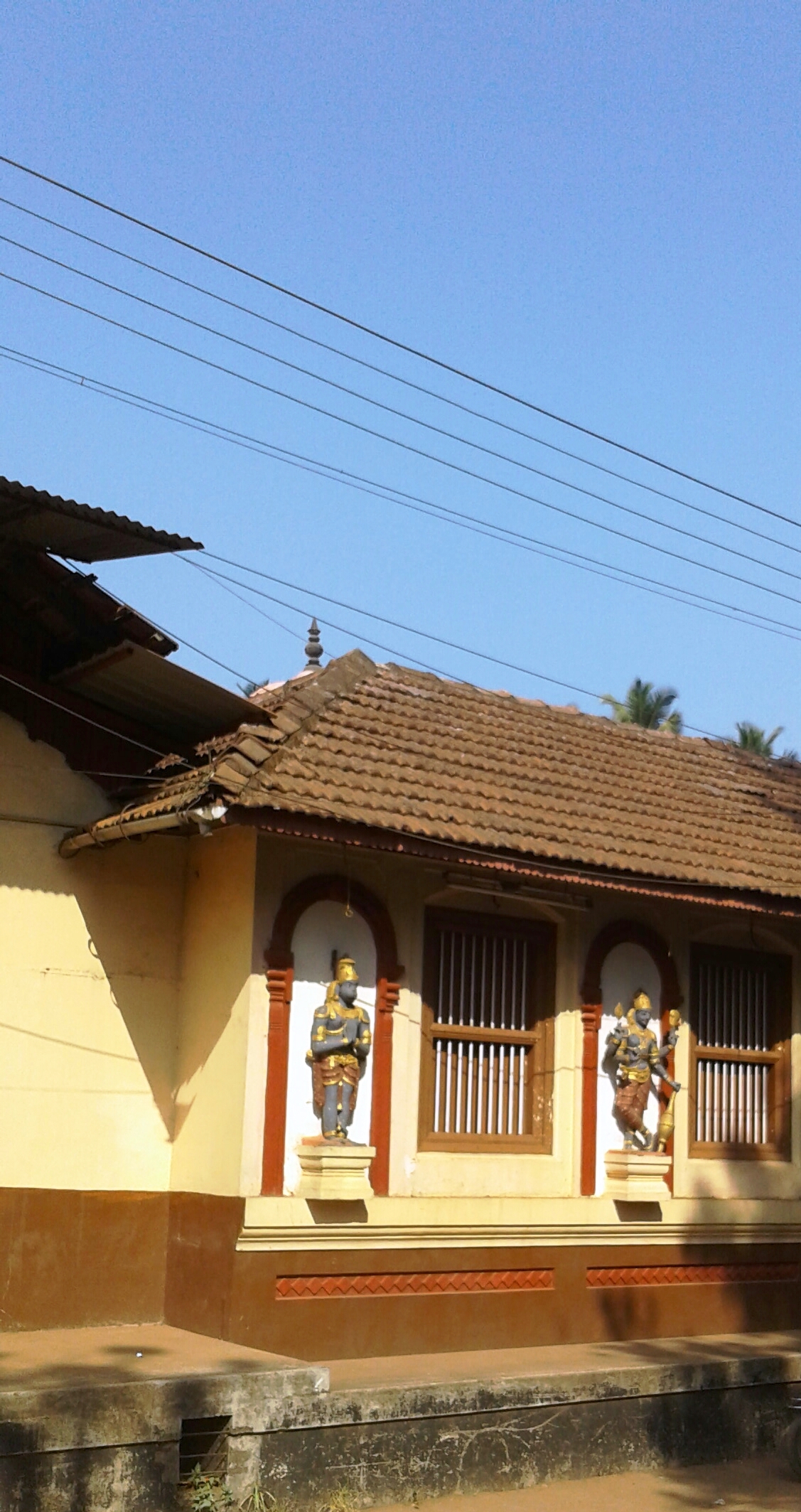


Why visit Bantvāl
Townapedia lists 1 museum or landmark, 1 park or trail, 7 places to eat, 2 places to stay and 1 attraction in and around town.
Highlights include Rani Abbakka Tulu Adhyayana Kendra.
Weather in Bantvāl
Forecast from MET Norway (CC BY 4.0). Full forecast
About Bantvāl
Bantwal () is a city and taluk centre in Dakshina Kannada district, Karnataka, India, and the headquarters of Bantwal taluk. It is located 25 km (16 mi) East of Mangalore city center. BC Road-Kaikamba of Bantwal is one of the fastest developing areas in Dakshina Kannada district of Karnataka.
From the Wikipedia article Bantwal (this version), under CC BY-SA 4.0.
Things to do1

Museums and landmarks1

Rani Abbakka Tulu Adhyayana Kendra
Museum · 1.4 km
B.C Road, Bantwal
Mo-Sa 09:00-17:00
Parks, trails and playgrounds1

Restaurants and cafes7


History
It is situated on the banks of River Nethravati on the National Highway 73 (India). The adjacent town of B.C. Road (Bantwal Cross Road) serves as the commercial center.
Previously, the town of Bantwal was known for trade with the Persian Gulf states, being so close to Mangalore. However, flooding caused by the river Netravathi during the monsoons compelled traders and newer settlements to move to the adjacent city of B.C. Road due to its higher altitude. Gradually, most Government offices shifted to B.C. Road.
Prior to 1852, Bantwal Taluk was the largest taluk in the entire of Canara Province (then comprising North Canara, Udupi, Mangalore and Kasaragod Districts) with 411 villages and a total population of 1,69,416. In 1852, a portion of it was formed into the Taluk of Puttur. Bantwal was an entrepot for the produce of the province on its way to the Mysore Country and had derived a great benefit of late years from the extension of the coffee trade. It contained about thousand scattered houses inhabited by Billava, Bunts, Bhandary, Ganigas, Kulals, Goud Saraswat Brahmins, Konkani Catholics and a few Jains.
From the History section of Bantwal on Wikipedia, under CC BY-SA 4.0.
Where to stay2
Churches and places of worship13
Shri vanadurga tatha jalantargata naga sanidyatemple
Place of worship · 1.6 km
Gurupura Road, bc road, bantwala
Sri Satyadevata Kallurti Temple
Place of worship · 2.4 km
Panemangalore Road, Bantwala
Sri Veera Maruthi Temple
Place of worship · 2.3 km
Nandavara Road, Panemangalore, Bantwal
Shopping1
Gas and EV charging4
Schools, colleges and libraries8
Healthcare12
Map of Bantvāl
50 places. The map loads OpenStreetMap tiles when you open it.
Getting there and nearby towns
Mangalore International Airport (IXE) is the nearest airport with scheduled flights listed in OpenStreetMap, 18 km away.
- Narikombu 2 km east, about 2 min by car
- Munnūru 4 km southwest, about 4 min by car
- Mangaluru 20 km west, about 20 min by car
- Mūdbidri 20 km north, about 20 min by car
- Ullal 21 km southwest, about 21 min by car
- Kārkala 36 km north, about 36 min by car
- Kāsaragod 44 km south, about 44 min by car
- Udupi 58 km northwest, about 58 min by car
- Kanhangad 65 km south, about 1 h by car
- Nīlēshwar 71 km south, about 1 h 15 min by car
Drive times are estimates from straight-line distance, not routes.
Local news
Headlines from INDB.
Reviews, tips and questions
Loading what members have shared...
Sources and licences
- GeoNames (CC BY 4.0): population, coordinates, regions and time zone
- OpenStreetMap contributors (ODbL 1.0): places, airports, map data
- Wikidata (CC0 1.0): elevation, founding date, time zone, website, landmarks and historic places
- Wikimedia Commons (see each image): photos
- Wikipedia (CC BY-SA 4.0): overview and history text
Photo credits
- Bantwal. Kashi mutt, Prof tpms, CC BY-SA 4.0
- Church Of Most Holy Saviour, Agrar, Glany222, CC BY-SA 4.0
- Srirama Sitadevi temple, bantwal, Prof tpms, CC BY-SA 4.0
- Train halting at Bantwal railway station, Shreek1009, CC BY-SA 4.0
- Bantwal railway station, Msclrfl22, CC BY-SA 3.0
- Lions Seva Mandir, Bantwal, Rohan Pinto, CC BY-SA 4.0
- Water drop Web spider, Harshitha Kay, CC BY-SA 4.0
- Opposite ants, Harshitha Kay, CC BY-SA 4.0
- Netravati from the Bantawala railway bridge, Rohan Pinto, CC BY-SA 4.0
- Sanskrit mantra, Harshitha Kay, CC BY-SA 3.0
- Well irrigation, Harshitha Kay, CC BY-SA 4.0
- Multiple millipedes, Harshitha Kay, CC BY-SA 4.0
- Tabloo, Harshitha Kay, CC BY-SA 4.0
- Back yard garden, Harshitha Kay, CC BY-SA 4.0
- Hot Coffee, Raksha.1234, CC BY-SA 4.0
- Melkar temple. BC road, Prof tpms, CC BY-SA 4.0
- The heavenly Seed, Drpranjit, CC BY-SA 4.0
- Peaceful minds, Monika bai m g, CC BY-SA 4.0
- Sunriseview3, Monika bai m g, CC BY-SA 4.0
- Beauty wd da boat, Monika bai m g, CC BY-SA 4.0


Page built November 3, 2026. Spotted a mistake? Tell us or suggest a place.