


Āstāneh-ye Ashrafīyeh, Iran
آستانه اشرفیه
Āstāneh-ye Ashrafīyeh is a town of 44,941 people in Gilan Province, Iran.
Why visit Āstāneh-ye Ashrafīyeh
Townapedia lists 1 museum or landmark, 3 parks and trails, 12 places to eat and 1 place to stay in and around town.
Weather in Āstāneh-ye Ashrafīyeh
Forecast from MET Norway (CC BY 4.0). Full forecast
About Āstāneh-ye Ashrafīyeh
Astaneh-ye Ashrafiyeh (Persian: آستانه اشرفيه) is a city in the Central District of Astaneh-ye Ashrafiyeh County, Gilan province, Iran, serving as the capital of both the county and the district.
From the Wikipedia article Astaneh-ye Ashrafiyeh (this version), under CC BY-SA 4.0.
Museums and landmarks1
Parks, trails and playgrounds3

Restaurants and cafes12

کافه کافئین
Cafe · Coffee Shop, Cafe, Coffee, کافه · 0.9 km
کافه کافئین انواع نوشیدنی گرم و سرد کیک روز
خیابان فردوسی, شهر آستانه اشرفیه
09:00-23:00
Rangin Kaman Restaurant
Restaurant · Persian · 2.0 km
میدان شهید حسن دخت, آستانه اشرفیه

Persian home appliances
Brewery and winery
01342127407 آیت الله مدرس


Where to stay1

))_-_panoramio.jpg)


Churches and places of worship6
Shopping1
Gas and EV charging4
Schools, colleges and libraries5
Islamic Azad University Astaneh Ashrafiyeh Branch
School · 1.6 km
میدان جمهوری, آستانه اشرفیه
Healthcare4
Map of Āstāneh-ye Ashrafīyeh
37 places. The map loads OpenStreetMap tiles when you open it.
Getting there and nearby towns
Rasht Airport (RAS) is the nearest airport with scheduled flights listed in OpenStreetMap, 30 km away.
- Ebrāhīm Sarā 4 km west, about 4 min by car
- Bāz Kīā Gūrāb 5 km south, about 5 min by car
- Tamchāl 5 km north, about 5 min by car
- Rūdboneh 6 km east, about 6 min by car
- Lāhījān 9 km southeast, about 9 min by car
- Khoshk Bījār 20 km northwest, about 20 min by car
- Rasht 31 km west, about 31 min by car
- Bandar-e Anzalī 49 km northwest, about 49 min by car
- Fūman 56 km west, about 56 min by car
- Rāmsar 73 km southeast, about 1 h 15 min by car
Drive times are estimates from straight-line distance, not routes.
Local news
Headlines from INDB.
Reviews, tips and questions
Loading what members have shared...
Sources and licences
- GeoNames (CC BY 4.0): population, coordinates, regions and time zone
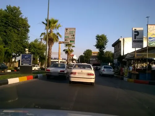
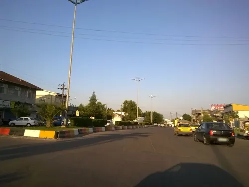
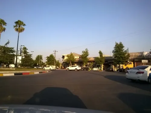
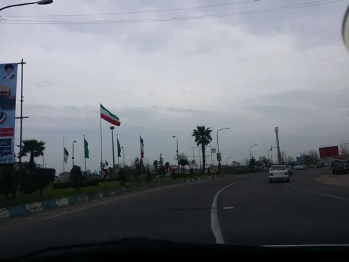
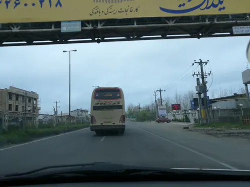
- Mapillary (see each image): photos
- OpenStreetMap contributors (ODbL 1.0): places, airports, map data
- Wikidata (CC0 1.0): elevation, founding date, time zone, website
- Wikimedia Commons (see each image): photos
- Wikipedia (CC BY-SA 4.0): overview and history text
Photo credits
- Jalaleddin-ashraf-Shrine-3, Jilas.wox, Public domain
- (((بقعه جلال الدین اشرف))) - panoramio, auoob farabi, CC BY-SA 3.0
- Mohammad Moin Tomb 3289, GTVM92, CC BY-SA 4.0
- Mohammad Moin Tomb 3283, GTVM92, CC BY-SA 4.0
- Mohammad Moin Tomb 3315, GTVM92, CC BY-SA 4.0
- Mohammad Moin Tomb 3355, GTVM92, CC BY-SA 4.0
- Mohammad Moin Tomb 3357, GTVM92, CC BY-SA 4.0
- Mohammad Moin Tomb 3303, GTVM92, CC BY-SA 4.0
- Mohammad Moin Tomb 3300, GTVM92, CC BY-SA 4.0
- Mohammad Moin Tomb 3298, GTVM92, CC BY-SA 4.0
- Mohammad Moin Tomb 3305, GTVM92, CC BY-SA 4.0
- Mohammad Moin Tomb 3309, GTVM92, CC BY-SA 4.0
- Mohammad Moin Tomb 3332, GTVM92, CC BY-SA 4.0
- Mohammad Moin Tomb 3342, GTVM92, CC BY-SA 4.0
- Mohammad Moin Tomb 3291, GTVM92, CC BY-SA 4.0
- Astaneh-ye Ashrafiyeh, Gilan Province, Iran - panoramio, هاوبەشی مامە دارا, CC BY 3.0
- Astaneh-ye Ashrafiyeh, Gilan Province, Iran - panoramio (1), هاوبەشی مامە دارا, CC BY 3.0
- Gilan Province, Astaneh-ye Ashrafiyeh, Astaneh-ye Ashrafiyeh Ring Rd, Iran - panoramio, هاوبەشی مامە دارا, CC BY 3.0
- Sefidrood, Sajbadina, CC BY-SA 4.0
- Sefidrood360, Sajbadina, CC BY-SA 4.0
- Sefidrood2, Sajbadina, CC BY-SA 4.0
- Pole kheshti niyakoo 5, پرهام6788, CC BY-SA 4.0
- Pole kheshti niyakoo 4, پرهام6788, CC BY-SA 4.0
- Street-level photo, pilsa, CC BY-SA 4.0
- Street-level photo, foshtomi, CC BY-SA 4.0
- Street-level photo, foshtomi, CC BY-SA 4.0
- Street-level photo, foshtomi, CC BY-SA 4.0
- Street-level photo, foshtomi, CC BY-SA 4.0
- Street-level photo, foshtomi, CC BY-SA 4.0
- Street-level photo, pilsa, CC BY-SA 4.0
- Street-level photo, foshtomi, CC BY-SA 4.0
- Street-level photo, pilsa, CC BY-SA 4.0
- Street-level photo, pilsa, CC BY-SA 4.0
- Street-level photo, pilsa, CC BY-SA 4.0
- Street-level photo, foshtomi, CC BY-SA 4.0
- Street-level photo, pilsa, CC BY-SA 4.0


Page built November 8, 2026. Spotted a mistake? Tell us or suggest a place.