


Shahrak-e Shāţarreh, Iran
شاطره (اسلامشهر)
Shahrak-e Shāţarreh is a town of 7,150 people in Tehran, Iran.
Why visit Shahrak-e Shāţarreh
Townapedia lists 5 parks and trails and 6 places to eat in and around town.
Weather in Shahrak-e Shāţarreh
Forecast from MET Norway (CC BY 4.0). Full forecast
About Shahrak-e Shāţarreh
Shatareh (Persian: شاطره) is a village in Bahramabad Rural District of the Central District of Eslamshahr County, Tehran province, Iran.
From the Wikipedia article Shatareh (this version), under CC BY-SA 4.0.
Parks, trails and playgrounds5


Restaurants and cafes6
تالار پارسیس
Restaurant · 2.5 km
تهران، بزرگراه آیت الله سعیدی، پشت مترو چهاردانگه، نبش خیابان آهوان, چهاردانگه
24/7

رستوران ممتاز پلاس
Restaurant · 1.8 km
حجت الله کشاورز, چهاردانگه
Mo-Su 09:00-22:30

Churches and places of worship5

امامزاده عباس
Place of worship · Shia · 1.8 km
بزرگراه آیت الله سعیدی, چهاردانگه
Shopping5



Gas and EV charging2
Schools, colleges and libraries1
Healthcare4
Map of Shahrak-e Shāţarreh
28 places. The map loads OpenStreetMap tiles when you open it.
Getting there and nearby towns
Mehrabad International Airport (THR) is the nearest airport with scheduled flights listed in OpenStreetMap, 11 km away.
- Eslamshahr 6 km southwest, about 6 min by car
- Golestān 12 km southwest, about 12 min by car
- Bāqershahr 12 km southeast, about 12 min by car
- Ṣāleḥīeh 13 km southwest, about 13 min by car
- Tehran 17 km northeast, about 17 min by car
- Qods 22 km northwest, about 22 min by car
- Shahrīār 22 km west, about 22 min by car
- Robāţ Karīm 22 km southwest, about 22 min by car
- Shahre Jadide Andisheh 26 km northwest, about 26 min by car
- Ḩasanābād 25 km south, about 25 min by car
Drive times are estimates from straight-line distance, not routes.
Local news
Headlines from INDB.
Reviews, tips and questions
Loading what members have shared...
Sources and licences
- GeoNames (CC BY 4.0): population, coordinates, regions and time zone
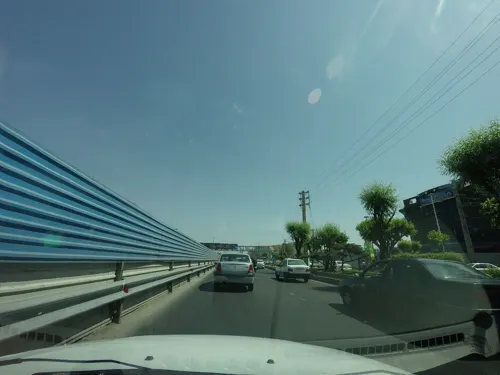
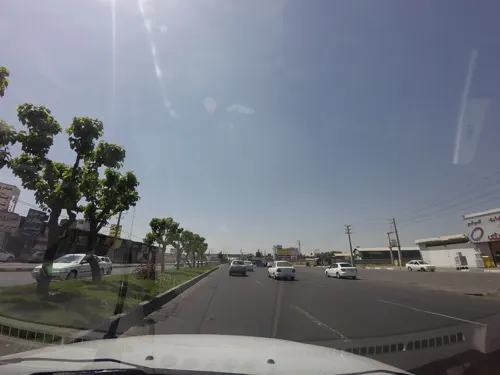
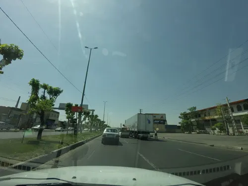
- Mapillary (see each image): photos
- OpenStreetMap contributors (ODbL 1.0): places, airports, map data
- Wikidata (CC0 1.0): elevation, founding date, time zone, website
- Wikimedia Commons (see each image): photos
- Wikipedia (CC BY-SA 4.0): overview and history text
Photo credits
- گلدسته - panoramio (6), Mojtaba zali, CC BY 3.0
- گلدسته - panoramio (15), Mojtaba zali, CC BY 3.0
- بانك پاسارگاد - panoramio, Mojtaba zali, CC BY 3.0
- گلدسته - panoramio (16), Mojtaba zali, CC BY 3.0
- پل زیر گزر گلدسته - panoramio, Mojtaba zali, CC BY 3.0
- 13 بدر - panoramio (1), Mojtaba zali, CC BY 3.0
- 13 بدر - panoramio, Mojtaba zali, CC BY 3.0
- گلدسته - panoramio (14), Mojtaba zali, CC BY 3.0
- گلدسته - panoramio (2), Mojtaba zali, CC BY 3.0
- گلدسته - panoramio (4), Mojtaba zali, CC BY 3.0
- گلدسته - panoramio (5), Mojtaba zali, CC BY 3.0
- گلدسته - panoramio (3), Mojtaba zali, CC BY 3.0
- شهرک صنعتی - panoramio, Mojtaba zali, CC BY 3.0
- مجتمع کاوه - panoramio, Mojtaba zali, CC BY 3.0
- مجتمع تجاری - panoramio, Mojtaba zali, CC BY 3.0
- گلدسته - panoramio (13), Mojtaba zali, CC BY 3.0
- شهرک صنعتی - panoramio (3), Mojtaba zali, CC BY 3.0
- شهرک صنعتی - panoramio (2), Mojtaba zali, CC BY 3.0
- شهرک صنعتی - panoramio (1), Mojtaba zali, CC BY 3.0
- ISS043-E-79203 - View of Earth, Earth Science and Remote Sensing Unit , Lyndon B. Johnson Space Center, Public domain
- ISS043-E-79202 - View of Earth, Earth Science and Remote Sensing Unit , Lyndon B. Johnson Space Center, Public domain
- شهرک صنعتی - panoramio (4), Mojtaba zali, CC BY 3.0
- ابتدای شهرک صنعتی - panoramio, Mojtaba zali, CC BY 3.0
- سر شهرک صنعتی - panoramio, Mojtaba zali, CC BY 3.0
- شهرک صنعتی - panoramio (5), Mojtaba zali, CC BY 3.0
- کامیون 19 تُن دیما, Mafco2010, CC BY-SA 4.0
- کامیونت دیما, Mafco2010, CC BY-SA 4.0
- به سمت گلدسته هوا برفی - panoramio (3), Mojtaba zali, CC BY 3.0
- تالار تندیس وبانکهای ملی وصادرات - panoramio, Mojtaba zali, CC BY 3.0
- پارک گلدسته - panoramio (3), Mojtaba zali, CC BY 3.0
- پارک گلدسته - panoramio, Mojtaba zali, CC BY 3.0
- پارک گلدسته - panoramio (1), Mojtaba zali, CC BY 3.0
- پارک گلدسته - panoramio (2), Mojtaba zali, CC BY 3.0
- سه راهی شمس آباد - panoramio, Mojtaba zali, CC BY 3.0
- گلدسته - panoramio (10), Mojtaba zali, CC BY 3.0
- گلدسته یه روز نیمه برفی - panoramio, Mojtaba zali, CC BY 3.0
- تصادف - panoramio, Mojtaba zali, CC BY 3.0
- به سمت گلدسته هوا برفی - panoramio (2), Mojtaba zali, CC BY 3.0
- گلدسته - panoramio (7), Mojtaba zali, CC BY 3.0
- گلدسته - panoramio (8), Mojtaba zali, CC BY 3.0
- Street-level photo, mohammadjavad72, CC BY-SA 4.0
- Street-level photo, mohammadjavad72, CC BY-SA 4.0
- Street-level photo, mohammadjavad72, CC BY-SA 4.0


Page built November 8, 2026. Spotted a mistake? Tell us or suggest a place.