
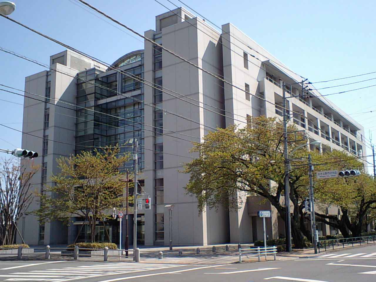


Akiruno, Japan
あきる野市
Akiruno is a town of 81,912 people in Tokyo, Japan, founded in September 1, 1995.
Why visit Akiruno
Townapedia lists 120 museums and landmarks, 94 parks and trails, 93 places to eat, 6 places to stay and 44 attractions in and around town.
Highlights include Sōka University, Tokyo Junshin University, Itsukaichi Local Museum and 日の出山荘.
Weather in Akiruno
Forecast from MET Norway (CC BY 4.0). Full forecast
About Akiruno
Akiruno (あきる野市, Akiruno-shi; Japanese pronunciation: [ä̀.k̟ʲí.ɾɯ̈́.nó̞(.ɕì)]) is a city located in the western portion of the Tokyo Metropolis, Japan. As of 1 April 2021, the city had an estimated population of 80,177, and a population density of 1100 persons per km2. The total area of the city is 73.47 square kilometres (28.37 sq mi).
From the Wikipedia article Akiruno, Tokyo (this version), under CC BY-SA 4.0.
Things to do44


Tokyo Junshin University
School · 10.1 km
Japan private women's college



32 more on the map.
Museums and landmarks120



Funada Stone Age Site
Monument and historic site · 9.9 km
Archaeological site in Japan
Nishiakiru Stone Age Dwelling Site
Monument and historic site · 5.3 km
Archaeological site in Japan

108 more on the map.
Parks, trails and playgrounds94





82 more on the map.
Restaurants and cafes93


Steak Don
Restaurant · Steak · 5.1 km
1, あきる野市
Mo-Su 11:00-00:00
81 more on the map.
History
The area of present-day Akiruno was part of ancient Musashi Province. In the post-Meiji Restoration cadastral reform of July 22, 1878, the area became part of Nishitama District in Kanagawa Prefecture. The town of Itsukaichi was created on April 1, 1889, with the establishment of the modern municipalities system. Nishitama District was transferred to the administrative control of Tokyo Metropolis on April 1, 1893. Itsukaichi expanded through annexation of neighboring villages in 1918 and 1955. Higashiakiru, Nishiakiru, and Tasai grouped together on April 1, 1955, to form the town of Akigawa, which was elevated to city status on May 5, 1971. The city of Akiruno was created on September 1, 1995, by the merger of the city of Akigawa with the neighboring town of Itsukaichi.
From the History section of Akiruno, Tokyo on Wikipedia, under CC BY-SA 4.0.
Where to stay6
Churches and places of worship110
Shopping17
Gas and EV charging13
Schools, colleges and libraries36
Healthcare45
Map of Akiruno
250 places. The map loads OpenStreetMap tiles when you open it.
Getting there and nearby towns
Yokota Air Base (OKO) is the nearest airport with scheduled flights listed in OpenStreetMap, 11 km away.
- Itsukaichi 1 km west, about 1 min by car
- Ōme 6 km north, about 6 min by car
- Fussa 8 km east, about 8 min by car
- Hamura 9 km northeast, about 9 min by car
- Hachiōji 12 km southeast, about 12 min by car
- Hakonegasaki 12 km northeast, about 12 min by car
- Akishima 13 km east, about 13 min by car
- Aihara 16 km southeast, about 16 min by car
- Iruma 16 km northeast, about 16 min by car
- Hannō 16 km northeast, about 16 min by car
Drive times are estimates from straight-line distance, not routes.
Local news
Headlines from INDB.
Reviews, tips and questions
Loading what members have shared...
Sources and licences
- GeoNames (CC BY 4.0): population, coordinates, regions and time zone
- OpenStreetMap contributors (ODbL 1.0): places, airports, map data
- Wikidata (CC0 1.0): elevation, founding date, time zone, website, landmarks and historic places
- Wikimedia Commons (see each image): photos
- Wikipedia (CC BY-SA 4.0): overview and history text
Photo credits
- Akiruno City Hall, ja:user:Hanasakijijii, CC BY-SA 3.0
- Yokosawa, Akiruno, Tokyo 190-0141, Japan - panoramio, moonwalker76, CC BY 3.0
- The site of Tsutomu Miyazaki's home, in Kowada, Akiruno City, Tokyo, 要塞騎士, CC BY-SA 4.0
- Soka University Founders Hall, Beyond My Ken, CC BY-SA 4.0
- TokyoFujiArtMuseum2, Tanuki32, CC BY-SA 4.0
- OmeRailwayPark-c, Unknown author, CC BY-SA 3.0
- Ume park 梅 公園, Arashiyama, CC BY-SA 3.0
- 東京サマーランド, Hanasakijijii, CC BY-SA 3.0
- AEON Mall Hinode 3, 103momo ( talk · contribs ), CC BY-SA 3.0
- Akiru Municipal Medical Center, Waka77, Public domain
- Hinode seiundo, n-matu, Public domain
- Keifuku-ji, Hachioji, 運動会プロテインパワー, CC BY-SA 4.0
- 秋留台公園 バラ園, 多摩に暇人 ( 会話 ), CC BY 3.0
- 阿伎留神社 正面, Saigen Jiro, Public domain
- Hoshoji(Hachioji) 01, Homare21, CC BY-SA 4.0
- P 20211113 141926, PASMORO, CC BY-SA 4.0
- Chofuku-ji, Hachioji, 運動会プロテインパワー, CC BY-SA 4.0
- Keifuku-ji (Hachioji) 20260809 01, Suikotei, CC BY 4.0
- Kokei-ji, Hachioji 202509-2, 運動会プロテインパワー, CC BY-SA 4.0
- Kougon-ji, Akiruno 202508-1, 運動会プロテインパワー, CC BY-SA 4.0
- Shinsho-ji 202506-1, 運動会プロテインパワー, CC BY-SA 4.0
- Seishun-gou1, Sphl, CC BY-SA 3.0
- Musashi-Itsukaichi station building, Niiryoku2910, CC BY-SA 4.0
- Runobus EV BYD J6, Suikotei, CC BY 4.0
- Musashi-Itsukaichi station platform, Niiryoku2910, CC BY-SA 4.0
- 武蔵五日市駅 - panoramio, moonwalker76, CC BY 3.0
- 秋川 - panoramio - nobuto m (3), nobuto_m, CC BY-SA 3.0
- 秋川 - panoramio (1), suzune konoo, CC BY-SA 3.0
- 秋川 - panoramio - nobuto m (4), nobuto_m, CC BY-SA 3.0
- 秋川 - panoramio - nobuto m (5), nobuto_m, CC BY-SA 3.0
- Old Komine Tunnel at Night 2026, ノーマルエディタ, CC BY-SA 4.0
- 秋川 - panoramio - nobuto m (2), nobuto_m, CC BY-SA 3.0
- 平井ノ頭 2013-12-08 - Hirai no Kashira - panoramio, takeshi yagi, CC BY-SA 3.0
- Hirai, Hinode, Nishitama District, Tokyo 190-0182, Japan - panoramio (2), moonwalker76, CC BY 3.0
- - panoramio (4126), moonwalker76, CC BY 3.0
- Hirai, Hinode, Nishitama District, Tokyo 190-0182, Japan - panoramio (3), moonwalker76, CC BY 3.0
- Hirai, Hinode, Nishitama District, Tokyo 190-0182, Japan - panoramio (1), moonwalker76, CC BY 3.0
- Sajigami shrines Shidare-Akashide B, Sakaori ( talk ), CC BY 3.0
- Sajigami shrines Shidare-Akashide C, Sakaori ( talk ), CC BY 3.0
- Sajigami shrines Shidare-Akashide E, Sakaori ( talk ), CC BY 3.0


Page built November 5, 2026. Spotted a mistake? Tell us or suggest a place.