


Ino, Japan
いの町
Ino is a town of 22,155 people in Kochi, Japan, founded in October 1, 2004.
Why visit Ino
Townapedia lists 28 museums and landmarks, 145 parks and trails, 62 places to eat, 6 places to stay and 19 attractions in and around town.
Highlights include Katsurahama, Katsurahama Aquarium, Kōchi Castle Museum of History and The Museum of Art, Kōchi.
Weather in Ino
Forecast from MET Norway (CC BY 4.0). Full forecast
About Ino
Ino (いの町, Ino-chō) is a town located in Agawa District, Kōchi Prefecture, Japan. As of 30 June 2022, the town had an estimated population of 21,672 in 10403 households and a population density of 46 persons per km2. The total area of the town is 470.97 square kilometres (181.84 sq mi). The town is famous for the production of Japanese paper (和紙, washi).
From the Wikipedia article Ino, Kōchi (this version), under CC BY-SA 4.0.
Things to do19


Katsurahama Aquarium
Monument and historic site · 14.3 km
Aquarium in Kōchi, Japan

Kōchi University
School · 4.9 km
Higher education institution in Kōchi Prefecture, Japan

University of Kochi
School · 14.1 km
Public university in Kōchi, Japan

7 more on the map.
Museums and landmarks28

Kōchi Castle Museum of History
Museum · 9.4 km
Museum in Kōchi, Kōchi, Japan

The Museum of Art, Kōchi
Museum · 13.0 km
Art museum in Kōchi, Kōchi, Japan



16 more on the map.
Parks, trails and playgrounds145




133 more on the map.
Restaurants and cafes62


50 more on the map.
History
As with all of Kōchi Prefecture, the area of Ino was part of ancient Tosa Province. During the Edo period, the area was part of the holdings of Tosa Domain ruled by the Yamauchi clan from their seat at Kōchi Castle. Following the Meiji restoration, the village of Ino was established within Agawa District, Kōchi with the creation of the modern municipalities system on October 1, 1889. On October 1, 2004, the village of Gohoku, also from Agawa District, and the village of Hongawa, from Tosa District, were merged into Ino, increasing its size by almost a factor of five.
From the History section of Ino, Kōchi on Wikipedia, under CC BY-SA 4.0.
Where to stay6
Churches and places of worship103
Shopping24
Gas and EV charging5
Schools, colleges and libraries59
Healthcare27
Map of Ino
250 places. The map loads OpenStreetMap tiles when you open it.
Getting there and nearby towns
Kochi Ryoma Airport (KCZ) is the nearest airport with scheduled flights listed in OpenStreetMap, 22 km away.
- Sakawa 15 km west, about 15 min by car
- Niihama 47 km north, about 47 min by car
- Kawanoechō 54 km north, about 54 min by car
- Haramachi 64 km northwest, about 1 h by car
- Kan’onjichō 67 km north, about 1 h by car
- Matsuyama 70 km northwest, about 1 h 15 min by car
- Imabari 70 km northwest, about 1 h 15 min by car
- Iyo 71 km west, about 1 h 15 min by car
- Masaki-chō 72 km west, about 1 h 15 min by car
- Hōjō 77 km northwest, about 1 h 15 min by car
Drive times are estimates from straight-line distance, not routes.
Local news
Headlines from INDB.
Reviews, tips and questions
Loading what members have shared...
Sources and licences
- GeoNames (CC BY 4.0): population, coordinates, regions and time zone
- OpenStreetMap contributors (ODbL 1.0): places, airports, map data
- Wikidata (CC0 1.0): elevation, founding date, time zone, website, landmarks and historic places
- Wikimedia Commons (see each image): photos
- Wikipedia (CC BY-SA 4.0): overview and history text
Photo credits
- JR Ino Station, tosimisi, CC BY-SA 2.0
- 20210808 LAWSON and Idemitsu in front of Ino Station, Rsa, CC BY-SA 3.0
- JR Ino station2, tosimisi, CC BY-SA 2.0
- 20210808 Ino Station station-wicket, Rsa, CC BY-SA 3.0
- Bank of Kōchi Ino Branch, ラハール, CC BY-SA 4.0
- Shikoku Bank Ino Branch, ラハール, CC BY-SA 4.0
- Hyakujūshi Bank Ino Branch, ラハール, CC BY-SA 4.0
- Sugiyama-Shrine Ino, Kochi, 妖精書士, CC0
- Ino-exit-tollgate-1, Takuwanbento1098, CC BY-SA 4.0
- Kochi Katsurahama Daytime 1, 京浜にけ, CC BY-SA 3.0
- Katsurahama Aquarium 01, Mugu-shisai, CC BY-SA 3.0
- Kochi University, Bakkai at Japanese Wikipedia, CC BY-SA 3.0
- Kochi Womens University02s3200, 663highland, CC BY 2.5
- Kochi catsle museum - 高知城歴史博物館 - panoramio, z tanuki, CC BY 3.0
- The Museum of Art Kochi08s3872, 663highland, CC BY 2.5
- Kyu-Yamanouchike shimoyashiki nagaya01s3200, 663highland, CC BY 2.5
- Iozan Kiyotakiji 03, Reggaeman, CC BY-SA 3.0
- 独立行政法人国立病院機構高知病院 2014-02-18 19-43, User:Kaityu20, CC BY-SA 3.0
- Tanemaji 02, Reggaeman, CC BY-SA 3.0
- Haruno Sports Park, 国土地理院, CC BY 4.0
- Korizu-jinja haiden, Saigen Jiro, CC0
- Tosa municipal hospital, Kaityu20, CC BY-SA 4.0
- Ino Business high school, Bakkai, CC BY-SA 3.0
- Kochi Asakura Elementary School, hyolee2, CC BY-SA 4.0
- Kochi Asahi Junior High School, hyolee2, CC BY-SA 4.0
- Kiyotakiji 01, Dokudami, CC BY-SA 4.0
- Tanemaji 20230411 1, Araiyasushige, CC BY-SA 4.0
- Kochi Asakura 2nd Elementary School, hyolee2, CC BY-SA 4.0
- Kochi Asakura Junior High School, hyolee2, CC BY-SA 4.0
- Korizu-jinja haiden-2, Saigen Jiro, CC0
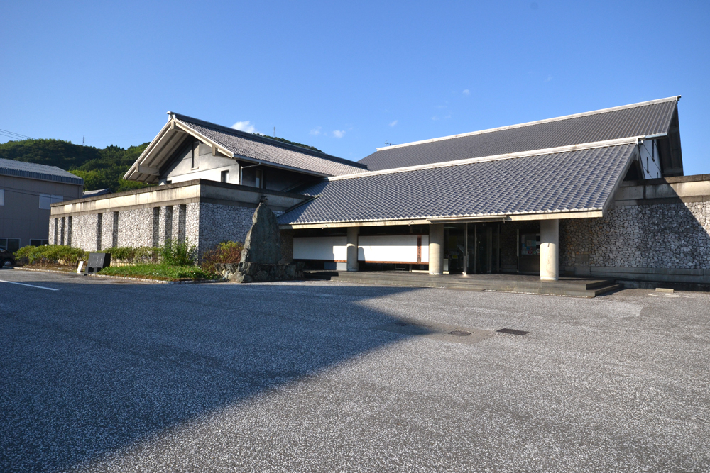
- いの町紙の博物館, Oyazo, CC BY-SA 3.0
- 仁淀病院, Kaityu20, CC BY-SA 3.0
- 国道33号線・伊野駅前バス停 - panoramio, minamikaze, CC BY 3.0
- いの町新町付近 - panoramio, minamikaze, CC BY 3.0
- 伊野電停東側 - panoramio, minamikaze, CC BY 3.0
- いの町の琴平神社の桜 - panoramio, minamikaze, CC BY 3.0
- R033-074, Puchi-masashi, CC BY-SA 4.0
- Edagawa station, Dosan-line 02, Navian, Public domain
- Edagawa station, Dosan-line 01, Navian, Public domain
- R194-2020-067, Puchi-masashi, CC BY-SA 4.0
- Having dinner with the other guests at Kōchi Youth Hostel (6453640039), Maarten Heerlien from Voorschoten, The Netherlands, CC BY 2.0


Page built November 5, 2026. Spotted a mistake? Tell us or suggest a place.