
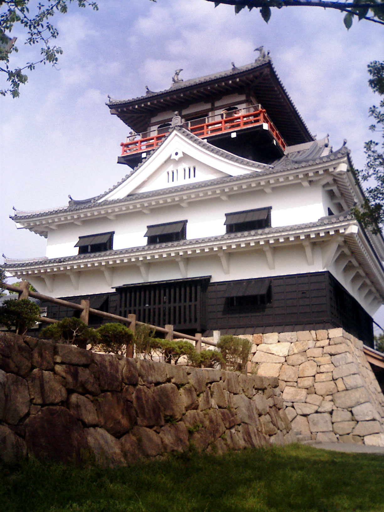


Kawanoechō, Japan
川之江市
Kawanoechō is a town of 37,641 people in Ehime, Japan, founded in November 1, 1954.
Why visit Kawanoechō
Townapedia lists 7 museums and landmarks, 6 parks and trails, 2 places to eat, 4 places to stay and 2 attractions in and around town.
Highlights include Kaminomachi Papercity Museum and 川之江城天守閣.
Weather in Kawanoechō
Forecast from MET Norway (CC BY 4.0). Full forecast
About Kawanoechō
Kawanoe (川之江市, Kawanoe-shi) was a city located in Ehime Prefecture, Japan. The city was founded on November 1, 1954.
From the Wikipedia article Kawanoe, Ehime (this version), under CC BY-SA 4.0.
Things to do2

Museums and landmarks7


Parks, trails and playgrounds6

Restaurants and cafes2


Where to stay4
Churches and places of worship4
Shopping4
Schools, colleges and libraries6
Healthcare4
Map of Kawanoechō
39 places. The map loads OpenStreetMap tiles when you open it.
Getting there and nearby towns
Takamatsu Airport (TAK) is the nearest airport with scheduled flights listed in OpenStreetMap, 46 km away.
- Niihama 26 km west, about 26 min by car
- Marugame 35 km northeast, about 35 min by car
- Imabari 54 km west, about 54 min by car
- Fukuyama 55 km north, about 55 min by car
- Kurashiki 65 km north, about 1 h by car
- Hōjō 74 km west, about 1 h 15 min by car
- Matsuyama 78 km west, about 1 h 15 min by car
- Haramachi 78 km west, about 1 h 15 min by car
- Masaki-chō 84 km west, about 1 h 30 min by car
- Higashihiroshima 89 km northwest, about 1 h 30 min by car
Drive times are estimates from straight-line distance, not routes.
Local news
Headlines from INDB.
Reviews, tips and questions
Loading what members have shared...
Sources and licences
- GeoNames (CC BY 4.0): population, coordinates, regions and time zone
- OpenStreetMap contributors (ODbL 1.0): places, airports, map data
- Wikidata (CC0 1.0): elevation, founding date, time zone, website
- Wikimedia Commons (see each image): photos
- Wikipedia (CC BY-SA 4.0): overview and history text
Photo credits
- KawanoeJo-Fukugen, Toto-tarou, CC BY-SA 3.0
- Shikoku Central Hospital, アラツク, CC BY-SA 4.0
- 四国中央市立川之江小学校, キアラア, CC0
- Kawanoe Castle001, Toto-tarou, CC BY-SA 4.0
- 四国中央市立川之江北中学校, キアラア, CC0
- JR Kawanoe Station - panoramio (1), DVMG, CC BY 3.0
- JR Kawanoe Station - panoramio, DVMG, CC BY 3.0
- JR Kawanoe Station - panoramio (2), DVMG, CC BY 3.0
- JR Kawanoe Station - panoramio (3), DVMG, CC BY 3.0
- Shioya Crossing - panoramio, ball banban, CC BY 3.0
- 川之江駅舎内2, キアラア, CC0
- 川之江駅舎内, キアラア, CC0
- 川之江駅舎, キアラア, CC0
- 川之江駅前商店街, キアラア, CC0
- 川之江港付近 - panoramio, ball banban, CC BY 3.0
- 秀ブ - panoramio, ball banban, CC BY 3.0
- 川之江港湾運送, キアラア, CC0
- Iyo Bank Kawanoe Branch, ラハール, CC BY-SA 4.0
- Chūgoku Bank Kawanoe Branch, ラハール, CC BY-SA 4.0
- Kagawa Bank Kawanoe Branch, ラハール, CC BY-SA 4.0
- Hiroshima Bank Kawanoe Branch, ラハール, CC BY-SA 4.0
- Kinsei river - panoramio, DVMG, CC BY 3.0
- Kinseichoshimobun - panoramio (1), DVMG, CC BY 3.0
- Kinseichoshimobun - panoramio, DVMG, CC BY 3.0
- 川之江港の夕焼け - panoramio, ball banban, CC BY 3.0
- R192-2020-295, Puchi-masashi, CC BY-SA 4.0
- R011-197, Puchi-masashi, CC BY-SA 4.0


Page built November 4, 2026. Spotted a mistake? Tell us or suggest a place.