



Kitahiroshima, Japan
北広島市
Kitahiroshima is a town of 58,918 people in Hokkaido, Japan, founded in September 1, 1996.
Why visit Kitahiroshima
Townapedia lists 11 museums and landmarks, 177 parks and trails, 54 places to eat, 8 places to stay and 10 attractions in and around town.
Highlights include Hokkaido Information University, Hokusei Gakuen University, Former Shimamatsu Relay Station and Historical Village of Hokkaido.
Weather in Kitahiroshima
Forecast from MET Norway (CC BY 4.0). Full forecast
About Kitahiroshima
Kitahiroshima (北広島市, Kitahiroshima-shi) is a city located in Ishikari, Hokkaido, Japan. It is a suburb of Sapporo, adjoining the prefectural capital directly to the east. The city's name has a literal meaning of "North Hiroshima City".
From the Wikipedia article Kitahiroshima, Hokkaido (this version), under CC BY-SA 4.0.
Travel tips from other travellers: Kitahiroshima on Wikivoyage (CC BY-SA 4.0).
Things to do10

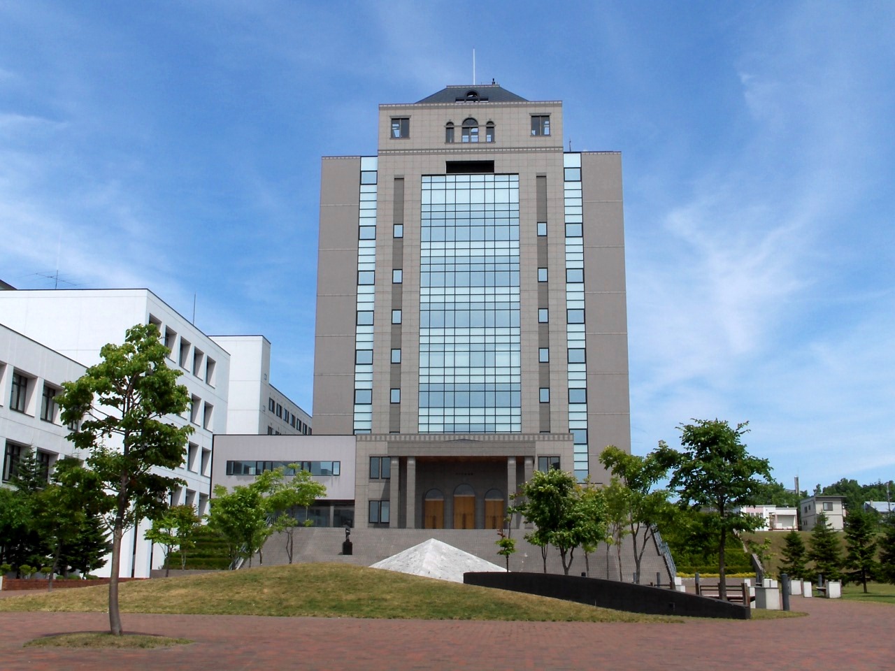
Hokkaido Information University
School · 11.6 km
University in Ebetsu, Japan
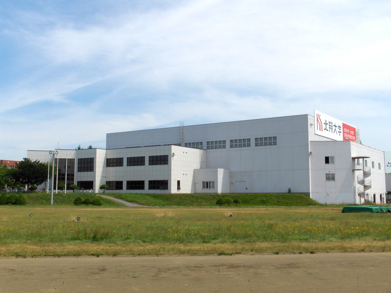

Rakuno Gakuen University
School · 11.7 km
Private university in Japan
Sapporo International University
School · 11.8 km
Japanese university



Museums and landmarks11


Historical Village of Hokkaido
Museum · 9.9 km
Museum in Sapporo, Hokkaido, Japan

Karinba Site
Monument and historic site · 10.0 km
Archaeological site in Eniwa, Hokkaido, Japan


Parks, trails and playgrounds177



Nopporo Shinrin Kouen Prefectural Natural Park
Park · 10.1 km
Natural park in Hokkaido, Japan



165 more on the map.
Restaurants and cafes54

かねひろ
Restaurant · Regional · 8.8 km
Mo-We,Fr-Su,PH 10:30-18:30 "1階ジンギスカン・精肉販売"; Th off "祝日の場合火曜日に変更";...


42 more on the map.
History
On September 1, 1996, Hiroshima Town was upgraded to be classified as a city, but as the city of Hiroshima in Hiroshima Prefecture already existed, the municipality was renamed to Kitahiroshima to prevent two cities having the same name.
1996: Hiroshima Town gained city status and was renamed Kitahiroshima.
From the History section of Kitahiroshima, Hokkaido on Wikipedia, under CC BY-SA 4.0.
Where to stay8
Churches and places of worship38
Shopping31
Gas and EV charging21
Schools, colleges and libraries50
Healthcare24
Map of Kitahiroshima
250 places. The map loads OpenStreetMap tiles when you open it.
Getting there and nearby towns
Sapporo Okadama Airport (OKD) is the nearest airport with scheduled flights listed in OpenStreetMap, 22 km away.
- Naganuma 11 km east, about 11 min by car
- Ebetsu 15 km north, about 15 min by car
- Kuriyama 20 km northeast, about 20 min by car
- Sapporo 20 km northwest, about 20 min by car
- Tōbetsu 27 km north, about 27 min by car
- Iwamizawa 29 km northeast, about 29 min by car
- Shiraoi 51 km south, about 51 min by car
- Noboribetsu 66 km southwest, about 1 h by car
- Kutchan 68 km west, about 1 h 15 min by car
- Yoichi 70 km west, about 1 h 15 min by car
Drive times are estimates from straight-line distance, not routes.
Local news
Headlines from INDB.
Reviews, tips and questions
Loading what members have shared...
Sources and licences
- GeoNames (CC BY 4.0): population, coordinates, regions and time zone
- OpenStreetMap contributors (ODbL 1.0): places, airports, map data
- Wikidata (CC0 1.0): elevation, founding date, time zone, website, landmarks and historic places
- Wikimedia Commons (see each image): photos
- Wikipedia (CC BY-SA 4.0): overview and history text
Photo credits
- KitaHiroshimaEkimae HokkaidoChuoBus 20230729, Olegushka, CC0
- Kitahiroshima Station at night (cropped), 掬茶, CC BY-SA 4.0
- Kitahiroshima Station at night, 掬茶, CC BY-SA 4.0
- Rakuno gakuen daigaku campus, Kuriki at Japanese Wikipedia, Public domain
- Sapporo Gakuin University, K. Takeda at Japanese Wikipedia, CC BY-SA 3.0
- Sapporo International University, The original uploader was Hykw-a4 at Japanese Wikipedia ., CC BY-SA 3.0
- 北海道開拓の村(Historical Village of Hokkaido) - panoramio (1), t-konno, CC BY-SA 3.0
- Eniwa-KarinbaRuins1, Prosperosity, CC BY-SA 3.0
- Sapporo LDS Temple 3, Tomoyuki Miyauchi, CC BY-SA 4.0
- ES CON FIELD HOKKAIDO exterior from south 202607a, 掬茶, CC BY-SA 4.0
- Mizuhoike, Route275, CC BY-SA 3.0
- Megumino Hospital, Ozizo, Public domain
- Matsue-shougakkou, Prosperosity, CC BY-SA 3.0
- Shimamatsuekiteisyo, Route275 at Japanese Wikipedia, CC BY 3.0
- Flame of Peace Park of Kitahiroshima, 禁樹なずな, CC BY-SA 4.0
- Hokusho University, K. Takeda at Japanese Wikipedia, CC BY-SA 3.0
- Eniwa-KitaHS, Prosperosity, CC BY-SA 3.0
- Hokkaido Kitahiroshima High School 202304, 禁樹なずな, CC BY-SA 4.0
- Hokkaido Kitahiroshima Nishi High School, 禁樹なずな, CC BY-SA 4.0
- Hiraoka Park, モンモン, Public domain
- Hokkaido Sapporo Special Support School, 禁樹なずな, CC BY-SA 4.0
- Meguchu02, けっけ, CC BY-SA 3.0
- Megusyo3, けっけ, CC BY-SA 3.0
- Megu-asahi05, けっけ, CC BY-SA 3.0
- Kitahiroshima City Kitanodai Elementary School, 禁樹なずな, CC BY-SA 4.0
- Frespo Megumino North, Psjk2106, CC BY-SA 4.0
- Kitahiroshima City Omagari Elementary School, 禁樹なずな, CC BY-SA 4.0
- Kitahiroshima City Seibu Junior High School, 禁樹なずな, CC BY-SA 4.0
- Kitahiroshima City Seibu Elementary School, 禁樹なずな, CC BY-SA 4.0
- 山岡家 北広島店 - panoramio, kazuya.m, CC BY-SA 3.0
- ES CON Field Hotel, 掬茶, CC BY-SA 4.0
- Tonarie at night, 掬茶, CC BY-SA 4.0
- 認定こども園 北広島わかば幼稚園, 通りすがりの吟遊詩人, CC BY-SA 4.0
- エスコンフィールド北海道を、特徴的なガラス張りの部分を撮影した画像, Reetlol, CC BY-SA 4.0
- F Village Le JADE Hokkaido Ballpark, 掬茶, CC BY-SA 4.0
- ES CON FIELD HOKKAIDO exterior from south 202607b, 掬茶, CC BY-SA 4.0
- F Village Villa Bramare (waterside), 掬茶, CC BY-SA 4.0
- Le JADE Hokkaido Ballpark, 掬茶, CC BY-SA 4.0
- F Village Villa Bramare (hillside), 掬茶, CC BY-SA 4.0
- F Village The Lodge 202607, 掬茶, CC BY-SA 4.0


Page built November 5, 2026. Spotted a mistake? Tell us or suggest a place.