


Loading the weather...
Population11,642
GeoNames
RegionMiyazaki
Elevation280 m
919 ft
Time zoneAsia/Tokyo
Nearest airportKumamoto Airport (KMJ)
45 km
Why visit Mitai
Townapedia lists 11 museums and landmarks, 1 park or trail, 21 places to eat, 11 places to stay and 5 attractions in and around town.
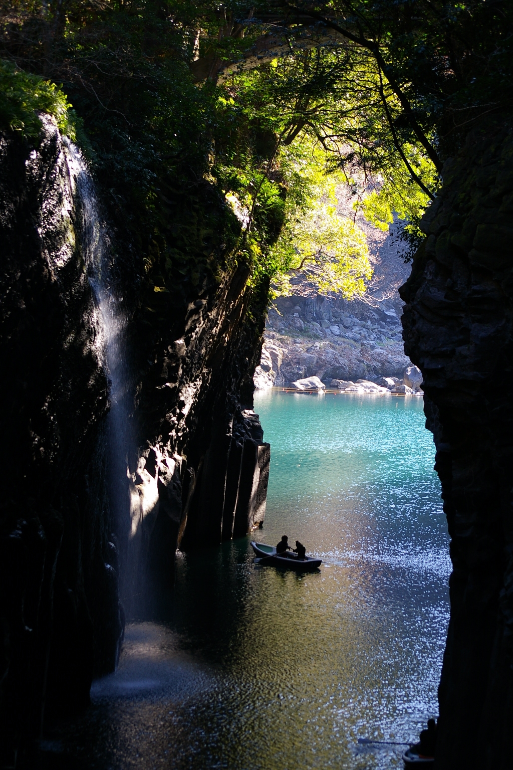
Highlights include Manai Falls and 高千穂峡淡水魚水族館.
Weather in Mitai
Forecast from MET Norway (CC BY 4.0). Full forecast
Things to do5



Museums and landmarks11


Parks, trails and playgrounds1

Advertisement
Restaurants and cafes21

Soba Tempura
Restaurant · Japanese · 1.3 km
Mo-Su 11:00-15:00,17:00-20:00


Takachiho Restaurant Nagomi
Restaurant · Japanese · 1.0 km
Mo-Su 11:00-14:30,17:00-21:00

9 more on the map.
Where to stay11
Churches and places of worship6
Advertisement
Shopping5
Gas and EV charging1
Schools, colleges and libraries6
Advertisement
Healthcare4
Map of Mitai
71 places. The map loads OpenStreetMap tiles when you open it.
Getting there and nearby towns
Kumamoto Airport (KMJ) is the nearest airport with scheduled flights listed in OpenStreetMap, 45 km away.
- Nobeoka 37 km east, about 37 min by car
- Ōzu 45 km northwest, about 45 min by car
- Tsunō 56 km southeast, about 56 min by car
- Kumamoto 58 km west, about 58 min by car
- Uto 59 km west, about 59 min by car
- Uekimachi-mōno 61 km west, about 1 h by car
- Saiki 63 km northeast, about 1 h by car
- Ōita 66 km northeast, about 1 h by car
- Beppu 67 km north, about 1 h by car
- Yamaga 67 km northwest, about 1 h by car
Drive times are estimates from straight-line distance, not routes.
Local news
Headlines from INDB.
Reviews, tips and questions
Loading what members have shared...
Sources and licences
- GeoNames (CC BY 4.0): population, coordinates, regions and time zone
- OpenStreetMap contributors (ODbL 1.0): places, airports, map data
- Wikidata (CC0 1.0): elevation, founding date, time zone, website
- Wikimedia Commons (see each image): photos
Photo credits
- たかちほ9, matellias, CC BY 3.0
- Miyazaki Takachiho Junior High School, hyolee2, CC BY-SA 4.0
- Miyazaki Takachiho Elementary School, hyolee2, CC BY-SA 4.0
- Takachiho High School 2023, ja:User:Sanjo, CC BY 4.0
- ISS053-E-347858 - View of Earth, Earth Science and Remote Sensing Unit , Lyndon B. Johnson Space Center, Public domain
- 秋色の高千穂峡 (Autumn Colored Takachiho Gorge) 24 Nov, 2012 - panoramio, Hiroaki Kaneko, CC BY-SA 3.0
- ISS053-E-407120 - View of Earth, Earth Science and Remote Sensing Unit, NASA Johnson Space Center, Public domain
- ISS053-E-407118 - View of Earth, Earth Science and Remote Sensing Unit, NASA Johnson Space Center, Public domain
- ISS053-E-407121 - View of Earth, Earth Science and Remote Sensing Unit, NASA Johnson Space Center, Public domain
- ISS053-E-407119 - View of Earth, Earth Science and Remote Sensing Unit, NASA Johnson Space Center, Public domain
- ISS053-E-347857 - View of Earth, Earth Science and Remote Sensing Unit , Lyndon B. Johnson Space Center, Public domain
- ISS022-E-99702 - View of Japan, Earth Science and Remote Sensing Unit , Lyndon B. Johnson Space Center, Public domain
- ISS064-E-39412 - View of Earth, Earth Science and Remote Sensing Unit , Lyndon B. Johnson Space Center, Public domain
- ISS053-E-347860 - View of Earth, Earth Science and Remote Sensing Unit , Lyndon B. Johnson Space Center, Public domain
- ISS053-E-347859 - View of Earth, Earth Science and Remote Sensing Unit , Lyndon B. Johnson Space Center, Public domain
- Manai Waterfall (31450914451), David Stanley from Nanaimo, Canada, CC BY 2.0
- Takachiho Gorge (31577469675), David Stanley from Nanaimo, Canada, CC BY 2.0
- Takachiho Canyon - panoramio, abu_9495, CC BY 3.0
- Untitled, Senngokujidai4434, CC BY 3.0
- 高千穂峡 - panoramio (1), rintarow, CC BY 3.0
- Miyazaki-ken Takachiho-kyo (Kyushu hitchhike) (9973801374), Peter Enyeart, CC BY-SA 2.0
- 高千穂峡 - panoramio, junichiro kawakami, CC BY-SA 3.0
- Takachiho Gorge (52133238733), Raita Futo from Tokyo, Japan, CC BY 2.0
- Takachiho Gorge (52132194587), Raita Futo from Tokyo, Japan, CC BY 2.0
- Takachiho Gorge (52133238863), Raita Futo from Tokyo, Japan, CC BY 2.0
- Takachiho Gorge (52133213631), Raita Futo from Tokyo, Japan, CC BY 2.0
- Columnar Joint 柱状節理(ちゅうじょうせつり) (3430058064), TANAKA Juuyoh (田中十洋) from Japan, CC BY 2.0
- 高千穂峡 20130814 - panoramio, 690 Noda, CC BY 3.0
- Takachiho Gorge (52133238898), Raita Futo from Tokyo, Japan, CC BY 2.0
- 真名井の滝 - panoramio, sk01, CC BY-SA 3.0
- 高千穂峡 - panoramio (2), sk01, CC BY-SA 3.0
- 鬼八の力石 - panoramio, sk01, CC BY-SA 3.0
- 仙人の屏風岩 - panoramio, sk01, CC BY-SA 3.0
- 槍飛橋 - panoramio, sk01, CC BY-SA 3.0
- 高千穂三段橋 - panoramio, sk01, CC BY-SA 3.0
- 高千穂神社の本殿その1 - panoramio, sk01, CC BY-SA 3.0
- 高千穂神社の夫婦杉 - panoramio, sk01, CC BY-SA 3.0
- 高千穂神社の大杉 - panoramio, sk01, CC BY-SA 3.0
- 高千穂神社の本殿その2 - panoramio, sk01, CC BY-SA 3.0
- 高千穂神社の拝殿 - panoramio, sk01, CC BY-SA 3.0
- Takachiho-gorge, Takasunrise0921, CC BY 2.5
- Manai Falls at Takachiho Gorge, The Modern Polymath, CC BY-SA 4.0


Page built November 5, 2026. Spotted a mistake? Tell us or suggest a place.