


Numazu, Japan
沼津市
Numazu is a town of 189,486 people in Shizuoka, Japan, founded in July 1, 1923.
Why visit Numazu
Townapedia lists 36 museums and landmarks, 28 parks and trails, 326 places to eat, 14 places to stay and 13 attractions in and around town.
Highlights include Large Floodgate View-O, Numazu Port Deep Sea Aquarium, Numazu City Meiji Historical Museum and Serizawa Koujiro Memorial Hall.
Weather in Numazu
Forecast from MET Norway (CC BY 4.0). Full forecast
About Numazu
Numazu (沼津市, Numazu-shi) is a city located in eastern Shizuoka Prefecture, Japan. As of 1 December 2019, the city had an estimated population of 189,486 in 91,986 households, and a population density of 1,014 persons per km2. The total area of the city is 186.96 square kilometres (72.19 sq mi).
From the Wikipedia article Numazu (this version), under CC BY-SA 4.0.
Travel tips from other travellers: Numazu on Wikivoyage (CC BY-SA 4.0).
Things to do13


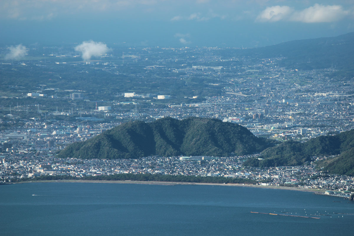


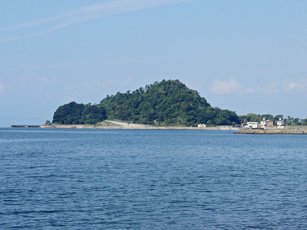



1 more on the map.
Museums and landmarks36


Horigoe Gosho
Monument and historic site · 8.7 km
Archaeological site Shizuoka, Japan

Izunokuni History Museum
Museum · 9.1 km
Museum in Izunokuni, Shizuoka, Japan

Kashiya Cave Tombs
Monument and historic site · 8.7 km
Archaeological site in Kannami, Tōkai, Japan

Kitaema Cave Tombs
Monument and historic site · 7.0 km
Grave in Shizuoka, Japan


Yasumiba ruins
Monument and historic site · 7.9 km
Paleolithic settlement in Japan


高尾山古墳
Monument and historic site · 2.6 km
沼津市で唯一の前方後方墳で、かつ最も古い古墳。現在調査中のため立ち入り禁止。
24 more on the map.
Parks, trails and playgrounds28





16 more on the map.
Restaurants and cafes326


たい夢リコー通り店
Restaurant · たい焼き · 1.0 km
13, 沼津市
11:00-18:00; Su,PH 11:00-17:00; Jun-Aug 11:00-17:00


314 more on the map.
History
Numazu is an ancient settlement, mentioned in Nara period records as the original provincial capital of Suruga Province before the separation of Izu Province from Suruga in 680 AD, and subsequent transfer of the provincial capital to the banks of the Abe River in what is now Shizuoka city. During the early part of the Tokugawa shogunate, Numazu was ruled as part of Odawara Domain, but with the construction of Numazu Castle in 1777, it became the separate Numazu Domain. Numazu prospered in the Edo period from its location on the Tōkaidō highway connecting Edo with Kyoto, with Numazu-juku and Hara-juku as two of the 53 post stations.
After the Meiji Restoration, Numazu Station was opened on the Tōkaidō Main Line on February 1, 1889. With the establishment of the modern municipalities system of the early Meiji period in 1889, the area was reorganized into Numazu Town within Suntō District, Shizuoka From its seaside location, Numazu gained a reputation as a health resort, which was further enhanced by its selection as the location of an imperial villa built for Emperor Meiji in 1893. The area become popular with other members of the nobility, statesmen (including Inoue Kaoru) and writers. Numazu town expanded in 1923 by merger with Yanagihara village, becoming Numazu City on July 1, 1923.
From the History section of Numazu on Wikipedia, under CC BY-SA 4.0.
Where to stay14
Churches and places of worship27
Shopping40
Gas and EV charging22
Schools, colleges and libraries38
Healthcare32
National Hospital Organization Shizuoka Medical Center
Hospital · 2.1 km
Map of Numazu
250 places. The map loads OpenStreetMap tiles when you open it.
Getting there and nearby towns
Oshima Airport (OIM) is the nearest airport with scheduled flights listed in OpenStreetMap, 57 km away.
- Odawara 32 km northeast, about 32 min by car
- Hadano 44 km northeast, about 44 min by car
- Hiratsuka 50 km northeast, about 50 min by car
- Isehara 52 km northeast, about 52 min by car
- Chigasaki 55 km northeast, about 55 min by car
- Yaizu 56 km southwest, about 56 min by car
- Ebina 57 km northeast, about 57 min by car
- Atsugi 59 km northeast, about 59 min by car
- Fujisawa 62 km northeast, about 1 h by car
- Sagamihara 62 km northeast, about 1 h by car
Drive times are estimates from straight-line distance, not routes.
Local news
Headlines from INDB.
Reviews, tips and questions
Loading what members have shared...
Sources and licences
- GeoNames (CC BY 4.0): population, coordinates, regions and time zone
- OpenStreetMap contributors (ODbL 1.0): places, airports, map data
- Wikidata (CC0 1.0): elevation, founding date, time zone, website, landmarks and historic places
- Wikimedia Commons (see each image): photos
- Wikipedia (CC BY-SA 4.0): overview and history text
Photo credits
- Numazu and Mount Fuji, Alpsdake, CC BY-SA 4.0
- Numazu.sannousankuhi, SigureU, CC BY-SA 4.0
- Numazu.sannousan.tenmangu.ushi, SigureU, CC BY-SA 4.0
- Numazu.hietenmangu, SigureU, CC BY-SA 4.0
- Numazu.hietenmangu-spring, SigureU, CC BY-SA 4.0
- Numazu.sannnousansyamusyo, SigureU, CC BY-SA 4.0
- Numazu.sannousanhonden, SigureU, CC BY-SA 4.0
- Numazu.sannousanshiinoki, SigureU, CC BY-SA 4.0
- Numazu.sannousan.sakura, SigureU, CC BY-SA 4.0
- Numazu jyunkaibunko, Yaritsusozai, CC BY-SA 4.0
- Mishima sky walk, くろふね, CC BY 3.0
- 伝堀越御所跡, Indiana jo, CC BY-SA 4.0
- 伊豆の国歴史館いずしる, Atk0707, CC0
- 柏谷横穴群, 小池 隆, CC BY 3.0
- 北江間横穴群大北支群, 小池 隆, CC BY 3.0
- Sano Art Museum, Ennui, CC BY-SA 4.0
- Rakujuen 20110918 a, Batholith, Public domain
- Sekaiichi Chiisana Kouen, 妖精書士, CC0
- View-O 20121020, Batholith, Public domain
- Myokai-ji (Numazu), Abasaa, Public domain
- Mount Tokura 20120730, Batholith, Public domain
- Mount Yoko 20120821, Batholith, Public domain
- Numazu Deepblue Aquarium 20200816 01, 先従隗始, CC0
- Mount Ushibuse 20101015, Batholith, Public domain
- National Hospital Organization Shizuoka Medical Center, Waka77, CC0
- Takaosan-kofun (Numazu) zenkei, Saigen Jiro, CC0
- NumazuJohokuHS, No machine-readable author provided. Mishimaya assumed (based on copyright claims)., CC BY-SA 3.0
- Numazu Technical High School, Asasa198, CC BY-SA 4.0
- Mount Kanuki 20120730, Batholith, Public domain
- Mount Ashitaka with Mount Fuji 20120910, Batholith, Public domain
- Numazu City Library exterior ac (1), Asturio Cantabrio, CC BY-SA 4.0
- Henkei hōkyōin-tō, Minamijyuuji, CC BY-SA 4.0
- Myokaku-ji (Numazu), Abasaa, Public domain
- Numazu City Archives of Meiji History ac (1), Asturio Cantabrio, CC BY-SA 4.0
- Shirooka Jinja, Abasaa, Public domain
- Hie Jinja (Numazu), Abasaa, Public domain
- Research survey Serizawa Kojiro Memorial Museum 1970 1, 文化庁, CC BY 4.0
- Mt.Kanuki from Misono Bridge, Gifu-sizu, CC0
- NumazuDai4JuniorHighschool, Asasa198, CC BY-SA 4.0
- Numazu City Daigo Elementary School, Suikotei, CC BY 4.0
- Numazu City Daiichi Elementary School, Omitama, CC BY-SA 4.0
- Numazu chuo hospital, Kaityu20, CC BY-SA 4.0
- Agetsuchi-Asahi Inari Jinja, Abasaa, Public domain
- Hachiman Jinja (Ichibacho, Numazu), Abasaa, Public domain
- Mount Kanuki, Observation deck, 20110918, Batholith, Public domain
- Minatoguchi park - Numazu Shizuoka - 2023 July 17 various, Nesnad, CC BY 4.0


Page built November 4, 2026. Spotted a mistake? Tell us or suggest a place.