


Tarui, Japan
垂井町
Tarui is a town of 27,439 people in Gifu, Japan, founded in July 1, 1889.
Why visit Tarui
Townapedia lists 62 museums and landmarks, 52 parks and trails, 33 places to eat, 3 places to stay and 8 attractions in and around town.
Highlights include Gifu Kyoritsu University, Institute of Advanced Media Arts and Sciences, Gifu Sekigahara Battlefield Memorial Museum and Tarui Ichirizuka.
Weather in Tarui
Forecast from MET Norway (CC BY 4.0). Full forecast
About Tarui
Tarui (垂井町, Tarui-chō) is a town located in Fuwa District, Gifu Prefecture, Japan. As of 1 December 2018, the town had an estimated population of 27,439 and a population density of 480 persons per km2, in 10,525 households. The total area of the town was 57.09 square kilometres (22.04 sq mi).
From the Wikipedia article Tarui, Gifu (this version), under CC BY-SA 4.0.
Travel tips from other travellers: Tarui on Wikivoyage (CC BY-SA 4.0).
Things to do8
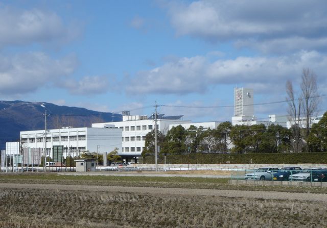
Gifu Kyoritsu University
School · 8.4 km
University in Gifu Prefecture, Japan

Institute of Advanced Media Arts and Sciences
School · 8.2 km
Higher education institution in Gifu Prefecture, Japan




Museums and landmarks62

Gifu Sekigahara Battlefield Memorial Museum
Museum · 6.1 km
Museum in Sekigahara, Gifu, Japan

Tarui Ichirizuka
Monument and historic site · 2.0 km
Historic site in Gifu, Japan

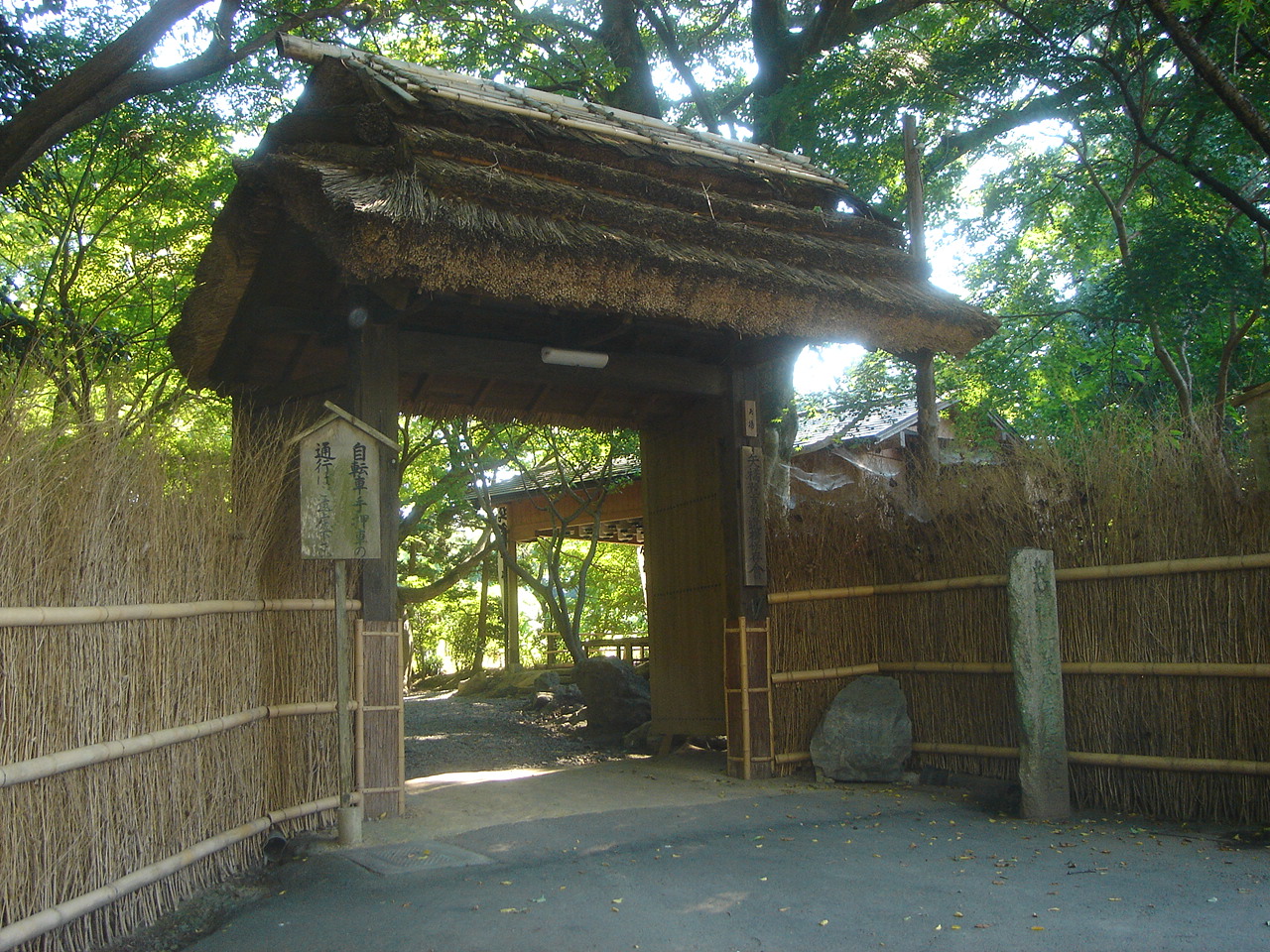



Todo Takatora & Kyogoju Takatomo'd encampment
Monument and historic site · 6.3 km
50 more on the map.
Parks, trails and playgrounds52



40 more on the map.
Restaurants and cafes33


21 more on the map.
History
The area around Tarui was part of traditional Mino Province. Numerous Jōmon period and Kofun period remains have been found in the area, which was the site of the Nara period provincial capital and Provincial temple. During the Edo period, Tarui-juku prospered as a post station on the Nakasendō highway connecting Edo with Kyoto. The town of Tarui was formed on 1 July 1889 with the establishment of the modern municipalities system. The 1891 Mino–Owari earthquake caused considerable damage to the area. Tarui annexed the neighboring villages of Iwate, Fuchu, Miyashiro, Osa, and Aihara in 1954. The 1959 Isewan Typhoon caused severe damage to the town.
From the History section of Tarui, Gifu on Wikipedia, under CC BY-SA 4.0.
Where to stay3
Churches and places of worship42
Shopping15
Gas and EV charging10
Schools, colleges and libraries30
Healthcare15
Map of Tarui
250 places. The map loads OpenStreetMap tiles when you open it.
Getting there and nearby towns
Gifu Airbase (QGU) is the nearest airport with scheduled flights listed in OpenStreetMap, 31 km away.
- Ōgaki 8 km east, about 8 min by car
- Gifu 22 km east, about 22 min by car
- Nagahama 24 km west, about 24 min by car
- Ichinomiya 25 km east, about 25 min by car
- Inazawa 26 km southeast, about 26 min by car
- Hikone 29 km southwest, about 29 min by car
- Aisai 29 km southeast, about 29 min by car
- Kakamigahara 31 km east, about 31 min by car
- Kōnan 31 km east, about 31 min by car
- Ama 32 km southeast, about 32 min by car
Drive times are estimates from straight-line distance, not routes.
Local news
Headlines from INDB.
Reviews, tips and questions
Loading what members have shared...
Sources and licences
- GeoNames (CC BY 4.0): population, coordinates, regions and time zone
- OpenStreetMap contributors (ODbL 1.0): places, airports, map data
- Wikidata (CC0 1.0): elevation, founding date, time zone, website, landmarks and historic places
- Wikimedia Commons (see each image): photos
- Wikipedia (CC BY-SA 4.0): overview and history text
Photo credits
- JR Tarui Station 2, ja:利用者:Monami, CC BY-SA 3.0
- JR Tarui Station 4, ja:利用者:計記録, CC BY-SA 3.0
- JR Tarui Station 1, ja:利用者:Monami, CC BY-SA 3.0
- JR Tarui Station 3, ja:利用者:計記録, CC BY-SA 3.0
- JR Tarui Station 5, ja:利用者:計記録, CC BY-SA 3.0
- Sekigahara Battlefield Memorial Hall, Bariston, CC BY-SA 4.0
- Tarui Ichirizuka 02, Monami at Japanese Wikipedia, CC BY-SA 3.0
- Asanaka park, Opqr, CC BY-SA 4.0
- Nangu-taisha shrine, Bakkai at Japanese Wikipedia, CC BY-SA 3.0
- Hakuaikai Hospital Gifu01, Monami, CC BY-SA 3.0
- Sekigahara Hospital01, Monami, CC BY-SA 3.0
- Gifu Prefectural Fuwa High School01, Monami, CC BY-SA 3.0
- Ogaki West High School01, Monami, CC BY-SA 3.0
- Ishibiki-Jinja, Metroplex, CC BY-SA 3.0
- Michinoeki IkedaOnsen, アラツク, CC BY-SA 4.0
- Mount Nangu, Alpsdake, CC BY-SA 4.0
- 垂井町立不破中学校, 猫型ロボット, CC BY 4.0
- Saien-ji temple, Ogaki, 2017, 大野 一将, CC BY-SA 4.0
- 大垣市歴史民俗資料館, Opqr, CC BY-SA 4.0
- Anraku-ji temple, Ogaki, 2017, 大野 一将, CC BY-SA 4.0
- 妙法寺 (大垣市赤坂町), へぼ飯, CC0
- Softpia Japan Workshop 24, Asturio Cantabrio, CC BY-SA 4.0
- GifuKeizaiDaigaku1, Monami at Japanese Wikipedia, CC BY-SA 3.0
- Akasaka-hommachi, Metroplex, CC BY-SA 3.0
- 南宮大社 境内, Saigen Jiro, Public domain
- Ocyaya-yashiki01, Monami, CC BY-SA 3.0
- Ogaki Seibu Junior High School, hyolee2, CC BY-SA 4.0
- R417-2020-033, Puchi-masashi, CC BY-SA 4.0
- タルイピアセンター, 猫型ロボット, CC BY 4.0
- 垂井町町民体育館, Opqr, CC BY-SA 4.0
- Ogaki Makida Elementary School, hyolee2, CC BY-SA 4.0
- Ogaki Aohaka Elementary School, hyolee2, CC BY-SA 4.0
- Ogaki Ayasato Elementary School, hyolee2, CC BY-SA 4.0
- Ogaki Uruu Elementary School, hyolee2, CC BY-SA 4.0
- Ogaki Shizusato Elementary School, hyolee2, CC BY-SA 4.0
- Ogaki Arasaki Elementary School, hyolee2, CC BY-SA 4.0
- Minoji 垂井追分道標 20230502 101231, Haya4, CC0
- Gifu 20201031103443 (50834186093), inunami, CC BY 2.0
- 岐阜県不破郡垂井町 - panoramio, gundam2345, CC BY 3.0
- Nangu Taisha Entrance, Yanajin33, CC BY-SA 3.0


Page built November 4, 2026. Spotted a mistake? Tell us or suggest a place.