


Tomioka, Japan
富岡市
Tomioka is a town of 47,911 people in Gunma, Japan, founded in April 1, 1889.
Why visit Tomioka
Townapedia lists 46 museums and landmarks, 52 parks and trails, 86 places to eat, 4 places to stay and 8 attractions in and around town.
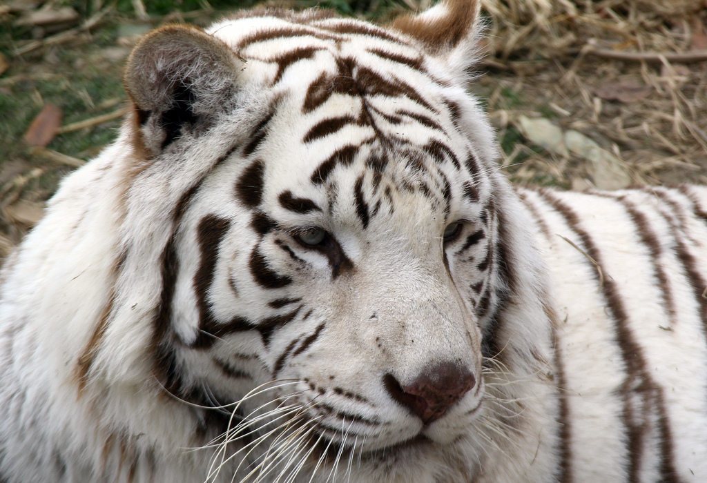
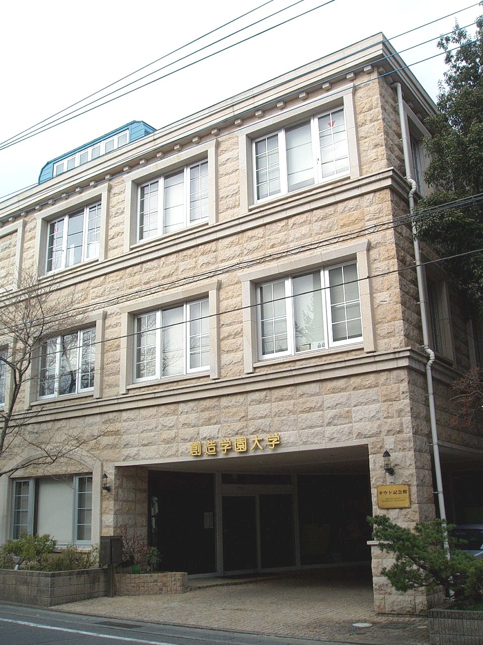
Highlights include Gunma Safari Park, University of Creation; Art, Music & Social Work, Tomioka Silk Mill and Kanaizawa Stele.
Weather in Tomioka
Forecast from MET Norway (CC BY 4.0). Full forecast
About Tomioka
Tomioka (富岡市, Tomioka-shi) is a city located in Gunma Prefecture, Japan. As of 1 September 2020, the city had an estimated population of 57,013 in 20,367 households, and a population density of 390 persons per km2. The total area of the city is 122.85 square kilometres (47.43 sq mi). It is the location of the Tomioka Silk Mill, a UNESCO World Heritage Site.
From the Wikipedia article Tomioka, Gunma (this version), under CC BY-SA 4.0.
Travel tips from other travellers: Tomioka on Wikivoyage (CC BY-SA 4.0).
Things to do8



Museums and landmarks46

Tomioka Silk Mill
Monument and historic site · 0.9 km
Silk reeling factory in Tomioka, Gunma prefecture, Japan

Kanaizawa Stele
Monument and historic site · 11.1 km
8th century Japanese stele

Tago District Shōsō ruins
Monument and historic site · 8.8 km
Archaeological site in Japan

Tago Stele
Monument and historic site · 8.9 km
Stone memorial in Japan
Takasaki Byakue Daikannon
Monument and historic site · 9.7 km
Large statue in Takasaki, Japan

Yamanoue Stele
Monument and historic site · 11.9 km
Stele, kofun in Gunma, Japan


34 more on the map.
Parks, trails and playgrounds52





40 more on the map.
Restaurants and cafes86




74 more on the map.
History
Tomioka is located within traditional Kōzuke Province. During the Edo period, the area of present-day Tomioka was part of the tenryō territory under the direct control of the Tokugawa shogunate. It became Tomioka Town within Kitakanra District, Gunma Prefecture on April 1, 1889 with the creation of the modern municipalities system after the Meiji Restoration. In 1950 Kitakanra District was renamed Kanra District. On April 1, 1954, Tomioka annexed the neighboring town of Ichinomiya, and the villages of Ono, Kuroiwa, Takase, and Nukabe, and was raised to city status on November 1, 1958. On April 1, 1960 the village of Nyuu was incorporated into Tomioka. On March 27, 2006 Tomioka absorbed the neighboring town of Myōgi.
From the History section of Tomioka, Gunma on Wikipedia, under CC BY-SA 4.0.
Where to stay4
Churches and places of worship59
Shopping27
Gas and EV charging20
Schools, colleges and libraries45
Healthcare24
Map of Tomioka
250 places. The map loads OpenStreetMap tiles when you open it.
Getting there and nearby towns
Yokota Air Base (OKO) is the nearest airport with scheduled flights listed in OpenStreetMap, 69 km away.
- Yoshii 8 km east, about 8 min by car
- Takasaki 14 km northeast, about 14 min by car
- Ōta 42 km east, about 42 min by car
- Kiryū 42 km northeast, about 42 min by car
- Kumagaya 46 km east, about 46 min by car
- Ashikaga 50 km east, about 50 min by car
- Ueda 58 km west, about 58 min by car
- Ōme 61 km southeast, about 1 h by car
- Sano 62 km east, about 1 h by car
- Kawagoe 65 km southeast, about 1 h by car
Drive times are estimates from straight-line distance, not routes.
Local news
Headlines from INDB.
Reviews, tips and questions
Loading what members have shared...
Sources and licences
- GeoNames (CC BY 4.0): population, coordinates, regions and time zone
- OpenStreetMap contributors (ODbL 1.0): places, airports, map data
- Openverse (see each image): photos
- Wikidata (CC0 1.0): elevation, founding date, time zone, website, landmarks and historic places
- Wikimedia Commons (see each image): photos
- Wikipedia (CC BY-SA 4.0): overview and history text
Photo credits
- Tomioka city office 2018-06, photo: Qurren ( talk ) Taken with Canon PowerShot G9 X, CC BY-SA 4.0
- Tomioka city auditorium, photo: Qurren ( talk ) Taken with Samsung Galaxy J (NTT docomo SC-02F), CC BY-SA 3.0
- Josyu-Tomioka station,Joshin Dentetsu RAILWAYS - panoramio, Rough, CC BY 3.0
- Josyu-Tomioka station,Joshin Dentetsu RAILWAYS - panoramio (1), Rough, CC BY 3.0
- Joshin 6000 series at Jōshū-Tomioka Station 2014-07-14, Kuruman, CC BY 2.0
- Tomioka city office 2012-09, photo: Qurren ( talk ) Taken with Canon PowerShot G9 X, CC BY-SA 4.0
- Tomioka Silk Mill, Nao Shiki, CC0
- Sekichu Autoway Tomioka-bypass, photo: Qurren, CC BY-SA 4.0
- Marukou (supermarket) Tomioka-bypass, photo: Qurren, CC BY-SA 4.0
- Tomioka IC Tollgate, Triglav, CC BY-SA 3.0
- Tomioka Prefectural Government Branch Office Complex, Suikotei, CC BY 4.0
- SouzouGakuen-Univ-Yachiyo01, Hasec, CC0
- Tomioka Silk Mill East Cocoon Warehouse05, Hasec, Public domain
- Monument of Kanaizawa, 文屋将監, CC BY 3.0
- Monument of Tago (Tagohi), 文屋将監, CC BY 3.0
- Yamanouehi, 文屋将監, CC BY 3.0
- Ichinomiya Nukisaki-jinja, shaden-1, Saigen Jiro, CC0
- Uge-jinja, haiden, Saigen Jiro, CC0
- Annaka Church, photo: Qurren ( talk ) Taken with Canon IXY 430F (Digital IXUS 245 HS), CC BY-SA 3.0
- Niijima Gakuen Junior and Senior High School, 禁樹なずな, CC BY-SA 3.0
- Rakusan-en southeast garden pond, photo: Qurren ( talk ) Taken with Canon IXY 10S (Digital IXUS 210), CC BY-SA 3.0
- White tiger2, diloz さん https://www.flickr.com/photos/diloz/, CC BY 2.0
- Gunma Museum Of Natural History and Tomioka Kabura Bunka Hall, photo: Qurren ( talk ) Taken with Canon IXY 10S (Digital IXUS 210), CC BY-SA 3.0
- Mount Ushibuse (Gunma), photo: Qurren ( talk ) Taken with Canon IXY 430F (Digital IXUS 245 HS), CC BY-SA 3.0
- Tomioka Art Museum, photo: Qurren ( talk ) Taken with Canon IXY 10S (Digital IXUS 210), CC BY-SA 3.0
- 多胡碑記念館, Bonsaiship, CC BY-SA 3.0
- Yanase Futagozuka Kofun, funkyu-4, Saigen Jiro, CC0
- Rakusan-en Konmei Pond 1, photo: Qurren ( talk ) Taken with Canon IXY 10S (Digital IXUS 210), CC BY-SA 3.0
- Yorozuya Stationery 1, photo: Qurren ( talk ) Taken with Canon PowerShot G9 X, CC BY-SA 4.0
- Yorozuya Stationery 2, photo: Qurren ( talk ) Taken with Canon PowerShot G9 X, CC BY-SA 4.0
- 3代目上州富岡駅舎, Yazk-tna, CC BY-SA 3.0
- Joshin Dentetsu Joshin Line 2011-08-05, Yoshizumi Endo, CC BY-SA 2.0
- 世界遺産 旧富岡製糸場 - panoramio, Yoshio Kohara, CC BY 3.0
- IMG E0946 東置繭所, しゅん君, CC BY-SA 4.0
- IMG E0946富岡製糸場, しゅん君, CC BY-SA 4.0
- IMG E0946 富岡製糸場, しゅん君, CC BY-SA 4.0
- 富岡おせっ会 お困りですか お手伝いします (22782254877), Masahiro TAKAGI, CC BY 2.0
- 旧富岡製糸場 - panoramio, Yoshio Kohara, CC BY 3.0
- Joshin Electric Railway Joshu-Nanokaichi Station, Yasu ( talk ), CC BY-SA 3.0
- P1020652.JPG - panoramio, ☆(・ω<), CC BY 3.0
- Big Nose, Brînzei, CC BY 2.0


Page built November 4, 2026. Spotted a mistake? Tell us or suggest a place.