



Tsukigata, Japan
月形町
Tsukigata is a town of 3,691 people in Hokkaido, Japan, founded in April 1, 1906.
Why visit Tsukigata
Townapedia lists 5 museums and landmarks, 3 parks and trails, 2 places to eat, 6 places to stay and 2 attractions in and around town.
Highlights include 月形樺戸博物館 and 空知鉄道.
Weather in Tsukigata
Forecast from MET Norway (CC BY 4.0). Full forecast
About Tsukigata
Tsukigata (月形町, Tsukigata-chō) is a town in Sorachi Subprefecture, Hokkaido, Japan.
From the Wikipedia article Tsukigata, Hokkaido (this version), under CC BY-SA 4.0.
Things to do2

Museums and landmarks5




Parks, trails and playgrounds3

Restaurants and cafes2


Where to stay6
Churches and places of worship4
Shopping1
Schools, colleges and libraries6
Healthcare1
Map of Tsukigata
30 places. The map loads OpenStreetMap tiles when you open it.
Getting there and nearby towns
Sapporo Okadama Airport (OKD) is the nearest airport with scheduled flights listed in OpenStreetMap, 34 km away.
- Bibai 15 km east, about 15 min by car
- Iwamizawa 17 km southeast, about 17 min by car
- Tōbetsu 18 km southwest, about 18 min by car
- Ebetsu 27 km south, about 27 min by car
- Kuriyama 32 km south, about 32 min by car
- Naganuma 37 km south, about 37 min by car
- Yuni 38 km south, about 38 min by car
- Sapporo 40 km southwest, about 40 min by car
- Kitahiroshima 41 km south, about 41 min by car
- Yūbari 41 km southeast, about 41 min by car
Drive times are estimates from straight-line distance, not routes.
Local news
Headlines from INDB.
Reviews, tips and questions
Loading what members have shared...
Sources and licences
- GeoNames (CC BY 4.0): population, coordinates, regions and time zone
- OpenStreetMap contributors (ODbL 1.0): places, airports, map data
- Wikidata (CC0 1.0): elevation, founding date, time zone, website
- Wikimedia Commons (see each image): photos
- Wikipedia (CC BY-SA 4.0): overview and history text
Photo credits
- Tsukigata Town Hall, Ozizo, CC0
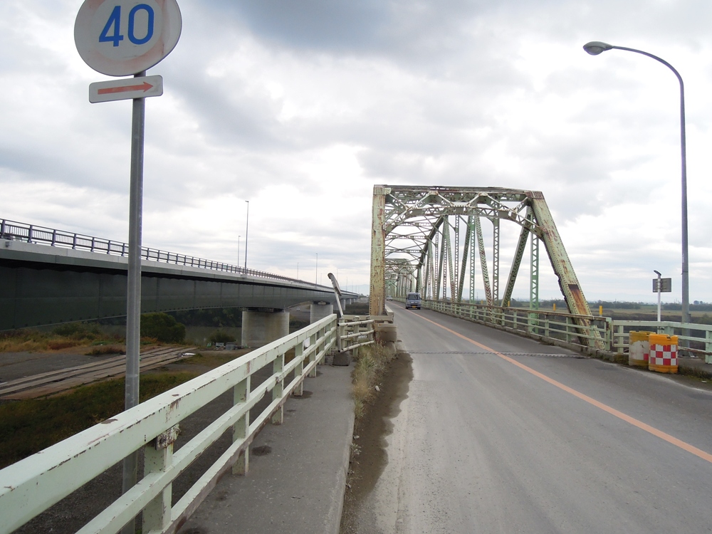
- Tsukigata Ohashi NewAndOld, Sinryow, CC BY-SA 3.0
- Tsukigata Kabato museum, Totti, CC BY-SA 4.0
- TsukigataHighSchool, Asasa198, CC BY-SA 4.0
- Gakuentoshi line 20161231082900 (31362495074), inunami, CC BY 2.0
- Hokkaido Pref Road 6 33 Crossing, Sinryow, CC BY-SA 3.0
- ISS023-E-18794 - View of Earth, Earth Science and Remote Sensing Unit , Lyndon B. Johnson Space Center, Public domain
- ISS047-E-6664 - View of Earth, Earth Science and Remote Sensing Unit , Lyndon B. Johnson Space Center, Public domain
- ISS047-E-6662 - View of Earth, Earth Science and Remote Sensing Unit , Lyndon B. Johnson Space Center, Public domain
- ISS047-E-6663 - View of Earth, Earth Science and Remote Sensing Unit , Lyndon B. Johnson Space Center, Public domain
- ISS023-E-18793 - View of Earth, Earth Science and Remote Sensing Unit , Lyndon B. Johnson Space Center, Public domain
- ISS047-E-6668 - View of Earth, Earth Science and Remote Sensing Unit , Lyndon B. Johnson Space Center, Public domain
- ISS047-E-6669 - View of Earth, Earth Science and Remote Sensing Unit , Lyndon B. Johnson Space Center, Public domain
- ISS047-E-6670 - View of Earth, Earth Science and Remote Sensing Unit , Lyndon B. Johnson Space Center, Public domain
- 北村温泉ホテル, 空知リゾートシティ株式会社, CC BY-SA 4.0
- 当別ダム(Tobetsu dam) - panoramio, t-konno, CC BY-SA 3.0
- ISS047-E-6666 - View of Earth, Earth Science and Remote Sensing Unit , Lyndon B. Johnson Space Center, Public domain
- ISS023-E-18792 - View of Earth, Earth Science and Remote Sensing Unit , Lyndon B. Johnson Space Center, Public domain
- ISS047-E-6665 - View of Earth, Earth Science and Remote Sensing Unit , Lyndon B. Johnson Space Center, Public domain
- ISS047-E-6667 - View of Earth, Earth Science and Remote Sensing Unit , Lyndon B. Johnson Space Center, Public domain


Page built November 5, 2026. Spotted a mistake? Tell us or suggest a place.