




Yamabuki, Japan
山吹村
Yamabuki is a town of 12,811 people in Nagano, Japan, founded in April 1, 1889.
Loading the weather...
Population12,811
GeoNames
Local name山吹村
RegionNagano
Elevation453 m
1,486 ft
FoundedApril 1, 1889
Time zoneAsia/Tokyo
Nearest airportShinshu-Matsumoto Airport (MMJ)
66 km
Why visit Yamabuki
Townapedia lists 28 museums and landmarks, 11 parks and trails, 11 places to eat and 1 place to stay in and around town.
Highlights include Ōkusa Kaidō, Ōkusa Kaidō and 河野りんごっ子公園.
Weather in Yamabuki
Forecast from MET Norway (CC BY 4.0). Full forecast
Museums and landmarks28

16 more on the map.
Parks, trails and playgrounds11


Restaurants and cafes11

Advertisement
Where to stay1

Churches and places of worship7
Shopping2
Advertisement
Gas and EV charging3
Schools, colleges and libraries4
Healthcare1
Advertisement
Map of Yamabuki
68 places. The map loads OpenStreetMap tiles when you open it.
Getting there and nearby towns
Shinshu-Matsumoto Airport (MMJ) is the nearest airport with scheduled flights listed in OpenStreetMap, 66 km away.
- Iida 10 km southwest, about 10 min by car
- Komagane 16 km north, about 16 min by car
- Ina 28 km north, about 28 min by car
- Kiso 35 km northwest, about 35 min by car
- Nakatsugawa 38 km west, about 38 min by car
- Tatsuno 46 km north, about 46 min by car
- Ena 49 km west, about 49 min by car
- Fujimi 48 km northeast, about 48 min by car
- Chino 52 km northeast, about 52 min by car
- Okaya 55 km north, about 55 min by car
Drive times are estimates from straight-line distance, not routes.
Local news
Headlines from INDB.
Reviews, tips and questions
Loading what members have shared...
Sources and licences
- GeoNames (CC BY 4.0): population, coordinates, regions and time zone
- OpenStreetMap contributors (ODbL 1.0): places, airports, map data
- Wikidata (CC0 1.0): elevation, founding date, time zone, website
- Wikimedia Commons (see each image): photos
Photo credits
- Hongaku Jinja(Hongaku Shrine), MATSUSHIMA hidehiro, CC BY-SA 4.0
- 泉龍院 山門, 濃間, CC0
- Matsukawa Machi Library, くま人, CC BY-SA 4.0
- 国道153号 高森町から松川町へ 長野県 20171009 103337, Puchi-masashi This photo was taken with Canon PowerShot SX710 HS, CC BY-SA 4.0
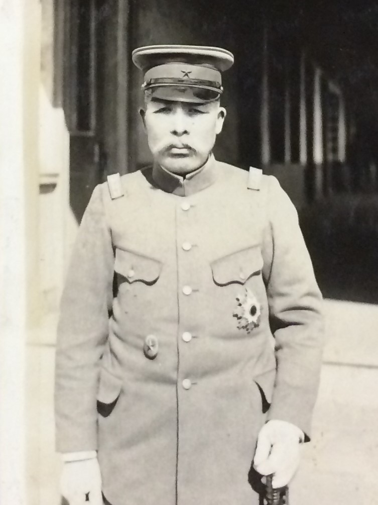
- General Kikuchi, Takamurin22, Public domain
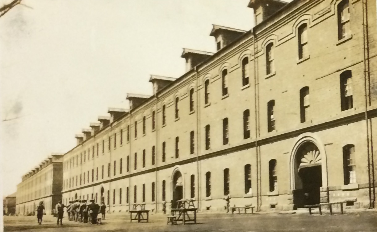
- 近歩三連隊 兵舎, Takamurin22, CC BY-SA 4.0
- Konoehohei-daisanrentai-Gate, Takamurin22, CC BY-SA 4.0
- 竹ノ内家住宅正面, じゃ・いあん, CC BY-SA 4.0


Page built November 5, 2026. Spotted a mistake? Tell us or suggest a place.