



Yūki, Japan
結城市
Yūki is a town of 50,645 people in Ibaraki, Japan, founded in April 1, 1889.
Why visit Yūki
Townapedia lists 9 museums and landmarks, 46 parks and trails, 110 places to eat, 5 places to stay and 2 attractions in and around town.
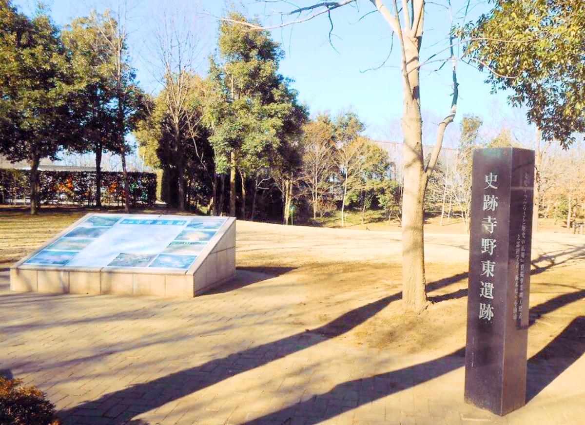
Highlights include Hakuoh University, Teranohigashi Site, Yūki temple ruins and Kanakubo Athletic Park Baseball Field.
Weather in Yūki
Forecast from MET Norway (CC BY 4.0). Full forecast
About Yūki
Yūki (結城市, Yūki-shi) is a city located in Ibaraki Prefecture, Japan. As of 1 January 2024, the city had an estimated population of 49,252 in 19,889 households and a population density of 749 persons per km2. The percentage of the population aged over 65 was 30.8%. The total area of the town is 65.76 square kilometres (25.39 sq mi).
From the Wikipedia article Yūki, Ibaraki (this version), under CC BY-SA 4.0.
Things to do2

Hakuoh University
School · 8.2 km
Higher education institution in Tochigi Prefecture, Japan

Museums and landmarks9
Teranohigashi Site
Monument and historic site · 2.9 km
Archaeological site in Oyama, Tochigi, Japan

Yūki temple ruins
Monument and historic site · 4.8 km
Archaeological site in Japan
寺野東遺跡 国指定遺跡
Monument and historic site · 2.6 km
旧石器時代から近世までの複合遺跡 環状盛土遺構、水場遺構、木組み遺構

Parks, trails and playgrounds46


Kanakubo Athletic Park Baseball Field
Sports field and stadium · 2.2 km

34 more on the map.
Restaurants and cafes110


98 more on the map.
History
The area of Yūki was an important center for the production of cotton, flax and woven goods from the Nara period. From the Kamakura period onwards, the area was controlled by the Yūki clan, who developed a castle town around Yūki Castle. This subsequently became the center of Yūki Domain which was ruled by 10 generations of a junior branch of the Mizuno clan under the Tokugawa shogunate in the Edo period.
The town of Yūki was created with the establishment of the modern municipalities system on April 1, 1889. On March 15, 1954, Yūki merged with the neighboring villages of Yamakawa, Kinugawa, Egawa and Kamiyamakawa and was elevated to city status.
From the History section of Yūki, Ibaraki on Wikipedia, under CC BY-SA 4.0.
Where to stay5
Churches and places of worship15
Shopping38
Gas and EV charging15
Schools, colleges and libraries34
Ibaraki Prefectural Shimodate Technological High School
School · 6.7 km
Ibaraki Prefectural Yuki Special Needs Education School
School · 3.3 km
Healthcare29
Map of Yūki
250 places. The map loads OpenStreetMap tiles when you open it.
Getting there and nearby towns
Ibaraki Airport (IBR) is the nearest airport with scheduled flights listed in OpenStreetMap, 50 km away.
- Oyama 7 km west, about 7 min by car
- Chikusei 9 km east, about 9 min by car
- Tochigi 16 km northwest, about 16 min by car
- Koga 20 km southwest, about 20 min by car
- Sano 27 km west, about 27 min by car
- Tsukuba 32 km southeast, about 32 min by car
- Kazo 33 km southwest, about 33 min by car
- Kasukabe 37 km south, about 37 min by car
- Tsuchiura 37 km southeast, about 37 min by car
- Ashikaga 39 km west, about 39 min by car
Drive times are estimates from straight-line distance, not routes.
Local news
Headlines from INDB.
Reviews, tips and questions
Loading what members have shared...
Sources and licences
- GeoNames (CC BY 4.0): population, coordinates, regions and time zone
- OpenStreetMap contributors (ODbL 1.0): places, airports, map data
- Wikidata (CC0 1.0): elevation, founding date, time zone, website, landmarks and historic places
- Wikimedia Commons (see each image): photos
- Wikipedia (CC BY-SA 4.0): overview and history text
Photo credits
- Yuki City Office, ほぶ, Public domain
- Terahigashi Site, MChew, CC BY-SA 4.0
- Takedasuga Jinja, Abasaa, Public domain
- Chikusei City Hospital, Abasaa, Public domain
- Shimodate technical high school, User:Swind, CC BY-SA 3.0
- Yuki 2nd High School, Abasaa, Public domain
- Kinu Commercial High School, Abasaa, Public domain
- 高椅神社楼門, Takahashi-Jinja, CC BY-SA 4.0
- Yuki city Yuki junior high school Aerial view (2021-05), 国土地理院, CC BY 4.0
- Shomyo-ji (Yuki), Abasaa, Public domain
- Oyama National College of Technology main gate, ほぶ, CC0
- Tochigi Korean Elementary and Junior High School, Abasaa, Public domain
- Oyama Hokuou High School, M yanagisawa, CC BY 3.0
- Kakubo Sports Park Baseball Stadium 01, 小石川人晃, CC BY-SA 4.0
- Ibaraki prefectural road route 264 (Oyama-Yuki line) in Yuki,Yuki city, 小石川人晃, CC BY-SA 4.0
- Kinuya Yakuho Tempo, Suikotei, CC BY 4.0
- Yuki, Ibaraki Prefecture 307-0001, Japan - panoramio, Toshihiro Matsui, CC BY-SA 3.0
- Kyu Kurokawa Beikokuten Tempo 02, Suikotei, CC BY 4.0
- Kyu Kurokawa Beikokuten Tempo 01, Suikotei, CC BY 4.0
- Yuki, Ibaraki Prefecture 307-0001, Japan - panoramio - Toshihiro Matsui, Toshihiro Matsui, CC BY-SA 3.0
- 結城水辺公園、結城城の堀跡か - panoramio, Toshihiro Matsui, CC BY-SA 3.0
- Okujun Tempo, Suikotei, CC BY 4.0
- Okujun Misegura 20260201, Suikotei, CC BY 4.0
- Akaogi Honten Misegura, Suikotei, CC BY 4.0
- (茨城県) 結城城跡公園。派手さはありませんが、市民の桜の名所として親しまれているようです。 - panoramio, Shift, CC BY-SA 3.0
- Yuki Shinkin Bank Head Office 20260201, Suikotei, CC BY 4.0
- Ibaraki prefectural route 302 (Yuki-teishajo line) in Yuki,Yuki city, 小石川人晃, CC BY-SA 3.0
- Yuki Information + Communication Center 1, photo: Qurren ( talk ) Taken with Canon IXY 430F (Digital IXUS 245 HS), CC BY-SA 3.0
- Monument Ibaraki Hyakkei At JR Yuki Station, Hisi21, Public domain
- Yuki Information + Communication Center 2, photo: Qurren ( talk ) Taken with Canon IXY 430F (Digital IXUS 245 HS), CC BY-SA 3.0
- A monument at south square of JR Yuki station, Hisi21, Public domain
- Yashu-Otsuka2019, キャンター This photo was taken with Panasonic Lumix DMC-TZ10, CC BY-SA 4.0
- Ibaraki prefectural road route 35 (Utsunomiya-Uki line) in Uki,Uki city, 小石川人晃, CC BY-SA 3.0
- Ibaraki prefectural road route 147 (Koganei-Yuki line) in Yuki,Yuki city, 小石川人晃, CC BY-SA 3.0
- Fukurabashi bridge, Oyama, Tochigi, 蚯蚓, CC BY 4.0
- 国道50号 結城バイパス 茨城県結城市 20180318 092729, Puchi-masashi This photo was taken with Canon PowerShot G9 X Mark II, CC BY-SA 4.0
- ISS032-E-30308 - View of Earth, Earth Science and Remote Sensing Unit , Lyndon B. Johnson Space Center, Public domain
- ISS020-E-35833 - View of Earth, Earth Science and Remote Sensing Unit , Lyndon B. Johnson Space Center, Public domain
- ISS053-E-124079 - View of Earth, Earth Science and Remote Sensing Unit , Lyndon B. Johnson Space Center, Public domain
- ISS053-E-124078 - View of Earth, Earth Science and Remote Sensing Unit , Lyndon B. Johnson Space Center, Public domain


Page built November 4, 2026. Spotted a mistake? Tell us or suggest a place.