


Why visit Cagbang
Townapedia lists 6 museums and landmarks, 2 parks and trails, 16 places to eat, 2 places to stay and 2 attractions in and around town.
Highlights include Villa Beach, Carpenter Bridge, Camiña Balay nga Bato and Avanceña Park.
Weather in Cagbang
Forecast from MET Norway (CC BY 4.0). Full forecast
Things to do2


Museums and landmarks6

Camiña Balay nga Bato
Monument and historic site · 2.1 km
Historic house in Iloilo, Philippines
Osmeña Road, Iloilo
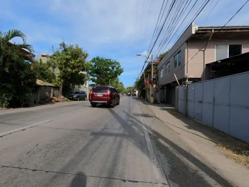

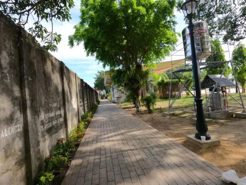
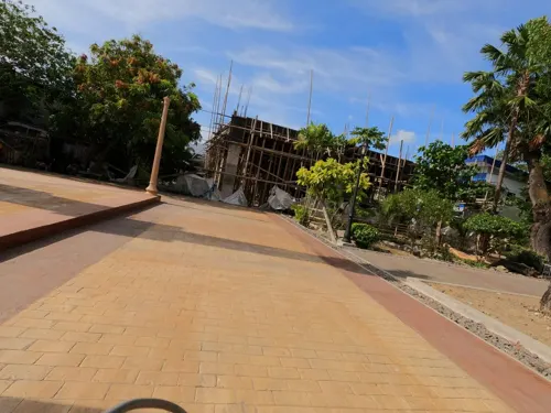
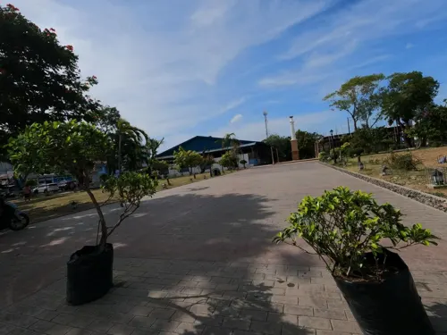
Parks, trails and playgrounds2


Restaurants and cafes16
Panaderia de Iloilo;Panaderia de iloilo
Bakery · 2.1 km
24 Osmeña Road
Mo-Sa 06:30-19:00





4 more on the map.
Where to stay2
Villa Mansion by Seniors Prestige Club
Motel and hotel · 1.3 km
Santa Cruz Street, Iloilo City
Churches and places of worship8
Santo Niño de Arevalo Church
Church · Roman Catholic · 2.3 km
Yulo Street, Iloilo
The Church of Jesus Christ of Latter-day Saints
Church · Mormon · 2.0 km
Osmeña Road
Church of Our Lady of Immaculate Concepcion
Church · Catholic · 2.3 km
Bonifacio Street, Oton
Shopping12
Gas and EV charging4
Schools, colleges and libraries14
John B. Lacson Foundation Maritime University (Arevalo)
School · 2.2 km
Santa Filomena - Villa de Arevalo Public Library
Library · 2.3 km
Bonifacio Street, Iloilo
Healthcare4
Map of Cagbang
70 places. The map loads OpenStreetMap tiles when you open it.
Getting there and nearby towns
Iloilo International Airport (ILO) is the nearest airport with scheduled flights listed in OpenStreetMap, 15 km away.
- Oton 3 km west, about 3 min by car
- Iloilo 7 km east, about 7 min by car
- Pavia 10 km northeast, about 10 min by car
- Tigbauan 14 km west, about 14 min by car
- Santa Barbara 14 km north, about 14 min by car
- Leganes 14 km northeast, about 14 min by car
- Leon 15 km northwest, about 15 min by car
- Guimbal 20 km west, about 20 min by car
- Maasin 23 km north, about 23 min by car
- Janiuay 28 km north, about 28 min by car
Drive times are estimates from straight-line distance, not routes.
Local news
Headlines from INDB.
Reviews, tips and questions
Loading what members have shared...
Sources and licences
- GeoNames (CC BY 4.0): population, coordinates, regions and time zone
- Mapillary (see each image): photos
- OpenStreetMap contributors (ODbL 1.0): places, airports, map data
- Wikidata (CC0 1.0): elevation, founding date, time zone, website, landmarks and historic places
- Wikimedia Commons (see each image): photos
Photo credits
- Book of Mormon English Missionary Edition Soft Cover, photo by user:Ricardo630 , cover by The Church of Jesus Christ of Latter-day Saints which is {{PD-ineligible}}, Public domain
- Jose Rizal statue with church in background Villa de Arevalo Iloilo, Iloilo Wanderer, CC BY-SA 3.0
- Villa Beach, Iloilo City. Philippines 08, Riyan0721, CC BY-SA 4.0
- Carpenter Bridge, Iloilo River, Tabucan, Mandurriao drone (Iloilo City; 01-24-2026), Patrickroque01, CC BY-SA 4.0
- Arevalo Church, Johngaje92, CC BY-SA 4.0
- Mohon Terminal, Iloilo City, Sep 2026, Ralff Nestor Nacor, CC BY-SA 4.0
- Camiña Balay nga Bato 22, Herbertkikoy, CC BY-SA 4.0
- Camiña Balay Nga Bato, Lola Rufina Heritage Curio Shop, FroyR, CC BY-SA 4.0
- Osmeña St. near Mohon Terminal, Iloilo City, Sep 2026, Ralff Nestor Nacor, CC BY-SA 4.0
- Ceres Mohon Bus Terminal, Iloilo City, Sep 2026, Ralff Nestor Nacor, CC BY-SA 4.0
- Camiña Balay Nga Bato, FroyR, CC BY-SA 4.0
- Camiña Balay nga Bato 05, Herbertkikoy, CC BY-SA 4.0
- Camiña Balay nga Bato 01, Herbertkikoy, CC BY-SA 4.0
- Camiña Balay nga Bato 18, Herbertkikoy, CC BY-SA 4.0
- Camiña Balay nga Bato 06, Herbertkikoy, CC BY-SA 4.0
- Camiña Balay nga Bato 10, Herbertkikoy, CC BY-SA 4.0
- Camiña Balay nga Bato 04, Herbertkikoy, CC BY-SA 4.0
- Camiña Balay nga Bato 03, Herbertkikoy, CC BY-SA 4.0
- Camiña Balay nga Bato 13, Herbertkikoy, CC BY-SA 4.0
- Camiña Balay nga Bato 11, Herbertkikoy, CC BY-SA 4.0
- Camiña Balay nga Bato 12, Herbertkikoy, CC BY-SA 4.0
- Camiña Balay nga Bato 15, Herbertkikoy, CC BY-SA 4.0
- Camiña Balay nga Bato 07, Herbertkikoy, CC BY-SA 4.0
- Camiña Balay nga Bato 08, Herbertkikoy, CC BY-SA 4.0
- Camiña Balay nga Bato 17, Herbertkikoy, CC BY-SA 4.0
- Camiña Balay nga Bato 02, Herbertkikoy, CC BY-SA 4.0
- Camiña Balay nga Bato 16, Herbertkikoy, CC BY-SA 4.0
- Camiña Balay nga Bato 19, Herbertkikoy, CC BY-SA 4.0
- Camiña Balay nga Bato 09, Herbertkikoy, CC BY-SA 4.0
- Camiña Balay nga Bato 14, Herbertkikoy, CC BY-SA 4.0
- Sky-rose, Arvee Marie, CC0
- Street-level photo, Kaart_Local, CC BY-SA 4.0
- Street-level photo, Kaart_Local, CC BY-SA 4.0
- Street-level photo, Kaart_Local, CC BY-SA 4.0
- Street-level photo, GOwin, CC BY-SA 4.0
- Street-level photo, Kaart_Local, CC BY-SA 4.0
- Street-level photo, Kaart_Local, CC BY-SA 4.0
- Street-level photo, Kaart_Local, CC BY-SA 4.0
- Street-level photo, Kaart_Local, CC BY-SA 4.0
- Street-level photo, GOwin, CC BY-SA 4.0
- Street-level photo, GOwin, CC BY-SA 4.0
- Street-level photo, GOwin, CC BY-SA 4.0
- Street-level photo, GOwin, CC BY-SA 4.0
- Street-level photo, GOwin, CC BY-SA 4.0
- Street-level photo, Kaart_Local, CC BY-SA 4.0
- Street-level photo, GOwin, CC BY-SA 4.0
- Street-level photo, GOwin, CC BY-SA 4.0
- Street-level photo, GOwin, CC BY-SA 4.0


Page built November 7, 2026. Spotted a mistake? Tell us or suggest a place.