


Why visit Dagami
Townapedia lists 1 museum or landmark, 2 parks and trails, 21 places to eat and 3 places to stay in and around town.
Weather in Dagami
Forecast from MET Norway (CC BY 4.0). Full forecast
About Dagami
Dagami (IPA: [dɐ'gami]), officially the Municipality of Dagami (Waray: Bungto han Dagami; Tagalog: Bayan ng Dagami), is a municipality in the province of Leyte, Philippines. According to the 2024 census, it has a population of 36,700 people.
From the Wikipedia article Dagami (this version), under CC BY-SA 4.0.
Museums and landmarks1
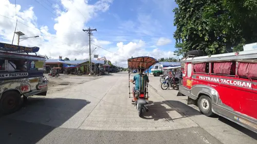
Parks, trails and playgrounds2

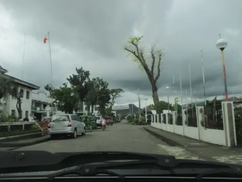
Restaurants and cafes21
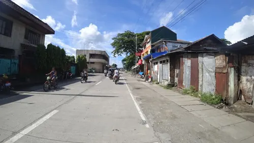



9 more on the map.
Where to stay3



History
According to legend, the island of Leyte was once divided into kingdoms or sultanates:
The most powerful sultanate in the island was Dagaran, the sultanate ruled by Diwaranda Mohammed. He had daughter named Sayajamburan who was sought by men everywhere. The nearby kingdoms were Bumbaran and Kahagna, sultanates of King Mapandara and King Mabanig, respectively. King Mapandara had a son named Bantugan who was the commander of his father's army and was sought after by many women because of his strength and good looks. Sayajamaburan was secretly enamored by Bantugan's physical and intellectual prowess. Bantugan has asked of her hand but was refused although he knew he had hopes of winning her in the end. The ruler of Kahagna, King Mabanig, was also a close rival of Bantugan. He was wealthy and got along well with everyone. When Sayajamaburan's father was dying, he chose Bantugan as his daughter's husband. Two days before the scheduled wedding, there was rejoicing everywhere except for King Mabanig who declared war against Bantugan's kingdom. Bantugan came out victorious and the wedding took place. Bumbaran, Dagaran and Kahagna then became one by affinity and conquest. The fusion of the three kingdoms made Dagara more powerful and respected.
From the History section of Dagami on Wikipedia, under CC BY-SA 4.0.
Churches and places of worship9
Our Lady of the Immaculate Conception Parish Church
Church · Roman Catholic · 9.7 km
La Purissima Street
Shopping10
New Geven Hardware & Construction Supply
Hardware store · 9.5 km
Santo Niño Street, Burauen
Gas and EV charging2
Schools, colleges and libraries133
Healthcare3
Map of Dagami
184 places. The map loads OpenStreetMap tiles when you open it.
Getting there and nearby towns
Daniel Z. Romualdez Airport (TAC) is the nearest airport with scheduled flights listed in OpenStreetMap, 23 km away.
- Burauen 10 km south, about 10 min by car
- Tanauan 13 km northeast, about 13 min by car
- Palo 14 km northeast, about 14 min by car
- Pawing 17 km northeast, about 17 min by car
- Dulag 19 km southeast, about 19 min by car
- La Paz 20 km south, about 20 min by car
- Tacloban 23 km northeast, about 23 min by car
- Ormoc 33 km west, about 33 min by car
- Carigara 36 km northwest, about 36 min by car
- Baybay 44 km south, about 44 min by car
Drive times are estimates from straight-line distance, not routes.
Local news
Headlines from INDB.
Reviews, tips and questions
Loading what members have shared...
Sources and licences
- GeoNames (CC BY 4.0): population, coordinates, regions and time zone
- Mapillary (see each image): photos
- OpenStreetMap contributors (ODbL 1.0): places, airports, map data
- Wikidata (CC0 1.0): elevation, founding date, time zone, website
- Wikimedia Commons (see each image): photos
- Wikipedia (CC BY-SA 4.0): overview and history text
Photo credits
- Dagamientrance, Stevenphil - Free Filipino!, CC BY-SA 3.0
- Tabontabon village Leyte aerial 1944, USN, Public domain
- Old airport by old Japanese army at Burauen - panoramio, Gonchang, CC BY 3.0
- Burauen Executive and Legislative Building (2017), Mikko1994, CC BY 4.0
- Facade of Burauen Executive and Legislative Building, MIKKO AGUSTIN1994, CC BY-SA 4.0
- Street-level photo, maning, CC BY-SA 4.0
- Street-level photo, ericb1983, CC BY-SA 4.0
- Street-level photo, ericb1983, CC BY-SA 4.0
- Street-level photo, danbjoseph, CC BY-SA 4.0
- Street-level photo, danbjoseph, CC BY-SA 4.0
- Street-level photo, ericb1983, CC BY-SA 4.0
- Street-level photo, danbjoseph, CC BY-SA 4.0
- Street-level photo, maning, CC BY-SA 4.0
- Street-level photo, ericb1983, CC BY-SA 4.0
- Street-level photo, maning, CC BY-SA 4.0
- Street-level photo, ericb1983, CC BY-SA 4.0
- Street-level photo, danbjoseph, CC BY-SA 4.0
- Street-level photo, maning, CC BY-SA 4.0
- Street-level photo, maning, CC BY-SA 4.0
- Street-level photo, maning, CC BY-SA 4.0
- Street-level photo, maning, CC BY-SA 4.0
- Street-level photo, danbjoseph, CC BY-SA 4.0
- Street-level photo, maning, CC BY-SA 4.0
- Street-level photo, ericb1983, CC BY-SA 4.0
- Street-level photo, ericb1983, CC BY-SA 4.0
Page built November 7, 2026. Spotted a mistake? Tell us or suggest a place.