


Why visit Gandara
Townapedia lists 1 museum or landmark, 7 parks and trails, 22 places to eat, 2 places to stay and 10 attractions in and around town.
Weather in Gandara
Forecast from MET Norway (CC BY 4.0). Full forecast
About Gandara
Gandara, officially the Municipality of Gandara (Waray: Bungto han Gandara, Tagalog: Bayan ng Gandara), is a municipality in the province of Samar, Philippines. According to the 2024 census, it has a population of 36,826 people.
From the Wikipedia article Gandara, Samar (this version), under CC BY-SA 4.0.
Things to do10



Museums and landmarks1

Parks, trails and playgrounds7



Restaurants and cafes22
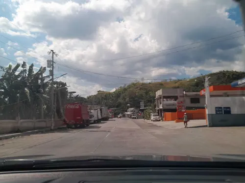

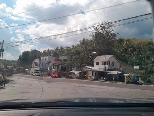

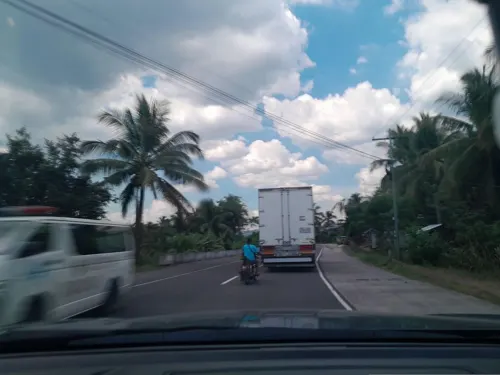
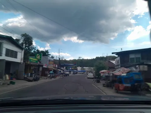



10 more on the map.
History
The town was formerly named Bangahon, but its population was resettled to its current location on September 29, 1902. After settling in its new location, the name Gandara was given to it in commemoration of the former Governor-General José de la Gándara y Navarro.
By virtue of Batas Pambansa Blg. 11 approved in 1978, 29 barangays were separated to create the new municipality of San Jorge.
From the History section of Gandara, Samar on Wikipedia, under CC BY-SA 4.0.
Where to stay2
Churches and places of worship11
Kingdom Hall of Jehovah's Witnesses
Church · Jehovahs Witness · 0.7 km
Maharlika Highway, Gandara
The Church of Jesus Christ of Latter-day Saints
Church · Latter-Day Saints
San Roque Street
Shopping4
Gas and EV charging5
Schools, colleges and libraries145
Healthcare6
Condeza-Gabon Medical Consultation Clinic
Clinic and pharmacy
Nazario Guantic Street
Map of Gandara
213 places. The map loads OpenStreetMap tiles when you open it.
Getting there and nearby towns
Calbayog Airport (CYP) is the nearest airport with scheduled flights listed in OpenStreetMap, 30 km away.
- Santa Margarita 17 km west, about 17 min by car
- Calbayog City 24 km west, about 24 min by car
- Catbalogan 28 km south, about 28 min by car
- Motiong 33 km southeast, about 33 min by car
- Mondragon 56 km north, about 56 min by car
- Catarman 57 km north, about 57 min by car
- Santa Rita 64 km south, about 1 h by car
- Laoang 66 km north, about 1 h by car
- Borongan 81 km southeast, about 1 h 15 min by car
- Tacloban 88 km south, about 1 h 30 min by car
Drive times are estimates from straight-line distance, not routes.
Local news
Headlines from INDB.
Reviews, tips and questions
Loading what members have shared...
Sources and licences
- GeoNames (CC BY 4.0): population, coordinates, regions and time zone
- Mapillary (see each image): photos
- OpenStreetMap contributors (ODbL 1.0): places, airports, map data
- Wikidata (CC0 1.0): elevation, founding date, time zone, website
- Wikimedia Commons (see each image): photos
- Wikipedia (CC BY-SA 4.0): overview and history text
Photo credits
- Gandara Poblacion, Lauro Branigan, CC BY-SA 3.0
- ISS031-E-143396 - View of Earth, Earth Science and Remote Sensing Unit , Lyndon B. Johnson Space Center, Public domain
- NationalRoad, LGLabian, CC BY-SA 4.0
- ISS031-E-143397 - View of Earth, Earth Science and Remote Sensing Unit , Lyndon B. Johnson Space Center, Public domain
- Street-level photo, ericb1983, CC BY-SA 4.0
- Street-level photo, ericb1983, CC BY-SA 4.0
- Street-level photo, ericb1983, CC BY-SA 4.0
- Street-level photo, ericb1983, CC BY-SA 4.0
- Street-level photo, ericb1983, CC BY-SA 4.0
- Street-level photo, ericb1983, CC BY-SA 4.0
- Street-level photo, ericb1983, CC BY-SA 4.0
- Street-level photo, ericb1983, CC BY-SA 4.0
- Street-level photo, ericb1983, CC BY-SA 4.0
- Street-level photo, ericb1983, CC BY-SA 4.0
- Street-level photo, ericb1983, CC BY-SA 4.0
- Street-level photo, ericb1983, CC BY-SA 4.0
- Street-level photo, ericb1983, CC BY-SA 4.0
- Street-level photo, ericb1983, CC BY-SA 4.0
Page built November 7, 2026. Spotted a mistake? Tell us or suggest a place.