


Hilongos, Philippines
Hilongos is a town of 7,329 people in Eastern Visayas, Philippines, founded in 1737.
Why visit Hilongos
Townapedia lists 2 museums and landmarks, 6 parks and trails, 33 places to eat, 6 places to stay and 3 attractions in and around town.
Weather in Hilongos
Forecast from MET Norway (CC BY 4.0). Full forecast
About Hilongos
Hilongos (IPA: [hɪ'lɔŋos]), officially the Municipality of Hilongos (Cebuano: Lungsod sa Hilongos; Waray: Bungto han Hilongos; Tagalog: Bayan ng Hilongos), is a First Income Class municipality in the province of Leyte, Philippines. According to the 2024 census, it has a population of 66,774 people.
From the Wikipedia article Hilongos (this version), under CC BY-SA 4.0.
Travel tips from other travellers: Hilongos on Wikivoyage (CC BY-SA 4.0).
Things to do3


Museums and landmarks2

Parks, trails and playgrounds6


Restaurants and cafes33

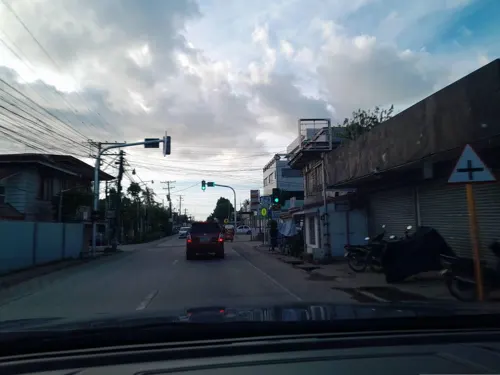
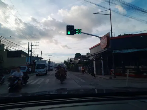





21 more on the map.
History
Legend has it that in the 12th century, Amahawin, an Ilonggo from Iloilo, conquered neighboring barangays on Leyte's western shore and extended his territory to the present-day areas of Inopacan, Hindang, Bato, and Matalom. He formed a settlement and named it Hilongos, because its inhabitants were Ilonggos.
In 1710, the Jesuits established a residence there. It is not known when Hilongos became a parish, some sources say it happened approximately from before 1737 to 1754.
In 1768, the Jesuits ceded Hilongos to the Augustinians. In 1774–79, the Augustinians established schools in Hilongos. In 1784, Palompon, a Hilongos visita, became an independent parish.
In 1862, Manicar led a revolt against the Spanish at barrio Santa Margarita.
In 1873, Leovio Magia led a revolt. Unlike the towns of eastern Leyte, which were ceded to the Franciscans in 1843, the towns along Leyte's western coast gradually fell to the seculars.
In late 1992, an unrecognized municipal government established by the New People's Army in Barangay San Antonio, Hilongos collapsed upon being taken over by the Philippine National Police (PNP).
From the History section of Hilongos on Wikipedia, under CC BY-SA 4.0.
Where to stay6
Churches and places of worship21
Reformed Baptist Church Christian Church of Matalom, Leyte
Church · Baptist · 10.0 km
Cogon Road
The Church of Jesus Christ of Latter-day Saints
Church · Mormon · 1.1 km
J. P. Rizal Street
Holy Child Catholic Church
Church · Roman Catholic · 7.0 km
A. Bonifacio Street, Bato
Saint Michael the Archangel Parish Church
Church · Roman Catholic · 7.1 km
P. Ybañez Street, Hindang
Divine Mercy Shrine
Church · 9.7 km
Ormoc – Baybay – Southern Leyte Boundary Road, Matalom
Shopping17
Gas and EV charging15
Schools, colleges and libraries90
Healthcare20
Map of Hilongos
213 places. The map loads OpenStreetMap tiles when you open it.
Getting there and nearby towns
Ormoc Airport (OMC) is the nearest airport with scheduled flights listed in OpenStreetMap, 79 km away.
- Matalom 11 km south, about 11 min by car
- Inopacan 14 km north, about 14 min by car
- Sogod 25 km east, about 25 min by car
- Baybay 34 km north, about 34 min by car
- Macrohon 39 km southeast, about 39 min by car
- Ubay 47 km southwest, about 47 min by car
- Trinidad 55 km southwest, about 55 min by car
- La Paz 62 km north, about 1 h by car
- Burauen 69 km north, about 1 h 15 min by car
- Ormoc 72 km north, about 1 h 15 min by car
Drive times are estimates from straight-line distance, not routes.
Local news
Headlines from INDB.
Reviews, tips and questions
Loading what members have shared...
Sources and licences
- GeoNames (CC BY 4.0): population, coordinates, regions and time zone
- Mapillary (see each image): photos
- OpenStreetMap contributors (ODbL 1.0): places, airports, map data
- Wikidata (CC0 1.0): elevation, founding date, time zone, website
- Wikimedia Commons (see each image): photos
- Wikipedia (CC BY-SA 4.0): overview and history text
Photo credits
- The Immaculate Conception Parish Church, GinaD, CC BY-SA 3.0
- Book of Mormon English Missionary Edition Soft Cover, photo by user:Ricardo630 , cover by The Church of Jesus Christ of Latter-day Saints which is {{PD-ineligible}}, Public domain
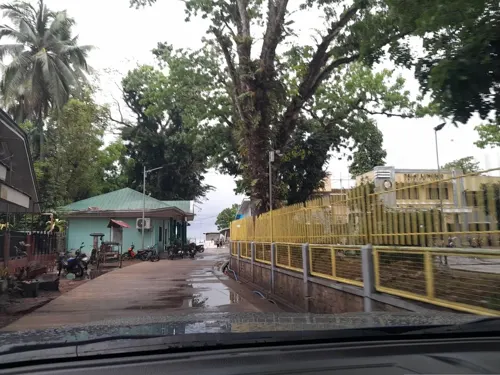
- Street-level photo, ericb1983, CC BY-SA 4.0
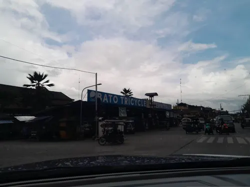
- Street-level photo, ericb1983, CC BY-SA 4.0
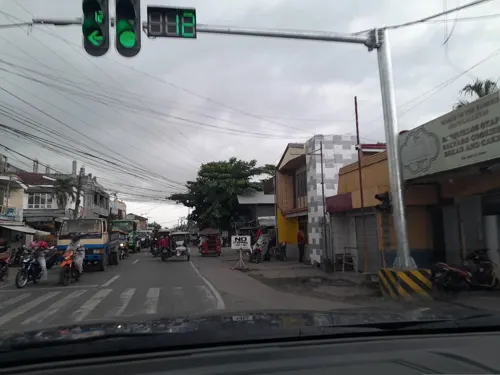
- Street-level photo, ericb1983, CC BY-SA 4.0
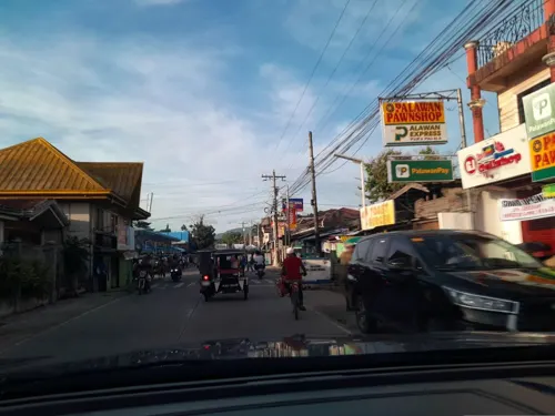
- Street-level photo, ericb1983, CC BY-SA 4.0
- Street-level photo, ericb1983, CC BY-SA 4.0
- Street-level photo, ericb1983, CC BY-SA 4.0
- Street-level photo, ericb1983, CC BY-SA 4.0
- Street-level photo, ericb1983, CC BY-SA 4.0
- Street-level photo, ericb1983, CC BY-SA 4.0
- Street-level photo, ericb1983, CC BY-SA 4.0
- Street-level photo, ericb1983, CC BY-SA 4.0
- Street-level photo, ericb1983, CC BY-SA 4.0
- Street-level photo, ericb1983, CC BY-SA 4.0
- Street-level photo, ericb1983, CC BY-SA 4.0
- Street-level photo, ericb1983, CC BY-SA 4.0
- Street-level photo, ericb1983, CC BY-SA 4.0
- Street-level photo, ericb1983, CC BY-SA 4.0
- Street-level photo, ericb1983, CC BY-SA 4.0
Page built November 7, 2026. Spotted a mistake? Tell us or suggest a place.