


Why visit Hindang
Townapedia lists 2 parks and trails, 3 places to eat, 3 places to stay and 2 attractions in and around town.
Weather in Hindang
Forecast from MET Norway (CC BY 4.0). Full forecast
About Hindang
Hindang (IPA: [hɪn'daŋ]), officially the Municipality of Hindang (Cebuano: Lungsod sa Hindang; Waray: Bungto han Hindang; Tagalog: Bayan ng Hindang), is a municipality in the province of Leyte, Philippines. According to the 2024 census, it has a population of 21,520 people.
From the Wikipedia article Hindang (this version), under CC BY-SA 4.0.
Travel tips from other travellers: Hindang on Wikivoyage (CC BY-SA 4.0).
Things to do2


Parks, trails and playgrounds2


Restaurants and cafes3

Where to stay3


History
The official name of the municipality has always been Hindang since the town's establishment in 1860. Legend has it that the name was derived from a very large tree named "Indang" which used to stand in the northern part of the town. It was told that the tree was "enchanted" because there were stones of fairies or beautiful damsels with long flowing hair basking under it on moonlit nights. There was also a ghostly tale about a man who committed suicide by hanging himself from one of its branches. When his body was discovered, the place became haunted by a voice in agony, a long silence then mournful weeping followed by a remorseful sigh.
The founders of the town were Rev. Fr. Bales, the parish priest at that time, Mission Alejandro, a prominent citizen, and the capitanes Damos Bañez, Irong Ballener, and Beo Abddies.
Like other coastal towns, Hindang suffered very much from Moro depredations. However, despite the heavy lootings, the town managed to recover each time and was able to rebuild what the pirates carried off or destroyed.
From the History section of Hindang on Wikipedia, under CC BY-SA 4.0.
Churches and places of worship2
Saint Michael the Archangel Parish Church
Church · Roman Catholic
P. Ybañez Street, Hindang
Gas and EV charging3
Schools, colleges and libraries30
Healthcare3
Map of Hindang
48 places. The map loads OpenStreetMap tiles when you open it.
Getting there and nearby towns
Ormoc Airport (OMC) is the nearest airport with scheduled flights listed in OpenStreetMap, 72 km away.
- Inopacan 7 km north, about 7 min by car
- Matalom 18 km south, about 18 min by car
- Sogod 28 km east, about 28 min by car
- Baybay 28 km north, about 28 min by car
- Macrohon 46 km southeast, about 46 min by car
- Ubay 51 km southwest, about 51 min by car
- La Paz 57 km northeast, about 57 min by car
- Trinidad 58 km southwest, about 58 min by car
- Burauen 63 km north, about 1 h by car
- Ormoc 65 km north, about 1 h by car
Drive times are estimates from straight-line distance, not routes.
Local news
Headlines from INDB.
Reviews, tips and questions
Loading what members have shared...
Sources and licences
- GeoNames (CC BY 4.0): population, coordinates, regions and time zone
- Mapillary (see each image): photos
- OpenStreetMap contributors (ODbL 1.0): places, airports, map data
- Wikidata (CC0 1.0): elevation, founding date, time zone, website
- Wikimedia Commons (see each image): photos
- Wikipedia (CC BY-SA 4.0): overview and history text
Photo credits
- Sonnenuntergang Panorama, Maximilian Felkel, CC BY-SA 3.0
- ISS038-E-1079 - View of Earth, Earth Science and Remote Sensing Unit , Lyndon B. Johnson Space Center, Public domain
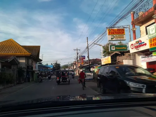
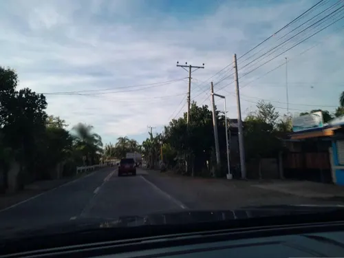
- Street-level photo, ericb1983, CC BY-SA 4.0
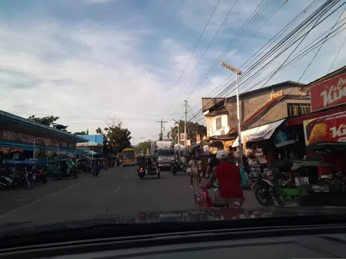
- Street-level photo, ericb1983, CC BY-SA 4.0
- Street-level photo, ericb1983, CC BY-SA 4.0
- Street-level photo, ericb1983, CC BY-SA 4.0
- Street-level photo, ericb1983, CC BY-SA 4.0
- Street-level photo, ericb1983, CC BY-SA 4.0
- Street-level photo, ericb1983, CC BY-SA 4.0
Page built November 7, 2026. Spotted a mistake? Tell us or suggest a place.