


MacArthur, Philippines
MacArthur is a town of 2,668 people in Eastern Visayas, Philippines.
Why visit MacArthur
Townapedia lists 1 place to stay in and around town.
Weather in MacArthur
Forecast from MET Norway (CC BY 4.0). Full forecast
About MacArthur
MacArthur (IPA: [mək 'ɑːrθər]), officially the Municipality of MacArthur (Waray: Bungto han MacArthur; Tagalog: Bayan ng MacArthur), is a municipality in the province of Leyte, Philippines. According to the 2024 census, it has a population of 22,256 people.
From the Wikipedia article MacArthur, Leyte (this version), under CC BY-SA 4.0.
Where to stay1

Gas and EV charging1


Schools, colleges and libraries41

29 more on the map.
History
The name MacArthur can be traced back to the liberation of the Philippines from the hands of the Japanese forces. As an expression of gratitude, six years after American general Douglas MacArthur landed at the Leyte Beach, the Leyteños named the town after the American general. This occurred after the lobbying efforts of Daniel Romualdez, then Congressman of the First District of Leyte.
In the latter part of 19th century, MacArthur was a flourishing village called Bagacay, named after a bamboo species, because of the abundance of the plant in the locality. Its first inhabitants were the families of Gabion, Matol, Echavez, Moquia, Jervoso and Galo who came from the neighboring towns of Abuyog, Tolosa, Tanauan and Burauen. Abuyog was its mother town.
The name Bagacay was then changed to Tarragona by a parish priest of Abuyog, Friar Bernardo Tapiol, who choose the name in honor of his native city in Spain. Sometime in 1898, Tarragona became an independent town with Anastacio Jervoso as Captain, the chief executive. That was when the Spanish government changed hands with the short-lived Philippine Republic. Leyte was then under the governorship of Gen. Mojica, Military Governor of Leyte. The local government, however, ended with the short-lived Philippine Republic, returning to its former status as a barrio.
From the History section of MacArthur, Leyte on Wikipedia, under CC BY-SA 4.0.
Map of MacArthur
43 places. The map loads OpenStreetMap tiles when you open it.
Getting there and nearby towns
Daniel Z. Romualdez Airport (TAC) is the nearest airport with scheduled flights listed in OpenStreetMap, 44 km away.
- Dulag 14 km north, about 14 min by car
- Burauen 19 km northwest, about 19 min by car
- Baybay 27 km southwest, about 27 min by car
- Tanauan 31 km north, about 31 min by car
- Palo 36 km north, about 36 min by car
- Pawing 38 km north, about 38 min by car
- Tacloban 45 km north, about 45 min by car
- Ormoc 46 km northwest, about 46 min by car
- Inopacan 47 km southwest, about 47 min by car
- Sogod 50 km south, about 50 min by car
Drive times are estimates from straight-line distance, not routes.
Local news
Headlines from INDB.
Reviews, tips and questions
Loading what members have shared...
Sources and licences
- GeoNames (CC BY 4.0): population, coordinates, regions and time zone
- Mapillary (see each image): photos
- OpenStreetMap contributors (ODbL 1.0): places, airports, map data
- Wikidata (CC0 1.0): elevation, founding date, time zone, website
- Wikimedia Commons (see each image): photos
- Wikipedia (CC BY-SA 4.0): overview and history text
Photo credits
- Mayorga unknown riverside and beach - panoramio - Gonchang (1), Gonchang, CC BY 3.0
- Mayorga unknown riverside and beach - panoramio, Gonchang, CC BY 3.0
- Mayorga unknown riverside and beach - panoramio - Gonchang, Gonchang, CC BY 3.0
- Mayorga beach - panoramio, Gonchang, CC BY 3.0
- Mayorga beach left - panoramio, Gonchang, CC BY 3.0
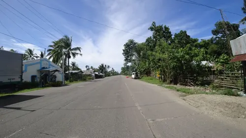
- Street-level photo, danbjoseph, CC BY-SA 4.0
Page built November 7, 2026. Spotted a mistake? Tell us or suggest a place.