
Pastrana, Philippines
Pastrana is a town of 2,730 people in Eastern Visayas, Philippines.
Why visit Pastrana
Townapedia lists 1 museum or landmark and 3 places to eat in and around town.
Weather in Pastrana
Forecast from MET Norway (CC BY 4.0). Full forecast
About Pastrana
Pastrana (IPA: [pɐs'trana]), officially the Municipality of Pastrana (Waray: Bungto han Pastrana; Tagalog: Bayan ng Pastrana), is a municipality in the province of Leyte, Philippines. According to the 2024 census, it has a population of 20,327 people.
From the Wikipedia article Pastrana, Leyte (this version), under CC BY-SA 4.0.
Museums and landmarks1
Restaurants and cafes3

Churches and places of worship6


Shopping1

History
Prior to incorporation as a separate municipality, Pastrana was part of the municipality of Dagami.
Before the coming of the Spaniards, the settlement was called "Pamagpagan" because of the way the native inhabitants left their hair in disarray. In 1891, Captain Wenceslao Nielo, with the aid of a Spanish Franciscan friar by the name of Fr. Eusebio Ibanez, organized the settlement into a town and was transferred from Guinbaya-an to its present site. Father Ibanez blessed it with a holy mass. As a token of gratitude, the inhabitants called the town "Pastrana" in honor of Fr. Ibanez who was a native of Pastrana, Spain.
Shortly afterwards, parochial schools were established. At this time, the unit of local administration was the pueblo which embraced a number of barrios. The first gobernadorcillo was Captain Wenceslao Nielo. He was assisted in the administration of the pueblo by the "Guinhaupan," a group of men equivalent to the present councilors, by the "tenientes" and by the "Cabezas de barangay."
From the History section of Pastrana, Leyte on Wikipedia, under CC BY-SA 4.0.
Schools, colleges and libraries88
Map of Pastrana
99 places. The map loads OpenStreetMap tiles when you open it.
Getting there and nearby towns
Daniel Z. Romualdez Airport (TAC) is the nearest airport with scheduled flights listed in OpenStreetMap, 18 km away.
- Palo 12 km east, about 12 min by car
- Tanauan 15 km east, about 15 min by car
- Tacloban 18 km northeast, about 18 min by car
- Burauen 18 km south, about 18 min by car
- Dulag 26 km southeast, about 26 min by car
- Carigara 29 km northwest, about 29 min by car
- Ormoc 34 km southwest, about 34 min by car
- Santa Rita 35 km north, about 35 min by car
- Baybay 52 km south, about 52 min by car
- Palompon 56 km west, about 56 min by car
Drive times are estimates from straight-line distance, not routes.
Local news
Headlines from INDB.
Reviews, tips and questions
Loading what members have shared...
Sources and licences
- GeoNames (CC BY 4.0): population, coordinates, regions and time zone
- Mapillary (see each image): photos
- OpenStreetMap contributors (ODbL 1.0): places, airports, map data
- Wikidata (CC0 1.0): elevation, founding date, time zone, website
- Wikipedia (CC BY-SA 4.0): overview and history text
Photo credits
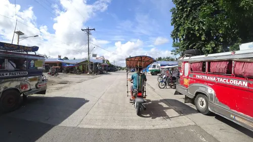
- Street-level photo, danbjoseph, CC BY-SA 4.0
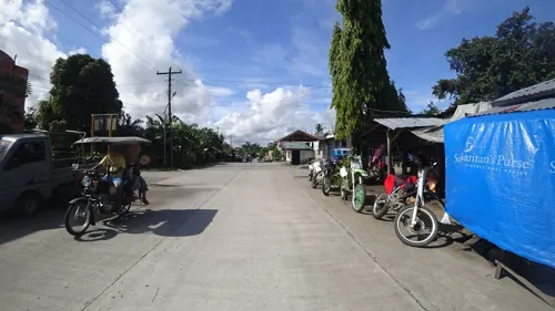
- Street-level photo, danbjoseph, CC BY-SA 4.0
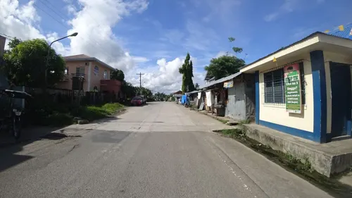
- Street-level photo, danbjoseph, CC BY-SA 4.0
Page built November 7, 2026. Spotted a mistake? Tell us or suggest a place.