
San Miguel, Philippines
San Miguel is a town of 3,401 people in Eastern Visayas, Philippines.
Why visit San Miguel
Townapedia lists 2 museums and landmarks, 1 park or trail, 9 places to eat and 1 place to stay in and around town.
Weather in San Miguel
Forecast from MET Norway (CC BY 4.0). Full forecast
About San Miguel
San Miguel (IPA: [sɐn mɪˈɡɛl]), officially the Municipality of San Miguel (Waray: Bungto han San Miguel; Tagalog: Bayan ng San Miguel), is a municipality in the province of Leyte, Philippines. According to the 2024 census, it has a population of 20,322 people.
From the Wikipedia article San Miguel, Leyte (this version), under CC BY-SA 4.0.
Museums and landmarks2

Parks, trails and playgrounds1

Restaurants and cafes9



Where to stay1

History
According to the manuscript written by Lorenzo Babula, one of the old town executives of this municipality, the first people were only few then so their homes were scattered in the forests where they tilled land for subsistence. Later, some settled along the seashore and they fished for food and as a means of livelihood.
As time went on, many of them lived in a place called "Sabang" which means mouth of the river then later it became a small barrio. This was the period when the "Moros" from Jolo who were pirates forced women to go with them to Mindanao so they could be sold to their "datu" or ruler as cooks or laundrywomen.
As time went on, many of them lived in a place called "Sabang" which means mouth of the river then later it became a small barrio. This was the period when the "Moros" from Jolo who were pirates forced women to go with them to Mindanao so they could be sold to their "datu" or ruler as cooks or laundrywomen.
From the History section of San Miguel, Leyte on Wikipedia, under CC BY-SA 4.0.
Churches and places of worship2
Gas and EV charging3
Schools, colleges and libraries91
Healthcare4
Map of San Miguel
113 places. The map loads OpenStreetMap tiles when you open it.
Getting there and nearby towns
Daniel Z. Romualdez Airport (TAC) is the nearest airport with scheduled flights listed in OpenStreetMap, 22 km away.
- Carigara 17 km west, about 17 min by car
- Tacloban 19 km east, about 19 min by car
- Palo 21 km southeast, about 21 min by car
- Santa Rita 24 km northeast, about 24 min by car
- Tanauan 27 km southeast, about 27 min by car
- Burauen 33 km south, about 33 min by car
- Ormoc 38 km southwest, about 38 min by car
- Dulag 41 km southeast, about 41 min by car
- Palompon 54 km southwest, about 54 min by car
- Catbalogan 57 km north, about 57 min by car
Drive times are estimates from straight-line distance, not routes.
Local news
Headlines from INDB.
Reviews, tips and questions
Loading what members have shared...
Sources and licences
- GeoNames (CC BY 4.0): population, coordinates, regions and time zone
- Mapillary (see each image): photos
- OpenStreetMap contributors (ODbL 1.0): places, airports, map data
- Wikidata (CC0 1.0): elevation, founding date, time zone, website
- Wikipedia (CC BY-SA 4.0): overview and history text
Photo credits
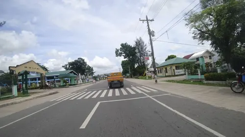
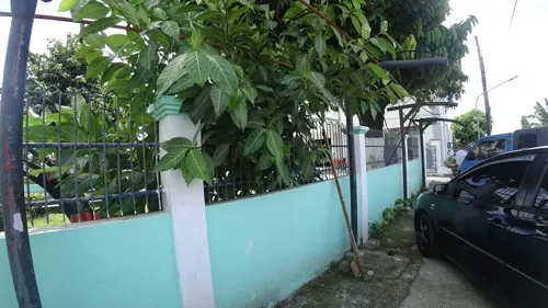
- Street-level photo, danbjoseph, CC BY-SA 4.0
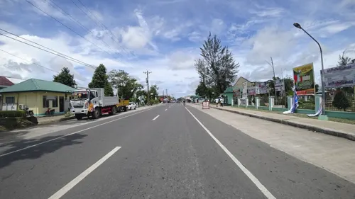
- Street-level photo, danbjoseph, CC BY-SA 4.0
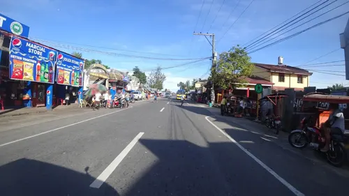
- Street-level photo, danbjoseph, CC BY-SA 4.0
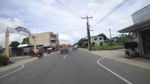
- Street-level photo, danbjoseph, CC BY-SA 4.0
- Street-level photo, danbjoseph, CC BY-SA 4.0
- Street-level photo, danbjoseph, CC BY-SA 4.0
Page built November 7, 2026. Spotted a mistake? Tell us or suggest a place.