


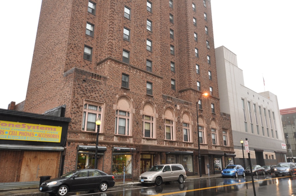


Sacred Heart University, Connecticut
Sacred Heart University is a community of 1,436 people in Connecticut.
Why visit Sacred Heart University
Townapedia lists 5 museums and landmarks, 12 parks and trails, 17 places to eat and 1 attraction in and around town.
Highlights include Chestnut Hill, Discovery Museum and Planetarium, Bridgeport Downtown North Historic District and Connecticut's Beardsley Zoo.
July is the warmest month, with average highs of 83°F; January lows average 24°F, and about 34 inches of snow fall in a normal year.
Weather in Sacred Heart University
Forecast from the National Weather Service. Full forecast
Things to do1

Museums and landmarks5
Discovery Museum and Planetarium
Museum · 0.7 mi
Science museum in Bridgeport, Connecticut, USA
4450 Park Avenue, Bridgeport
Bridgeport Downtown North Historic District
Monument and historic site · National Register of Historic Places · 3.3 mi
Historic district in Connecticut, United States
Fairfield County Jail
Monument and historic site · National Register of Historic Places · 3.1 mi
Prison in Bridgeport, United States of America
Stratfield Historic District
Monument and historic site · National Register of Historic Places · 3.4 mi
United States historic place

Parks, trails and playgrounds12


Connecticut's Beardsley Zoo
Park · National Register of Historic Places · 3.3 mi
Zoo in the United States

Fairchild Wheeler Golf Course
Golf course · 0.5 mi
Comprises two 18-hole courses, Red and Black
2390 Easton Tpke, Fairfield



Restaurants and cafes17

The Cheesecake Factory
Diner · American · 1.1 mi
5065 Main Street, Trumbull
Mo-Th 11:30-22:00; Fr 11:30-23:00; Sa 11:00-23:00; Su 10:00-22:00

7 Brew
Cafe · Coffee Shop · 1.3 mi
4707 Main Street, Bridgeport
Su-Th 05:30-22:00; Fr-Sa 05:30-23:00

Pizza Hut
Restaurant · Pizza · 1.5 mi
Mo-Th 11:00-23:00; Fr-Sa 11:00-24:00; Su 11:00-23:00
Shangri-La Hot Woks & Sushi Bar
Restaurant · Japanese · 1.3 mi
4615 Main Street, Bridgeport
Mo-Th 11:00-22:00; Fr,Sa 11:00-23:00; Su 12:00-22:00
Galaxy Diner
Restaurant · Diner · 1.5 mi
4241 Main Street, Bridgeport
5 more on the map.
Churches and places of worship16
Kingdom Hall of Jehovah's Witnesses
Church · Jehovahs Witness · 0.9 mi
3536 Madison Avenue, Bridgeport
The Church of Jesus Christ of Latter-day Saints
Church · Mormon · 1.5 mi
26 Bonnie View Drive, Trumbull
Shopping8
Gas and EV charging2
Schools, colleges and libraries51
Saint Andrew Catholic Academy of Bridgeport
School · Roman Catholic · 1.1 mi
395 Anton Street, Bridgeport
Achievement First Bridgeport Academy
School · 4.1 mi
655 Stillman St., Bridgeport
Healthcare1
Map of Sacred Heart University
113 places. The map loads OpenStreetMap tiles when you open it.
Climate by month
Monthly table
| Month | High | Low | Rain | Snow |
|---|---|---|---|---|
| Jan | 38°F | 24°F | 3.2 in | 8.5 in |
| Feb | 40°F | 26°F | 3.1 in | 10.7 in |
| Mar | 47°F | 32°F | 4.1 in | 7.0 in |
| Apr | 58°F | 42°F | 4.2 in | 0.9 in |
| May | 68°F | 52°F | 3.6 in | 0.0 in |
| Jun | 78°F | 62°F | 3.8 in | 0.0 in |
| Jul | 83°F | 68°F | 3.3 in | 0.0 in |
| Aug | 82°F | 67°F | 4.0 in | 0.0 in |
| Sep | 75°F | 60°F | 4.0 in | 0.0 in |
| Oct | 64°F | 48°F | 3.8 in | 0.1 in |
| Nov | 54°F | 38°F | 3.1 in | 0.9 in |
| Dec | 44°F | 30°F | 4.0 in | 5.5 in |
U.S. Climate Normals 1991-2020 for Bridgeport Sikorsky Mem Ap 72504 (7 mi away), NOAA NCEI.
People and cost of living
American Community Survey 5-year estimates, 2020-2024, U.S. Census Bureau. Estimates have margins of error, larger for small towns.
Disaster history
The county has had 25 federal disaster declarations since 2000, most often for hurricanes.
- 2024-09-20: Severe Storm, Flooding, Landslides, And Mudslides (Severe Storm)
- 2024-08-21: Severe Storms, Flooding, Landslides, And Mudslides (Severe Storm)
- 2021-10-30: Remnants Of Hurricane Ida (Hurricane)
- 2021-08-22: Hurricane Henri (Hurricane)
- 2021-01-12: Tropical Storm Isaias (Hurricane)
- 2020-08-06: Tropical Storm Isaias (Hurricane)
OpenFEMA disaster declarations summaries.
Getting there and nearby towns
Igor I. Sikorsky Memorial Airport (BDR) is the nearest airport with scheduled flights listed in OpenStreetMap, 7 miles away.
- Bridgeport 3 mi southeast, about 6 min by car
- Long Hill 3 mi north, about 5 min by car
- Trumbull Center 3 mi northeast, about 6 min by car
- Tashua 4 mi north, about 6 min by car
- Daniels Farm 4 mi northeast, about 7 min by car
- Fairfield University 4 mi south, about 7 min by car
- Mill Plain 5 mi south, about 8 min by car
- Staples 6 mi southwest, about 10 min by car
- Coleytown 6 mi southwest, about 10 min by car
- Stratford Downtown 6 mi east, about 10 min by car
Drive times are estimates from straight-line distance, not routes.
Local news
Headlines from INDB, the NEMICO news database.
Reviews, tips and questions
Loading what members have shared...
Sources and licences
- NCES EDGE (Public domain): public schools
- NOAA NCEI U.S. Climate Normals 1991-2020 (Public domain): climate by month
- OpenFEMA (Public domain): disaster declarations
- OpenStreetMap contributors (ODbL 1.0): places, airports, map data
- U.S. Census Bureau (Public domain): population, income, housing, education, commute
- Wikidata (CC0 1.0): landmarks and historic places
- Wikimedia Commons (see each image): photos
Photo credits
- DiscoveryMuseumBPT, Markvs88 ( talk ), Public domain
- OldFairfieldCountyJail, Unknown author Unknown author, Public domain
- Entrance, Beardsley Zoo, 2009-11-06, Sage Ross, CC BY-SA 3.0
- BridgeportCT HotelBeach 1, User:Magicpiano, CC BY-SA 4.0
- BridgeportCT StratfieldHD WestParishChurch, User:Magicpiano, CC BY-SA 4.0
- Our Lady of the Assumption Church, Westport, Connecticut, WestportWiki, CC BY-SA 3.0
- StPatrickBridgeportCT2, Lukascb, CC BY-SA 3.0
- St. Theresa Church Trumbull CT, SaintTheresaCT, CC BY-SA 4.0
- Brcc1976, BRCC, Public domain


Page built October 30, 2026. Spotted a mistake? Tell us or suggest a place.