


Why visit Ban Khao Lak
Townapedia lists 1 museum or landmark, 2 parks and trails, 25 places to eat, 19 places to stay and 4 attractions in and around town.
Weather in Ban Khao Lak
Forecast from MET Norway (CC BY 4.0). Full forecast
About Ban Khao Lak
Khao Lak (Thai: เขาหลัก, pronounced [kʰǎw làk]) is a small village in the Takua Pa District of Phang Nga Province, Thailand, located south of Lak Mountain. Tour operators like to use the popular name to refer to a series of nearby villages, now primarily tourist-oriented, mainly in Takua Pa District.
From the Wikipedia article Khao Lak (this version), under CC BY-SA 4.0.
Travel tips from other travellers: Ban Khao Lak on Wikivoyage (CC BY-SA 4.0).
Photos of Ban Khao Lak


Things to do4



Museums and landmarks1

Parks, trails and playgrounds2

Restaurants and cafes25
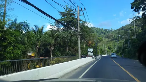
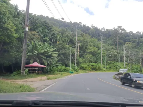
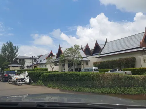
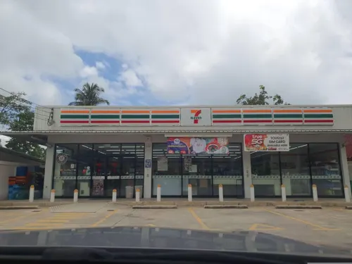
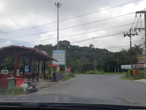
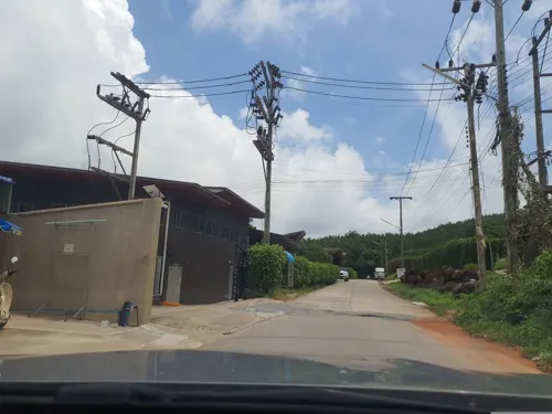
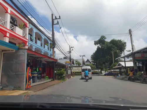

13 more on the map.
History
The lush area around Khao Lak was once called Takola. Artifacts dating back to 1,400 years show evidence it was a significant coastal town and trading post of the ancient Maritime Silk Route.
In 1987, over nine huts were found inside cashew nut trees of Khao Lak Resort, where species of Thai wildlife are a common sight. Khao Lak was mentioned for the first time in 1988 in the second edition of Traveller Handbuch Thailand by Stefan Loose Verlag.
Khao Lak was the coastal area of Thailand hardest hit by the tsunami resulting from the 26 December 2004 Indian Ocean earthquake. Many people died including many foreign tourists. The final death toll was over 4,000, with local unofficial estimates topping 10,000 due to the lack of accurate government censuses and the fact that much of the migrant Burmese population was not documented nor recognized as legal residents.
Most of the coastal landscape was destroyed by the tsunami. Some replanting programmes have been initiated and a great deal has been accomplished in the rejuvenation of surrounding foliage. Studies suggesting that coastal vegetation may have helped buffer the effects of the waves have ensured that replanting and maintenance of the coastal vegetation have become a priority in the reconstruction of the landscape.
Read more of the history
The force of the tsunami washed Patrol Boat 813 (Tor 813) almost 1.25 kilometres (0.78 miles) inland from Bang Niang Beach. It was on patrol, guarding Poom Jensen, a grandson of the king, as he was jet skiing in front of La Flora Resort. Despite rescue efforts, he could not be saved. His mother, Princess Ubol Ratana, and sister survived by fleeing to an upper story of La Flora. Patrol Boat 813 remains at the spot where it was deposited by the tsunami and has been preserved as a museum ship.
Others among the casualties were well-known Finnish musician and TV host Aki Sirkesalo and his family, and Imre von Polgar, guitarist for the Swedish rock band, The Watermelon Men. Almost four years old at the time, a young girl was swept away at Khao Lak and remained the subject of a media-covered intensive search despite being formally identified in August 2005 as a victim. Jane Holland, the elder daughter of film director and actor Richard Attenborough, perished in the tsunami with several members of her family. Finnish politician Sauli Niinistö and his adult son survived by clinging to a power pole.
Since the 2004 tsunami, an early-warning system has been installed along the affected coastline. In April 2012, it received its most recent test following an earthquake off the coast of Sumatra. Audible warning sirens alerted the local population to the possibility of a tsunami roughly two hours before estimated landfall, allowing the populace to move to higher ground inland.
The 2012 film The Impossible is based on the experiences of María Belón and her family, who survived the 2004 tsunami, and was also filmed in Khao Lak.
From the History section of Khao Lak on Wikipedia, under CC BY-SA 4.0.
More about Ban Khao Lak
Geography
Khao Lak is a series of villages, now tourist-oriented, mainly in the Takua Pa District and partly in the Thai Mueang District of Phang Nga Province, Thailand. It is located on the Andaman Sea coastline, approximately 60 kilometers north of Phuket. The region is known for its tranquil beaches, lush tropical landscapes, and as a departure point for diving trips to the Similan Islands.
It is generally accepted that Khao Lak beaches include (from south to north):
Klong Ri An Beach, south of the headland marking the southern boundary of the region
Nang Thong Beach, in the village of Bang La On (frequently called—mistakenly—Khao Lak)
Bang Niang, in the village of the same name some 2–3 km (1.2–1.9 mi) north of Bang La On
Khuk Khak, in the village of the same name some 2–3 km (1.2–1.9 mi) north of Bang Niang
Taken together, these beaches stretch for some 25 kilometres (16 miles) along the Andaman Sea. All beaches are public, as are all beaches in Thailand.
The weather in Khao Lak can be separated into two distinct seasons. The dry season between November and April, and the monsoon season from May to October. Khao Lak is mostly warm all year round with temperatures averaging around 28 °C to 32 °C.
Economy
Since the tsunami, Khao Lak's infrastructure and economy have bounced back. Coastal resorts have been reconstructed or repaired, and new ones have been built or are in the process of being built. In 2016, there were reportedly 7,822 hotel rooms at 104 registered accommodations. Occupancy rates range from 70 to 90 percent during the high season period (November–March).
Over time, the economy in the Khao Lak region has evolved and changed. In the past, tin mining played a significant role as an economic sector. Today, other industries have come to the forefront. Shrimp farms contribute to food production, while fishing continues to be a source of income. Rubber plantations provide raw materials for various products, and palm oil plantations are also an important economic factor. Additionally, fruit plantations, especially for exotic fruits like mangosteen, rambutan, and durian, have become established.
Today, tourism has become the main source of income for the region, significantly shaping Khao Lak's economic landscape. However, during the COVID-19 pandemic, there was an increased focus on agriculture. This emphasis has helped stabilize the economy in a time of uncertainty and showcases the diversity and adaptability of the economic sectors in Khao Lak.
From the Wikipedia article Khao Lak, under CC BY-SA 4.0.
Where to stay19
Shopping3
Map of Ban Khao Lak
54 places. The map loads OpenStreetMap tiles when you open it.
Getting there and nearby towns
Phuket International Airport (HKT) is the nearest airport with scheduled flights listed in OpenStreetMap, 57 km away.
- Takua Pa 31 km north, about 31 min by car
- Phang Nga 37 km southeast, about 37 min by car
- Ban Mai Khao 55 km south, about 55 min by car
- Ao Luek 59 km southeast, about 59 min by car
- Ban Kamala 74 km south, about 1 h 15 min by car
- Kathu 78 km south, about 1 h 15 min by car
- Patong 80 km south, about 1 h 15 min by car
- Phuket 82 km south, about 1 h 15 min by car
- Wichit 82 km south, about 1 h 15 min by car
- Ban Ko Sire 83 km south, about 1 h 30 min by car
Drive times are estimates from straight-line distance, not routes.
Towns near Ban Khao Lak


Keep exploring
Local news
Headlines from INDB.
Reviews, tips and questions
Loading what members have shared...
Sources and licences
- GeoNames (CC BY 4.0): population, coordinates, regions and time zone
- Mapillary (see each image): photos
- OpenStreetMap contributors (ODbL 1.0): places, airports, map data
- Wikidata (CC0 1.0): elevation, founding date, time zone, website
- Wikimedia Commons (see each image): photos
- Wikipedia (CC BY-SA 4.0): overview and history text
Photo credits
- Khao Lak Beach, Thailand, Vyacheslav Argenberg, CC BY 4.0
- Coelostoma vitalisi Orchymont 1923 (28326002910), Udo Schmidt from Deutschland, CC BY-SA 2.0
- Ceropria induta (Wiedemann, 1819) (37196005196), Udo Schmidt from Deutschland, CC BY-SA 2.0
- Anomala cupripes Hope, 1839 (22474385812), Udo Schmidt from Deutschland, CC BY-SA 2.0
- Uloma rufilabris Fairmaire, 1882 (36018673686), Udo Schmidt from Deutschland, CC BY-SA 2.0
- Omonadus confucii (Marseul, 1877) (36621578082), Udo Schmidt from Deutschland, CC BY-SA 2.0
- Coelostoma fallaciosum Orchymont, 1936 (34227538672), Udo Schmidt from Deutschland, CC BY-SA 2.0
- Megopis maculosa (Thomson, 1857) (20756401315), Udo Schmidt from Deutschland, CC BY-SA 2.0
- Anaedus forticornis (37511811531), Udo Schmidt from Deutschland, CC BY-SA 2.0
- Anaedus robusticollis (37258388866), Udo Schmidt from Deutschland, CC BY-SA 2.0
- Coelostoma subditum d`Orchymont, 1936 (28050224664), Udo Schmidt from Deutschland, CC BY-SA 2.0
- Engonius gratus (Gorham, 1891) (34921535613), Udo Schmidt from Deutschland, CC BY-SA 2.0
- Caelostomus picipes (W.S.Macleay, 1825) (23910657804), Udo Schmidt from Deutschland, CC BY-SA 2.0
- Pentagonica malickyi Baehr, 2011 (24627000995), Udo Schmidt from Deutschland, CC BY-SA 2.0
- Chlaenius lynx Chaudoir, 1856 (23354906994), Udo Schmidt from Deutschland, CC BY-SA 2.0
- Dicaelindus feldspathicus W.S.Macleay, 1825 (26523566165), Udo Schmidt from Deutschland, CC BY-SA 2.0
- Platymetopus tritus Bates, 1889 (26292793382), Udo Schmidt from Deutschland, CC BY-SA 2.0
- Sybra multilineata Pic, 1927 (26092666812), Udo Schmidt from Deutschland, CC BY-SA 2.0
- Gonocephalum bradymeroides Chatanay, 1917 (35906524851), Udo Schmidt from Deutschland, CC BY-SA 2.0
- Pseudognathaphanus punctilabris W.S. MacLeay, 1825 (25938937593), Udo Schmidt from Deutschland, CC BY-SA 2.0
- Oodes siamensis (Chaudoir, 1882) (26908824225), Udo Schmidt from Deutschland, CC BY-SA 2.0
- Ulomimus indicus Bates, 1873 (37130215326), Udo Schmidt from Deutschland, CC BY-SA 2.0
- Mesomorphus latiusculus (Chatanay, 1917) (37584291336), Udo Schmidt from Deutschland, CC BY-SA 2.0
- Pachylister bellicus (Marseul, 1884) (32853376755), Udo Schmidt from Deutschland, CC BY-SA 2.0
- Phenolia (Lasiodites) picta (MacLeay, 1825) (25315769299), Udo Schmidt from Deutschland, CC BY-SA 2.0
- Tetraglenes hirticornis (Fabricius, 1798) (22217971380), Udo Schmidt from Deutschland, CC BY-SA 2.0
- Calochroa flavomaculata (Hope, 1831), URSchmidt, CC BY-SA 4.0
- Copris punctulatus Wiedemann, 1823, URSchmidt, CC BY-SA 4.0
- Chaetabraeus controversus (Cooman, 1935) (32585221220), Udo Schmidt from Deutschland, CC BY-SA 2.0
- Violagonum violaceum (Chaudoir, 1859) (24124372256), Udo Schmidt from Deutschland, CC BY-SA 2.0
- Dendrocellus geniculatus (Klug 1834) (23262676459), Udo Schmidt from Deutschland, CC BY-SA 2.0
- Coptodera interrupta Schmidt-Goebel, 1846 (22345124654), Udo Schmidt from Deutschland, CC BY-SA 2.0
- Melanchrous cf. flavipes (Motschulsky, 1866) (25544978103), Udo Schmidt from Deutschland, CC BY-SA 2.0
- Pareuryaptus glastenvalum (Morvan, 1992) (25702736700), Udo Schmidt from Deutschland, CC BY-SA 2.0
- Platydema subfascium (Walker, 1858) Female (37054431816), Udo Schmidt from Deutschland, CC BY-SA 2.0
- Gonocephalum rileyi (Kaszab, 1952) (35995466501), Udo Schmidt from Deutschland, CC BY-SA 2.0
- Cneocnemis haemorrhoa (Fairmaire, 1893) (36975643081), Udo Schmidt from Deutschland, CC BY-SA 2.0
- Gonocephalum bilineatum (Walker, 1858) (37706150651), Udo Schmidt from Deutschland, CC BY-SA 2.0
- Strongylium cultellatum Maeklin, 1867 (36901096240), Udo Schmidt from Deutschland, CC BY-SA 2.0
- Plaesius javanus Erichson, 1834 (32656211181), Udo Schmidt from Deutschland, CC BY-SA 2.0
- Street-level photo, jrcarlsen, CC BY-SA 4.0
- Street-level photo, jrcarlsen, CC BY-SA 4.0
- Street-level photo, jrcarlsen, CC BY-SA 4.0
- Street-level photo, jrcarlsen, CC BY-SA 4.0
- Street-level photo, jrcarlsen, CC BY-SA 4.0
- Street-level photo, jrcarlsen, CC BY-SA 4.0
- Street-level photo, jrcarlsen, CC BY-SA 4.0
- Street-level photo, jrcarlsen, CC BY-SA 4.0
- Street-level photo, jrcarlsen, CC BY-SA 4.0
- Street-level photo, jrcarlsen, CC BY-SA 4.0
- Street-level photo, mishari, CC BY-SA 4.0
- Street-level photo, jrcarlsen, CC BY-SA 4.0
- Street-level photo, jrcarlsen, CC BY-SA 4.0
- Street-level photo, jrcarlsen, CC BY-SA 4.0
- Street-level photo, mishari, CC BY-SA 4.0


Page built November 10, 2026. Spotted a mistake? Tell us or suggest a place.