


Why visit Ban Ratsada
Townapedia lists 4 museums and landmarks, 3 parks and trails, 16 places to eat, 8 places to stay and 2 attractions in and around town.
Highlights include HMS Stoic and TCDC Phuket.
Weather in Ban Ratsada
Forecast from MET Norway (CC BY 4.0). Full forecast
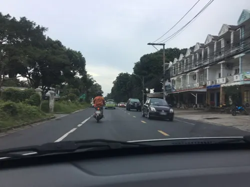
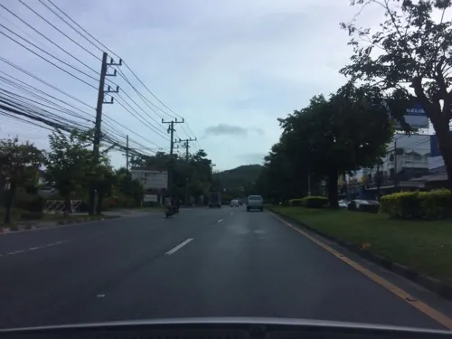
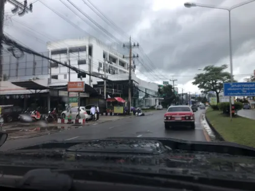
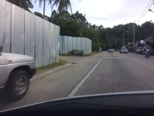
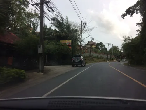
Photos of Ban Ratsada


Things to do2

Museums and landmarks4


Parks, trails and playgrounds3

Football Stadium at Phuket Rajabaht University
Sports field and stadium · 1.9 km

Restaurants and cafes16
Blue Bird Restaurant
Restaurant · Thai, Seafood · 1.8 km
9/20 ถนนเทพกระษัตรี, Phuket
10:00-22:00
Nam Yoi
Restaurant · 1.0 km
ถนนร่วมพัฒนา
Mo-Su 10:30-14:30, 16:30-19:30
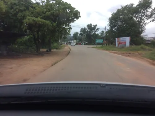
Sometime บ่อตกกุ้ง ชิวชิว
Restaurant · 2.0 km
89/5 ถนนกาญจนาอุทิศ
Mo-Su 11:00-02:00
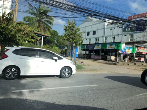
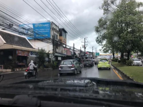


nabanhomecafe
Cafe · Coffee Shop · 1.0 km
8/2 ซอยพัชนี-บางชีเหล้า
Th-Tu 09:00-19:00
4 more on the map.
Where to stay8
Churches and places of worship7
Gas and EV charging3
Schools, colleges and libraries9
Healthcare4
Map of Ban Ratsada
56 places. The map loads OpenStreetMap tiles when you open it.
Getting there and nearby towns
Phuket International Airport (HKT) is the nearest airport with scheduled flights listed in OpenStreetMap, 24 km away.
- Phuket 2 km south, about 2 min by car
- Wichit 3 km southwest, about 3 min by car
- Ban Talat Yai 3 km south, about 3 min by car
- Ban Ko Kaeo 3 km north, about 3 min by car
- Ban Talat Nua 3 km southwest, about 3 min by car
- Ban Ko Sire 4 km southeast, about 4 min by car
- Kathu 8 km west, about 8 min by car
- Ban Chalong 10 km southwest, about 10 min by car
- Patong 12 km west, about 12 min by car
- Ban Kamala 14 km west, about 14 min by car
Drive times are estimates from straight-line distance, not routes.
Towns near Ban Ratsada


Keep exploring
Local news
Headlines from INDB.
Reviews, tips and questions
Loading what members have shared...
Sources and licences
- GeoNames (CC BY 4.0): population, coordinates, regions and time zone
- Mapillary (see each image): photos
- OpenStreetMap contributors (ODbL 1.0): places, airports, map data
- Wikidata (CC0 1.0): elevation, founding date, time zone, website, landmarks and historic places
- Wikimedia Commons (see each image): photos
Photo credits
- HMS Stoic, Stewart Bale Ltd, Liverpool, Public domain
- Sleeping cats at Phuket, Alexey Komarov, CC BY-SA 4.0
- Стойло для слонов(Исм.Альберт) - panoramio, Альберт Исмаилов, CC BY 3.0
- ISS045-E-3795 - View of Earth, Earth Science and Remote Sensing Unit , Lyndon B. Johnson Space Center, Public domain
- Phuket in early 2025 02, Renek78, CC0
- Phuket in early 2025 01, Renek78, CC0
- Phuket in early 2025 04, Renek78, CC0
- Phuket in early 2025 03, Renek78, CC0
- Бунгало(Исм.Альберт) - panoramio, Альберт Исмаилов, CC BY 3.0
- Вид из бунгало(Исм.Альберт) - panoramio, Альберт Исмаилов, CC BY 3.0
- Street-level photo, pik, CC BY-SA 4.0
- Street-level photo, pimpitcha, CC BY-SA 4.0
- Street-level photo, pik, CC BY-SA 4.0
- Street-level photo, pik, CC BY-SA 4.0
- Street-level photo, pimpitcha, CC BY-SA 4.0
- Street-level photo, pimpitcha, CC BY-SA 4.0
- Street-level photo, pimpitcha, CC BY-SA 4.0
- Street-level photo, pik, CC BY-SA 4.0
- Street-level photo, EakMor, CC BY-SA 4.0
- Street-level photo, pik, CC BY-SA 4.0
- Street-level photo, pik, CC BY-SA 4.0
- Street-level photo, pimpitcha, CC BY-SA 4.0
- Street-level photo, pik, CC BY-SA 4.0
- Street-level photo, pik, CC BY-SA 4.0
- Street-level photo, pik, CC BY-SA 4.0
- Street-level photo, pimpitcha, CC BY-SA 4.0
- Street-level photo, pimpitcha, CC BY-SA 4.0
Page built November 10, 2026. Spotted a mistake? Tell us or suggest a place.