


Buri Ram, Thailand
เทศบาลนครบุรีรัมย์
Buri Ram is a regional capital of 28,283 people in Buriram, Thailand, founded in February 14, 1937.
Why visit Buri Ram
Townapedia lists 5 museums and landmarks, 1 park or trail, 23 places to eat and 38 places to stay in and around town.
Highlights include Night Market, WalkingStreet and Rama 1 Monument.
Weather in Buri Ram
Forecast from MET Norway (CC BY 4.0). Full forecast
About Buri Ram
Buriram (Thai: บุรีรัมย์, RTGS: Buri Ram, pronounced [bū.rīː rām]; Northern Khmer: มฺืงแปะ) is a city municipality (thesaban nakhon) in Thailand, capital of Buriram Province, about 300 km (190 mi) northeast of Bangkok. incorporating Nai Mueang and Isan Subdistricts and parts Samet Subdistricts of Mueang Buriram District. In 2023 it had a population of 23,364.
From the Wikipedia article Buriram (this version), under CC BY-SA 4.0.
Travel tips from other travellers: Buri Ram on Wikivoyage (CC BY-SA 4.0).
Photos of Buri Ram


Museums and landmarks5
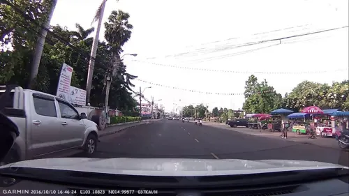
Night Market, WalkingStreet
Monument and historic site
Rom Buri Road
Sa-Su 16:00-22:00
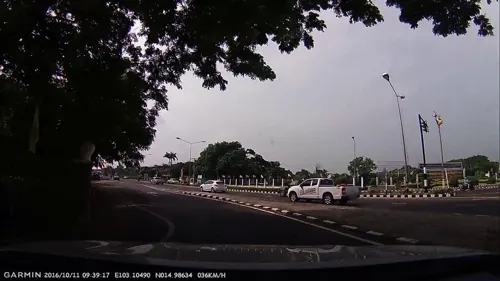


Temporary weekly market
Monument and historic site · 0.9 km
Mo 15:00 19:30, We 15:00 19:30
Parks, trails and playgrounds1

Restaurants and cafes23
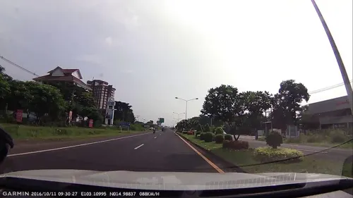
Cafe@Green Restaurant
Restaurant · Thai · 0.9 km
689 moo 1 Liangmuang Road, Buriram
Mo-Su 10:00-21:00
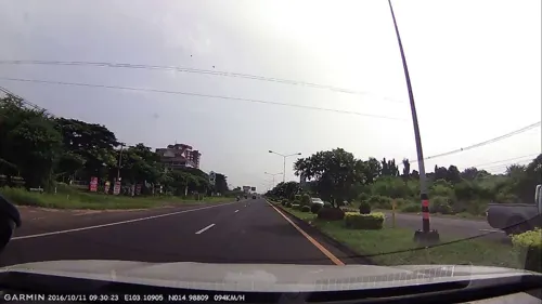
Chef Plus+ Cafe and Restaurant
Restaurant · Thai, International · 0.9 km
Mo-Su 10:00-21:00

Laanta
Restaurant · Thai, Coffee Shop
38/105 Sansuk rd, Nai Mueang , Buriram
We-Su 10:00-15:30


11 more on the map.
Where to stay38

Klim Hotel
Motel and hotel · 1.1 km
Local run Thai hotel with beautiful modern architecture.
26 more on the map.
History
Almost a thousand years ago, the present-day Buriram was part of the Khmer Empire. Ruins from that time attest to its destruction. The most significant of them is on an extinct volcano and is protected in the Phanom Rung Historical Park. According to inscriptions found, Buriram's ruler recognized the hegemony of the Khmer Empire's emperor. Before the ascent of Bangkok, little was known about Buriram. In the early Bangkok Period, in the early-19th century, the town originally called Muang Pae was renamed Buriram. After administrative reforms in the late 19th century, Buriram was incorporated into Siam as a province.
From the History section of Buriram on Wikipedia, under CC BY-SA 4.0.
More about Buri Ram
Geography
Buriram is in the centre of Buriram Province. Buriram has no significant waterways. It has a creek, Huai Chorakhe Mak, the Buriram moat (or Khlong Lalom), Nong Prue, and Huai Chorakhe Mak and Huai Talat reservoirs.
Economy
The bulk of the local economy is agricultural and the tourist industry that is a big feature in much of the rest of the country has yet to make a significant impact. Key agricultural crops include rice and cassava. The main languages spoken in Buriram are central Thai, Lao, and Khmer.
From the Wikipedia article Buriram, under CC BY-SA 4.0.
Notable people from Buri Ram
 LisaThai rapper, singer, dancer and actress (born 1997)Photo: 티비텐, CC BY 3.0
 Sasalak HaiprakhonThai footballerPhoto: Explicit, CC BY-SA 4.0
 Adisak KraisornThai association football playerPhoto: El Loko Foto, CC BY 4.0
 Tridsadee SahawongThai actor (1980-2016)Photo: Government of Thailand, CC BY 2.0
 Korrakot WiriyaudomsiriThai footballerPhoto: BURIRAM UNITED, CC BY 3.0
 Jakkraphan KaewpromThai footballerPhoto: Asusa55, CC BY-SA 4.0
 Sitthichai SitsongpeenongThai kickboxerPhoto: Changangela92, CC BY-SA 4.0
 Alongkorn PrathumwongThai footballerPhoto: EL Loko Foto, CC BY 4.0
 Watchara KrearumThai association football playerPhoto: El_Loko für www.thai-fussball.com, CC BY 4.0
- Chatchu-on MoksriThai volleyball player
- Chalermsak Aukkeeassociation football player
- Ratthanakorn Maikamiassociation football player
Born in Buri Ram, according to Wikidata (CC0). Each name links to its Wikipedia article.
Churches and places of worship4
Shopping6
Gas and EV charging7
Schools, colleges and libraries4
Healthcare3
Map of Buri Ram
91 places. The map loads OpenStreetMap tiles when you open it.
Getting there and nearby towns
Buriram Airport (BFV) is the nearest airport with scheduled flights listed in OpenStreetMap, 30 km away.
- Satuek 39 km northeast, about 39 min by car
- Surin 44 km east, about 44 min by car
- Prakhon Chai 43 km south, about 43 min by car
- Ban Huai Thalaeng 49 km west, about 49 min by car
- Nang Rong 52 km southwest, about 52 min by car
- Phayakkhaphum Phisai 59 km north, about 59 min by car
- Nong Ki 70 km southwest, about 1 h 15 min by car
- Phimai 70 km west, about 1 h 15 min by car
- Kaset Wisai 90 km northeast, about 1 h 30 min by car
Drive times are estimates from straight-line distance, not routes.
Towns near Buri Ram


Keep exploring
Local news
Headlines from INDB.
Reviews, tips and questions
Loading what members have shared...
Sources and licences
- GeoNames (CC BY 4.0): population, coordinates, regions and time zone
- Mapillary (see each image): photos
- OpenStreetMap contributors (ODbL 1.0): places, airports, map data
- Wikidata (CC0 1.0): elevation, founding date, time zone, website
- Wikimedia Commons (see each image): photos
- Wikipedia (CC BY-SA 4.0): overview and history text
Photo credits
- Romburi park 2013, เดิพ, CC BY-SA 3.0
- Romburi park in the evening 2018, Thanapas.som, CC BY-SA 4.0
- Romburi Park, New Year 2019, Thanapas.som, CC BY-SA 4.0
- Romburi road in the evening (2024), Reversemos.sapanaht, CC BY-SA 4.0
- Building 10, Buriram Pittayakhom School, Thanapas.som, CC BY-SA 4.0
- Building 5, Buriram Pittayakhom School, Thanapas.som, CC BY-SA 4.0
- Canteen 2, Buriram Pittayakhom School, Reversemos.sapanaht, CC BY-SA 4.0
- Building 1, Buriram Pittayakhom School, Thanapas.som, CC BY-SA 4.0
- Buriram Bus Terminal (2024) 02, Reversemos.sapanaht, CC BY-SA 4.0
- Buriram Bus Terminal (2024) 03, Reversemos.sapanaht, CC BY-SA 4.0
- Building 6, Buriram Pittayakhom School, Reversemos.sapanaht, CC BY-SA 4.0
- Buriram Bus Terminal (2024) 01, Reversemos.sapanaht, CC BY-SA 4.0
- Building 9 of Buriram Pittayakhom School, Thanapas.som, CC BY-SA 4.0
- Building 2, Buriram Pittayakhom School, Thanapas.som, CC BY-SA 4.0
- Canteen 1, Buriram Pittayakhom School, Reversemos.sapanaht, CC BY-SA 4.0
- Loudspeaker of Buriram Pittayakhom School, Reversemos.sapanaht, CC BY-SA 4.0
- อาคาร9-โรงเรียนบุรีรัมย์พิทยาคม-2565, BPS Media, CC BY-SA 4.0
- สระน้ำสวนธรรมะ Dharma pond, Buriram Pittayakhom School, Reversemos.sapanaht, CC BY-SA 4.0
- Wat Klang Buriram 2025, Reversemos.sapanaht, CC BY-SA 4.0
- Building 4, Buriram Pittayakhom School, Thanapas.som, CC BY-SA 4.0
- Dome and multi-purposed area of Buriram Pittayakhom School, Reversemos.sapanaht, CC BY-SA 4.0
- Building 3, Buriram Pittayakhom School, Thanapas.som, CC BY-SA 4.0
- Buriram clocktower 02, Reversemos.sapanaht, CC BY-SA 4.0
- Buriram clocktower 01, Reversemos.sapanaht, CC BY-SA 4.0
- Buriram train station at night (2024), Reversemos.sapanaht, CC BY-SA 4.0
- ลูกชิ้นยืนกิน สถานีรถไฟบุรีรัมย์, Thanapas.som, CC BY-SA 4.0
- Niwas road, Buriram (2024), Reversemos.sapanaht, CC BY-SA 4.0
- Buriram City pillar shrine - ศาลหลักเมืองบุรีรัมย์ img 03, Reversemos.sapanaht, CC BY-SA 4.0
- หอประชุมทิวสน - Thewson Auditorium, Buriram Pittayakhom School, Reversemos.sapanaht, CC BY-SA 4.0
- Buriram City pillar shrine - ศาลหลักเมืองบุรีรัมย์ img 04, Reversemos.sapanaht, CC BY-SA 4.0
- Buriram City pillar shrine - ศาลหลักเมืองบุรีรัมย์ img 06, Reversemos.sapanaht, CC BY-SA 4.0
- Special Express No.21 at Buriram Station, Reversemos.sapanaht, CC0
- Buriram City pillar shrine - ศาลหลักเมืองบุรีรัมย์ img 02, Reversemos.sapanaht, CC BY-SA 4.0
- Road behind Buriram train station in the morning, Reversemos.sapanaht, CC BY-SA 4.0
- 2026-07-09 Signal Box At Buriram Railway Station - July 2026, DomeMyDome, CC BY-SA 4.0
- Buriram City pillar shrine - ศาลหลักเมืองบุรีรัมย์ img 07, Reversemos.sapanaht, CC BY-SA 4.0
- Buriram City pillar shrine - ศาลหลักเมืองบุรีรัมย์ img 05, Reversemos.sapanaht, CC BY-SA 4.0
- Buriram City pillar shrine - ศาลหลักเมืองบุรีรัมย์ img 09, Reversemos.sapanaht, CC BY-SA 4.0
- Buriram City pillar shrine - ศาลหลักเมืองบุรีรัมย์ img 08, Reversemos.sapanaht, CC BY-SA 4.0
- Local train no.424 at Buriram station 01, Reversemos.sapanaht, CC BY-SA 4.0
- Buriram City pillar shrine - ศาลหลักเมืองบุรีรัมย์ img 01, Reversemos.sapanaht, CC BY-SA 4.0
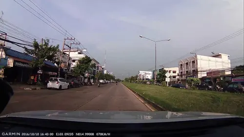
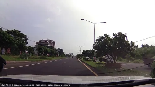
- Street-level photo, poramet, CC BY-SA 4.0
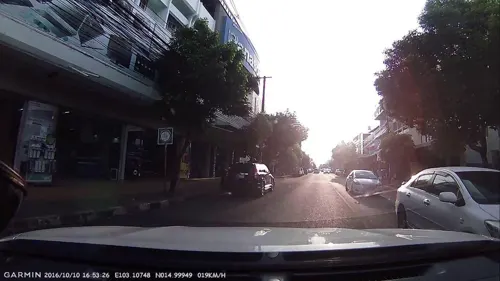
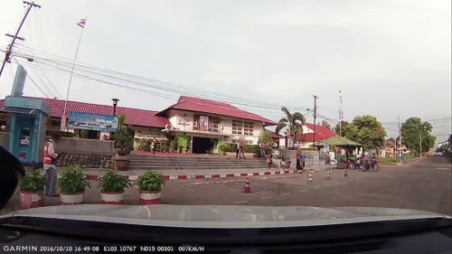
- Street-level photo, poramet, CC BY-SA 4.0
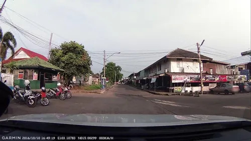
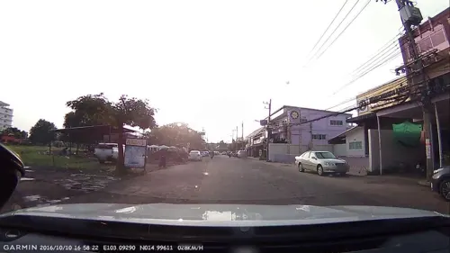
- Street-level photo, poramet, CC BY-SA 4.0
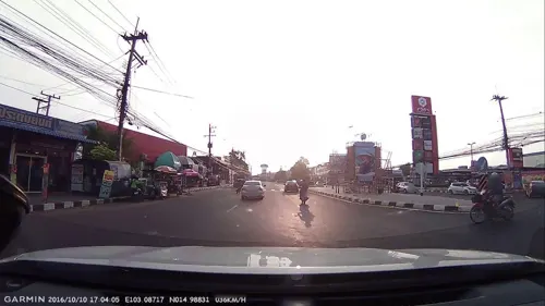
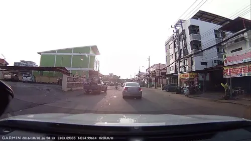
- Street-level photo, poramet, CC BY-SA 4.0
- Street-level photo, poramet, CC BY-SA 4.0
- Street-level photo, poramet, CC BY-SA 4.0
- Street-level photo, poramet, CC BY-SA 4.0
- Street-level photo, poramet, CC BY-SA 4.0
- Street-level photo, poramet, CC BY-SA 4.0
- Street-level photo, poramet, CC BY-SA 4.0
- Street-level photo, poramet, CC BY-SA 4.0
- Street-level photo, poramet, CC BY-SA 4.0
- Street-level photo, ThailandCambodia, CC BY-SA 4.0
- Street-level photo, poramet, CC BY-SA 4.0
- Street-level photo, ThailandCambodia, CC BY-SA 4.0
- Street-level photo, poramet, CC BY-SA 4.0
- Street-level photo, poramet, CC BY-SA 4.0
- Street-level photo, poramet, CC BY-SA 4.0


Page built November 10, 2026. Spotted a mistake? Tell us or suggest a place.