


Nang Rong, Thailand
เทศบาลเมืองนางรอง
Nang Rong is a town of 21,961 people in Buriram, Thailand, founded in January 7, 1957.
Why visit Nang Rong
Townapedia lists 13 places to eat and 11 places to stay in and around town.
Weather in Nang Rong
Forecast from MET Norway (CC BY 4.0). Full forecast
About Nang Rong
Nang Rong (Thai: นางรอง) is a town (Thesaban Mueang) of Buriram Province, in north-eastern Thailand.
From the Wikipedia article Nang Rong, Buriram (this version), under CC BY-SA 4.0.
Travel tips from other travellers: Nang Rong on Wikivoyage (CC BY-SA 4.0).
Photos of Nang Rong


Restaurants and cafes13
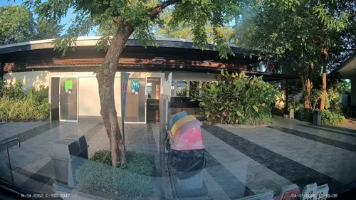
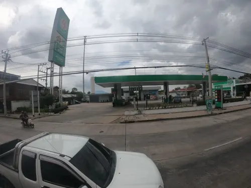


Grandma and Grandpa's Noodles
Restaurant · Noodles, Thai
Mo-Su 09:00-17:00
ครัวสอง 8 Take home
Restaurant · 1.4 km
767/107 ถ.โชคชัย-เดชอุดม, ต.นางรอง อ.นางรอง จ.บุรีรัมย์

1 more on the map.
Where to stay11

Nang Rong Hotel
Motel and hotel · 0.8 km
D 250B cold sh. AC rooms avail. 01-DEC-08
Churches and places of worship1

Shopping1

History
The first local government for Nang Rong was created in 1957, when it became a sanitary district (sukhaphiban). On November 8, 1986, the sanitary district was upgraded to a subdistrict municipality (thesaban tambon), and effective August 3, 2005, it became a town (thesaban mueang).
From the History section of Nang Rong, Buriram on Wikipedia, under CC BY-SA 4.0.
More about Nang Rong
Geography
Nang Rong is the central town of Nang Rong District, containing the district office and other government offices.
It is the closest major town to the Phanom Rung Historical Park, an 11th-century religious site.
From the Wikipedia article Nang Rong, Buriram, under CC BY-SA 4.0.
Gas and EV charging6
Schools, colleges and libraries1
Healthcare3
Jupiter Clinic. Center of Lifting and Skin Rejuvenation
Clinic and pharmacy · 0.8 km
Map of Nang Rong
36 places. The map loads OpenStreetMap tiles when you open it.
Getting there and nearby towns
Nakhon Ratchasima Airport (NAK) is the nearest airport with scheduled flights listed in OpenStreetMap, 62 km away.
- Nong Ki 28 km west, about 28 min by car
- Prakhon Chai 36 km east, about 36 min by car
- Ban Huai Thalaeng 41 km north, about 41 min by car
- Soeng Sang 43 km southwest, about 43 min by car
- Buri Ram 52 km northeast, about 52 min by car
- Khon Buri 60 km west, about 1 h by car
- Chok Chai 68 km west, about 1 h 15 min by car
- Phimai 72 km northwest, about 1 h 15 min by car
- Surin 80 km east, about 1 h 15 min by car
- Nakhon Ratchasima 83 km northwest, about 1 h 30 min by car
Drive times are estimates from straight-line distance, not routes.
Towns near Nang Rong


Keep exploring
Local news
Headlines from INDB.
Reviews, tips and questions
Loading what members have shared...
Sources and licences
- GeoNames (CC BY 4.0): population, coordinates, regions and time zone
- Mapillary (see each image): photos
- OpenStreetMap contributors (ODbL 1.0): places, airports, map data
- Wikidata (CC0 1.0): elevation, founding date, time zone, website
- Wikimedia Commons (see each image): photos
- Wikipedia (CC BY-SA 4.0): overview and history text
Photo credits
- Highway 24 in Nang Rong, Mr.Conan, CC BY-SA 3.0
- Nang Rong Hospital - May 2025 - img 04, Reversemos.sapanaht, CC BY-SA 4.0
- Nang Rong Hospital - May 2025 - img 02, Reversemos.sapanaht, CC BY-SA 4.0
- Nang Rong Hospital - May 2025 - img 03, Reversemos.sapanaht, CC BY-SA 4.0
- Nang Rong Hospital - May 2025 - img 01, Reversemos.sapanaht, CC BY-SA 4.0
- NRH - Nang Rong Hospital, Nang Rong, Buriram 04, Reversemos.sapanaht, CC BY-SA 4.0
- NRH - Nang Rong Hospital, Nang Rong, Buriram 03, Reversemos.sapanaht, CC BY-SA 4.0
- NRH - Nang Rong Hospital, Nang Rong, Buriram 02, Reversemos.sapanaht, CC BY-SA 4.0
- NRH - Nang Rong Hospital, Nang Rong, Buriram 01, Reversemos.sapanaht, CC BY-SA 4.0
- Nang Rong, Buriram - May 2025 - img 02, Reversemos.sapanaht, CC BY-SA 4.0
- Nang Rong, Buriram - May 2025 - img 01, Reversemos.sapanaht, CC BY-SA 4.0
- Nang Rong Bus Terminal, Nang Rong, Buriram - May 2025, Reversemos.sapanaht, CC BY-SA 4.0
- Street-level photo, ThailandCambodia, CC BY-SA 4.0
- Street-level photo, ozflor, CC BY-SA 4.0
- Street-level photo, ThailandCambodia, CC BY-SA 4.0
- Street-level photo, ThailandCambodia, CC BY-SA 4.0
- Street-level photo, ozflor, CC BY-SA 4.0
- Street-level photo, ThailandCambodia, CC BY-SA 4.0


Page built November 10, 2026. Spotted a mistake? Tell us or suggest a place.