
Khao Wong, Thailand
อำเภอเขาวง
Khao Wong is a town of 15,184 people in Kalasin, Thailand.
Why visit Khao Wong
Townapedia lists 2 places to eat in and around town.
Weather in Khao Wong
Forecast from MET Norway (CC BY 4.0). Full forecast
About Khao Wong
Khao Wong (Thai: เขาวง, pronounced [kʰǎw wōŋ]) is a district (amphoe) in the eastern part of Kalasin province, northeastern Thailand.
From the Wikipedia article Khao Wong district (this version), under CC BY-SA 4.0.
Restaurants and cafes2
Shopping3

Schools, colleges and libraries1

Healthcare1

History
The minor district (king amphoe) was created on 1 June 1969, when the five tambons Khum Kao, Song Plueai, Na Khu, Phu Laen Chang, and Nong Phue were split off from Kuchinarai district. It was upgraded to a full district on 1 April 1974.
From the History section of Khao Wong district on Wikipedia, under CC BY-SA 4.0.
More about Khao Wong
Geography
Neighboring districts are (from the south clockwise) Kuchinarai and Na Khu of Kalasin Province, Dong Luang and Khamcha-i of Mukdahan province.
From the Wikipedia article Khao Wong district, under CC BY-SA 4.0.
Map of Khao Wong
7 places. The map loads OpenStreetMap tiles when you open it.
Getting there and nearby towns
Sakon Nakhon Airport (SNO) is the nearest airport with scheduled flights listed in OpenStreetMap, 55 km away.
- Kuchinarai 18 km south, about 18 min by car
- Moeiwadi 35 km south, about 35 min by car
- Ban I Toeng 38 km northwest, about 38 min by car
- Waeng 46 km south, about 46 min by car
- Sakon Nakhon 52 km north, about 52 min by car
- Chai Wari 54 km southwest, about 54 min by car
- Kamalasai 68 km southwest, about 1 h 15 min by car
- Kalasin 69 km southwest, about 1 h 15 min by car
- Mukdahan 70 km east, about 1 h 15 min by car
- Roi Et 85 km southwest, about 1 h 30 min by car
Drive times are estimates from straight-line distance, not routes.
Keep exploring
Local news
Headlines from INDB.
Reviews, tips and questions
Loading what members have shared...
Sources and licences
- GeoNames (CC BY 4.0): population, coordinates, regions and time zone
- Mapillary (see each image): photos
- OpenStreetMap contributors (ODbL 1.0): places, airports, map data
- Wikidata (CC0 1.0): elevation, founding date, time zone, website
- Wikipedia (CC BY-SA 4.0): overview and history text
Photo credits
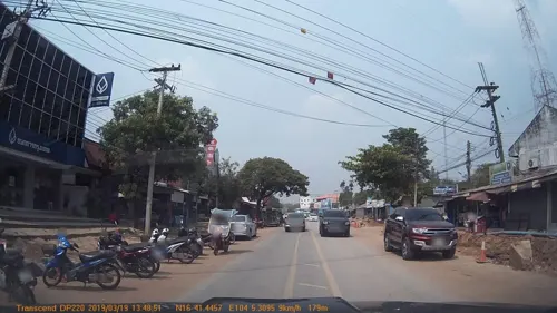
- Street-level photo, mapcreator, CC BY-SA 4.0
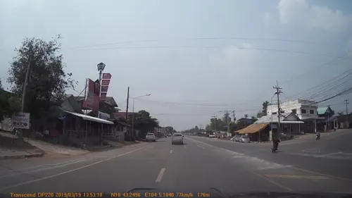
- Street-level photo, mapcreator, CC BY-SA 4.0
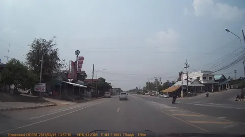
- Street-level photo, mapcreator, CC BY-SA 4.0
Page built November 10, 2026. Spotted a mistake? Tell us or suggest a place.