


Pai, Thailand
เทศบาลตำบลปาย
Pai is a town of 2,284 people in Chiang Mai, Thailand, founded in September 20, 1956.
Why visit Pai
Townapedia lists 5 museums and landmarks, 2 parks and trails, 151 places to eat and 172 places to stay in and around town.
Weather in Pai
Forecast from MET Norway (CC BY 4.0). Full forecast
About Pai
Pai (Thai: ปาย, Burmese: ပါယ်) is a small town in northern Thailand's Mae Hong Son Province, near the Myanmar border, about 146 km (91 mi) northwest of Chiang Mai, on the northern route to Mae Hong Son. It lies on the Pai River. The town has thesaban tambon status and covers parts of the tambon Wiang Tai of Pai District. As of 2006, it had a population of 2,284.
From the Wikipedia article Pai, Thailand (this version), under CC BY-SA 4.0.
Travel tips from other travellers: Pai on Wikivoyage (CC BY-SA 4.0).
Photos of Pai


Museums and landmarks5

Long Neck Karen Villa in Pai
Monument and historic site · 1.8 km
Mo-Su 08:30-17:00

Parks, trails and playgrounds2


Restaurants and cafes151
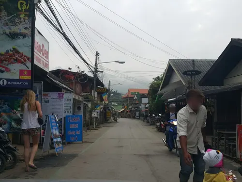

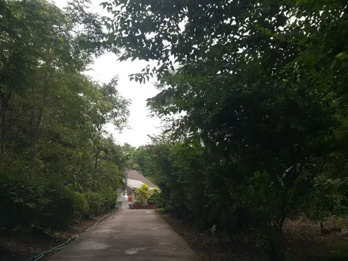
Coffee Studio
Cafe · Coffee Shop · 1.0 km
393 Mae Hi, Pai District, Mae Hong Son 58130, Thailand
Mo-Su 08:00-17:00
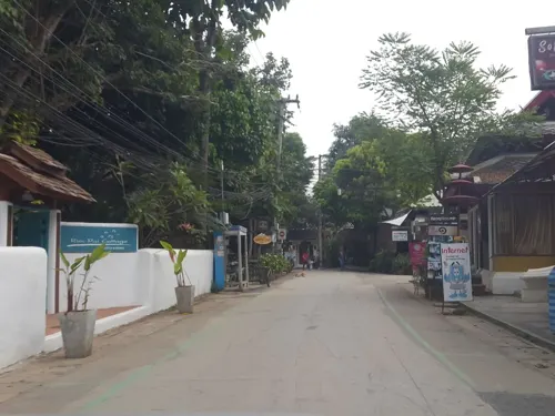
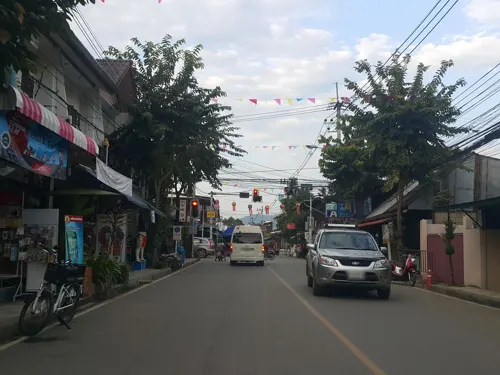

Centrico Pai (Halal)
Restaurant · Mexican
138 138 Chai Songkhram Rd, Pai
Mo-Su 10:00-24:00

Toast Office
Cafe · Thai, Coffee Shop, Pizza, Ice Cream, Steak House, Dessert · 1.1 km
450/34-35 Moo 8
Mo-Su 10:00-19:00

Nolo Hub Pai
Bar and pub · 1.2 km
Hostel, Bar, Cafe, Pool and Cowork space
Residential Road, Pai
Mo-Su 08:00-22:00
139 more on the map.
Where to stay172


Pai RiverJam Hostel
Motel and hotel · 0.8 km
99 Moo หมู่ 4 Wiang Tai, Amphoe Pai, Chang Wat Mae Hong Son 58130, Pai
Mo-Su 08:00-22:00
160 more on the map.
History
The area of modern-day Pai has been inhabited for more than 5,000 years. About 2,000 years ago, the Lawa tribe was the dominant ethnic group over all of the area of today's northern Thailand, and a few of their descendants still live in villages only about 20 km away from Pai.
Read more of the history
The recorded history of the area starts about 800 years ago, with the establishment of a settlement (today known as Ban Wiang Nuea) about 3 km north of modern-day Pai. Ban Wiang Nuea was founded in 1251 CE by Shan immigrants from the region of modern-day northern Myanmar. Due to the area's remoteness and seclusion, people in those times were mostly cut off from news of the outside world and therefore not much concerned with the politics of Lanna and the rest of Thailand. That changed drastically during the course of the 14th and 15th centuries, when the first settlers arrived from Chiang Mai. It was part of Lanna policy at the time to send citizens loyal to the throne to the outposts of the empire, in order to consolidate and affirm its territorial authority. The result was a conflict that eventually led to a series of wars over territorial dominance in the Pai area. Lanna troops finally defeated the Shan in 1481, forcing them to retire to Burmese territory. The Shan families who had lived in the area for a long time, establishing households, farming land, and raising families, were granted permission to stay by the Lanna prince, along with a certain degree of cultural and social autonomy under the law and authority of the Lanna kingdom. Ban Wiang Nuea as a result became a village strictly divided by a wall into a Shan part and a Lanna part.
In the second half of the 19th century, colonial powers France and England, who had already established their influence in Vietnam, Cambodia, Laos, and Burma, were viewing the area of modern-day Thailand with increasing interest. To consolidate Siam's influence and authority in the northern border region, the royal house encouraged northern Thais from provinces such as Phayao, Lamphun, and Nan to migrate to those areas. The result again was conflict: the last fight between Lanna and the Shan in Ban Wiang Nuea took place in 1869, when Lanna soldiers defeated their Shan opponents in a battle that ended with the total destruction of the village, which was burnt to the ground. All structures standing in Ban Vieng Nuea today are the result of the subsequent rebuilding efforts of the villagers.
There was already a road (that took up to a week to traverse) leading from Chiang Mai to Pai in the late 19th century. The settlement, then known as Ban Wiang Tai, developed into the modern town of Pai. Many new immigrants chose to settle in the area along the connecting network of trails to Mae Hong Son.
In 1943, Japan began several projects to create efficient troop and equipment transport routes between Thailand and Myanmar in support of their planned attacks on Imphal and Kohima. In addition to the so-called Death Railway through Kanchanaburi, this included improvement of the existing road from Chiang Mai to Pai as well as the patchwork of trails leading north to Mae Hong Son. A bridge spanning the Pai River about 10 km southeast of the city was built after the war and erroneously named the "World War II Memorial Bridge". It was apparently erected (and subsequently twice extended) in the course of road improvement projects by the Thai government. The Japanese efforts to develop road networks were abandoned in early 1944, when it became evident that the improvements could not be completed in time for the scheduled attack on Imphal. The incomplete road did serve as an avenue of retreat for the Japanese after their disastrous defeat at Imphal and Kohima, however.
In 1967, the Thai government started developing the road leading from Chiang Mai via Pai to Mae Hong Son, known today as Route 1095, but didn't finish paving it until the early- to mid-1990s.
In addition to the waves of old Shan and Lanna immigrants, Karen migrants arrived in the 18th century, Lisu and Lahu people from areas of southern China came in the early 20th, Muslim families from Chiang Mai began arriving to establish trading businesses starting around 1950, a group of Kuomintang soldiers fleeing China in the wake of their defeat in the Chinese Civil War established a community in Pai in the early 1960s, and finally, a new wave of refugees from the Shan State of Burma have migrated to the area in the past few decades, fleeing the turmoil in Myanmar to work as laborers in Thailand.
Pai suffered a huge mudslide and severe flooding in 2005, resulting in major structural damage to homes, resorts, storefronts, and bridges.
From the History section of Pai, Thailand on Wikipedia, under CC BY-SA 4.0.
More about Pai
Arts and culture
Pai was once a quiet market village inhabited by Shan people whose culture is influenced by Myanmar. As of 2026, Pai primarily thrives on tourism. Known among backpackers for its relaxed atmosphere, the town is full of cheap guesthouses, souvenir shops, and restaurants. Its surroundings include so-called "elephant camps", waterfalls, hot springs, and hiking trails. As Pai lies in a valley, some tourists use it as a base for trekking and visiting hill tribes like Karen, Hmong, Lisu, and Lahu.
Pai has several 7-Elevens, a number of small- to medium-sized luxury resorts, live music clubs, and beer bars. While some locals hail this tourism boom as a new age of prosperity for Pai, others point to the loss of the town's traditional customs and culture.
During the tourist high season of November through March, tourist numbers swell to the point that Pai experiences traffic jams as well as shortages of electricity, water, and gasoline.
From the Wikipedia article Pai, Thailand, under CC BY-SA 4.0.
Churches and places of worship11
Guanyin in Pai (พระโพธิสัตว์กวนอิม โรงเจปายฟ้า ปาย แม่ฮ่องสอน)
Place of worship · 1.3 km
Shopping7
Gas and EV charging3
Schools, colleges and libraries2
Healthcare3
Map of Pai
250 places. The map loads OpenStreetMap tiles when you open it.
Getting there and nearby towns
Pai Airport (PYY) is the nearest airport with scheduled flights listed in OpenStreetMap, 1 km away.
- Wiang Nuea 2 km north, about 2 min by car
- Mae Hong Son 50 km west, about 50 min by car
- Ban Pa Khaem 71 km southeast, about 1 h 15 min by car
- Ban Mae Waen 79 km east, about 1 h 15 min by car
- Phrao 80 km east, about 1 h 15 min by car
- Chiang Mai 86 km southeast, about 1 h 30 min by car
- Ban Mae Thalop 87 km northeast, about 1 h 30 min by car
- Ban Mueang Pon 87 km southwest, about 1 h 30 min by car
Drive times are estimates from straight-line distance, not routes.
Towns near Pai


Keep exploring
Local news
Headlines from INDB.
Reviews, tips and questions
Loading what members have shared...
Sources and licences
- GeoNames (CC BY 4.0): population, coordinates, regions and time zone
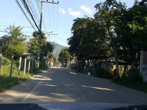
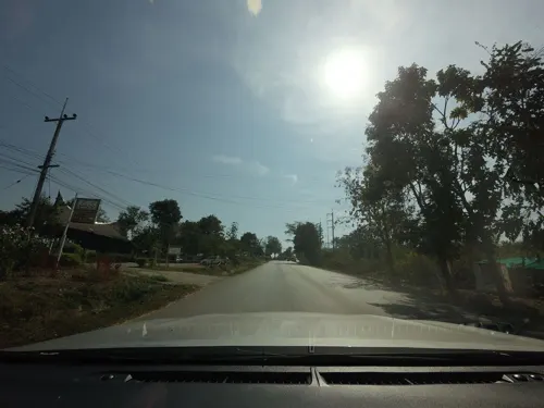
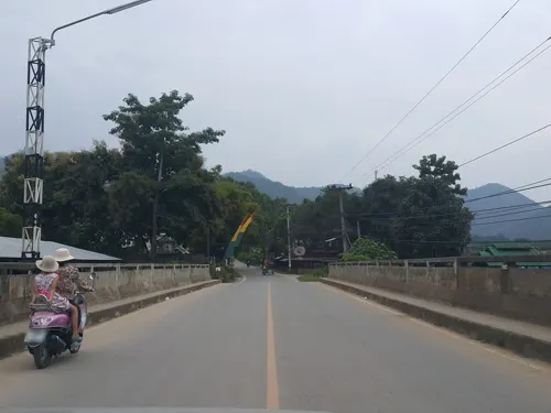
- Mapillary (see each image): photos
- OpenStreetMap contributors (ODbL 1.0): places, airports, map data
- Wikidata (CC0 1.0): elevation, founding date, time zone, website
- Wikimedia Commons (see each image): photos
- Wikipedia (CC BY-SA 4.0): overview and history text
Photo credits
- View of Pai 3, Christophe95, CC BY-SA 4.0
- Wat Klang Pai 4, Christophe95, CC BY-SA 4.0
- Wat Luang Pai 5, Christophe95, CC BY-SA 4.0
- Pai, Pai District, Mae Hong Son 58130, Thailand - panoramio, Chen Zhi, CC BY 3.0
- 泰国pai县街头 - panoramio (13), 江上清风1961, CC BY 3.0
- 泰国pai县街头 - panoramio (8), 江上清风1961, CC BY 3.0
- Pai Walking Street 1, Christophe95, CC BY-SA 4.0
- 泰国pai县风光 - panoramio (52), 江上清风1961, CC BY 3.0
- Wat Luang Pai 2, Christophe95, CC BY-SA 4.0
- Wat Luang Pai 3, Christophe95, CC BY-SA 4.0
- Wat Luang Pai 6, Christophe95, CC BY-SA 4.0
- Wat Luang Pai 4, Christophe95, CC BY-SA 4.0
- Wat Luang Pai 1, Christophe95, CC BY-SA 4.0
- Pai Walking Street 3, Christophe95, CC BY-SA 4.0
- Mae Hong Son Provincial Court - Pai Branch, Christophe95, CC BY-SA 4.0
- Wat Klang Pai 1, Christophe95, CC BY-SA 4.0
- Wat Klang Pai 2, Christophe95, CC BY-SA 4.0
- 泰国pai县街头 - panoramio (1), 江上清风1961, CC BY 3.0
- Wat Klang Pai 5, Christophe95, CC BY-SA 4.0
- 泰国pai县街头 - panoramio (14), 江上清风1961, CC BY 3.0
- Wat Klang Pai 3, Christophe95, CC BY-SA 4.0
- Trekking towards watefall near Pai - panoramio, Bernhard T, CC BY-SA 3.0
- Trekking towards watefall near Pai - panoramio (2), Bernhard T, CC BY-SA 3.0
- Trekking towards watefall near Pai - panoramio (3), Bernhard T, CC BY-SA 3.0
- Pai Walking Street 5, Christophe95, CC BY-SA 4.0
- Wat Pa Kham Pai 5, Christophe95, CC BY-SA 4.0
- Islamic mosque of Pai (Northern Thailand 2018) - 31631195887, Paul Arps, CC BY 2.0
- Islamic Thai wearing niqaab in Pai (Northern Thailand 2018) (45658074005), Paul Arps from The Netherlands, CC BY 2.0
- Wat Pa Kham Pai 4, Christophe95, CC BY-SA 4.0
- Wat Pa Kham Pai 2, Christophe95, CC BY-SA 4.0
- Wat Pa Kham Pai 1, Christophe95, CC BY-SA 4.0
- Wat Pa Kham Pai 3, Christophe95, CC BY-SA 4.0
- ร้านมิตรไทย ปาย ร้านยุคแรกๆ - panoramio, ::::=UT=::::, CC BY-SA 3.0
- Action - panoramio, Boonchai C, CC BY 3.0
- กสิกรไทย สาขาปาย - panoramio, ::::=UT=::::, CC BY-SA 3.0
- Village woman grooming her pony (Unsplash), Bantita Wongwai pearrigirl, CC0
- เคนเตอร์เฮาส์ 300 บาท-คืน - panoramio, ::::=UT=::::, CC BY-SA 3.0
- ห้องพักที่ปาย - panoramio, ::::=UT=::::, CC BY-SA 3.0
- บ้านไม้คนเมืองปาย......ล็อบบี้ - panoramio, ::::=UT=::::, CC BY-SA 3.0
- บ้านไม้คนเมืองปาย.....ป้ายหน้าทางเดินเข้าห้องพัก - panoramio, ::::=UT=::::, CC BY-SA 3.0
- Street-level photo, jrcarlsen, CC BY-SA 4.0
- Street-level photo, julcnx, CC BY-SA 4.0
- Street-level photo, jrcarlsen, CC BY-SA 4.0
- Street-level photo, jrcarlsen, CC BY-SA 4.0
- Street-level photo, jrcarlsen, CC BY-SA 4.0
- Street-level photo, jrcarlsen, CC BY-SA 4.0
- Street-level photo, julcnx, CC BY-SA 4.0
- Street-level photo, jrcarlsen, CC BY-SA 4.0
- Street-level photo, mishari, CC BY-SA 4.0
- Street-level photo, jrcarlsen, CC BY-SA 4.0
- Street-level photo, jrcarlsen, CC BY-SA 4.0
- Street-level photo, mishari, CC BY-SA 4.0
- Street-level photo, jrcarlsen, CC BY-SA 4.0
- Street-level photo, jrcarlsen, CC BY-SA 4.0
- Street-level photo, jrcarlsen, CC BY-SA 4.0
- Street-level photo, jrcarlsen, CC BY-SA 4.0
- Street-level photo, jrcarlsen, CC BY-SA 4.0
- Street-level photo, jrcarlsen, CC BY-SA 4.0
- Street-level photo, jrcarlsen, CC BY-SA 4.0
- Street-level photo, mishari, CC BY-SA 4.0
- Street-level photo, mishari, CC BY-SA 4.0


Page built November 10, 2026. Spotted a mistake? Tell us or suggest a place.