


Pak Chong, Thailand
เทศบาลเมืองปากช่อง
Pak Chong is a town of 48,999 people in Nakhon Ratchasima, Thailand, founded in August 3, 1956.
Why visit Pak Chong
Townapedia lists 1 museum or landmark, 1 park or trail, 7 places to eat and 8 places to stay in and around town.
Weather in Pak Chong
Forecast from MET Norway (CC BY 4.0). Full forecast
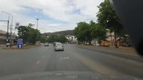
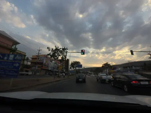
Photos of Pak Chong


Museums and landmarks1
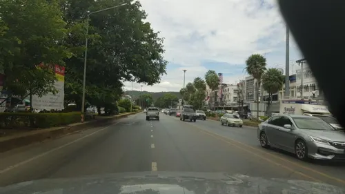
Parks, trails and playgrounds1

Restaurants and cafes7

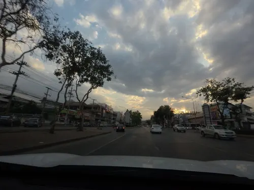
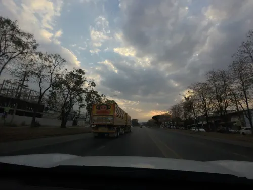
อีหล่า สุกี้&ชาบู E-LA SHABU
Restaurant · ร้านอาหาร, ชาบู, สุกี้ · 1.7 km
1605/1 มิตรภาพ, ปากช่อง
Mo-Su 11:00-22:00

ครัวเจ๊เตียบอาหารตามสั่ง
Restaurant · Thai · 0.6 km
06:00-15:30

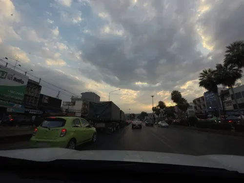
Where to stay8

Churches and places of worship3
Gas and EV charging2
Schools, colleges and libraries1
Healthcare3
Map of Pak Chong
26 places. The map loads OpenStreetMap tiles when you open it.
Getting there and nearby towns
Khok Kathiam Airforce Base (KKM) is the nearest airport with scheduled flights listed in OpenStreetMap, 83 km away.
- Amphoe Sikhiu 38 km northeast, about 38 min by car
- Kaeng Khoi 47 km west, about 47 min by car
- Sung Noen 48 km northeast, about 48 min by car
- Saraburi 57 km west, about 57 min by car
- Nakhon Nayok 60 km south, about 1 h by car
- Ban Noen Hom 59 km south, about 59 min by car
- Chai Badan 63 km northwest, about 1 h by car
- Phra Phutthabat 67 km west, about 1 h by car
- Prachantakham 72 km south, about 1 h 15 min by car
- Nakhon Ratchasima 79 km east, about 1 h 15 min by car
Drive times are estimates from straight-line distance, not routes.
Towns near Pak Chong


Keep exploring
Local news
Headlines from INDB.
Reviews, tips and questions
Loading what members have shared...
Sources and licences
- GeoNames (CC BY 4.0): population, coordinates, regions and time zone
- Mapillary (see each image): photos
- OpenStreetMap contributors (ODbL 1.0): places, airports, map data
- Wikidata (CC0 1.0): elevation, founding date, time zone, website
- Wikimedia Commons (see each image): photos
Photo credits
- Pak Chong Ahoerstemeier 9, Ahoerstemeier, CC BY 4.0
- Pak Chong Ahoerstemeier 6, Ahoerstemeier, CC BY 4.0
- Pak Chong Ahoerstemeier 7, Ahoerstemeier, CC BY 4.0
- Pak Chong Ahoerstemeier 5, Ahoerstemeier, CC BY 4.0
- Pak Chong Ahoerstemeier 4, Ahoerstemeier, CC BY 4.0
- Pak Chong, Pak Chong District, Nakhon Ratchasima, Thailand - panoramio (3), mohigan, CC BY-SA 3.0
- Pak Chong, Pak Chong District, Nakhon Ratchasima, Thailand - panoramio (4), mohigan, CC BY-SA 3.0
- Wat Khiri Wan empty Bai Sema, Ahoerstemeier, CC BY-SA 4.0
- Wat Khiri Wan ubosot 2, Ahoerstemeier, CC BY-SA 4.0
- Wat Khiri Wan old chedi, Ahoerstemeier, CC BY-SA 4.0
- Wat Khiri Wan ubosot 1, Ahoerstemeier, CC BY-SA 4.0
- Wat Khiri Wan old Bai Sema, Ahoerstemeier, CC BY-SA 4.0
- Wat Khiri Wan old ubosot, Ahoerstemeier, CC BY-SA 4.0
- Wat Khiri Wan office, Ahoerstemeier, CC BY-SA 4.0
- Wat Khiri Wan Brahma statue, Ahoerstemeier, CC BY-SA 4.0
- Wat Khiri Wan bell tower, Ahoerstemeier, CC BY-SA 4.0
- Wat Khiri Wan funeral chedis, Ahoerstemeier, CC BY-SA 4.0
- Wat Khiri Wan Sala, Ahoerstemeier, CC BY-SA 4.0
- The Hakkas association of Pakchong Thailand 2, Syced, CC0
- The Hakkas association of Pakchong Thailand 3, Syced, CC0
- The Hakkas association of Pakchong Thailand, Syced, CC0
- More than Sleep Hostel Pakchong, Syced, CC0
- Wat Siri Samphan, Syced, CC0
- ISS028-E-22099 - View of Earth, Earth Science and Remote Sensing Unit , Lyndon B. Johnson Space Center, Public domain
- ISS030-E-66790 - View of Earth, Earth Science and Remote Sensing Unit , Lyndon B. Johnson Space Center, Public domain
- Street-level photo, poramet, CC BY-SA 4.0
- Street-level photo, mishari, CC BY-SA 4.0
- Street-level photo, mishari, CC BY-SA 4.0
- Street-level photo, mishari, CC BY-SA 4.0
- Street-level photo, roadroid, CC BY-SA 4.0
- Street-level photo, mishari, CC BY-SA 4.0
- Street-level photo, mishari, CC BY-SA 4.0
- Street-level photo, roadroid, CC BY-SA 4.0


Page built November 10, 2026. Spotted a mistake? Tell us or suggest a place.